Day 70: Thousand Island Lake

Date: July 8, 2017
Miles: 4 mile road walk (non PCT miles) + 8.2 miles (13.2km), from Agnew Meadows Trailhead to Thousand Island Lake.
Health: Feel fresh after the zero in Mammoth. Right knee hurts but is ok with the knee brace.
I wake up to a really bad need to pee. I storm to the bathroom but Blis has gotten in before me and is taking a shower. Conveniently there's no lock on the door so I knock and barge in.
We all try to get up as it's already 7am and we need to be on the 10am trolley to the ski center. While others head for breakfast, I stay in to work on my blog. The internet is so slow here that everything takes such a long time. And when you're working on a mobile phone, you can't really multitask, you just have to wait and upload things one by one.
Others soon arrive and we start packing our packs. I stuff all my food into my bear can and the rest that doesn't fit I put in the Opsak. All my gear is almost ready, I'm only waiting for my electronics to finish charging.

Pack failure.
To give others more space to move in the small room I pick up my pack and as I do this, the fabric on the extension collar rips. And not a small rip, but a large rip. Great, just as we're leaving.
I've seen many backpacks breaking on this trip, and it's mostly been ZPacks, but now MLD's? There's not much to do. We figure that the best option is to sew it. Indigo takes charge and before I know it, my pack is like new. I just have to be more careful with it and not put any pressure on the extension collar.

Indigo fixing my broken pack.
The good things is, the pack only needs to last for a little over 100 miles, to Sonora Pass. From there we're hitchhiking to Bridgeport where my Pa'lante Pack is waiting, and from there we can ship our heavy Sierra gear home. I'm sure the double stitch Indigo did will hold that long.
I carefully pack my pack again and we head out to the trolley stop. Thanks to the backpack episode we're late on our schedule.

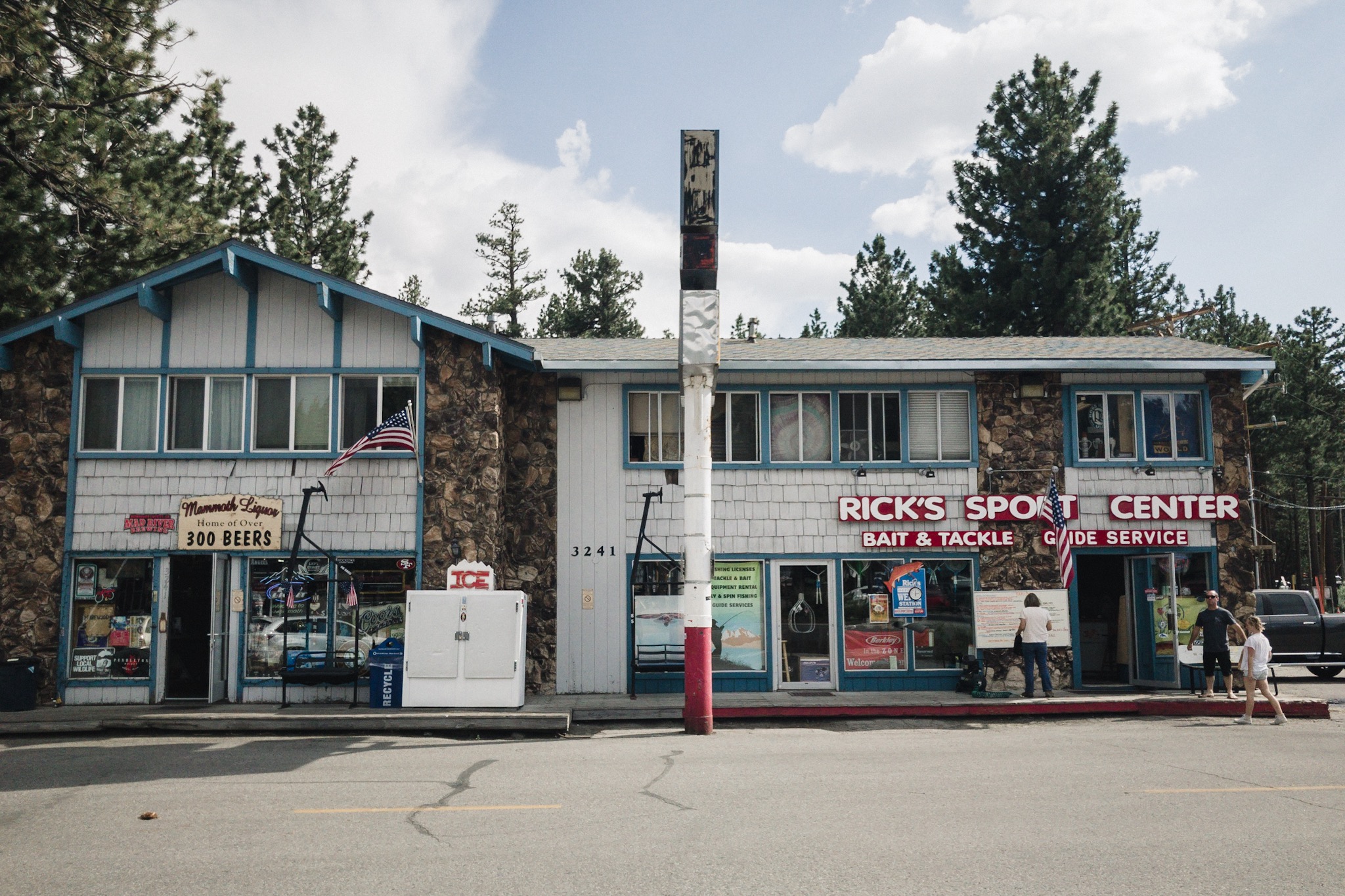
Happy at Mammoth.
After 10 minutes of waiting the next trolley comes and we hop aboard. We need to switch to another one that takes us all the way to the ski resort. From there we have a 4 mile road walk to Agnew Meadow from where we rejoin the PCT again. We wanted to go through Red's Meadow but the roads to get there are still closed.

Starting our roadwalk.
We walk the larger road and soon reach a ranger who informs us that there is road maintenance on the road ahead, they're cutting trees. From here the road narrows down and we soon reach a police officer and a civilian worker who make us wait for a minute. Once they get ok from the radio we can keep walking.

LL and Airplane Mode.
Not far down we run into another worker and we need to stop again. This time for a longer while as we have to wait for this massive tree to be cut down. We sit on the road and start eating.
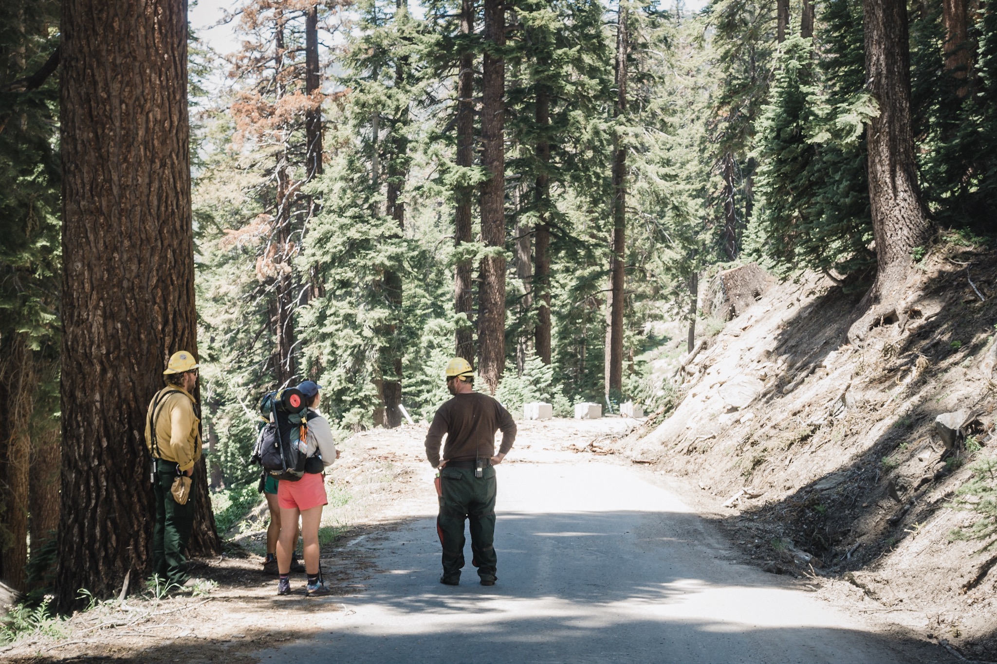
Indigo and LL talking to the forest crew.
Soon we see and hear the massive tree fall and we're cleared to continue. We get only few hundred feet down when we're stopped again. We sit down again and wait for two more trees to be cut down. Then we get cleared again. We get stopped two more times and our progress is very slow.

Waiting for the road to open. Again.
After all the stops it looks like we won't be going very far today. And luckily we don't have to. We're only trying to make it to Thousand Island Lake before the sun goes down.

Yoga break while waiting for trees to be cleared.
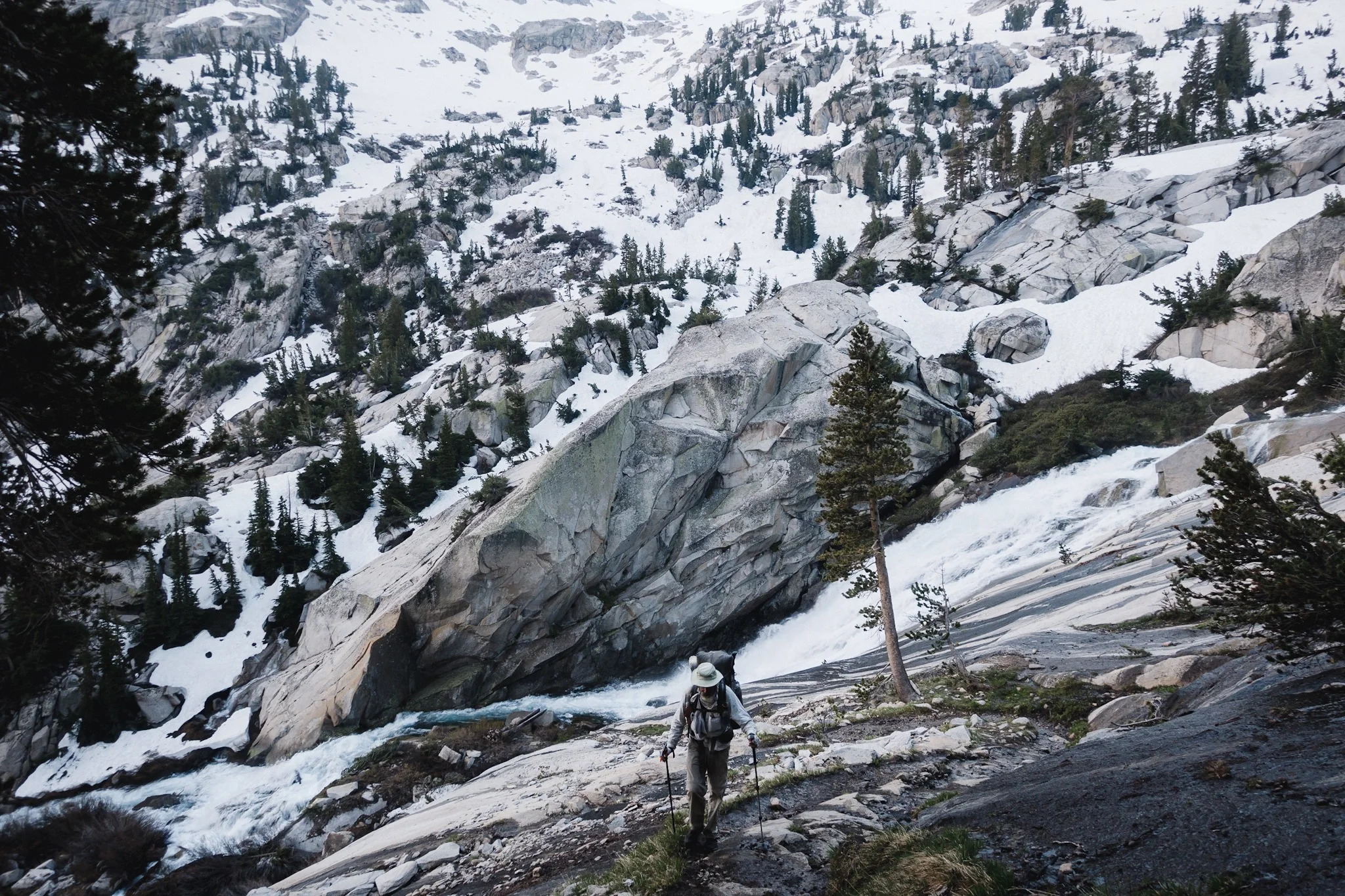
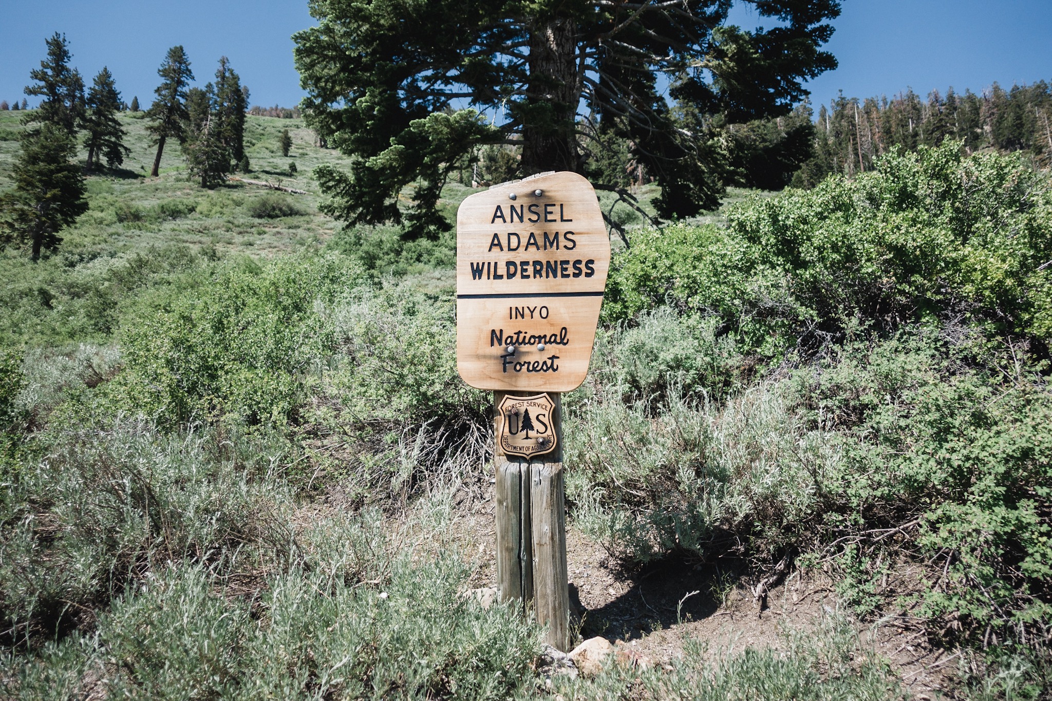
We soon reach the PCT trailhead, get some water from the stream close by, and then start climbing up. It's not a big climb on PCT standards but we still climb for over an hour.
Back in the wilderness.
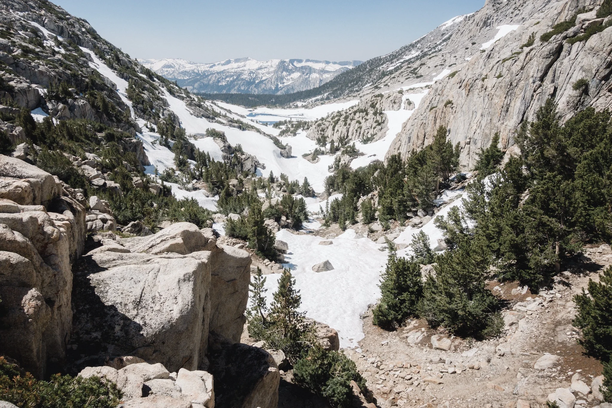
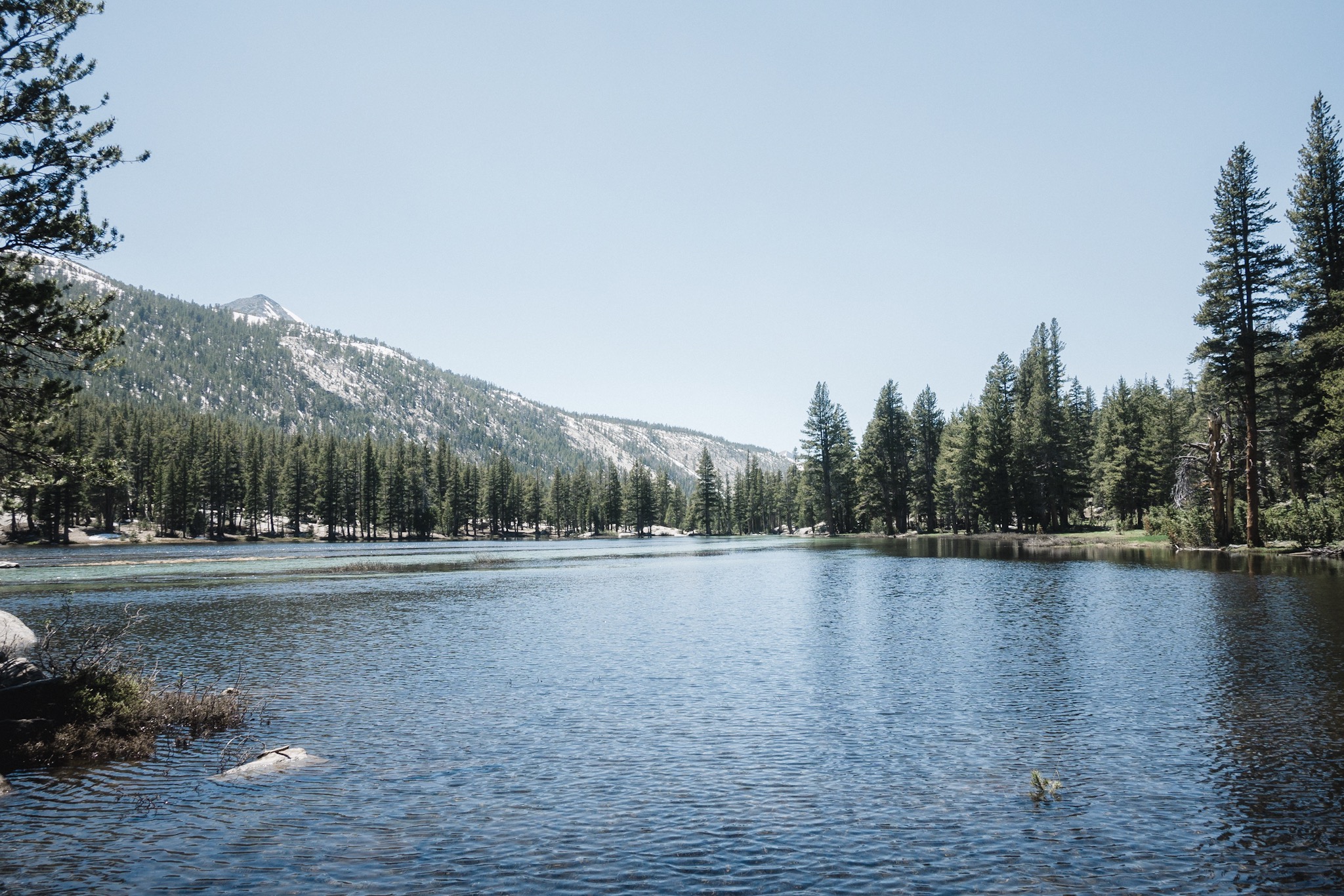
Once we get to the top of the ridgeline we're climbing, the views are absolutely breathtaking. Looking over a valley, we see a gorgeous, snow capped mountain range with waterfalls, lakes, and rivers. This is the part of the trail where the John Muir Trail and the PCT are separated. The JMT goes on the range we're looking at and the PCT on this side of the valley. I keep wondering if I'd rather walk on this side, and have all that beauty as my view, or walk on the other side among all the stream and lakes.

Group walking along the mountain side.
The trail keeps climbing gradually all the time and it feels like we're approaching a pass. I catch up to Indigo and Juniper at a small stream. They are super fast on uphill and I can't keep up with them. Soon Happy Feet, Airplane Mode, and Blis also catch up. We fill our water bottles, talk about how beautiful it is out here, and then keep hiking. It's going to be tight to make it to the lake before dark.

Looking over the valley to where JMT goes.
I'm soon hiking alone again as the girls push on fast, and the others stay behind. As I'm walking I start to hear rustling slightly above me. I take of my earphones but can't hear or see anything. I keep walking without my earphones and every now and then keep hearing something big moving above me on the small ridgeline. I stop on a spot where I have a good view of the ridgeline above but can't see anything. Must be a bear just outside my line of sight.

Indigo and LL.
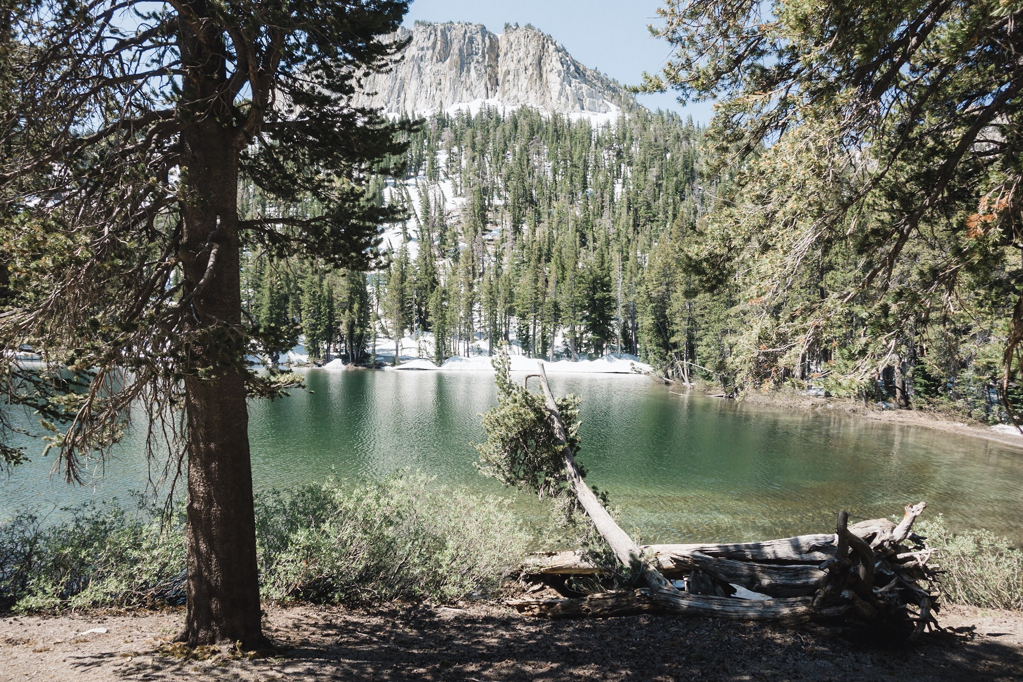
As I'm standing there, listening, Happy Feet catches up to me and we keep hiking up towards the lake. We soon reach the lake outlet and after a little bit of snow walking we see the lake. It's all frozen but the views are amazing.

Blis approves our camp spot for tonight.
We catch up to the girls and wait for the rest to come up while searching for a good spot to spend the night. Sun is already setting behind the mountains so we don't have much time left.

View from my sleeping bag.
After some searching we find a spot where we all can fit. Blis and I share a single tent spot by cowboy camping on it. Happy Feet makes his own spot between some rocks, and the girls setup their shelters. We eat dinner while looking at the sun creating all these cool colors on the mountain on the opposite side of the lake. Blis tells us stories on how he failed and in the end managed to climb the mountain we're looking at as a young guy.

Our campsite on Thousand Island Lake.
Soon it gets so cold that we need to get into our sleeping bags. I crawl in and watch the last rays of light still light the very tip of the mountains as the lake already rests in the shadows of the mountains behind us. Such beauty.
Sponsored by:
![]()