Day 26: Rollercoaster of a day

Date: May 25, 2017
Miles: 14.5 miles (23.3km), from the summit of Mt. Baden-Powell to mile 398.7.
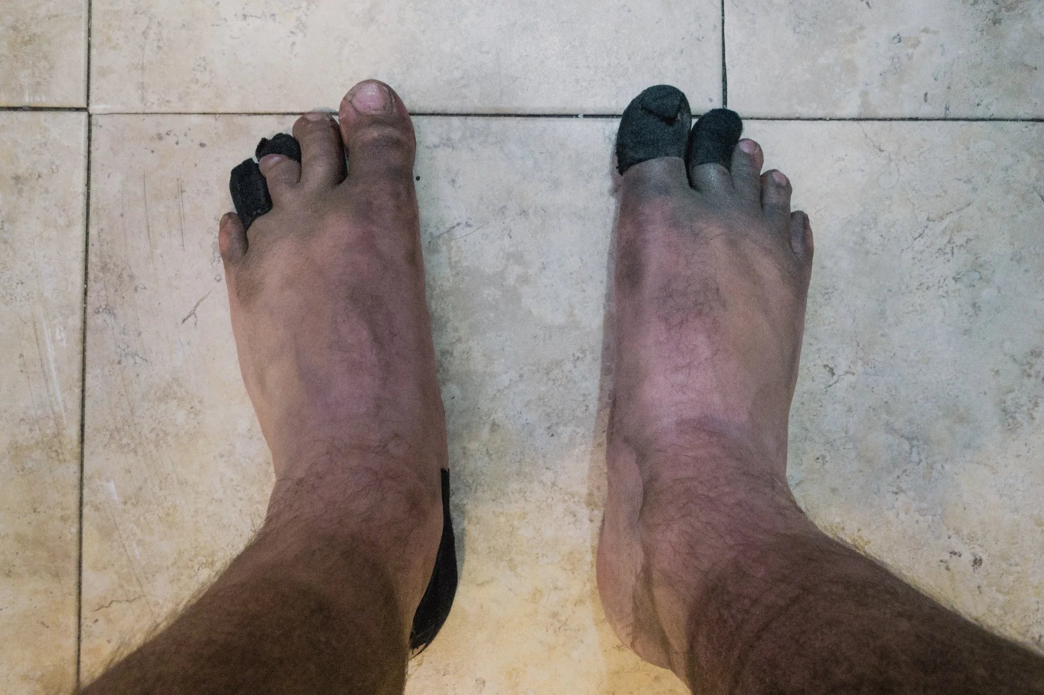
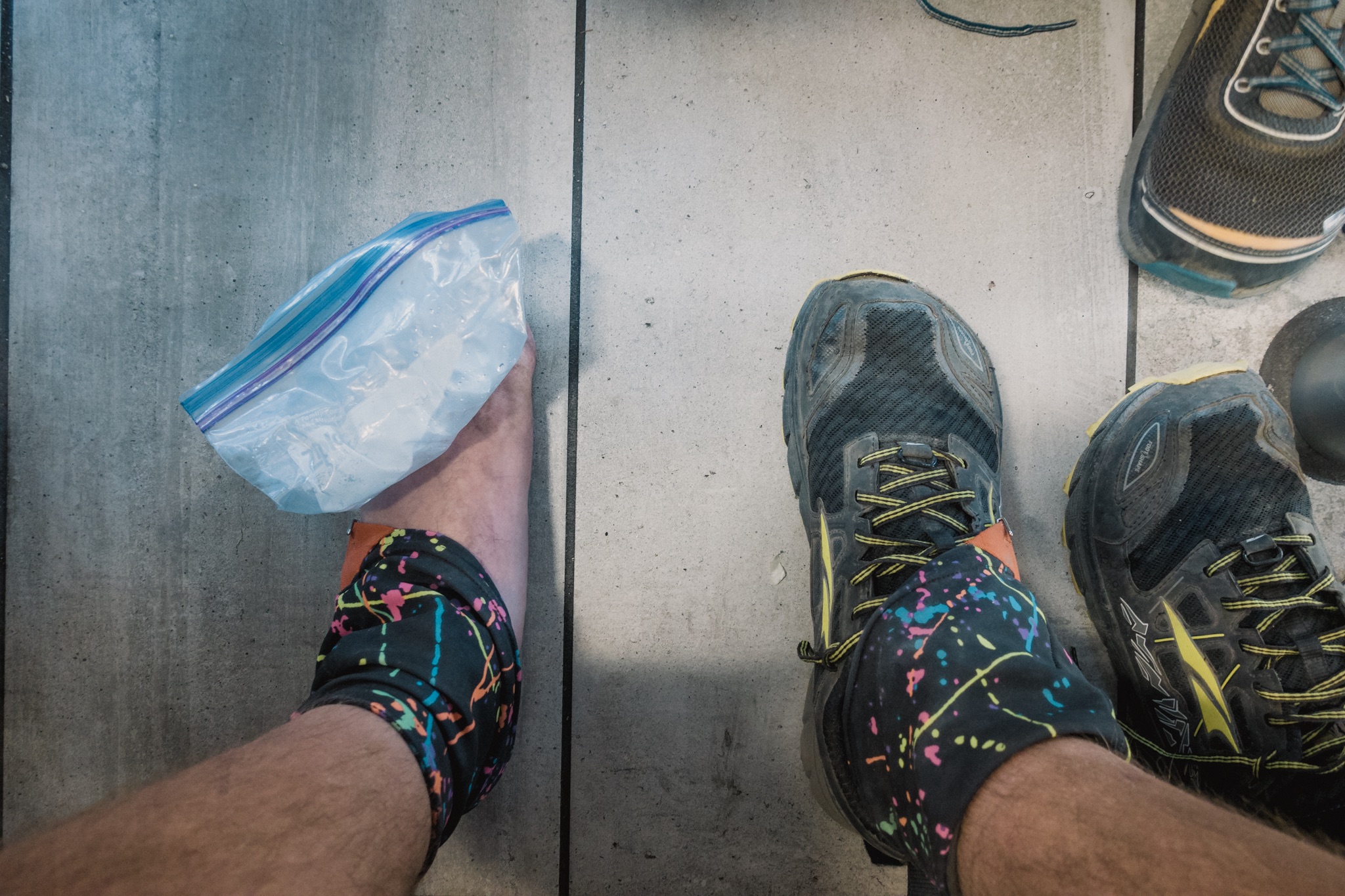
Health: Legs are tired from the climb. Would've needed extra day in Wrightwood to recover. Keep getting new blisters from my shoes.
Note: as my camera is still broken (see day 25), all photos here are from iPhone 7 Plus.

My view when waking up.
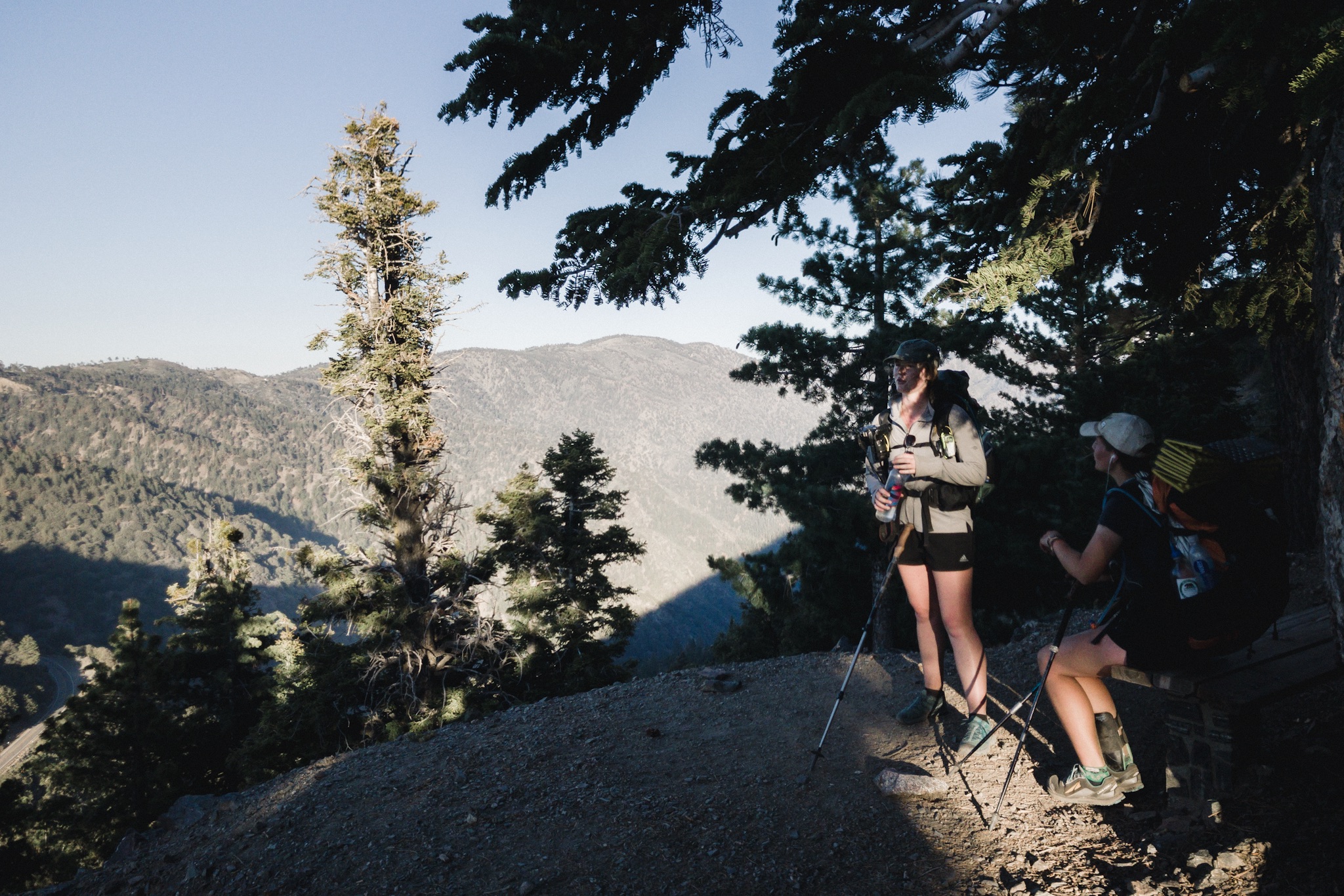
Today was a quite a mixup of emotions. It started with us all waking up at the summit of Mount Baden-Powell. The sunrise was just epic.

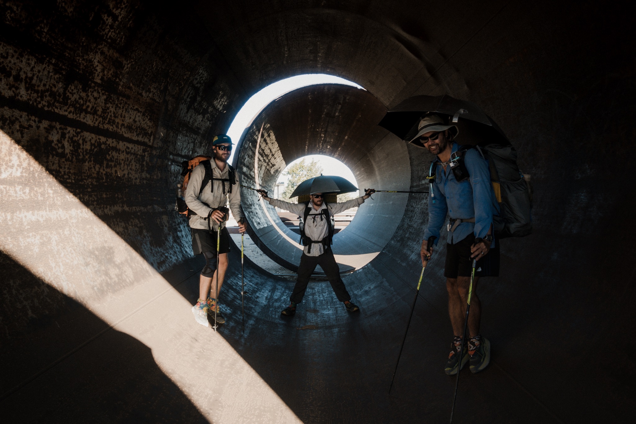
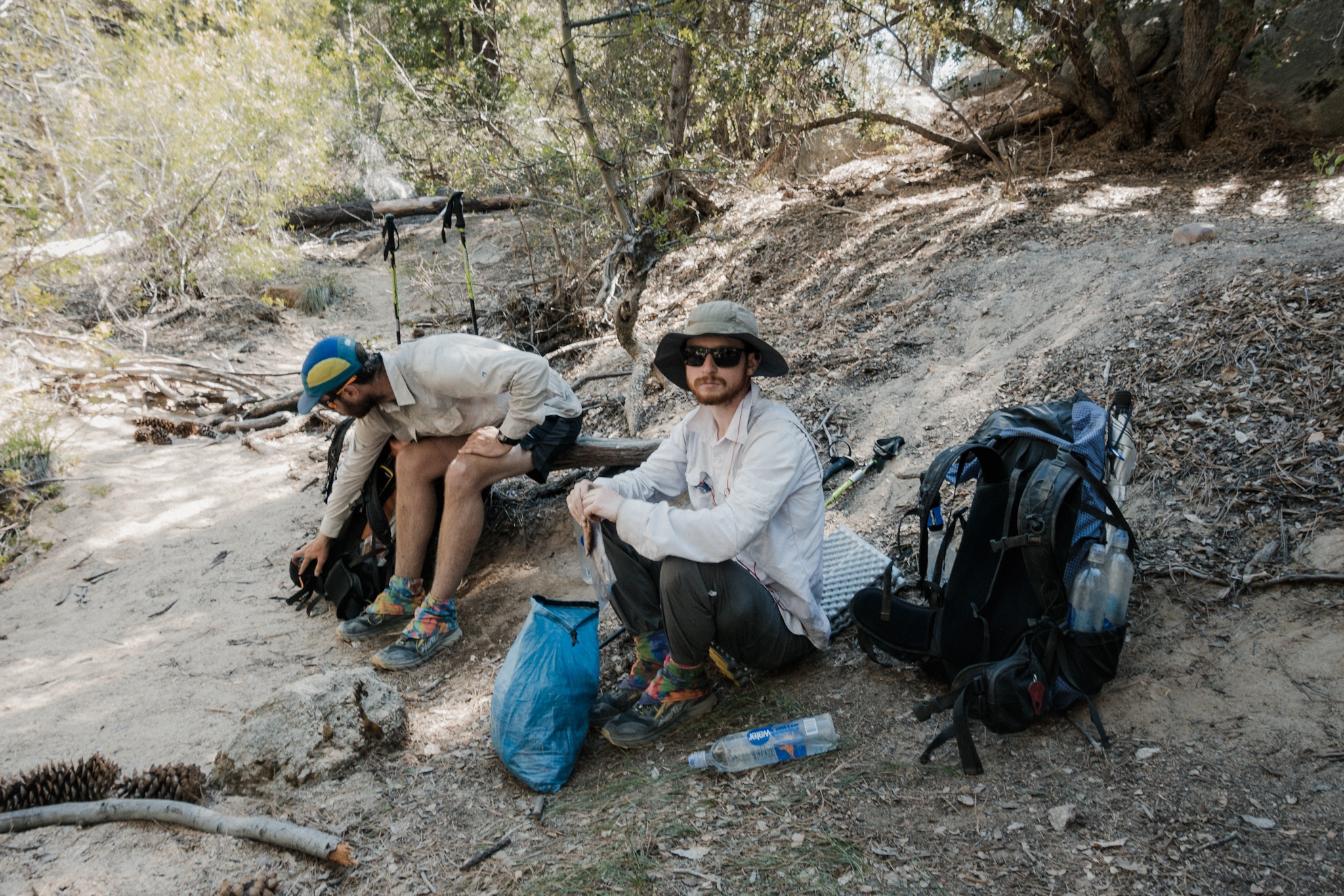
Everyone enjoying the views.
We all just sat and walked around the summit marveling the unbelievable beauty opening to every direction. We could see the city of Los Angeles covered in a thick ocean of clouds, the highest mountain tops around us painted with the soft morning light, and the shadow of the Baden-Powell being drawn far below us in the distance. That was quite a way to eat breakfast.

Sun rising on top of Mt. Baden-Powell.
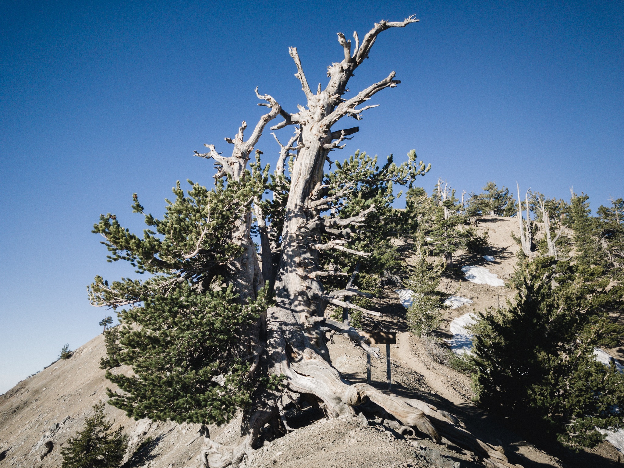
We were in no hurry to leave but as the sun rose higher, everyone slowly started to head down and get back on the trail. The PCT goes only few hundred feet from the summit. On the way down we passed the famous, over 1,500 year old tree. I didn't see it yesterday as I passed it in the darkness.

Pig Ben, Kristen, and Laurel eating breakfast.
Our next goal was getting to the next water source. Later in the day Blis's father was rumored to be giving us trail magic along the highway we’re crossing.
The over 1,500 year old tree.
Sunshine was still in her sleeping bag and looked like she was not going anywhere soon. Blü had already left as far as I could tell. Everyone was just doing their own thing, it was funny.

Clouds over LA.
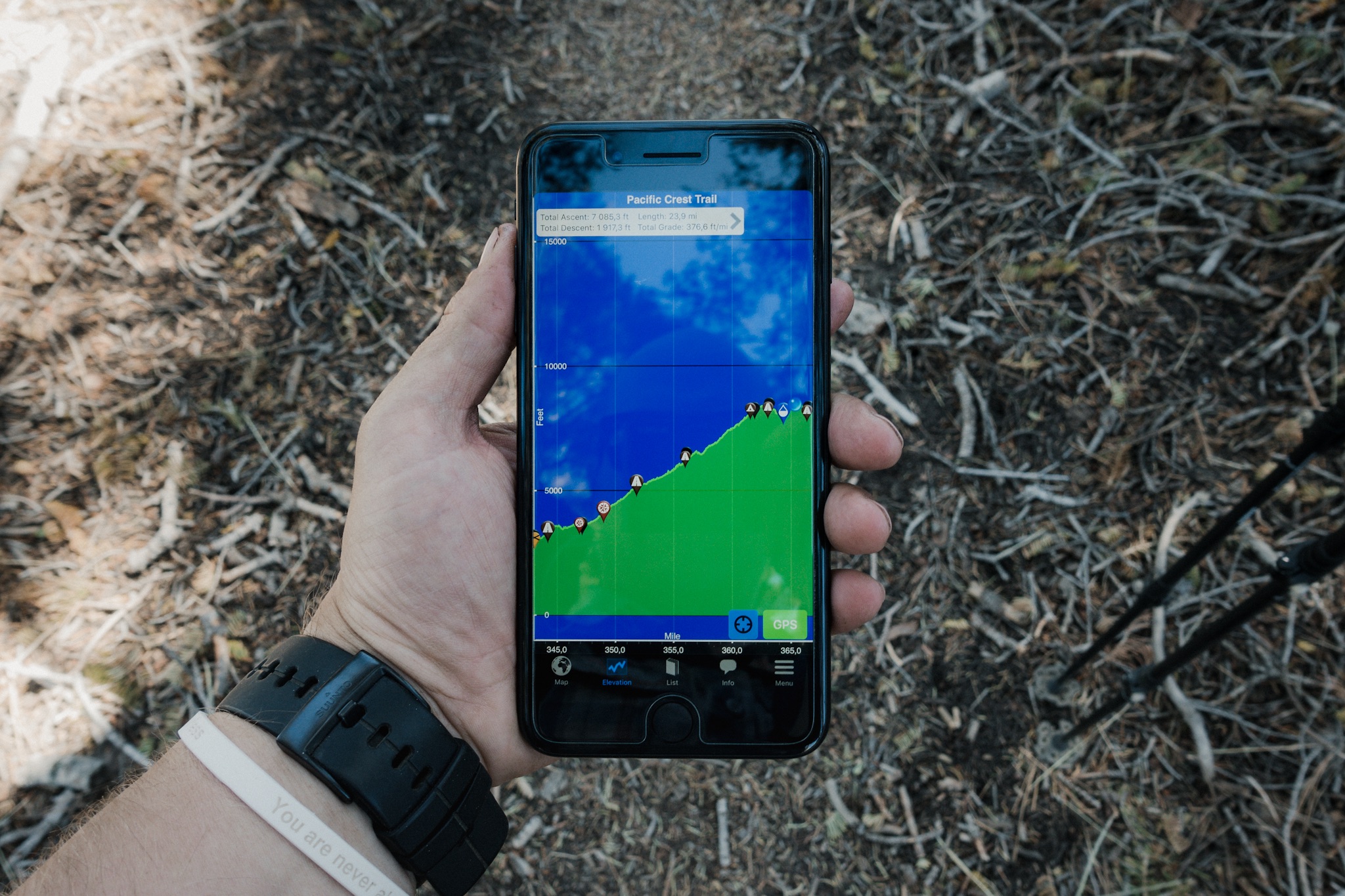
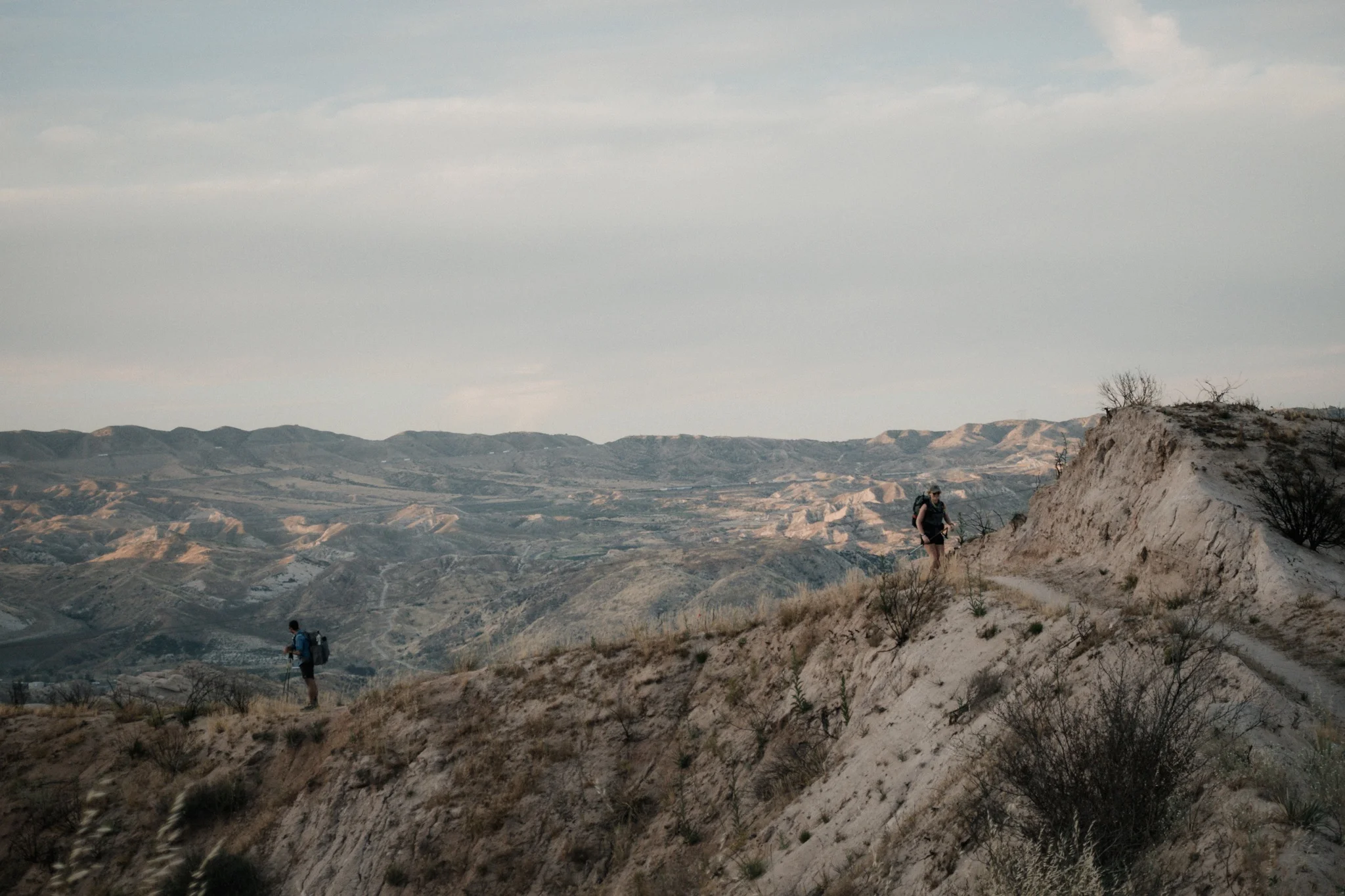
I left the summit with Sam and Trevor but as I was feeling all energetic, I passed them and kept running down the mountain. I had forgotten to look at the elevation profile for the day. So when I hit a large uphill, I was quite surprised. We climbed another, a bit lower peak, but it wasn't that bad.
On the way up I met Morgan and Kristen. They were going fast, and the elevation was affecting my ability to breath properly, so I stayed behind them. It was fun hiking with new people. We've met at many stops and camps during the past few weeks, but never hiked together. So that meant new interesting conversation topics.

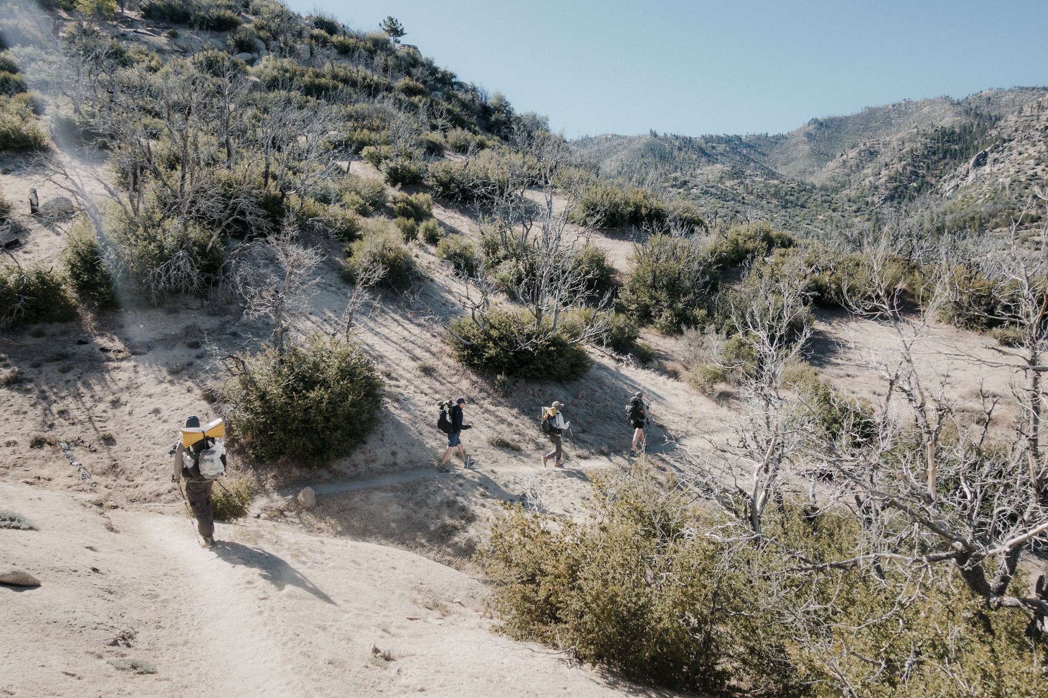
Hiking down.
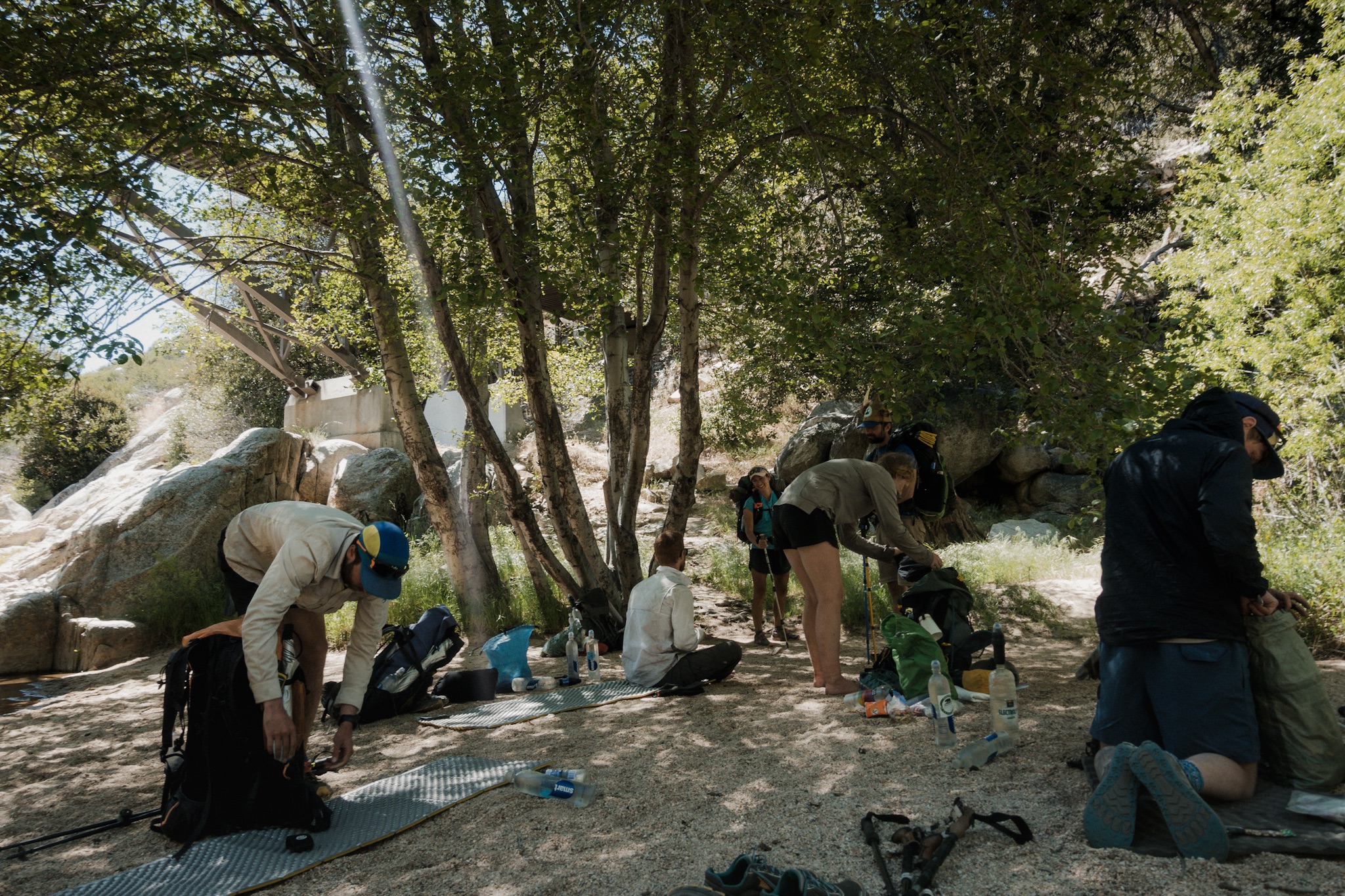
We soon caught up to Wilder and the rest of the group and made our way to the water. It was a spring on the side of the mountain. Blü was already there and we talked about the strategy for today.
I had completely missed that we would be hitting the endangered species closure today. Part of the trail is closed due to endangered frogs that live on the trail. There are few workarounds, but the most common is a couple mile road walk around the closure.

Endangered Species Trail Closure.
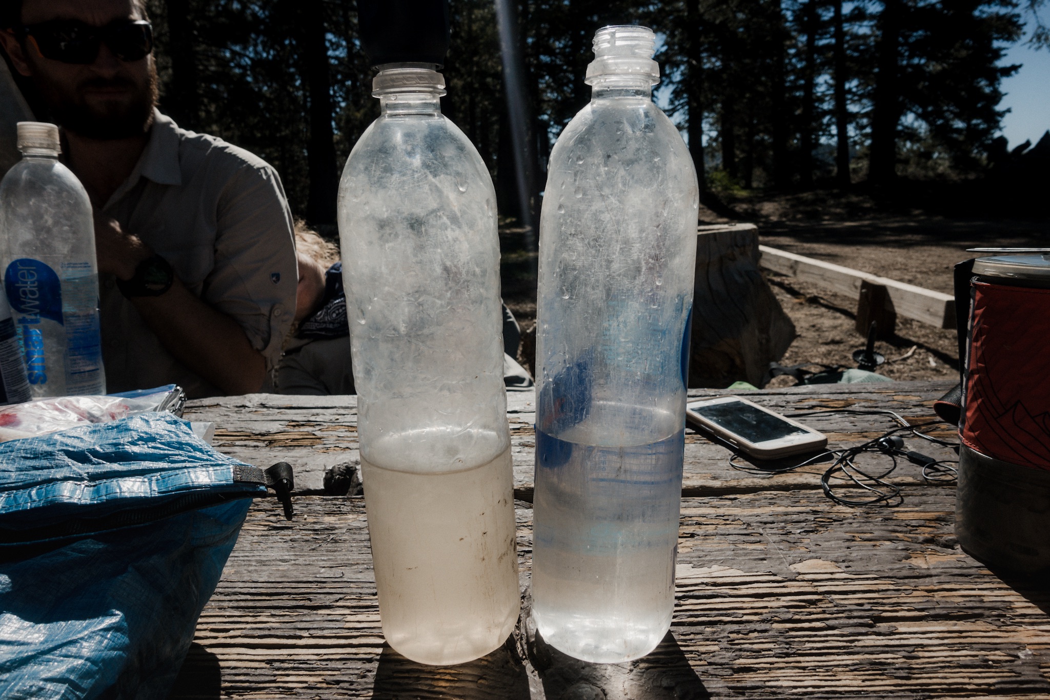
The next water source was a bit iffy due to the closure but we filtered two liters and would just make it work somehow. It was going to be a hot day.
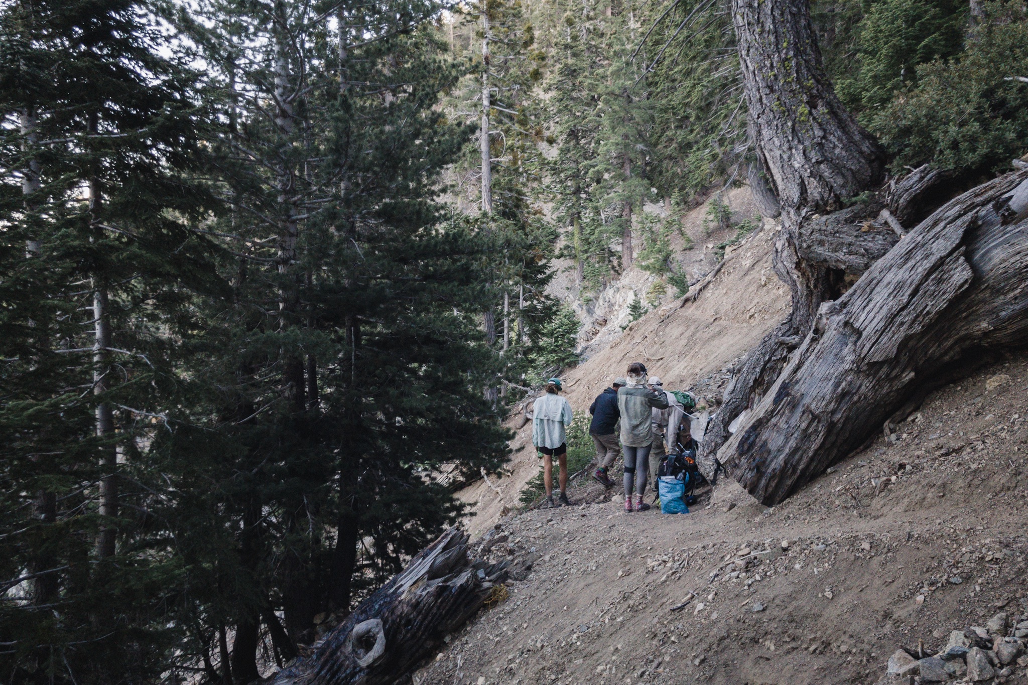
Everyone got on the trail at different times and I was soon walking solo down the mountain. My legs started to hurt from the climb yesterday and I really didn't feel like hiking today. I turned the music louder in my headphones and hoped that would make the miles go faster. It didn't help. The rocky trail and the continues downhill made my feet hurt more and more. Soon I was going about half the speed I usually do. Frustration started to kick in.
I finally made it down the mountain to a rest stop on the highway 2 where few other hikers were having an early lunch. I still had 3 miles to go before the spot where Blis's fathers trail magic would be, but it was too early, so I sat down and made a bagel for myself.

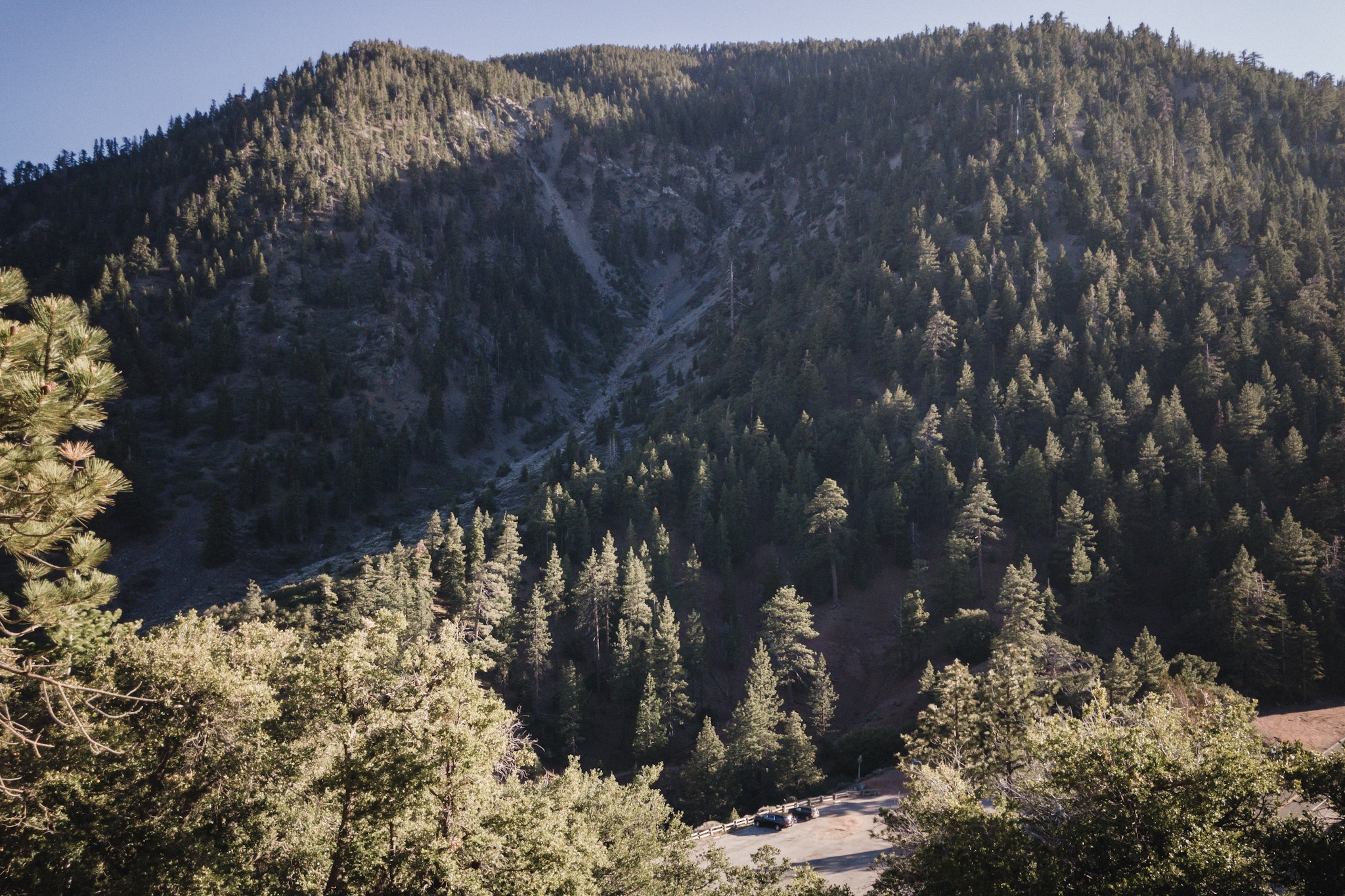
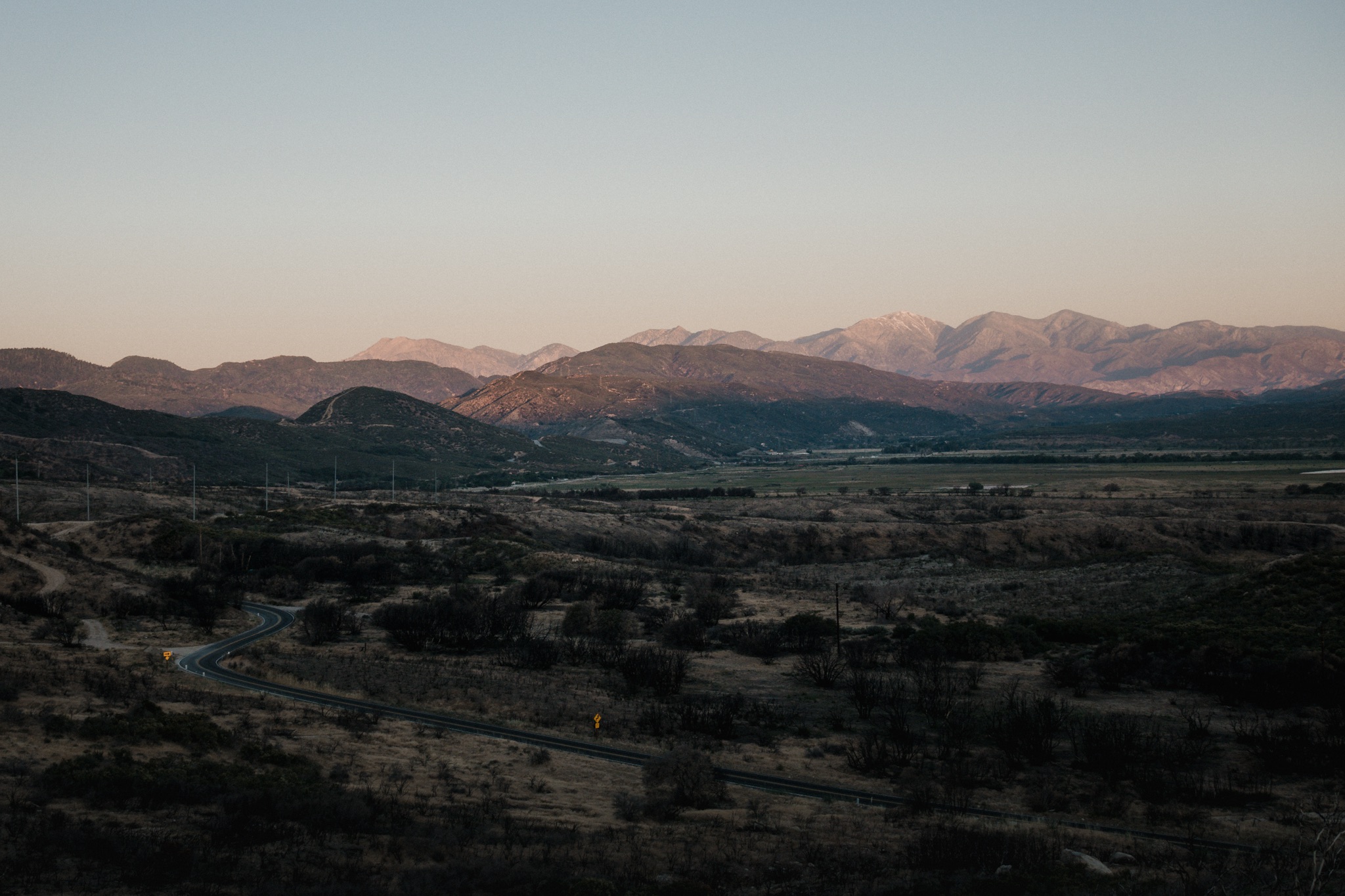
Highway 2 in the distance.
I ate as slowly as I could as I didn't feel like getting back on the trail. Soon Sam and Trevor got down too and made a quick lunch. It was time to move again. As I was begrudgingly putting on my backpack, I see Trevor putting on his earphones and heading down the trail. Only problem was, the trail goes up from here. He was heading down. He was on the wrong trail.
We tried yelling after him but he didn't hear us. And of course there was no connection here so we couldn't call him. We looked at the map and the trail would lead him back on the PCT, after a 21 mile (33.7km) detour. Ugh.

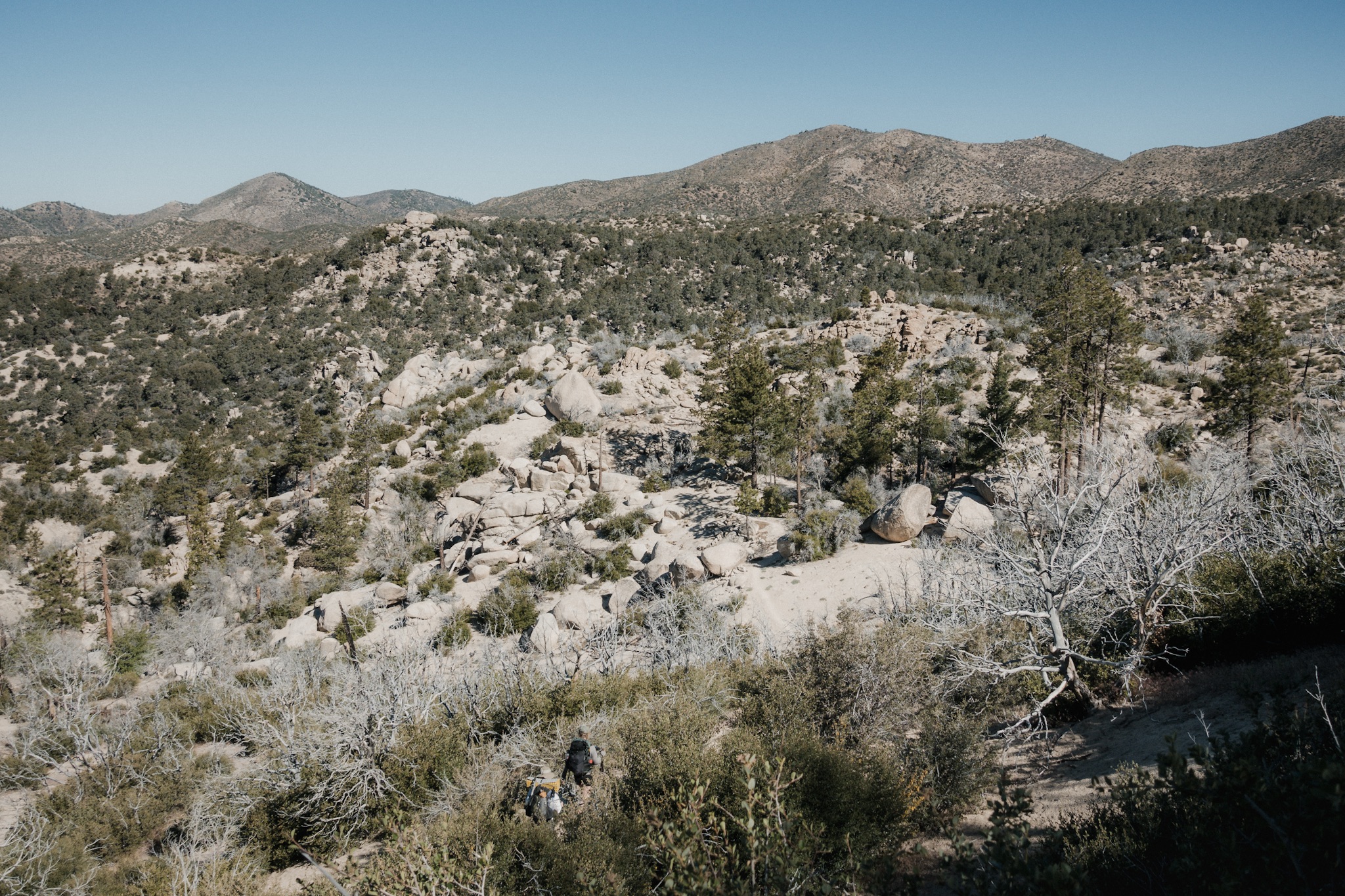
The summit.
Luckily he only made it 0.5 miles down before he noticed he was on a wrong trail. We marked the spot with an arrow so that no other hikers would make the same mistake.
I started hiking up but I just wasn't feeling it. The climb was quite steep and exposed. Some way up I made the mistake of looking at the map and elevation profile. The trail basically goes around a mountain, climbs close to 1300 feet, then drops down the same amount, only to end up at the same elevation we started from. So basically we climb for hour and a half to go down again, only to get to the almost same spot where we started from. I felt super frustrated. The trail made no sense, again.

Cowboy camping on the summit.
I've noticed the same pattern few times before. We do these completely pointless climbs and detours when we could just walk straight from point A to point B. On my way up, I cursed the trail designer.
Once I reached the top I found Blü there. He had the unfortunate luck of having to listen to me bitch and moan about the trail for about 5 minutes. He just kept laughing and pointed out that the PCT is a "national scenic trail", emphasis on the scenic part.

I apologized for my midday meltdown and started to descent down to where we had started. On the way down I realized what he meant. I was still frustrated with the trail doing pointless loops, but I guess I needed to change my attitude a little bit. I'm so used to hiking somewhere with a purpose that this kind of "let's just pointlessly circle around in the wilderness" hiking feels kind of odd. Now I understand why everyone says you have no use for a compass on the PCT, you're never actually going towards the north.
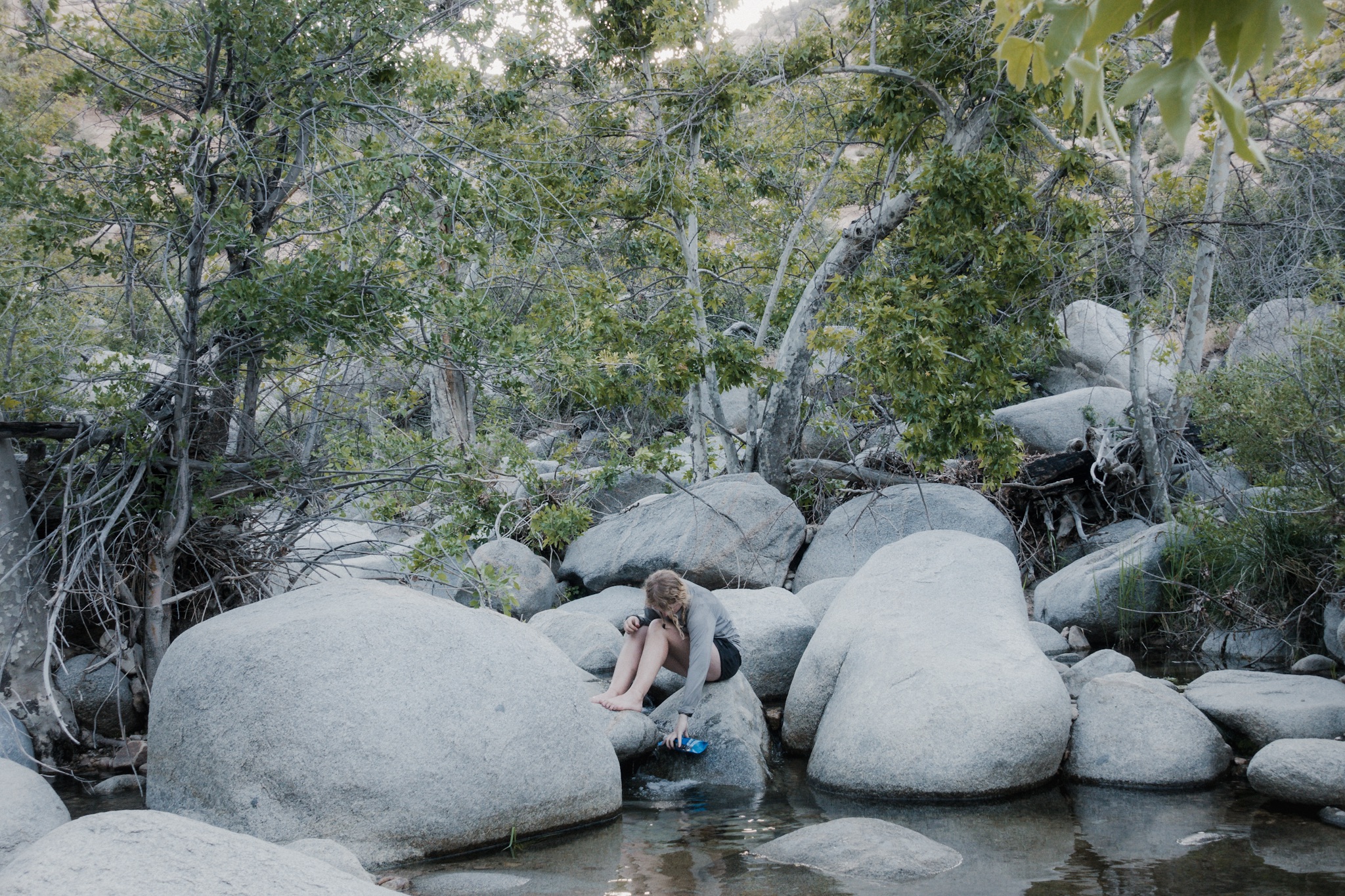
Blü soon catches up to me and we hike down together. There we find others at the rest stop waiting for Blis and his father. We sit in the shade waiting. Blis arrives but his father is late. We start wondering weather he meant the rest stop 0.7 miles down the road. We have no way of contacting him as there's no connection.

Road hiking with Blis and Blü.
We noticed that the next rest stop has a picnic area and it sounds way nicer than the one we're at, so we decide to go there instead. We walk along the highway to get there but no signs of Blis's father. We wait.
It's starting to get late. At one point we hear back from Fyre. She's off trail and in LA. She's resting her ankle as it has been hurting and she's meeting us in few days in Aqua Dulce. It's great that she's getting her ankle some rest but at the same time we didn't get to say bye to her, and it feels like we lost a member of our trail family. Even if for a short while.
As there's no sign of Blis's father, we decide to send Sunshine back up the highway to check the previous rest stops to see if he's there. She gets on the road and catches a ride instantly. We keep waiting.

The wrong rest stop.
After 20 minutes we see a car approaching and it's Sunshine, with Blis's father. We had ended up on a wrong rest stop and he had setup everything on the rest stop before the pointless climb.
We stuff about 15 hikers to his car in two separate rides and get to the correct rest stop. There we have quite a feast waiting for us. Blis's mom and dad had made a huge pot of chili, cornbread, watermelon, and a cooler full of beer. Blis's sister was there to help also.

The right rest stop.
We eat our stomachs full and enjoy the ice cold beer. What a setup. They had driven two hours from LA just to meet and feed us. Thank you so much for everything!
As it's getting time to leave, Blis tells us he's leaving with his father to LA as his ankle is also busted. We understand but it's really a shame, we're going to miss him so much. And loosing two members of our trail family on the same day, not fun.

The family Blis.
We all wish him well and hope to see him in Aqua Dulce as we arrive there in few days. Hopefully Fyre is also there by then.
Blis's father drives us back to the spot where we were before and we thank him so much for all that he has done. While other hikers climb back up to the PCT, me and Blü decide to do a little sneaky move. Here the PCT follows the highway but pointlessly goes up and down on rocky mountains. It doesn't make much sense. By looking at the map we see that by hiking along the highway we can skip most of this pointless zigzagging and join the PCT little way down.
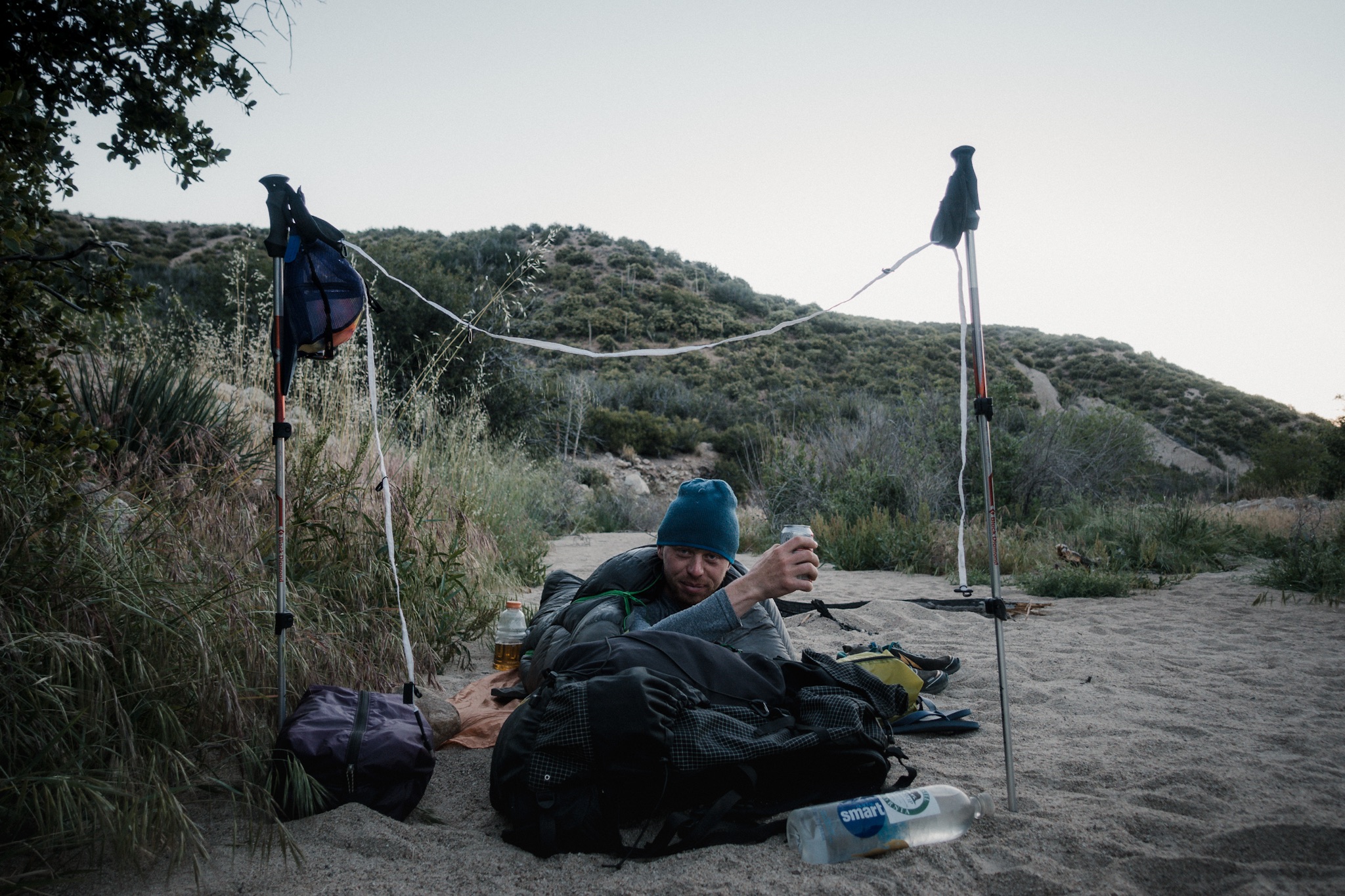
I don't need to hike every mile of the PCT, I just want to have a continues footpath from Mexico to Canada. And my legs hurt and I'm tired. The road walk is easy and we soon join back on the PCT and start going down. We find a nice spot next to the trail where to camp for the night.

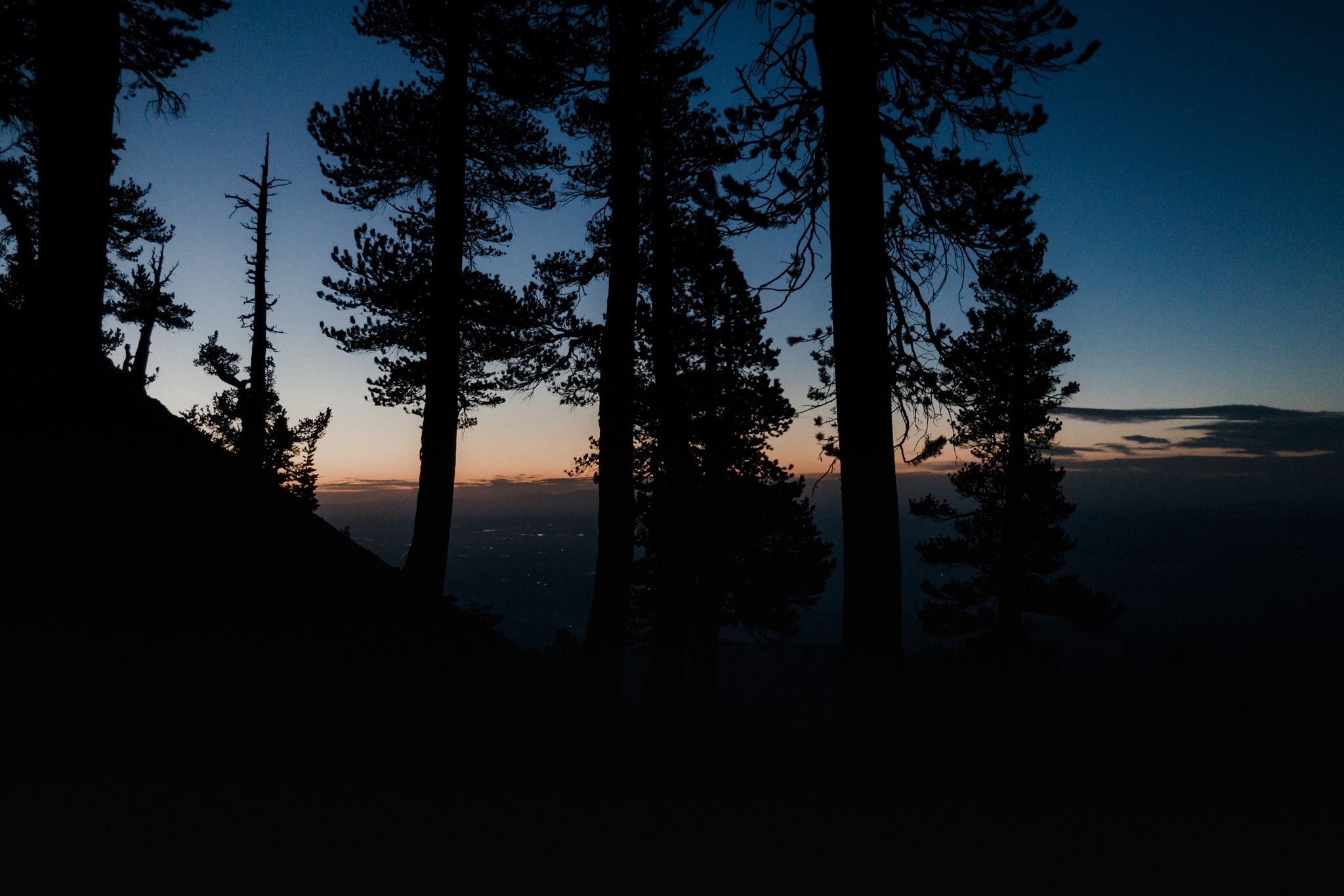
My view when going to bed.
Just as I get my cowboy camp all setup I notice I'm on top of an anthill so, as Blü keeps laughing, I move my camp.
I can't wait to get to Aqua Dulce and Hiker Heaven and take two or three zeros. I really need the rest and my feet need to recover. Sierra will wait. Also I need to get my camera fixed.
Tomorrow we'll cross the 400 mile marker.
Sponsored by:
![]()