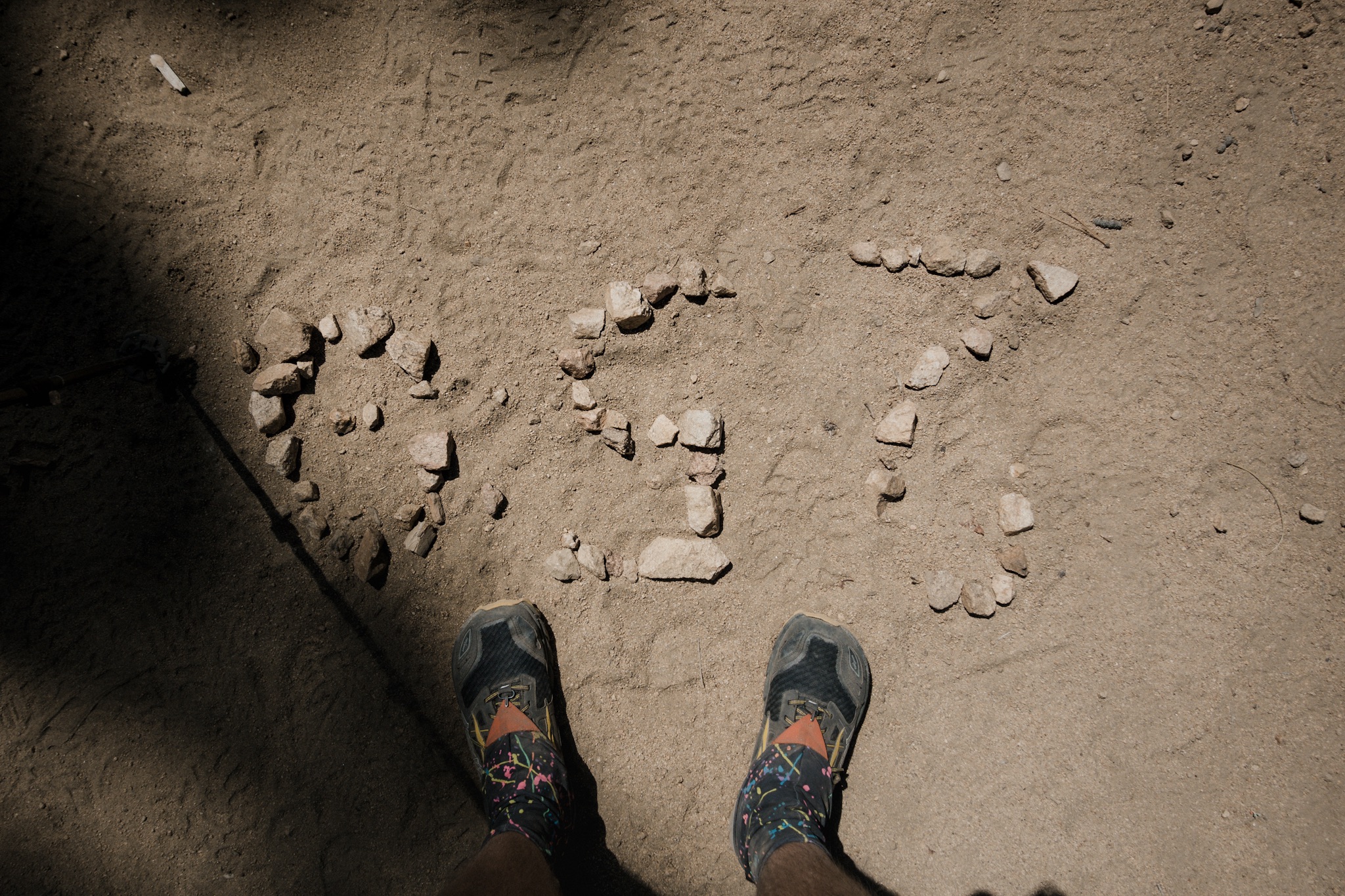
Day 19: Easy miles out of Big Bear

Date: May 18, 2017
Miles: 19.7 miles (31.7km), from Highway 18 to mile 285.9.
Health: After two days of rest I'm feeling great. Legs are strong and knees feel good enough.
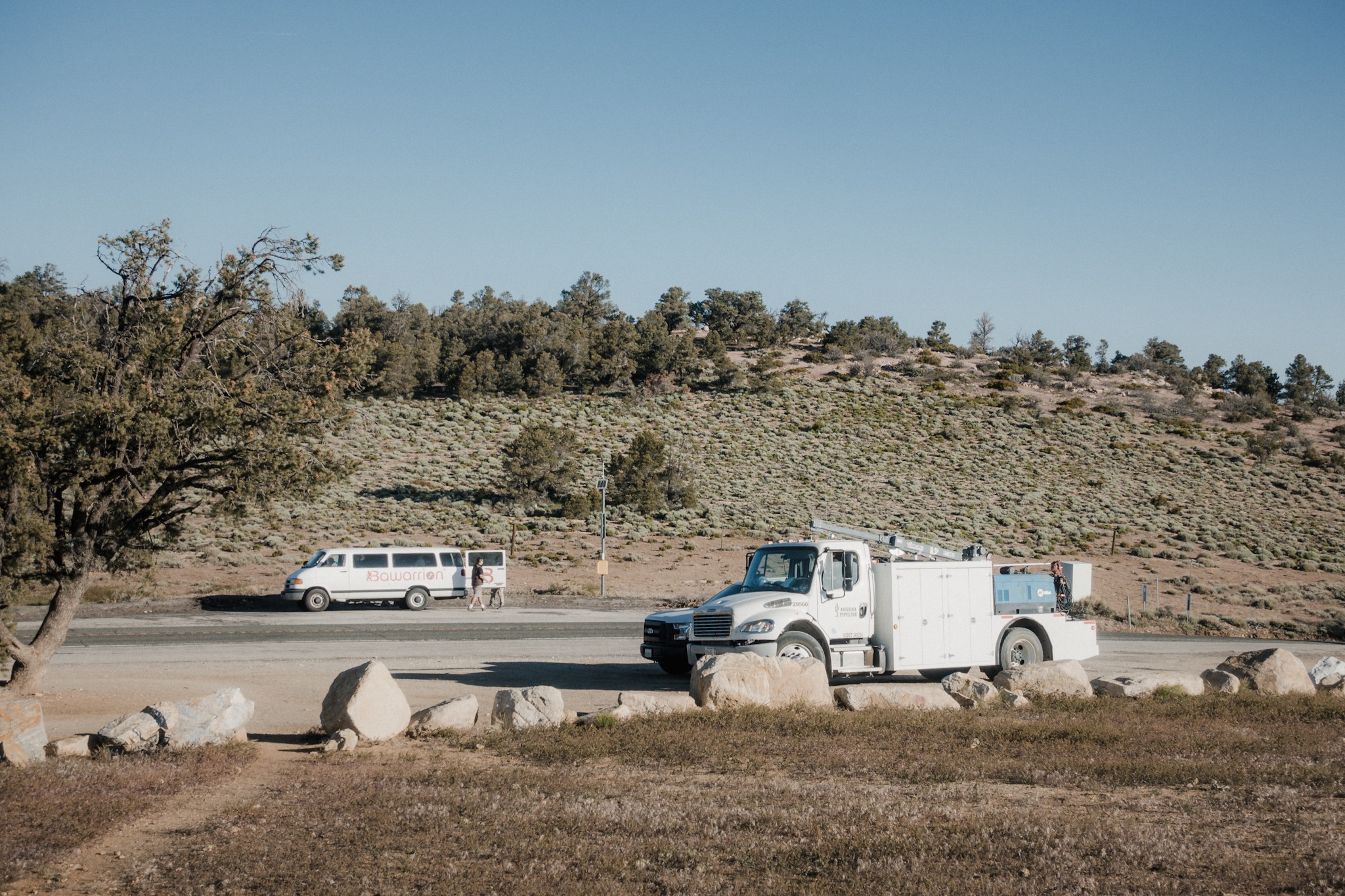
We had reserved a pickup from the Hiker Hostel at 7:30am. The weather wasn't going to be hot so we had no need to get on the trail super early.
This next section is going to be an interesting one. We've resupplied food for five days, enough to get us to Wrightwood, our next resupply town. The distance there is little bit over 100 miles (161km). On the way there, there are hot springs that we stop at to swim at around day three, and the famous McDonald's that's right on the trail.

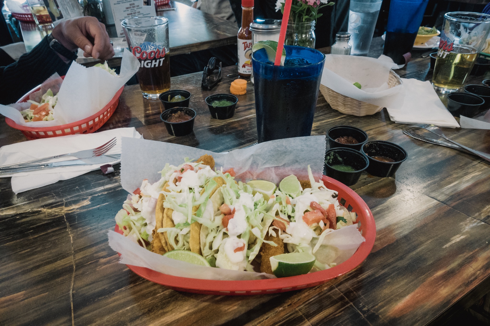
Leaving the Hiker Hostel.
As I have food for five days, but I'll probably stay an extra day at the hot springs, it means I'm one days short on food. My plan is to get to the McDonald's by the time I run out of food and eat myself full there. And then buy my backpack full of cheeseburgers to fuel the last 25 miles (40.2km) to Wrightwood.

Getting back on the trail.
With our backpacks heavy from all the food, me, Blis (Theo), Fyre (Alex), Justine, Queso Grande, and few other hikers got to the trailhead. After two days in town we all felt quite non-thru-hiker like. We found it hard to get back dirty, being still way too comfortable from all the wonders of modern civilization.
Slowly we started hiking on but the usual energy was definitely missing. We kept joking how spoiled we had become during just two days.

Looking back at Big Bear Lake.
As we wanted to keep our pack weights down, none of us were carrying much water. The next water source was just few miles down the trail. After we got to the water source, we all removed our packs and sat down. We soon realized that we had been sitting there for way too long, doing nothing. Lazy thru-hikers.
We soon forced ourselves up and moving again. Me and Justine headed out first and thought others would be right on our heels. Little way upwards Justine's phone rings, it's Blis. Apparently Fyre (Alex) had fallen forward right where we had just been. It's not bad and she can continue but they are coming a bit later. As there's nothing we can do, we continue forward.
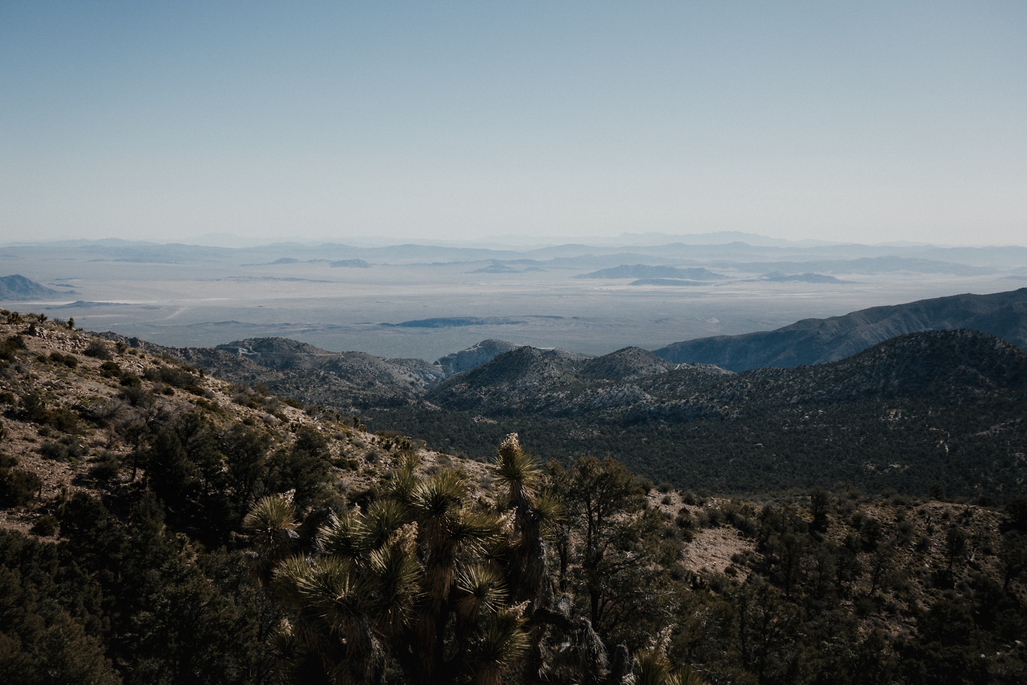
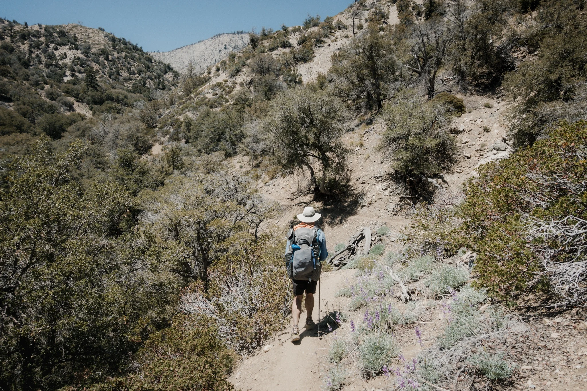
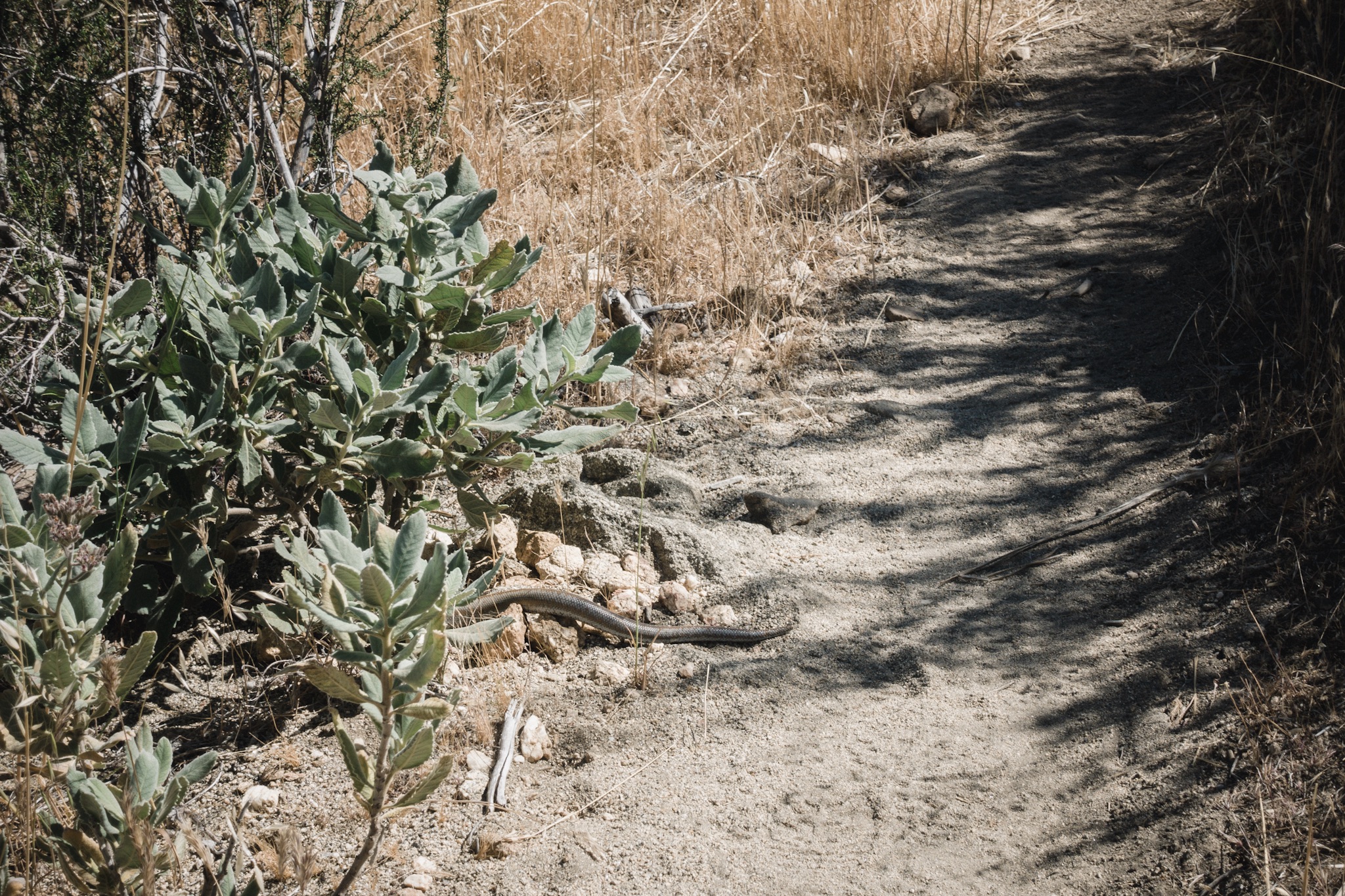
Views at the desert.
The trail is almost too well graded and we soon find our hiking rhythm. We don't talk much, I just concentrate on my feet to get my shuffle going again. Thru-hiking requires a different kind of a step and I always find it a bit difficult to get back to the groove if I haven't been doing it for a while.

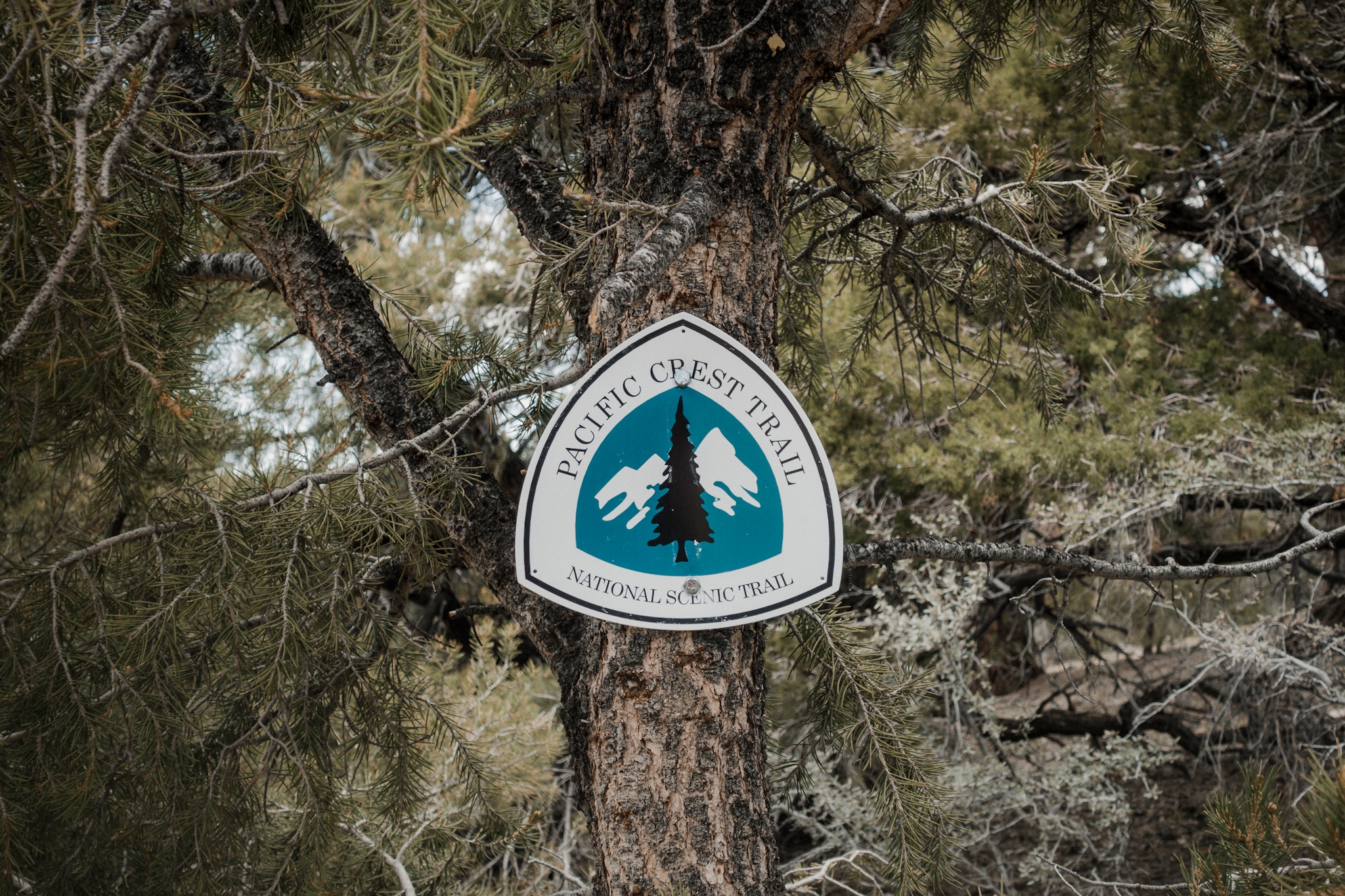
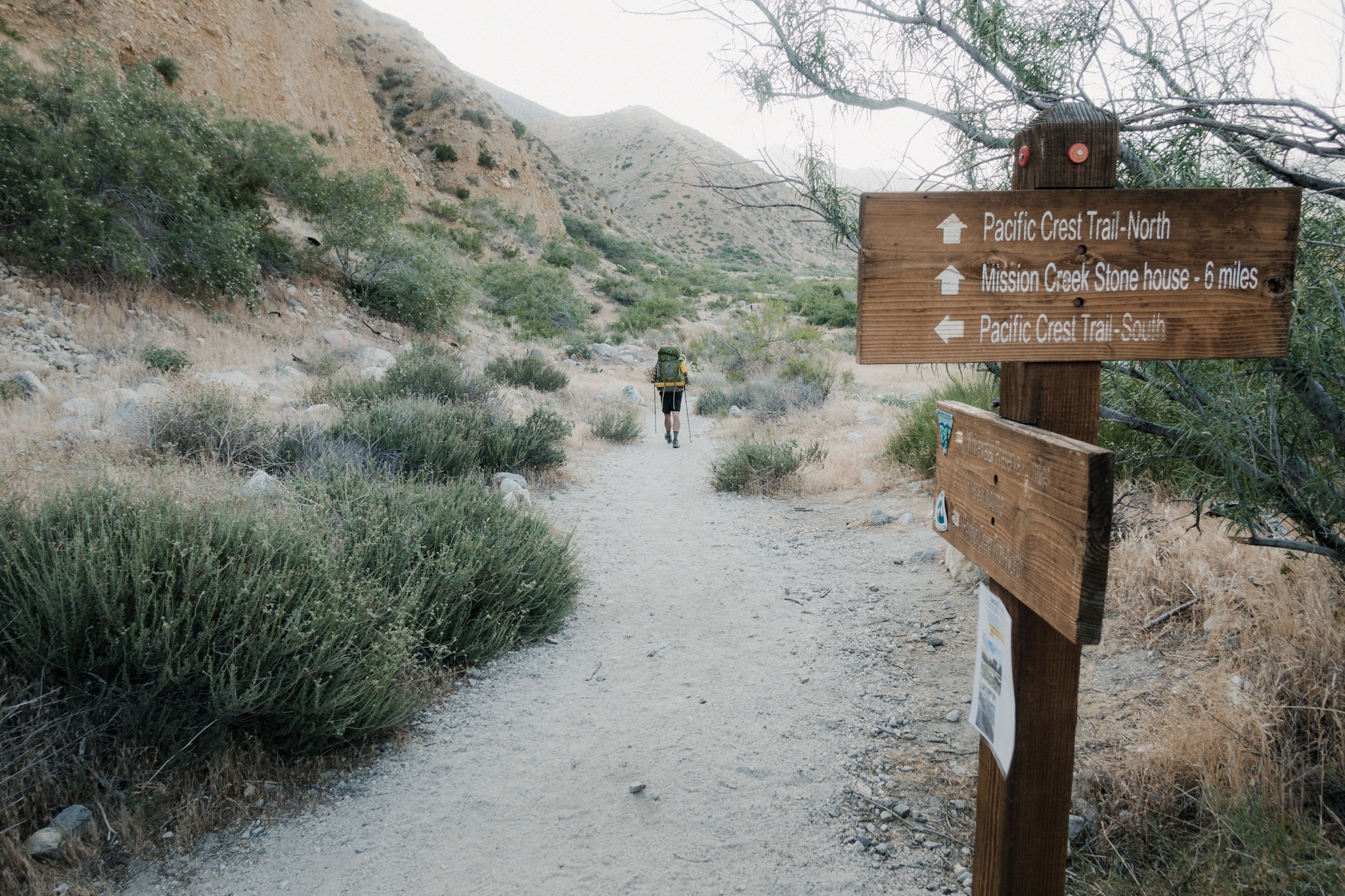
Trail signs.
The quiet soon ends and we get into this epic discussion where we go from the musical differences of Metallica and Iron Maiden, to mid century torture devices, to native Americans and colonization of America, to lost empires, to population over growth, to the lost libraries of Alexandria, to Pol Pot, to Second World War, to Germany, to October Fest, and then we are interrupted by arriving to the next water source. How did we do 9 miles already?

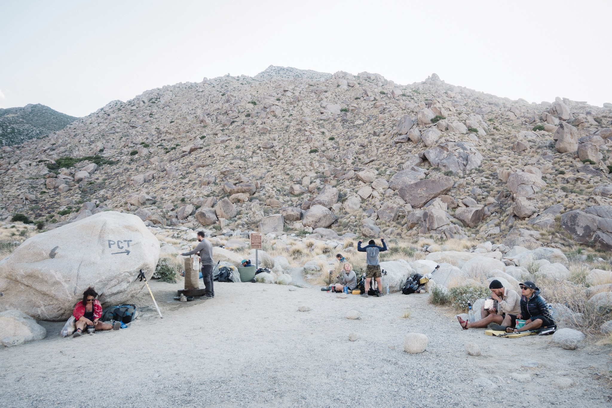
Horse trouth. Or thru-hiker water source.
The trail is super easy and fast. At the water source we find Dragon (Pin) and Andrew. They left Big Bear yesterday. Soon everyone else it at the water source, laying in the sun, except Fyre. We start to get worried. We meet one fast hiker who left way later than us and therefore should have passed Fyre on the trail. He says he didn't pass by anyone matching Fyre's description. We get even more worried. Just as we are planning on going back after her, we see her getting to the water source.

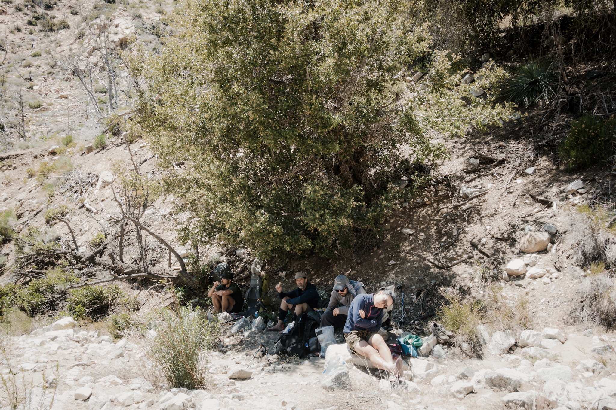
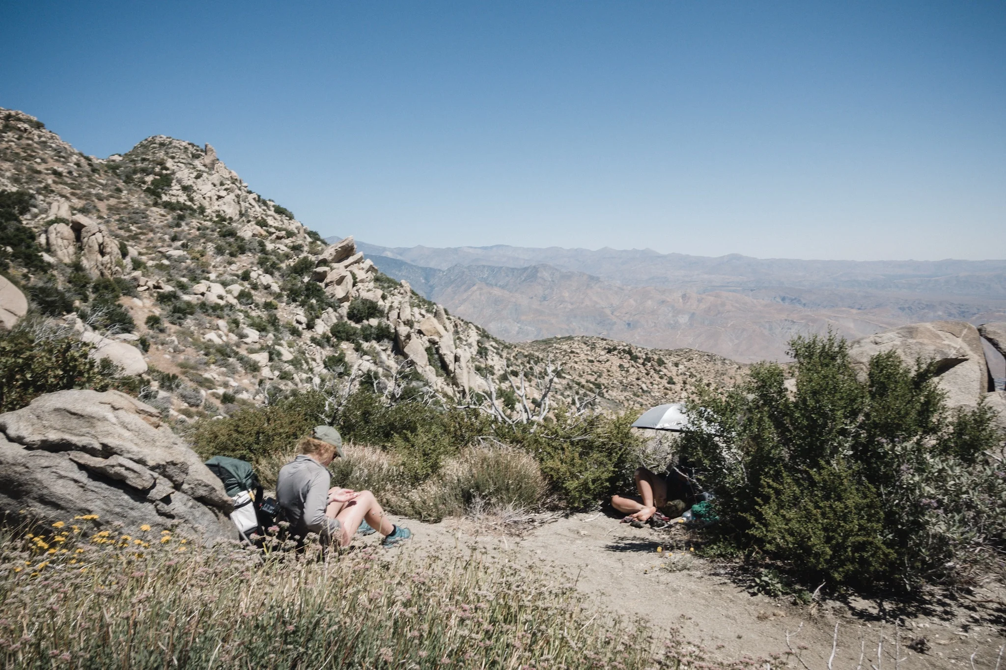
Lunch at not the most beautiful section of the trail.
Fyre's moving slow today. Her knees and ankle are still bothering her, and the fall earlier didn't help. It feels so bad seeing someone having a bad day.
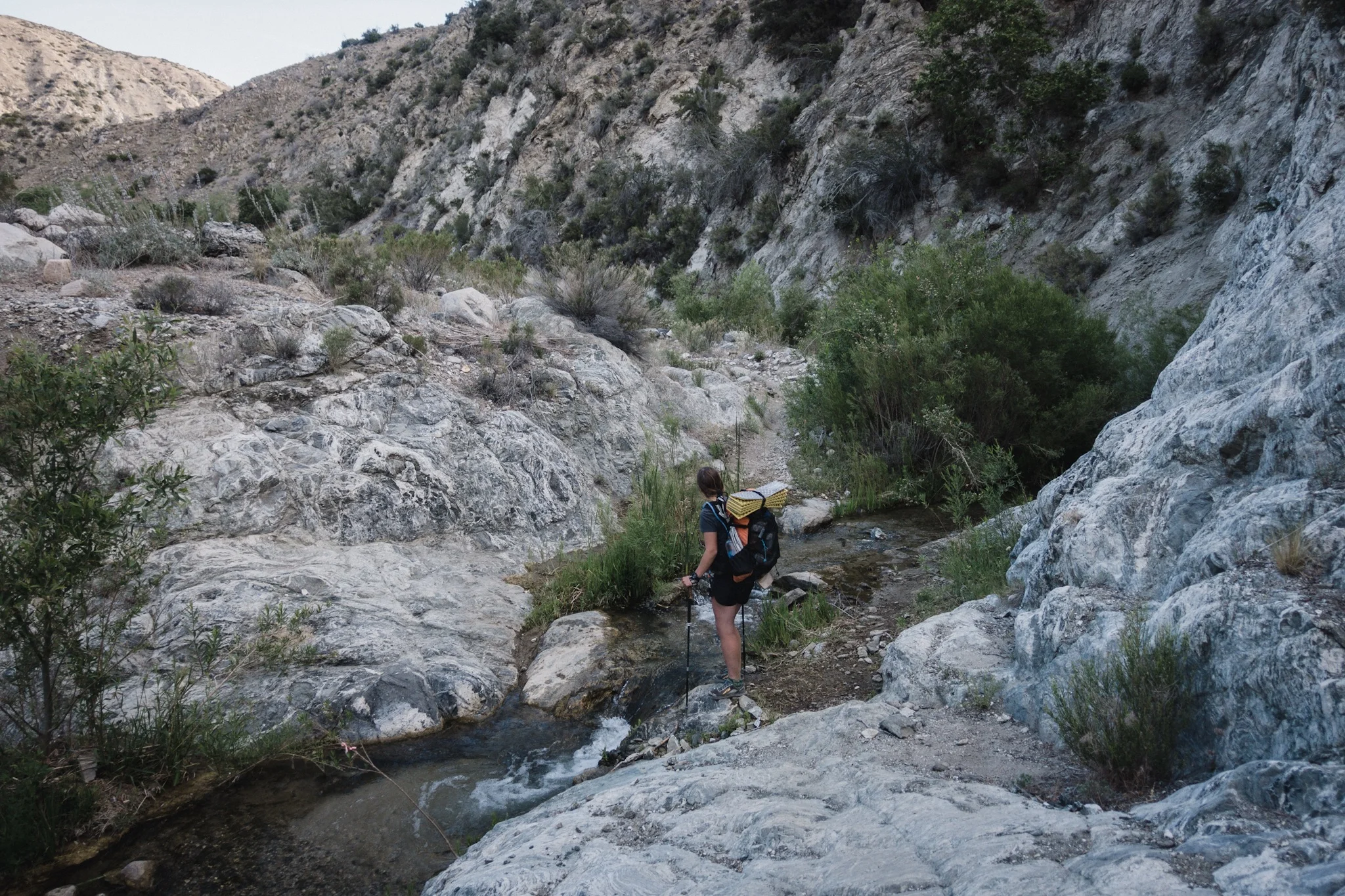
We sit in the sun for hours eating and drinking water. This doesn't feel like thru-hiking. After a while we force our lazy asses up and back on the trail. The next water source is a river 10.7 miles (17.2km) down the trail. I take 1,5 liters of water as it's not that hot and I really don't want to carry any extra weight with my already heavy food carry.

Salami cheddar sriracha tortilla.
Me and Justine leave last as we had to even out our waters as she gave me a bit of her own, but we soon catch the others. Justine stays with Fyre but I want to test out my fresh hiking legs. I set out to the pace of 4 miles per hour and see how that feels. I soon pass more hikers and going at this speed feels good. Can't wait to get my trail legs so I can keep up this pace through out the entire day.
The trail isn't anything beautiful today. It goes through a burn area and everything looks dead and charred. I just focus on my feet and the trail.
Miles go by fast and I soon reach the next water source where Dragon and Andrew are already waiting. We eat and others slowly reach the area as well.

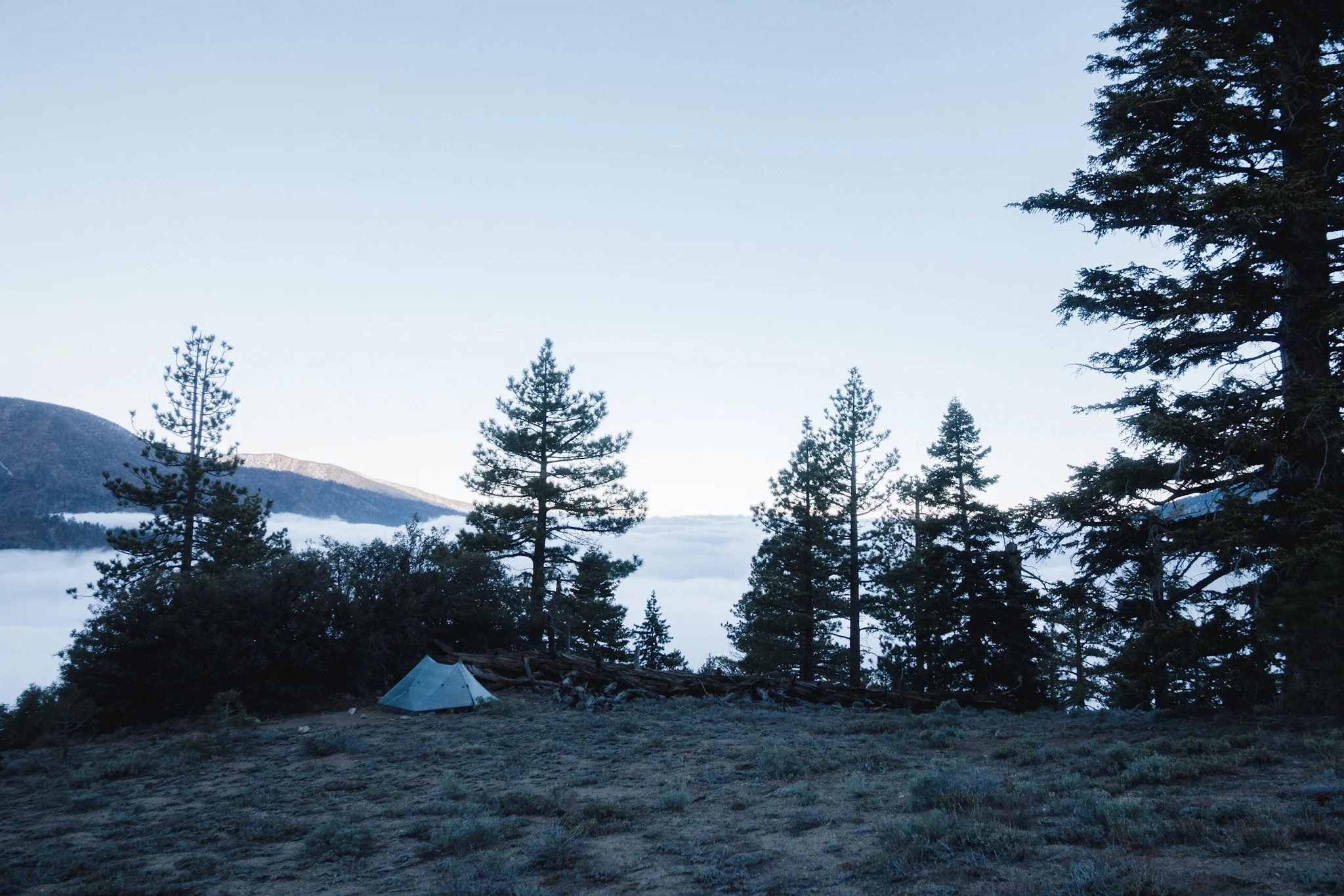
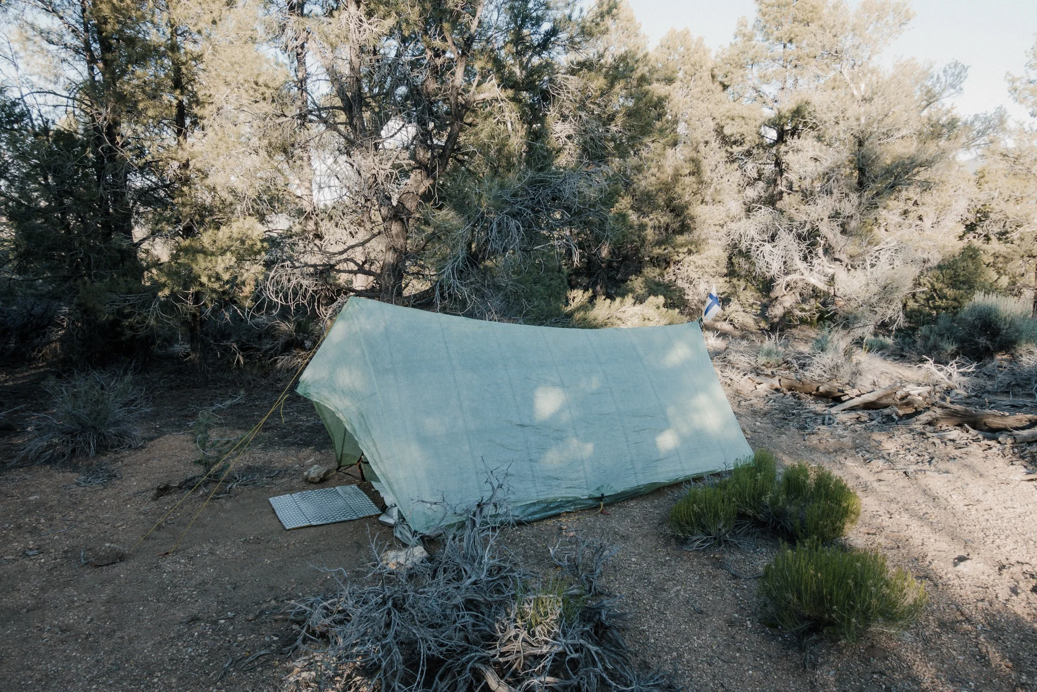
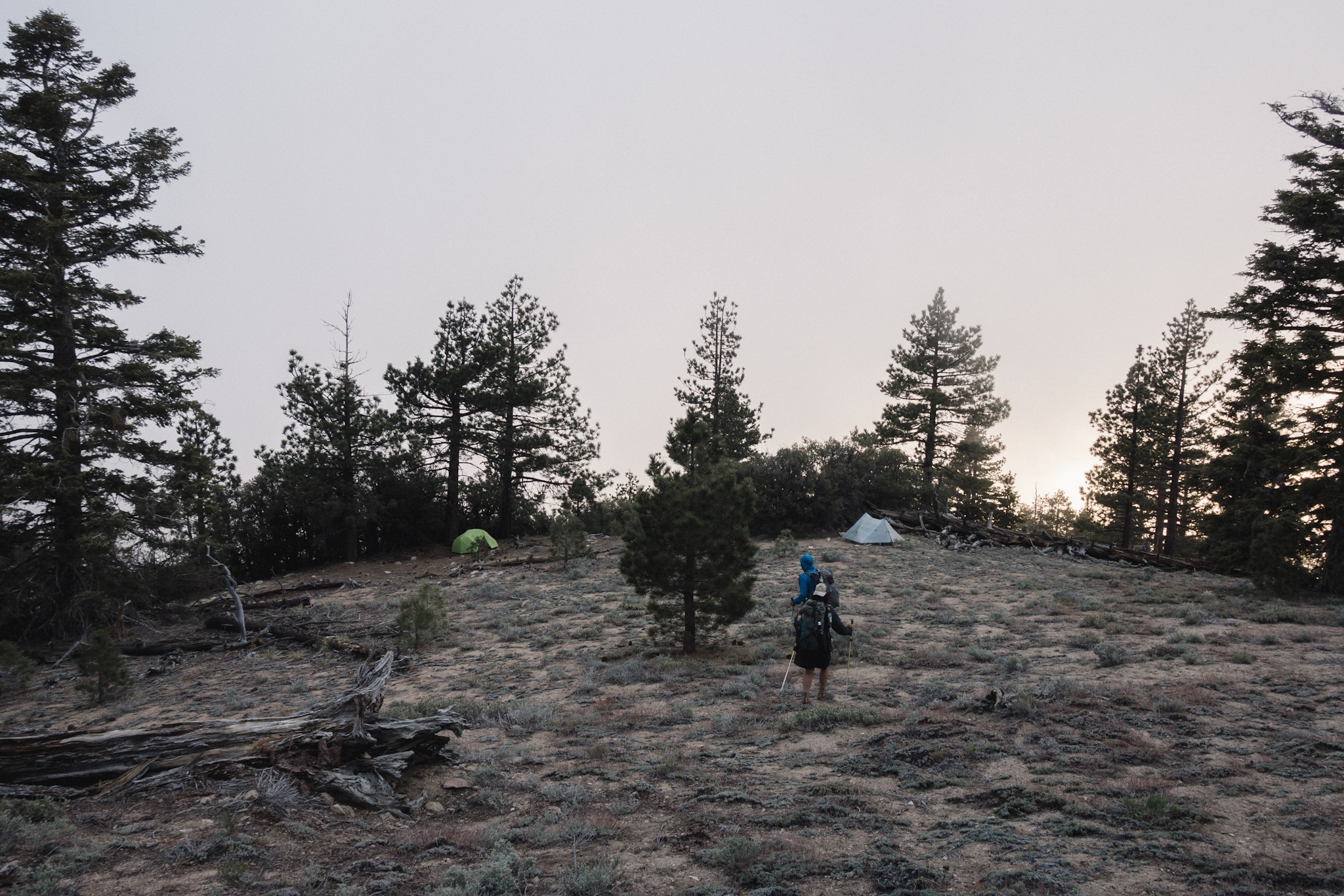
My campsite for the night.
Fyre arrives last and she's clearly not feeling it today. I wish I could cheer her up but also know that when I have a bad day, I like to have some space so I try to give that same space for her.
We move our camp 0.3 miles down to where the stream is and start setting up our tents for the night. Despite the late start and the lazy hiking we got the almost 20 miles done quick.

Setting up for the night.
As we setup our gear, a bunch of other hikers arrive also and soon there's a nice little thru-hiker tent village next to the stream. We all huddle up together and exchange trail stories and chat about the upcoming section, water, and so on, while eating dinner.

Dinner party at hiker village.
As the sun goes down it soon gets too cold and we all withdraw to our shelters to crawl into our warm sleeping bags. We agree not to rush with the waking up as tomorrow is not going to be a hot day and we only have 21 miles to the hot springs. We want to pace ourselves so that we'll be there early the day after tomorrow. But as camping close to the hot springs is prohibited, and enforced with a hefty fine, we want to camp at least a few miles out. That means tomorrow is not going to be a long day.
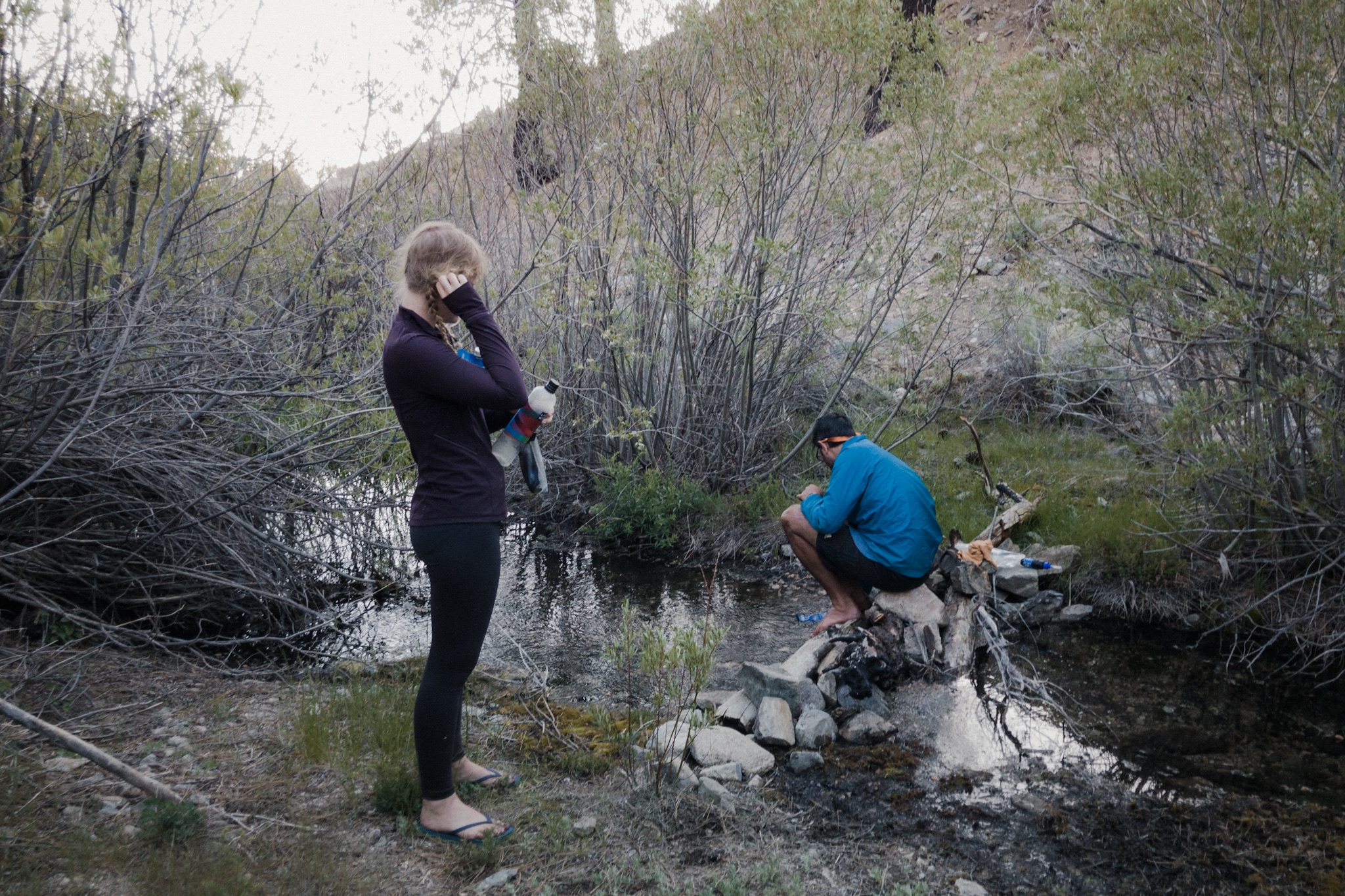
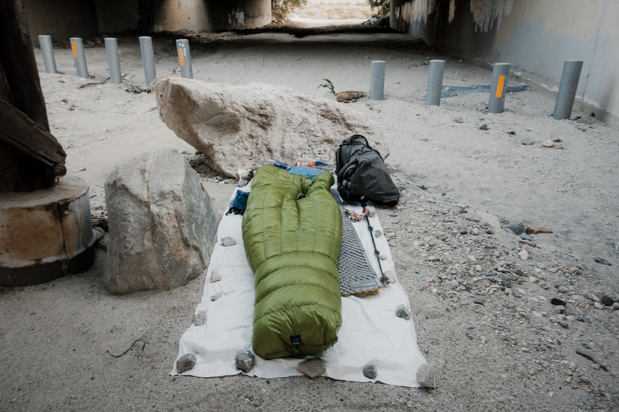
Evening tasks, filtering water from the stream.
Sponsored by:
![]()