Day 12: The summit of San Jacinto
Date: May 11, 2017
Miles: 14 miles (22.5km), from Devils Slide trailhead to mile 187.8.
Health: Blisters are gone, the new shoes are amazing. Legs are toast, the climb up was brutal.
We woke up and I took a quick shower before heading out for our ride to the trailhead. It wasn't a long drive but we got to see the town of Idyllwild again. I wish we would've stayed here for another night. I really want to come back to Idyllwild with more time!

Getting a ride to trailhead.
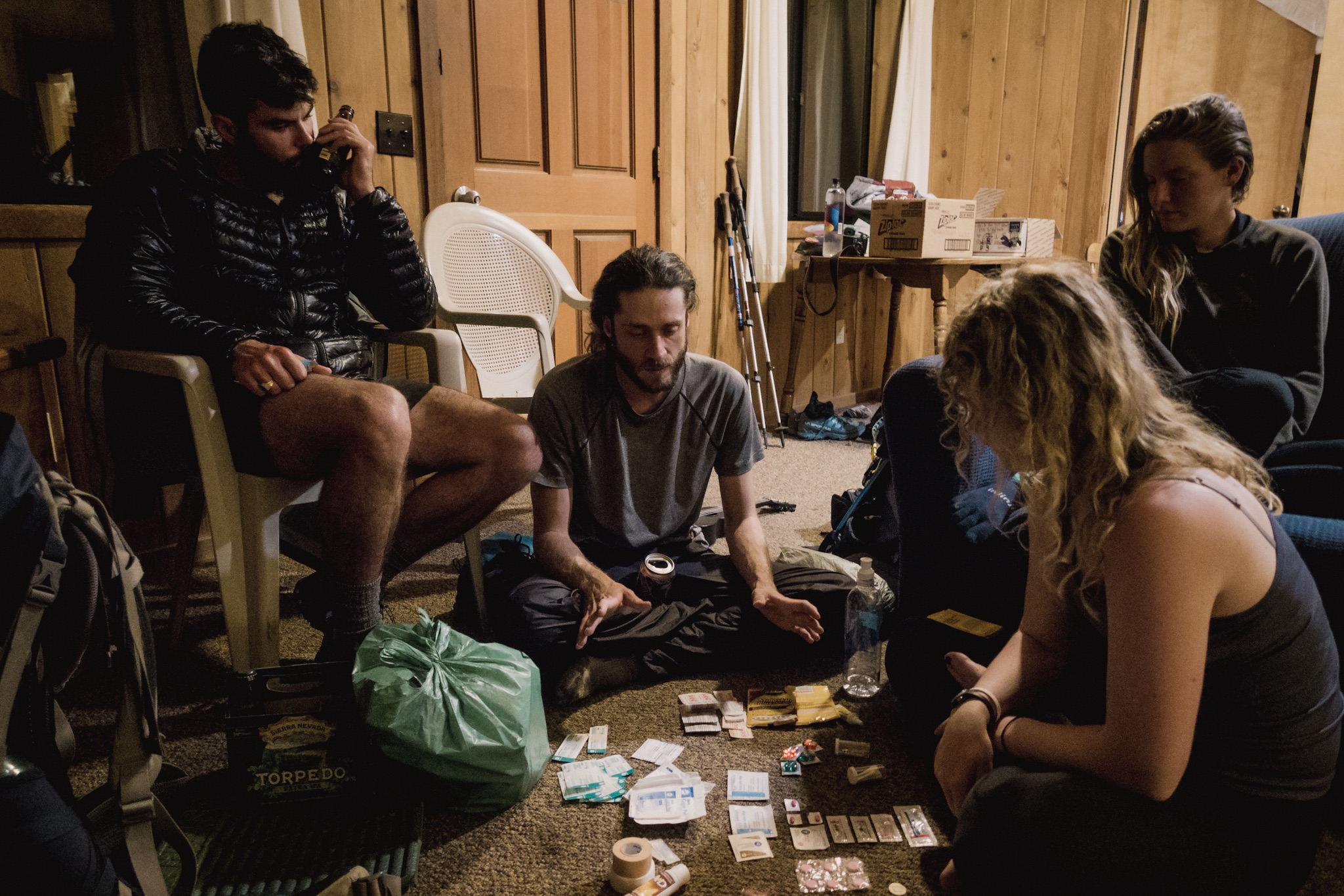
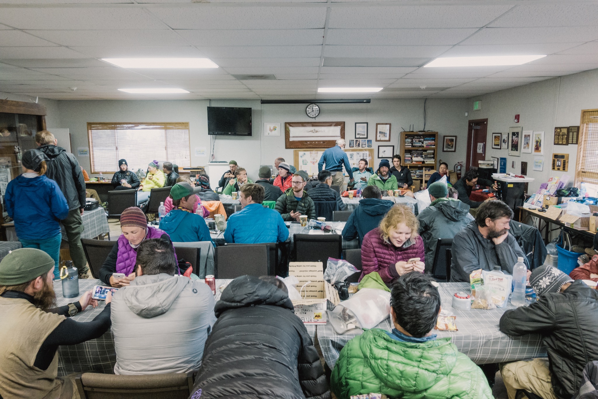
Once at the trailhead we waited for the others and I took the chance to use the toilet facilities one more time before heading out to wilderness for five days. Some had already left but we waited for the second wave and then started our ascent to 10,834 feet (3,293m).

Here we go!
The thin air in this elevation quickly worked its magic on me and I was lacking way behind. Luckily Blü was still reeling from all the red wine last night and kept me company for a while.
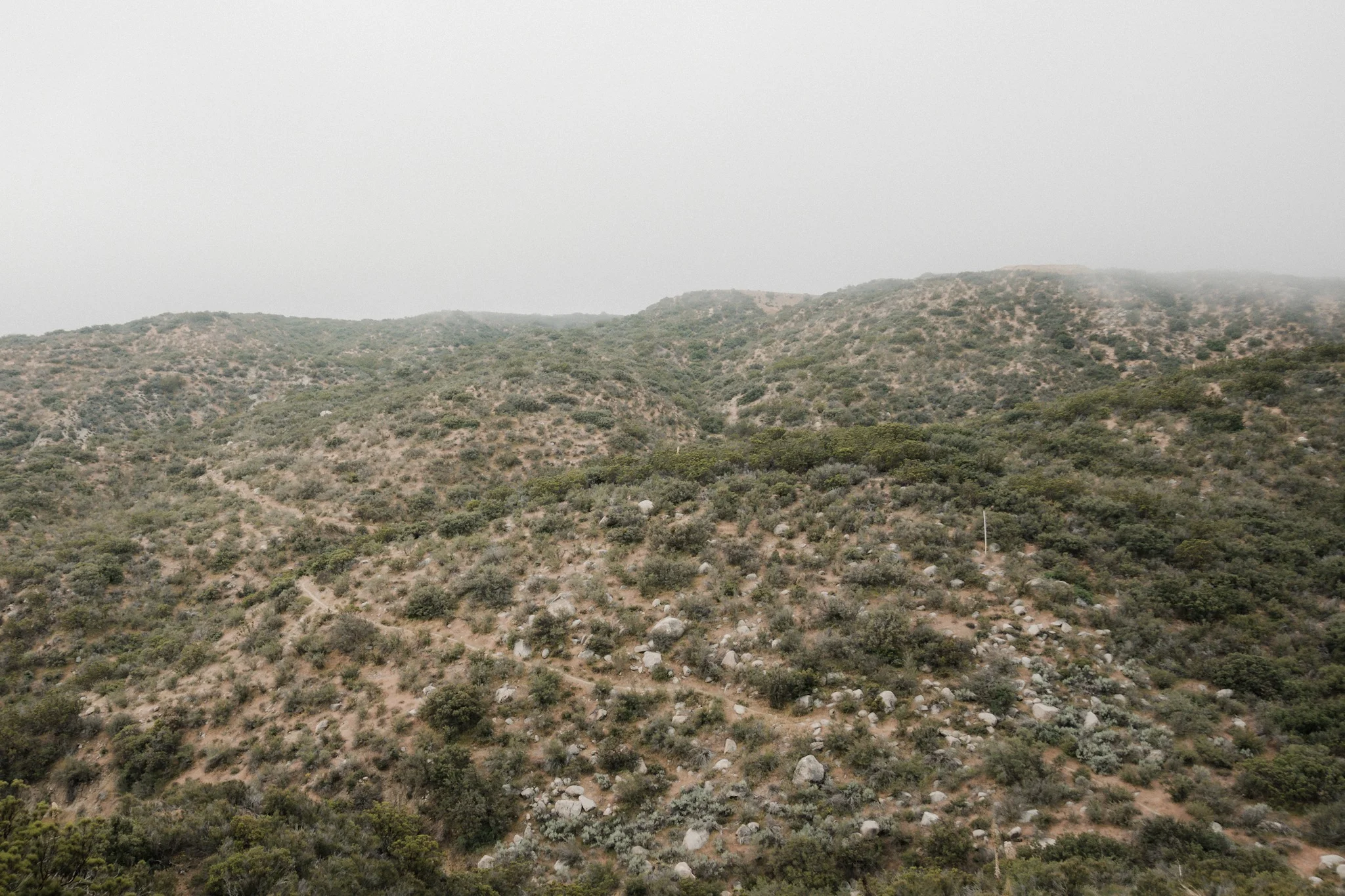
The further we got up, the more beautiful the scenery got. As the sun rose higher it was nice hiking under the shadows of the large pine trees. The small breeze that kept blowing also helped.
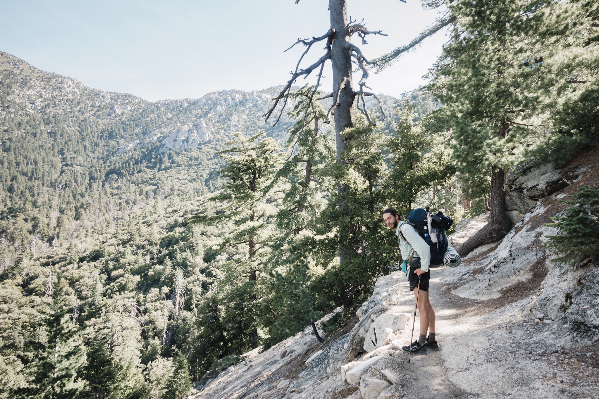
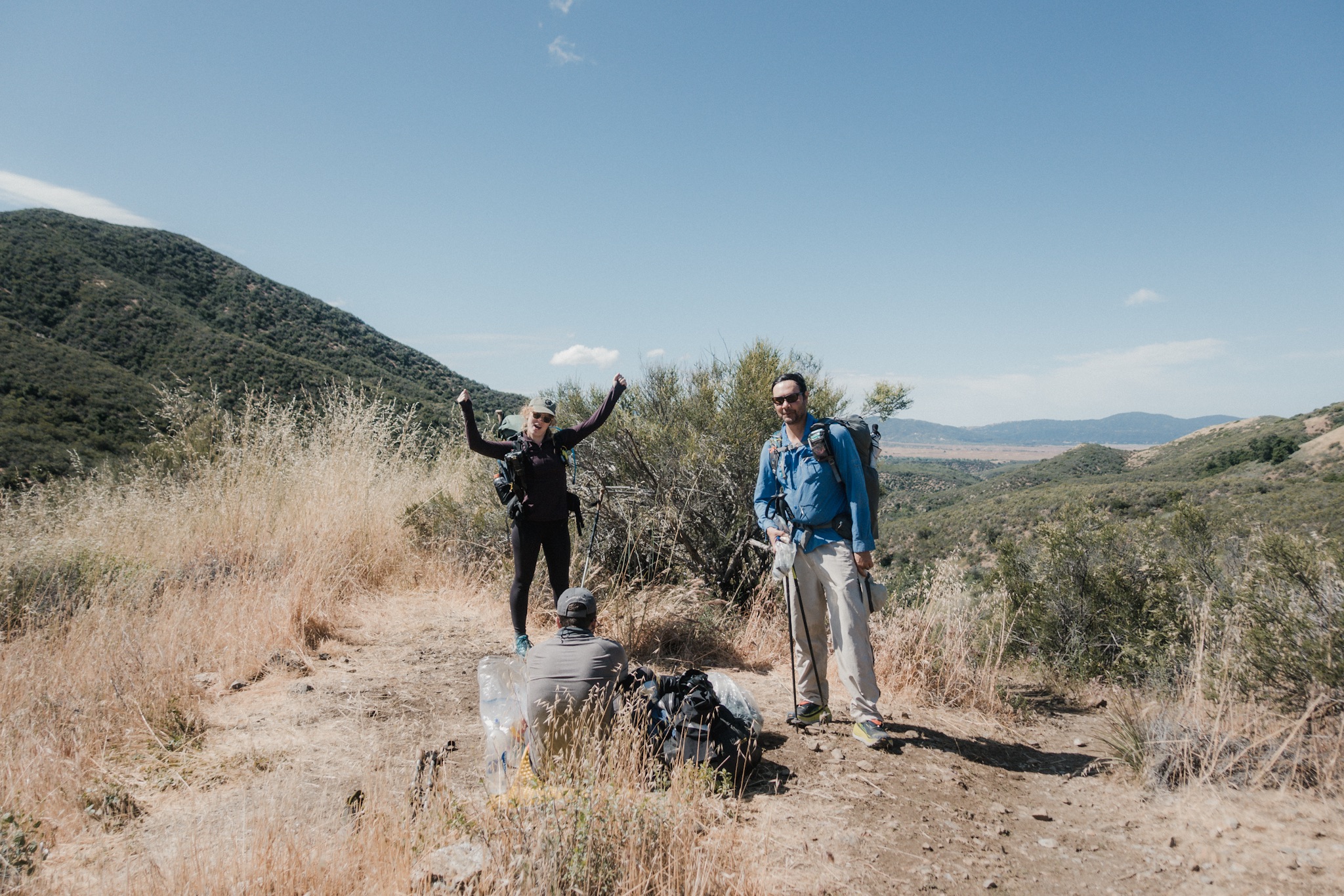
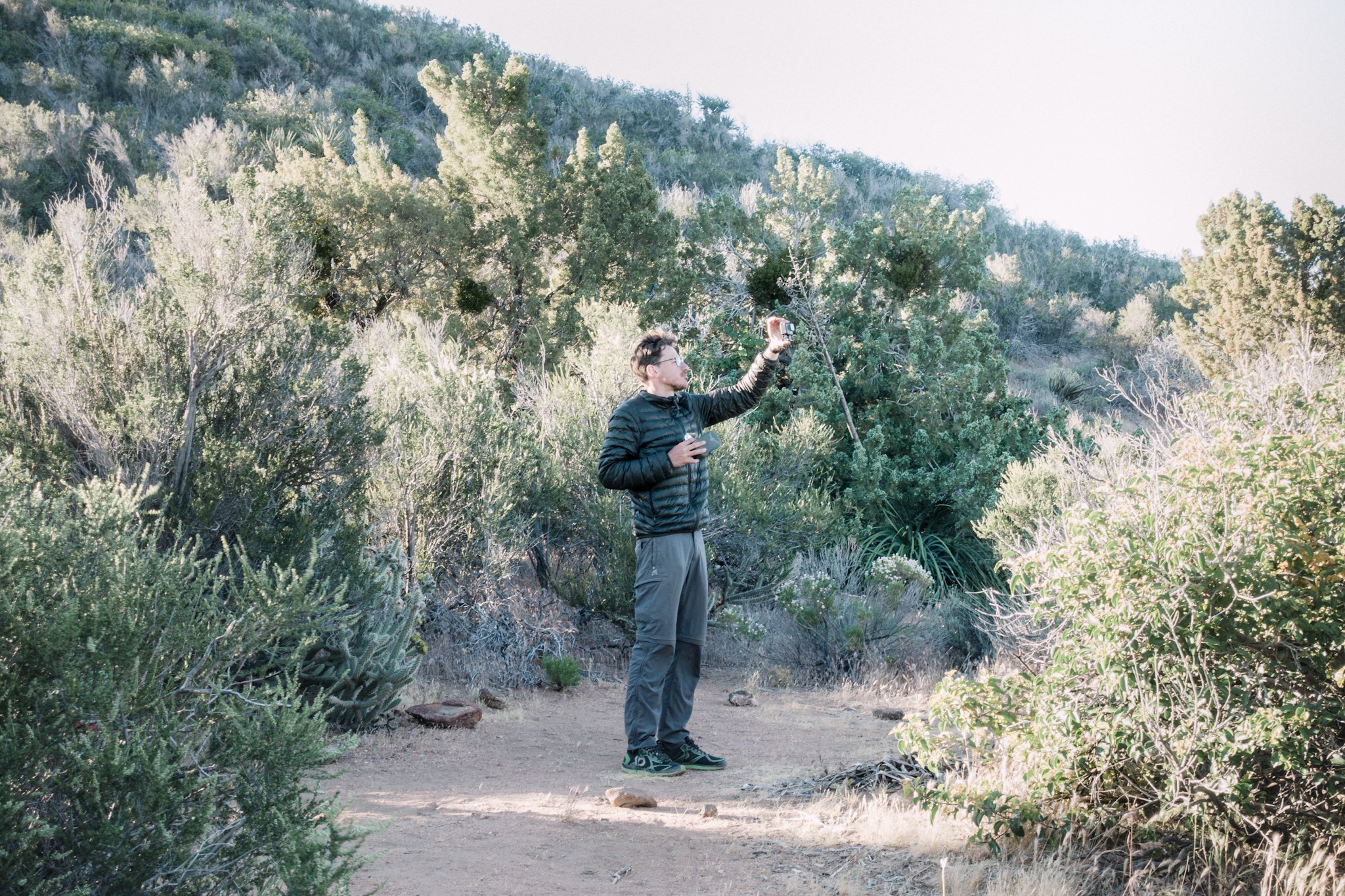
We stopped every now and then to take photos and the theme for today's photos was "touristy". It meant that every time we took photos, everyone tried to look as touristy as possible.

Tourists.

More tourists.
I caught up with the others at 8,000 feet (2,438m) and we diverted away from the PCT towards the summit of San Jacinto. I tried to keep up with the others but soon the elevation was too much for me and I had to slow way down to crawling speed. I felt like I could hardly breathe.

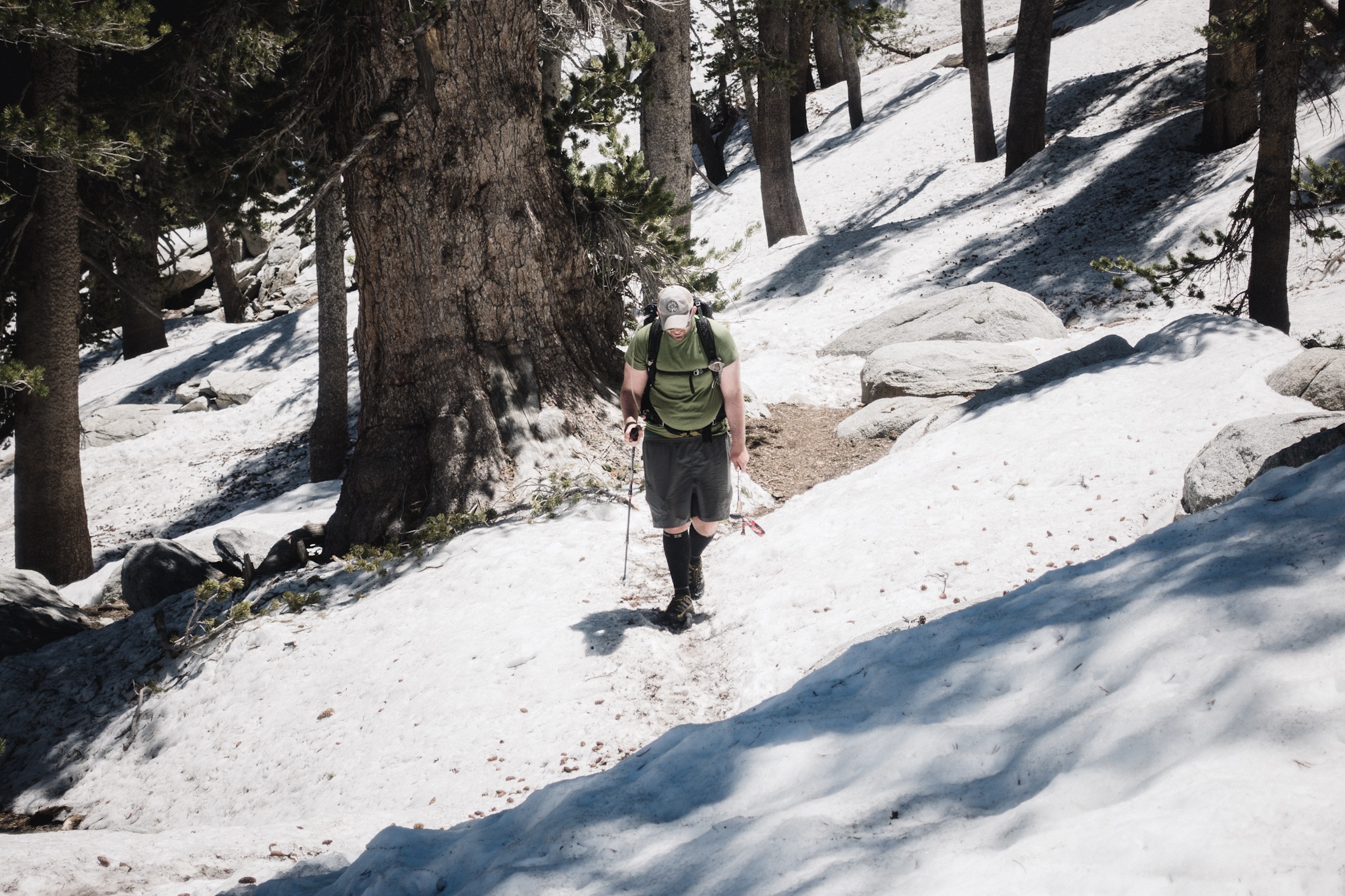
Once above 9,000 feet (2,743m) we ran into our first on-trail snow. The trail kept disappeared at times but we soon caught up to it. By now I was staying way behind and had to stop every 200 feet to catch my breath. Riley joined me and together we made the slow hike up to about 10,000 feet.

Girls crossing snow on trail.
Riley hiking up the snow.
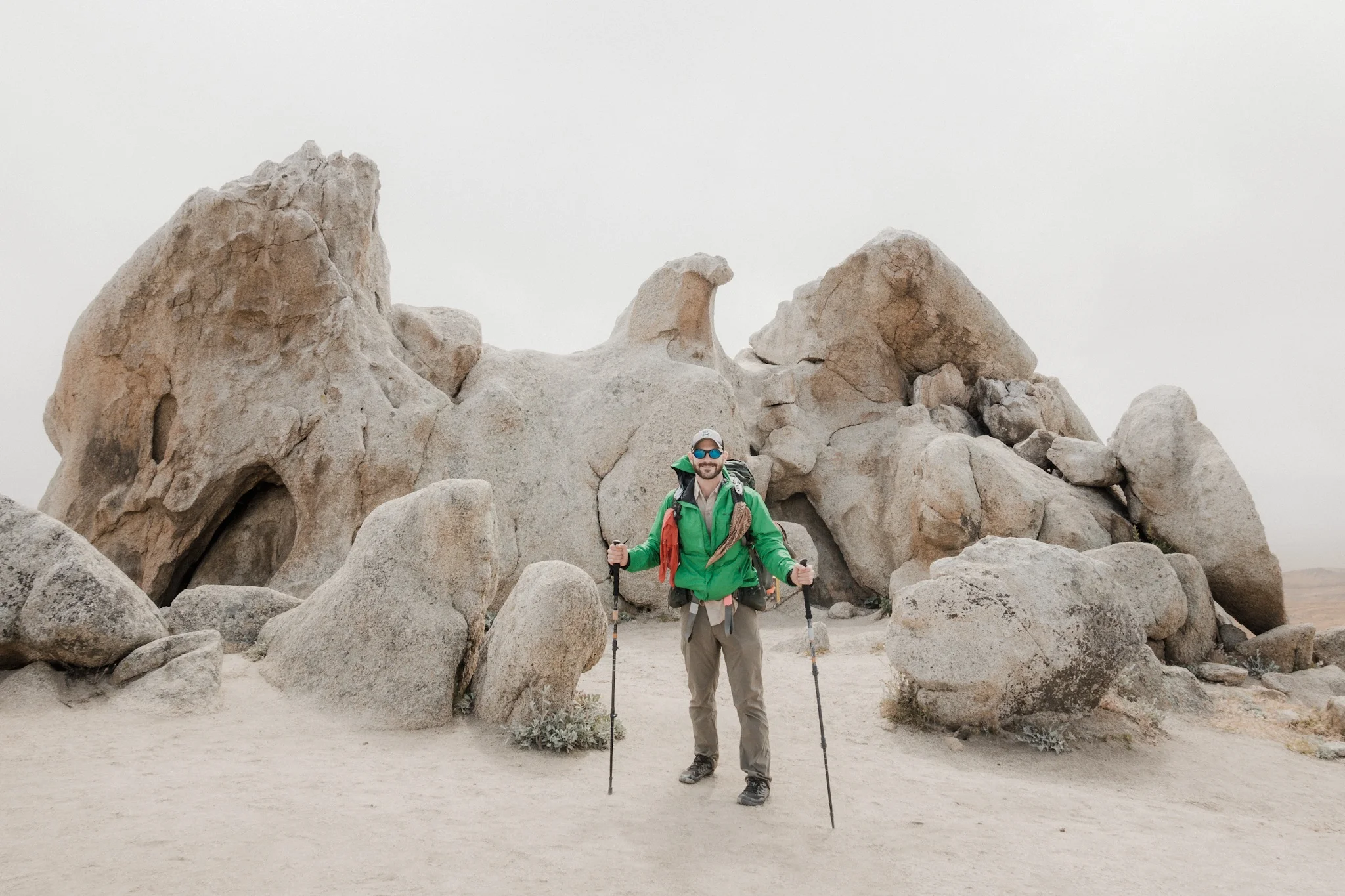
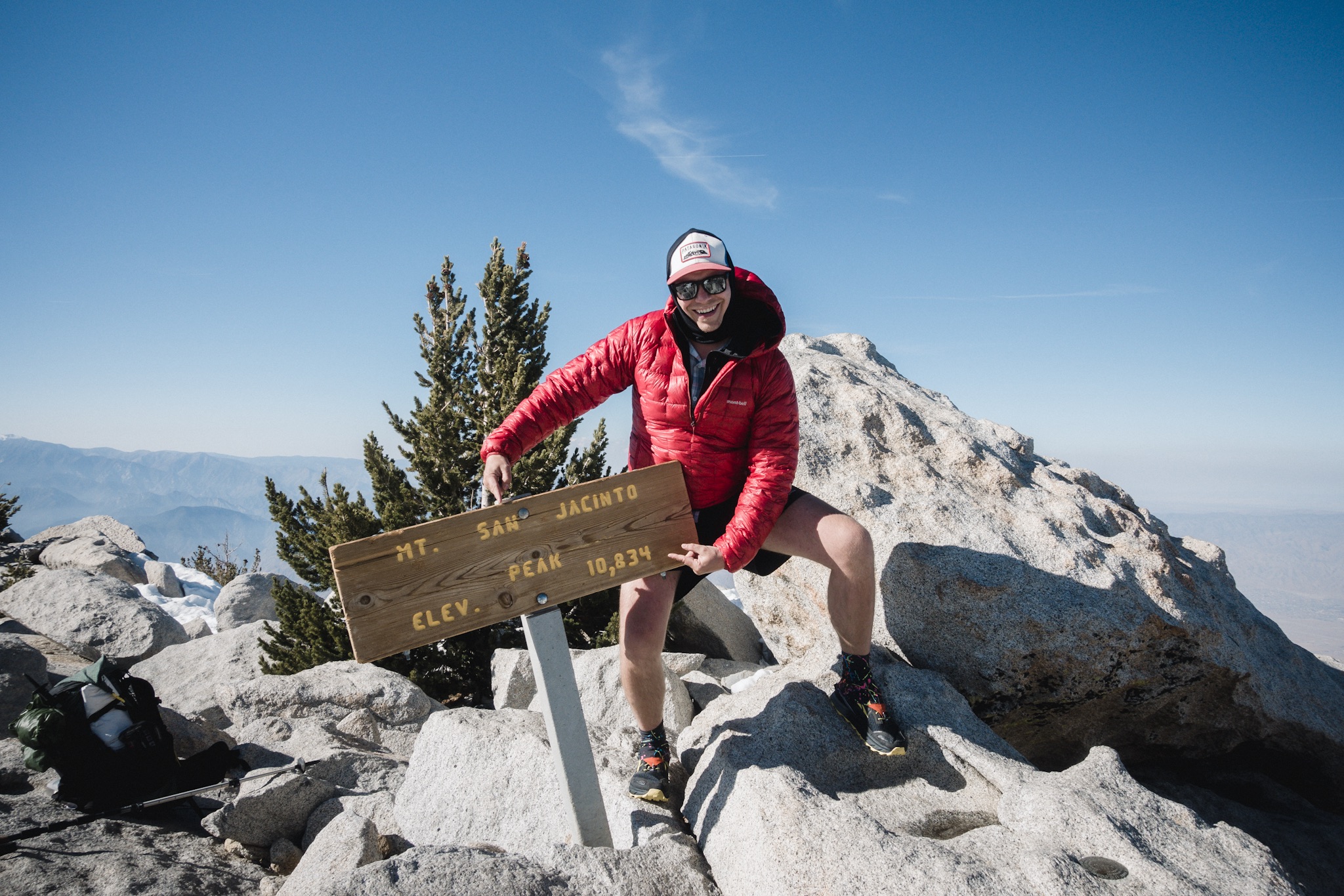
I made the last push to the peak alone and was met with cheers and a lot of familiar faces. The scenery from the top was simply breathtaking. I wanted to take the mandatory photos put was simply too tired and just laid down and rested.

Blü napping at the peak.
After some food and a short nap I started to feel better. We found nice spots a little down from the peak, just enough in shade from the wind, and me and Justine fell asleep again under the warming sun. After about an hour, I woke up just in time to see Blü's naked summit photo session.

Justine looking at the direction of Big Bear, our next destination.
It was so warm and beautiful at the peak that me, Justine, and Blü stayed up while all others left. Soon we had the entire peak for just the three of us. We used the opportunity to have a euro techno dance off at the summit. Toy-Box's Best Friend still rocks, even after all these years. Thankfully no one was around to see us!

The mandatory "I made it!" photo.
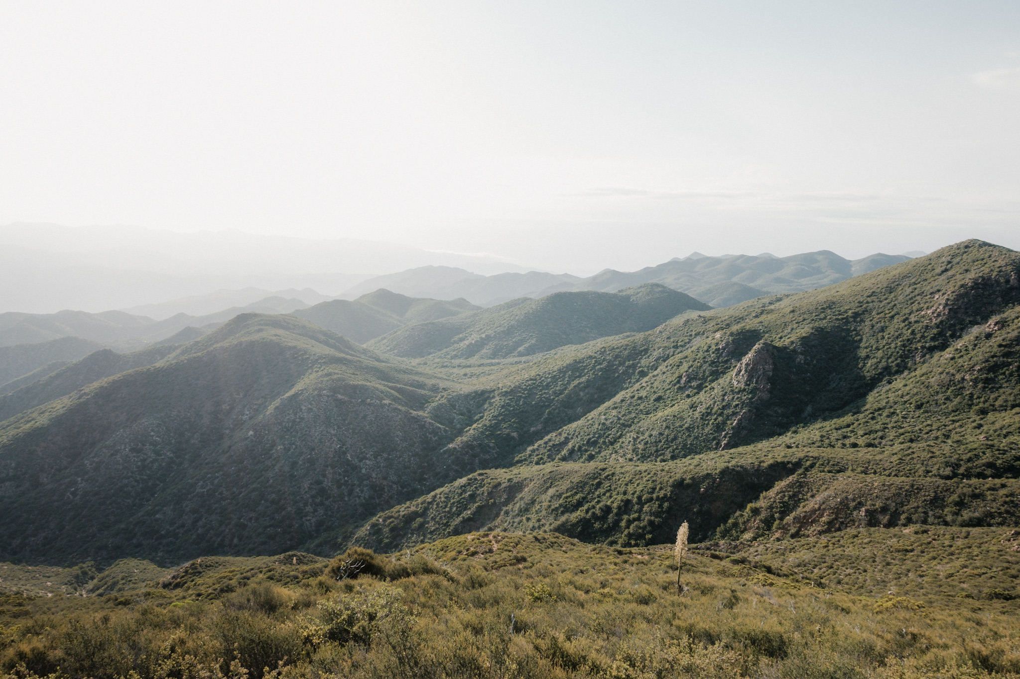
After a while we gathered all our gear and started our descent down to the PCT and towards the valley floor. This descent is the longest on the entire PCT as you descent from over 10,000 feet down to almost sea level. If the climb was brutal, the descent is going to be at least as rough, if not rougher.
We made our way back from the summit and found the trail. We started descending but the snow made trail finding difficult. The trail would disappear under the snow and as we'd follow the direction of the trail on top of the snow, to where we thought the trail would continue, it just wasn't there. We'd wonder downward and soon pick up the trail but soon it would disappear under the snow again. Sometimes the trail would just vanish into thin air right in front of us. This made the descent frustrating.
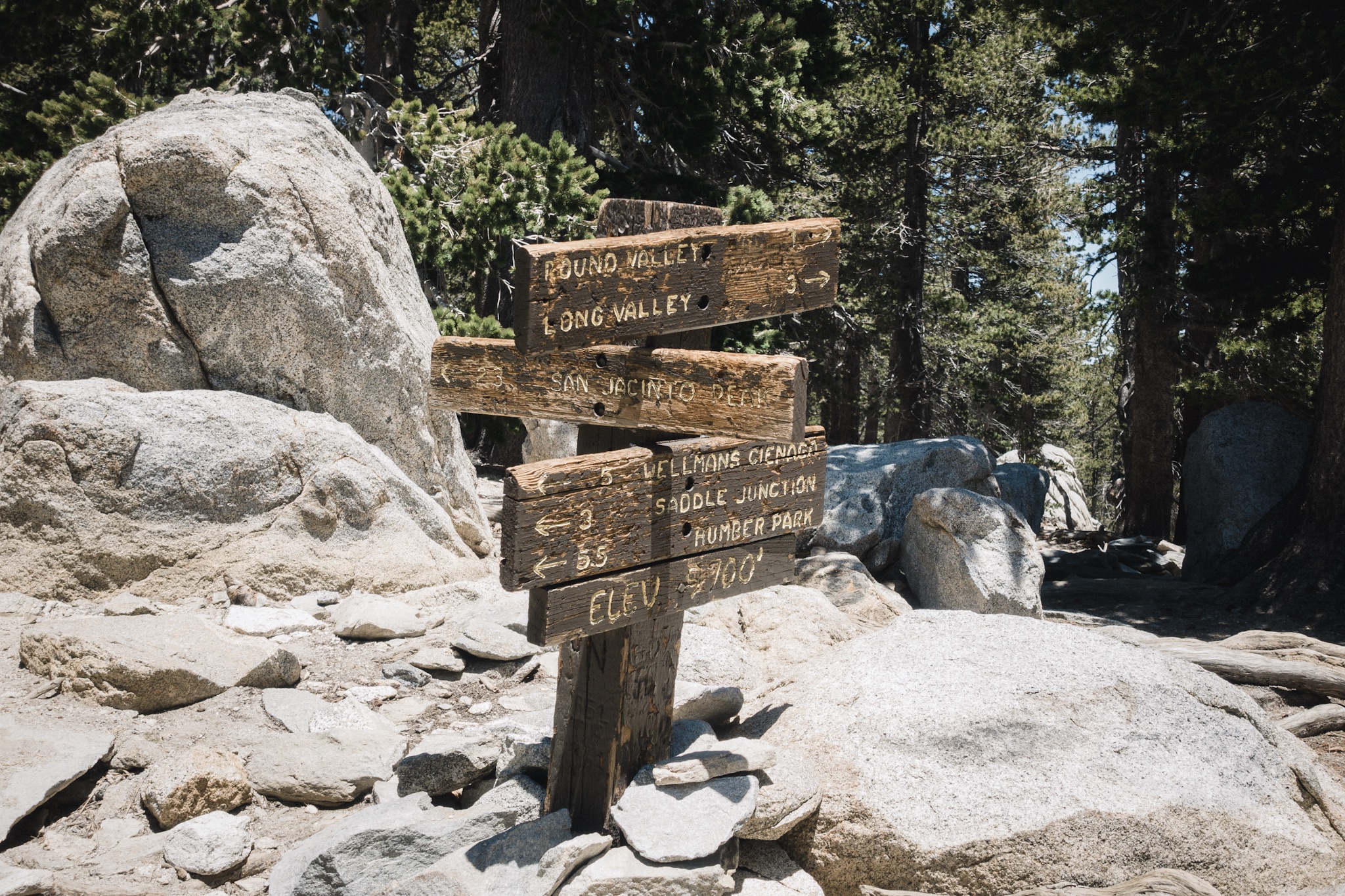
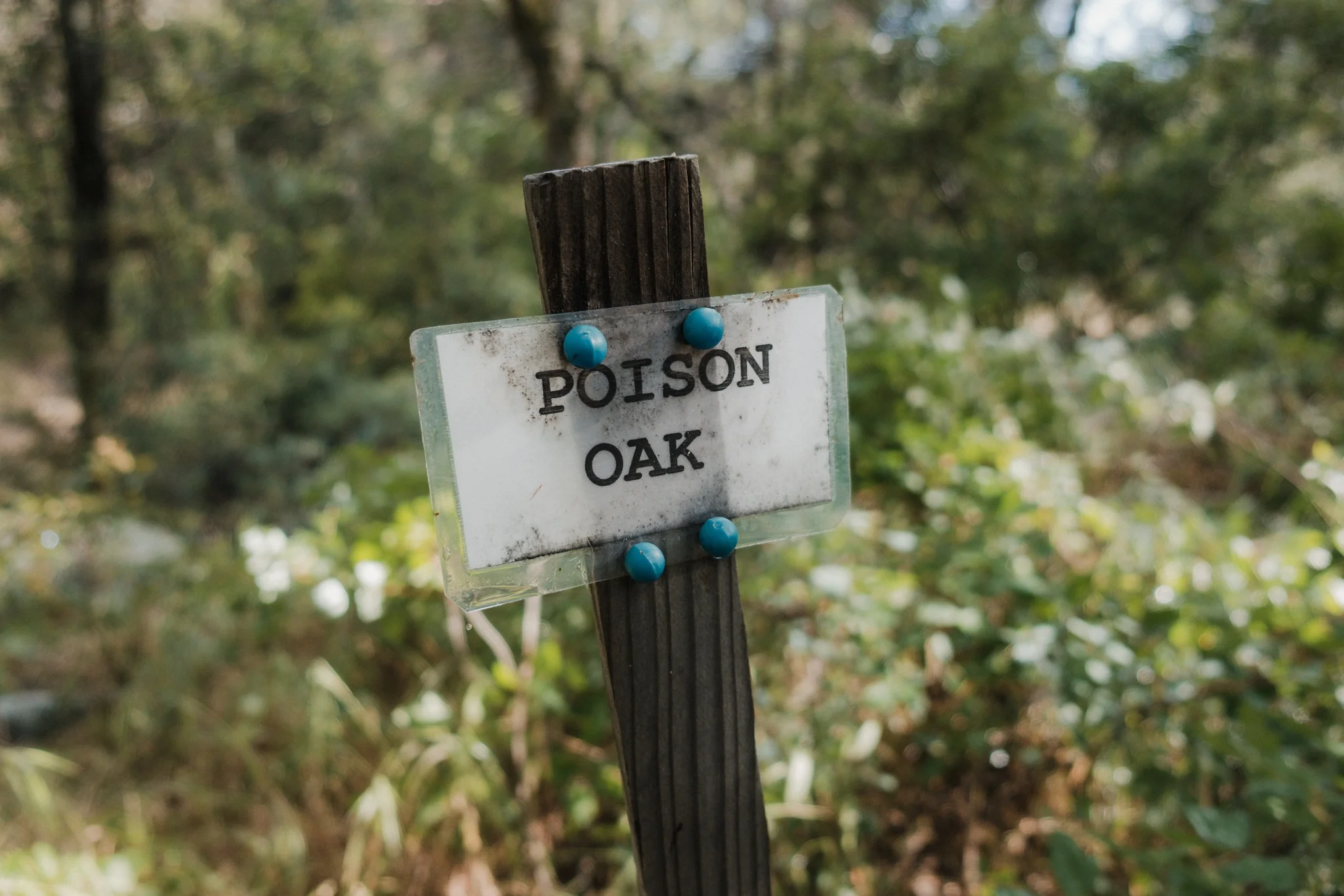
Trail signs.
After a while of scrambling down the mountain we found the trail again and followed it for a long time. It was nice to be on a solid trail again.
We made some way down and then the snow made a comeback. We traversed on top of the snow for a long while, trying to stay on the trail. We followed the tracks other hikers had left before us. All of a sudden we came to a spot where the tracks ended up going to every direction. We followed the ones that seemed most travelled.

I love these huge pine cones.
Suddenly we realized that we must not be on the trail again and the footsteps on the snow kept getting less traveled and less traveled. Quick look at the GPS told us we were off trail by several hundred feet downhill. Instead of climbing back up the steep hill, we decided to head down to a stream that was some way below us. According to the map the stream should take us right back to the PCT.
After some time we found ourselves on top of a waterfall, looking down on the PCT from up top. We couldn't go down from here but Blü found a new route between some rocks that got us back down. It was good to be back on the trail!

Waterfalls and snow.
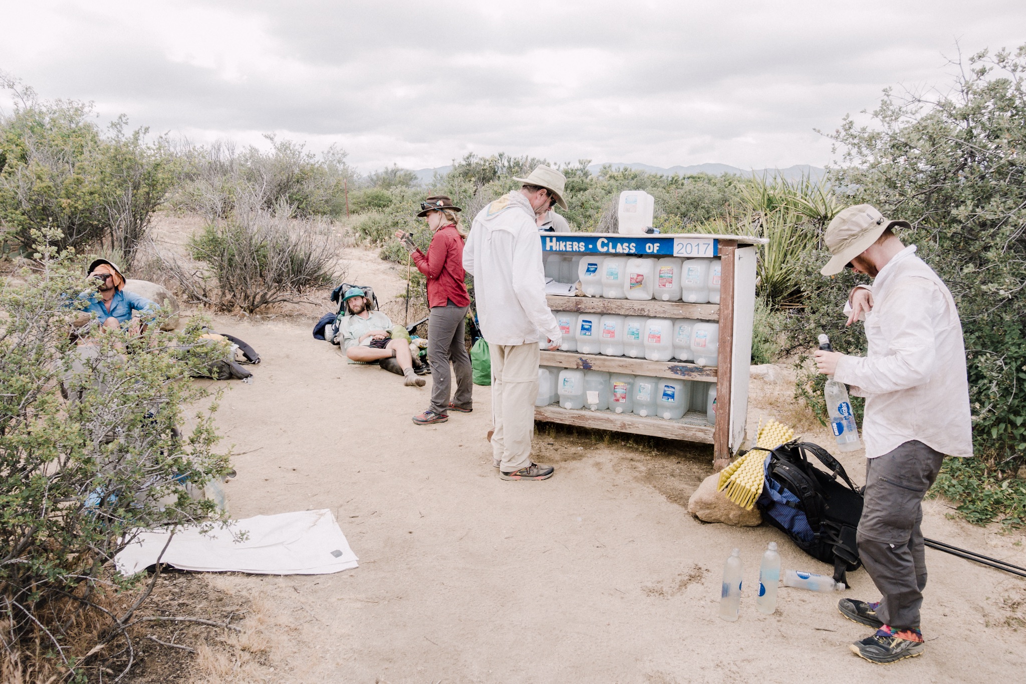
We crossed couple more waterfalls and kept laughing how good it was to have water everywhere. After some time the scenery changed and I checked the Guthooks app just in case. Ups. We had missed our last water source over a mile uphill, and the next one down was in over 14 miles (22.5km).
We took a quick tally of our water situation and decided that we could make it to the camp and then down to the water by tomorrow with what little water we had.

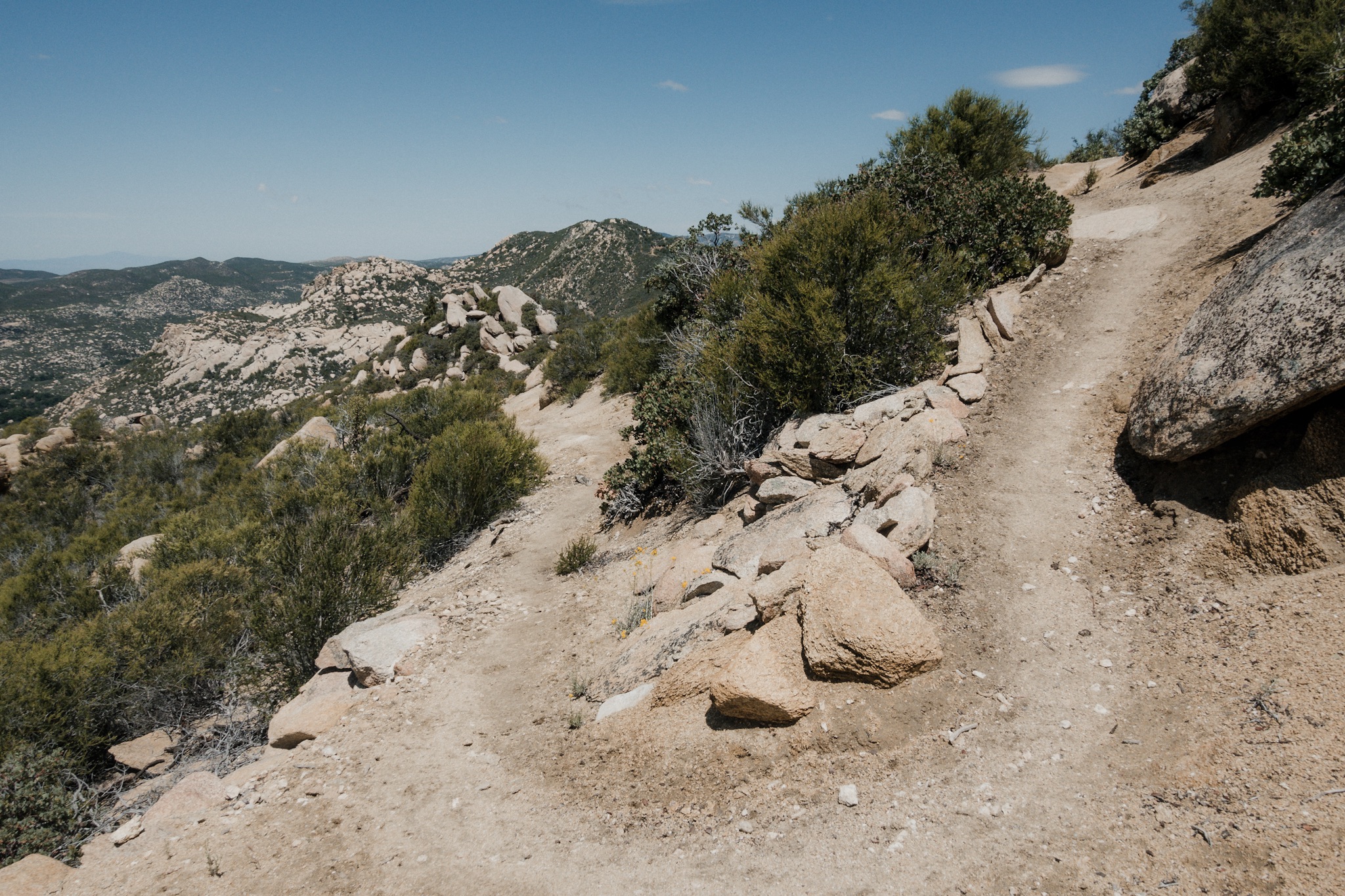
A look down to where we're descending.
Hiking at dusk was simply breathtaking. The scenery in front of us was simply out of this world. A thin fog had come up and was covering the mountains down below and we could only see the tips of their peaks sticking out through the gray fog. At the same time the setting sun painted the entire landscape with bright orange and purple hues. With the three of us, and the display that Mother Nature provided in front of us, this felt as close to perfection as one could get.

Our camp for the night.
It was starting to get dark as we got to the campsite. The site was nestled between trees on a ridge line, facing a city somewhere far below us. We set up our camp, made food with our headlamps on and then went to sleep. I was so tired I think I fell asleep before my head hit the pillow.
Tomorrow's going to be a long and strenuous hike down to the water source. I have less than half a liter of water left.
Sponsored by:
![]()