Hi, my name is Isko Salminen.
I'm an adventure seeker and I love exploring nature with my camera and Australian Shepherd called Fire

Day 5: Julian

IMG_0189.JPG

Date: May 4, 2017
Miles: 14.9 miles (24km), from Rodriguez Road to Scissors Crossing
Health: Legs hurt from the night hike and I slept poorly. Blister on my right heel is ok. 

After a poorly slept night I woke at 4:45am. Some had already gone out and as I was putting my stuff together, Blü left also. I gave some of my extra water to Rebecca as she was running low, and I knew I could make 8 miles with about a liter before it gets too hot. 

IMG_0191.JPG

Although it was still early, the trail was surprisingly hot. It snaked along the mountain side and at times I could see Blü on the opposite side. But the trail was rough. I drank more water than I had planned and needed to start moving along quicker as the sun was getting higher and soon it would make this shadeless trail unbearable. And I needed to get down from the mountain before I ran out of water.

IMG_0201.JPG
IMG_0200.JPG

I finally reached the valley floor and began the 2 mile hike to Scissors Crossing from where you needed to hitchhike 12 miles to Julian.

I met a SoBo hiker who was heading out towards the mountain where I just arrived, and right before the hottest part of the day. I gave her a warning that it would not be a great idea, she thanked me and told me she had plenty of water to make it to the next water source. I later learned from Black Swan that he had met her just a few miles ahead, where she had realized how hot the trail was, and had to turn back.

Hitch to Julian

IMG_0199.JPG

As I approached the road crossing to Julian I heard the sound of an ukulele and saw Blü hiking along the highway towards me. He had spend some time with others under the highway bridge at the water cache.

We were joined by three other hikers and after about 20 minutes, got a ride from a trail angel who shuttled hikers between Julian and Scissors Crossing.

Mom's

Mom's

At Julian, we were left in front of Carmen's. She's a trail angel that lets smelly hikers to shover and wash their clothes in her restaurant while ordering drinks or food. While others headed to wash their clothes, we wanted to get our free apple pie.

IMG_0198.JPG

In Julian there's a famous pie shop called Mom's that offers free pie and a drink to all thru-hikers with a PCT permit. The rest of our bubble was also there. We sat down and I got to taste my first ever real American apple pie. It was so good!

IMG_0197.JPG

Then we wobbled back to Carmen's. Julian is a small town, kind of like an old western town, where all the houses are along the main road. You can walk through the town in less than 5 minutes. I really like the atmosphere in here!

Carmen's  

Carmen's  

The scene at Carmen's was sort of hectic. A lot of smelly hikers in different levels of nakedness, wearing clothes from the hiker boxes as their own clothes were still in the washing or drying machine.

IMG_0193.JPG

As you arrive, you hear the house rules and you get a free drink. I went with an ice cold beer. As I had slept so poorly, the scene quickly became too much for me and I decided that I needed to get some rest. Only available rooms left were at the Lodge and I happily paid the price to get away from the heat and to get some sleep.

I took the first shower with all my clothes on. The amount of dirt that came off of me was unbelievable. As I was still dirty after a second shower, I decided I needed a bath. I don't generally like baths but this time it was divine.

Bath time

Bath time

After washing my clothes multiple times, I set them to dry and got on to bed. I had three days worth of photos, videos, and text to transfer into blog posts. I imported all the photos from the camera, edited them, copied all the texts and started the slow process of uploading. Even in towns, the internet here seems excruciatingly slow. It takes up to 5 minutes to get one photo uploaded and I can't get videos to upload at all.

IMG_0194.JPG

After working on my blog for way too long, I headed out to get my resupply for tomorrow. Warner Springs is 33 miles, about a two days hike from here, but you can't buy anything from there as there's no store there. For that reason many hikers send resupply packages by mail there – but I didn't.

I'm leaving with three days worth of food and I'm hoping to score some more from hiker boxes in Warner Spring, enough to get me to Paradise Valley Cafe, about five days of hiking.

IMG_0190.JPG

My only concern is the approaching storm that's supposed to arrive the day after tomorrow bring rain and snow. I don't want to get caught up in the mountain when the storm hits the area so I need to really buggy down the trail tomorrow as there's a big mountain between Julian and Warner Springs that I need to hike over.

On my way back I went to see few hikers at Carmen's and then it was time for bed. My pack is going to be so heavy tomorrow as I need to carry about 5 liters of water to make it to the next water source which is the Third Gate Water cache. You're not supposed to rely on water caches but without the cache this would be almost 23 mile water carry while going mostly uphill. 

Day 4: The night hike and the day of the firsts

IMG_0183.JPG

Date: May 3, 2017
Miles: 26.9 miles (43.3km), from Water faucet junction to Rodriguez Road
Health: Legs are hurting, the poor taping job I did in the morning caused a blister on my right heel, and the long descends are starting to get on my knees. Very tired.  

The start for today was clear: we take enough water from the junction, to make the 10 mile hike to the next water source. From there it would be 20 miles to the next water source, the biggest water carriage so far.

Breaking camp

Breaking camp

I was first on the trail again, around 4:50 am. Black Swan (his trail name) was few minutes behind me. He cowboy camped last night so he's much quicker in setting up his camp than me. I'm still too chicken to cowboy camp, especially as I've seen what kind of crawlies the desert has out at night.

He quickly caught up to me as I was taking photos, and we hiked along talking about what ever you talk on the trail. He was having some issues with his knees and after a while stayed back as I hiked on.

IMG_0185.JPG
Early morning hiking

Early morning hiking

First 10 by 10

In desert hiking there's a strategy called 10 by 10, which means you hike 10 miles before 10 am. I had tried it on previous days but always missed it by about 30-40 minutes. But today the trail felt amazingly good, and my feet were feeling great, and to my surprise, I was suddenly done with my 10 miles. Blü and Neal were there at the water source and I celebrated the feat with few awkward yells.

Now I had all day to siesta at the small creek that was the water source. Only problem was, there was no shade. Zero.

Hanging by the creek

Hanging by the creek

Cold soaked ramen and tuna

Cold soaked ramen and tuna

We had heard rumors from two day hikers that there might be trail magic 2 miles up on the Sunrise Trailhead. Neal and others who had already arrived decided that they'd try their luck and see if the rumors were true. I had already exploded my pack, and a 2 mile uphill hike in the middle day sun was not inviting, so I decided to stay. Blü set up his tarp and I tried to cover under my umbrella as best as I could.

Finding little shade right on the trail

Finding little shade right on the trail

Marge and Jim, the older hiker couple I had leapfrogged the previous day arrived, as did Black Swan and Rebecca. As the sun moved, we finally had a little shady spot, sitting right on the trail below some brushes. This turned into a another great siesta.

IMG_0180.JPG

I also received my first trail magic. Trail angel named Deb walked down from the trailhead and brought us all homemade trail mix. She had specially made these, and walked along the trail to provide much needed salt and calories for hungry thru-hikers. Thank you Deb!

Trail magic!

Trail magic!

Trail doggies

Trail doggies

By this point everyone had agreed that the best approach to tackle the shadeless and waterless 20 mile section was to night hike it tonight. That meant it would be a 30 mile day for me.

Neal filtering water

Neal filtering water

As the sun started to set, we filtered about 4 liters of water each from the creek and headed out. As we got higher my phone got reception and I received messages from Neal that they had received trail magic at the trailhead; sodas, food, and ice cream, and then had another trail magic from an trail angel who took them to her house for the day to eat and chill by the pool. Dang.

But this meant that they were still not at the trailhead and would be at least an hour behind us. Marge and Jim were ahead of us, Rebecca and Black Swan behind us.

IMG_0172.JPG

The trail snaked around on top of the mountains, with gorgeous views all around us. Soon it got dark and out came the headlamps. It was easy to hike as the air was getting colder.

After a while the trail started to descend in a steep angle. We had been quite high, but due to the darkness couldn't see how far we had to go. At one point we saw lights down at the valley floor, we figured it must be Marge and Jim.

60 mile marker!

60 mile marker!

The long, steep descend started to take its toll on our feet. On the way we saw our first scorpions, tarantula, and a lot of centipedes. It's so cool how the desert comes alive during the night. Every now and then we would stop, switch off our headlamps, and just marvel at the dark scenery and the stars above us. The moon, although just a half moon, gave us almost enough light to hike without lights. I can't wait to night hike under the full moon in few weeks.

Saw plenty of these little fellas

Saw plenty of these little fellas

Tarantula. She was guarding her catch.

Tarantula. She was guarding her catch.

We reached the valley floor and almost immediately started to climb back up. At that point we first saw one, and then a second headlight behind us, up on the ridge we just came down from. Rebecca and Black Swan.

We sent them messages with our headlamps even though they were miles away. At one point we could message both Marge and Jim in front of us, and Rebecca and Black Swan behind us, all three seeing each other on a different mountains. 

Little later we saw a long line of lights, this was Neal and others who had been at the trail angels place.

The mountain lion

After walking on top of the mountain range for a while, the trail started another steep descend and we caught up to Marge and Jim on one of the switchbacks. They were having a break and mentioned having heard some rustling in the bushes earlier, sounding like something big.  By this point both me and Blü were so tired that it didn't seem to register with us at all.

We hiked on and soon arrived at the Rodrigues Road water tank. The tank is empty according to the water report. We stopped for a late lunch, it was about midnight. We waited for Marge and Jim and congratulated them as they've had a long, over 25 mile day. They started to set up their tent to get to sleep, we layed on our backs, looking at the stars, eating tortillas and feeling too tired to keep going.

Soon we saw headlights approach and Black Swan and Rebecca arrived. They were little shocked and told how not far back, they had seen a mountain lion on a rock on top of them, stalking them, and as they had pointed their headlights at it, it had jumped over the trail in front of them. Yikes. It was about the same spot where Jim and Marge had heard the noice, so it was probably stalking all of us. Good thing we walked in pairs!

That pretty much settled the deal. Blü was already half a sleep, and I didn't want to push on alone knowing there was a mountain lion stalking hikers close by. I knew that I could make the rest of the miles in the morning with the little water I still had left.

I got to bed by 1 am, right as Neal passed us. I warned him about the mountain lion and he pressed on as he still had energy. Maybe I should have gone on with him to make the morning hike easier? But I was too tired and already in my sleeping bag. Eyes are too heavy, must sleep.

Day 3: Mount Laguna and spectacular views

IMG_0159.JPG

Date: May 2, 2017
Miles: 16.7 miles, from Fred Canyon to Water facet junction
Health: Legs are starting to feel it, but nothing too bad. I hope the flu stays away, I'm still feeling like I'm low on energy. 

The alarm woke me up at 4am but I was a bit foggy and it took me a good half an hour to get up.  It was dark outside and no one else was up yet. I taped my legs, packed my things, filtered some water and headed out while everyone else was still sleeping.

The air was cold by the creek but by the time I had gotten a little higher in elevation, the air turned hot again. The earth was still warm from the previous day.

IMG_0160.JPG

I ate few pop tarts, a snickers bar, and washed my teeth while hiking towards Mount Laguna.

The views and the climb from the creek were beautiful. I had to constantly stop to marvel the beauty of the desert.

IMG_0167.JPG

The sun came up pretty quick but the trail rolls on the western side of the ridge line so it stays in the shadow of the mountain the whole morning. When the sun is this hot, you try to stay in the shade as much as possible, even in the early morning.

IMG_0166.JPG

Few miles in I happened upon an older couple, Marge and Jim, and spend the rest of the morning leapfrogging each other. As we approached Mount Laguna, the scenery changed and got more foresty with big pine trees and pine needles everywhere.

No sight of Blü or Neal on the trail again. They must have hiked long in to the night again and made it too far for me to catch them before the town.

Mount Laguna

IMG_0165.JPG

Mount Laguna is a small town almost right on the trail. While the official PCT goes around the town, you can also walk from the trail, through the town, and join back on the PCT. For me it's all about the continuous footpath from Mexico to Canada, not about hiking every mile of the PCT, so I hiked through the town.

The actual town of Mount Laguna consists of just few storefronts along a small road. There's restaurant, gear store, grocery store (prices are high), and visitor center. The town is conveniently build so, that you can walk through them in that order and then head back on the PCT.

As I got to the restaurant, there were all the familiar faces. Blü and Neal were heading to shade to enjoy the long siesta. We swapped trail stories from the night before, and then I joined Justine, Alex, and others from our bubble inside for a breakfast.

Mt. Laguna gear store

Mt. Laguna gear store

After we had our bellies full, and everyone had used the toilet facilities, we headed to the gear store. Now, be warned, this is a great place to lose half of your budget.

They give weary hikers pack shakedowns, and for many this is a great opportunity to lose a lot of unnecessary pack weight. They also have a very good selection of ultralight gear inside. So if you need to update, replace, or add gear to your setup, they most likely have it. And the prices are set accordingly.

But for many hikers, the lure of a lighter pack, after 43 miles in the desert, can be too tempting. Just don't spend your entire budget here.

Hiker boxes full of gear, free for taking

I had been having some trouble with the thickness of my Darn Tough socks and the swelling of my feet. This caused my toes to press together, and also pressed the sides of my feet against the side of the shoes. So I needed new socks, and Neal had recommended me the Injinji toe socks and I bought them.

After a long while of drooling over all the UL gear packed into this small store, we headed to the grocery store for resupply. The hardest part so far for me has been knowing what to buy as most of the brands seen here in stores are unknown to me. 

I managed to gather enough food to last me to Julian on mile 77.

The siesta

Blü and Neal having a siesta.

We had decided to leave late in the night and siesta all day to beat the hottest part of the day. We set up shop on the porch of the visitor center and waited for the sun to drop. As we had gotten to the town so early, this turned out to be the mother of all siestas, a good 7 hours.

IMG_0158.JPG

We had a 6.1 mile hike to the next water source, the Water faucet junction at mile 41.5. It was again easy to hike in the cool evening air. The trail dipped through pine forests, and then opened up to gorgeous views of the desert.

Once at the junction, I joined others and setup my tent while Blü and Neal again pushed further. They had a shorter morning so they wanted to still get some mileage in before it got completely dark.

IMG_0156.JPG

Tomorrow is going to be an interesting day as we're approaching a 20 mile waterless section that doesn't have any shade. Our only option seems to be to night hike it, but we either have to make a very short day tomorrow and night hike it the day after, or do a very long day tomorrow. That would mean doing the 10 miles to the last water source in the morning and then doing a 20 mile night hike after that in the evening – making it a 30 mile day.

IMG_0157.JPG

But that decision can wait until tomorrow.

We had a nice, tight tent circle right at the junction. We talked about astro photography with Justine and Pin, traded more trail stories, and then headed to bed. The best part of the day is when you get to crawl in to your sleeping bag.

IMG_0169.JPG

Day 2: Suffering and pure bliss

IMG_0150.JPG

Date: May 1, 2017
Miles: From Hauser Creek to Fred Canyon, 16.4 miles
Health: Feeling good. No blisters but legs are swelling in the heat. 

I woke up at 3:45am, a good half an hour before my alarm. Packed up my pack trying not to wake up or disturb the others still sleeping around me. After a bit of fumbling in the dark with my gear, I found the trail head and started the climb out of Hauser Canyon.

Ate my breakfast, two Pop Tarts, while walking, same as washing my teeth. I got about half way up when I saw a single headlight starting out from the camp, slowly wiggling up the hill after me.

We spend the previous night talking about all the mountain lion sightings in the area so every time I heard some rustling in the brushes, I jumped. It's funny how these things get in to your head.

IMG_0146.JPG

My goal was to make it to Blü's and Neal's camp two miles up, at mile 17.6, before they wake up. Once I got there, there was a tent but neither of the packs outside looked familiar, and Blü was cowboy camping, so it wasn't them. I must have either missed them in the dark, or they were ahead of me on the trail.

I hiked easily in the coolness of the morning, listening to podcasts, and quickly made the 5 mile hike to Lake Morena. The shop/restaurant opens at 7am, I was there at 7:02am.

Neal was there already and Blü showed up in few minutes. They had hiked longer in to the night and slept 0.5 miles outside of town. We ate breakfast, bacon and eggs, and charged our electronics. As the morning went on, other hikers started to appear as well.

Me and Blü wanted to get going before it gets too hot to hike and headed out. Neal stayed behind, charging his phone, promising to catch up to us. Our plan was to get 8.5 miles done before the afternoon and to make it to Kitchen Creek Falls for the siesta and to cool off for the hottest part of the day.

I was feeling good heading out. Blü played some ukulele while we hiked through the town and on to the trailhead. The heat was already setting in so it was time for the umbrellas to come out. After about a mile I started feeling bad and I knew I could keep up with Blü's pace and told him to hike out as I started to listen to some podcast to get the hiking motivation back.

IMG_0151.JPG

The motivation never came back. It felt like I was getting nowhere slow. After a while Neal catched up to me and just blazed by. The miles felt so long, hiking alone with no shade and feeling like my feet were failing me. I climbed for what must have been over two hours.

By the time I got to the mile 28.5 where the Kitchen Creek Falls should have been, there were no Falls, and no sight of Blü or Neal. I had no other option than to hike on.

IMG_0147.JPG

The trail just kept climbing up and up and up and I was running out of water. And I felt the heat exhaustion starting to set in – I had to stop. I found a spot with little shade, about the size of my backpack, and huddled there eating salts and drinking dehydration drinks. I was not feeling this section.

After I felt better, I got up, started walking and turned a corner on the trail. Low and behold, there was the creek and down below by the creek were Blü, Neal and bunch of other people sitting by the flowing river. We had apparently all missed the little sidetrail to the Falls and ended up a few miles up the river.

IMG_0143.JPG

As soon as I got down to the water, I jumped in. This was heaven! We sat in the flowing water with our clothes on, covering from the sun with our umbrellas. I cracked open the Heineken I had hauled from Lake Morena and just enjoyed the moment. While the beer was piss warm it was still worth the haul.

IMG_0142.JPG
Piss warm beer and cold stream

Piss warm beer and cold stream

We enjoyed the water until the sun disappeared behind the mountains and then started to hike again. The views were simply breathtaking. We stopped every few minutes to take photos and just marveled at the beauty of the desert.

IMG_0170.JPG

Because I had 5 miles more under me already, I stayed at Fred Canyon while Blü and Neal continued on. I'll catch up to them in the morning as I want to hike the 10 miles to Mount Laguna while it's still dark and cold.

Alarm is set to 4am.

Tomorrow's plan is to spend the siesta in Mount Laguna and then do 6-7 miles in the evening, setting us up for making it to Julian at mile 77 in the day after tomorrow. I'm planning on taking a zero in Julian.

My camp at Fred Canyon

My camp at Fred Canyon

Day 1: Campo, desert, and snakes

Date: April 30, 2017
Miles: 15.4, from Campo to Hauser Creek
Health: Good. Little concerned about the flu, but I think I should be fine.

We woke up at 3am, I hit the shower and shaved my face one last time. After a quick breakfast we were on the road at 3:50am. It was pitch black as we drove from San Diego towards the Mexican border and Campo.

After a little wondering around and a quick run-in with the border patrol, we found the Southern Terminus of the Pacific Crest Trail. I signed the trail register, I was the second to leave on April 30th, and we took the mandatory Terminus photos at the monument and then it was time to start my journey towards Canada.

We said our goodbyes with Mikko, he started heading back to San Diego and I took my first steps along the PCT in complete darkness. Standing at the monument and starting the hike felt surreal. I had been planning for this exact moment for over a year and now it was actually happening.

IMG_0133.JPG
Signing the trail register at Campo

Signing the trail register at Campo

From Campo to Hauser Creek

IMG_0129.JPG

Most hikers starting from Campo aim to reach either Hauser Creek at Hauser Canyon, 15 miles from the border, or push the 20 miles to Lake Morena which is a small camping area with a small store and a restaurant.

My plan was to hike the 15 miles to the Hauser Creek and sleep there, as the huge climb out of the canyon is notoriously hot and steep, and doesn't have any shade. So I was planning on doing the climb early next morning when it's still cold and make it to Lake Morena for breakfast.

The start of the desert

IMG_0128.JPG

The beginning of the trail was quite uneventful. You basically hike back to the small road, then follow along it, and after about an hour, turn towards the hills and head to the desert.

Once there, the desert was everything I was expecting it to be. And more. It was hot, beautiful, full of life, and hot. Not like a sauna hot, but dry hot. You don't actually sweat as the moisture simply evaporates immediately.

Hiking in the early morning was easy as the air was still cold from the night before. But once the clock started to approach ten o'clock, the heat started to feel unbearable.

Chromedome to the rescue

IMG_0127.JPG

I don't know what I would've done without my umbrella. Having something to shield yourself from the sun was invaluable.

As the day progressed, I met other hikers, and kept leapfrogging with few who had the same pace as I did. Eventually settled in to a rhythm with a hiker called Blue, and we crushed the last of our 15 miles quickly to make it to the cover of Hauser Canyon by 2pm. Hauser Canyon still has a running stream and trees that provide shade from the beating sun.

IMG_0126.JPG

Although I didn't see a rattlesnake all day, and I was really keeping my eyes out, we had a snake crawl straight through the middle of our camp.

We spend the rest of the day laying in the shade and welcoming other hikers who kept coming all day and all evening. By the hiker midnight, there where about 15-20 people camping by the Hauser Creek.

IMG_0125.JPG
Hiker feet

Hiker feet

Blü and Neil at Hauser Creek

Blü and Neil at Hauser Creek

I really didn't want to push any further today as I'm still recovering from the flu, and the climb out of Hauser Canyon in the evening sun would have been crushing. Instead I'm going to wake up at 4am, do the 5 mile / 8km climb when it's still cold outside. And make it to Lake Morena for breakfast and resupply early enough to still crush another 10 miles before it gets too hot.

I'm hoping to do another 15 mile day tomorrow. This way I could make it 43 mile trip to Mount Laguna by Tuesday, making it easy 15/15/13 mile days.

Gear notes

Stoveless dinner

Stoveless dinner

So far bringing the umbrella was a great idea. I, and others with umbrellas, felt sorry for those who had to hike in the beating sun all day without any shade or protection.

Bringing 6 liters of water was too much. We crossed at least 5 flowing streams and even without filling up, I had almost half of the water when we got to Hauser Canyon. I'm going to start tomorrow with 1 liter and refill at Lake Morena.

The liners in my shorts had to go. I got some serious butt chafing by mile 10, and had to wobble to Hauser Canyon because I really didn't feel like stripping bottomless on the trail. I either have to find a trail town that sells underwear, or I'm going to be the guy showing Willy all trail long.

My camp for the night

My camp for the night

My Pacific Crest Trail thru-hike gear list

PCT gear fully loaded

Long distance thru-hiking is undoubtedly a gear sport. What you bring, and what you leave at home, can make a huge difference not only to one's comfort on the trail, but also ultimately to either making or not making it. Lightweight and multi-use are the name of the game.

Here are all the gear I will be bringing along for my PCT thru-hike, sorted out by category. I've also included some reasoning on why I chose to take these, or why I chose to leave something out. I've also include item weights where it makes sense in the context of this article.

For more detailed breakdown, see my full gear list on my lighterback page.

The Big Three

The big three for PCT thru-hike

The Big Three consists of your shelter, sleep system, and backpack. These are usually the heaviest items you carry, and also where you can save the most weight.

My backpack is Mountain Laurel Designs Prophet (463g). It's a 48L frameless pack (meaning, unlike generally, it doesn't have a frame inside) and carries really well. I've attached MLD's Bottle Pocket shoulder pouch to the right shoulder strap, and ZPacks Shoulder Pouch to the left where I keep my camera and camera accessories for easy access while hiking.

For shelter I use MLD's cuben fiber Patrol Duo (310g), coupled with cuben fiber Serenity Duo (310g) innernet. While ZPacks and Big Agnes are the most popular shelter brands on the PCT, I chose to go with the Patrol tarp for its modularity and openness. Unlike the ZPacks shelters, with the Patrol, you can pitch just the innernet, or the tarp, or both – depending on the weather and bugs. And unlike the fully enclosed tents from Big Agnes, the tarp offers a bit more "scenery" and allows you to be more connected with your surroundings.

For sleeping bag I use the ZPacks 10F sleeping bag (709g). Up until the last minute I was going to use my old 20F bag, but seeing how many of the 2016 thru-hikers complained that it was too cold, and looking at all the snow on Sierra, I ordered the warmer 10F bag. I should sleep nice and warm.

My sleeping pad is the good old Z Lite Sol (260g) from Therm-a-Rest. While I enjoy the comfort of inflatable pads, on longer hikes I get tired of inflating and deflating them. You can just throw down the Z Lite and you're ready to sleep, no huffing and buffing required. The Z Lite is also almost indestructible, which is great when you're crossing 800 miles of desert full of poky things looking to puncture your pad. I've cut the Z Lite to about torso length to save some weight and space.

I'll also bring a strip of tyvek (98g) for cowboy camping and GooseFeet Gear's down pillow (68g) as a luxury item.

Clothing I wear while hiking

PCT clothing for hiking

All my Patagonia clothing and gear comes from Camu, my favorite outdoor gear store in Finland. They were kind enough to sponsor my thru-hike and have been nothing but amazing! Check them out online here, or if you're in Helsinki, visit their store in Kaisaniemi.

--

I love hiking in shorts. For the past couple of years I've tried all kinds of different shorts and finally found the Patagonia Strider Pro 5 shorts. They are a great compromise between having enough pockets, and still being minimal and staying out of your way.

For the shirt I'm starting with the Columbia Silver Ridge long sleeve shirt. It had great online reviews and from all the shirts I tried on at REI, I liked the Silver Ridge the most.

On my feet I wear Darn Tough 1/4 hiker socks, Dirty Girl gaiters to keep the debris and sand out of my shoes, and Brooks Cascadia 11's will be my go-to shoe from the start. I might switch to 12's at some point along the way.

This year I'm also testing out a fanny pack. I don't like to have hip pockets on my pack as they get in my way, so I needed a solution to have my snacks and other small items easily accessible while hiking – enter Thru Pack. I ordered the cuben fiber Astronaut (43g) with the Comfy Strap upgrade and so far I'm loving it. It fits a ton of snacks and small gear, is easily accessible at all times, weights almost nothing, stayes out of way while hiking, and when in trail towns I can use it to carry small items and camera gear around town.

I cover my head with a standard Patagonia Trucker hat and use the UV/Insect Shield Buff for bandana/neck warmer/beauty goggles/towel. For extra sun protection I use the umbrella.

Clothing packed

Warm clothes for PCT

In southern California it's going to be mainly windy, so the Patagonia Houdini jacket (102g) is going to come handy. With the DWR protection, coupled with the umbrella, it can also withstand light rain. The As Tucas Millaris pants (57g) work as windpants, and against the mosquitoes in the Sierra and Oregon.

I'll use the Patagonia Capilene Thermal Weight Zip-Neck (175g) for cold nights and when I need some extra warmth on the trail. For the same purpose I have the Salomon AdvancedSkin ActiveDry tights (180g). I can also wear the tights under my shorts, which comes handy on Sierra and when glissading.

Montbell Ex Light Down Anorak (177g) works as my insulation layer. I chose the Ex Light instead of the ever popular Ghost Whisperer as it's cheaper and in my opinion provides better value.

When it gets cold, I'll keep my extremities warm with OR Versaliner Gloves (75g), extra pair of Darn Tough socks (65g), and a general Oakley beanie (64g) I've always used.

Cooking gear, hygiene, and first-aid

Toiletries for PCT

My personal hygiene kit consists of baby wipes, TP, and MSR Blizzard Tent Stake (28g) which I use as a trowel (meaning, to dig holes to poop in). Then a toothbrush, toothpaste, and sunscreen and electrolytes for desert hiking.

My first-aid kit is pretty simple. There's just some Leukotape, water treatment tablets as a backup, vitamin I, and items for blister treatment.

As I’m hiking stoveless, meaning I'm not using a stove to heat or prepare my food, my cooking gear is quite simplistic. I use the empty Gatorade container to hydrate my meals in, or as a mug, and my spoon as a, well, spoon.

I’ll start with the ZPacks cuben fiber food bag (not pictured here), but if the critters get really bad, I’ll probably switch to Ursack with OPSak. In the Sierra I’ll use the mandatory bear can for food storage.

Why I’m going stoveless?

I’ve noticed that, especially on longer hikes, I really don’t enjoy hot foods. Also, not having to boil water and wait for it to cool saves time, and not having to carry the stove or the fuel saves weight.

Camera gear and electronics

Electronics for PCT

This is the hardest category for me personally and it's way too heavy, but I just can't cut anything from the list.

The DeLorme inReach SE 2-way satellite communicator (203g) keeps me connected when there's no cell signal, and keeps my parents happy as they can follow my progress on a map where the inReach sends a ping every 10 minutes. It also allows me to call and communicate with Search and Rescue if something would happen while on trail.

iPhone 7+ (188g) is for editing photos and video, writing and publishing these blog posts, and generally communicating while there's a signal. Apple's Lightning to USB 3 Camera Adapter (22g) is used for transferring photos and video from the Sony RX100 V (not pictured here, 299g) to my phone.

Pedco UltraPod tripod (56g) is used for stability, and StickPic Adapter for selfies (11g).

As I will be doing lots of night hiking, I opted for the heftier, Scandinavian winter quality headlamp. The 300 lumens from the Petzl Reactik+ (115g) is more than enough for the PCT, but as I already owned one, I didn't want to buy a headlamp just for the PCT. It should at least make it easier to see all the rattlesnakes and mountain lions ahead.

Suunto Spartan Ultra All Black Titanium (73g) watch is used for easily seeing the distances while hiking, seeing elevations, and generally assessing where I'm at on the trail without having to take out the map constantly.

All these are powered by Anker PowerCore Speed 10000 QC (200g) battery pack and Suntactics S5 (202g) solar charger. Why I chose to go with a smaller, 10,000mAh battery pack and solar charger, is a compromise between weight, need for power, and time spent in towns. The smaller battery pack and solar charger combo weights about 400g, the same as a larger, 20,000mAh battery pack. But while the smaller battery pack takes about 3,5 hours to charge, the larger one takes up to 8-9 hours. This means that you're stuck in a trail town every 4 to 5 days waiting for your battery pack to recharge. With the smaller battery pack and solar charger combo I can just do my resupply and quickly get on my way. It should be noted that if you bring less electronics than me, none of this is an issue and you can easily get away with just the smaller battery pack.

I'm also bringing along a 4-port wall charger, the Anker Quick Charge 3.0 (141g) as wall outlets in trail towns are in high demand. With this, I can charge all my electronics from a single outlet.

Hydration & other gear

PCT water carriage

For the water carriage at the beginning, I have a 6L capacity. I'll use a 2L Evernew bladder and four 1L Smart Water bottles. Smart Water bottles are great as they have the same threading as the Sawyer Squeeze water filter (65g). They are also strong, light, and easily available anywhere on the trail. For backflushing the Sawyer Squeeze, I'm using the sports drink cap from the 0,75L Smart Water bottle. This way I can leave the heavy backflush syringe at home.

For trekking poles I'm using Locus Gear's CP3 carbon fiber poles. I also use them to pitch my shelter.

Liteflex umbrella is used as sun protection in the desert, and as light rain protection.

My old SpyderCo Dragonfly knife is again coming with me. They make one that uses plastic for the body, and it's half the weight, but I just couldn't make the switch as this knife has been with on all my adventures.

Gear for the Sierra

PCT Sierra gear

Most thru-hikers ship their Sierra gear to Kennedy Meadows which is the last resupply stop before the Sierra's start. My Sierra gear consists of: Camp Corsa ice axe (205g), ZPacks cuben fiber Rain Poncho (144g), DIY cuben fiber rain skirt (55g), Sea to Summit Nano Mosquito Net (82g), Sawyer Picaridin Insect Repellent, and Kahtoola MICROspikes (338g). For the reguired bear canister, I'll use the BearVault BV500 (1160g) which I'll buy from the Kennedy Meadows store.

My gear list will probably change during the hike, and that's fine. I'll make an "after the hike" gear list to compare what changed, and why.

I'm leaving for the trail tomorrow morning, so the next time you'll be hearing from me will be from the trail. You can follow along on my dedicate PCT blog page or following me on Instagram.

Hiker lingo and vocabulary for the PCT thru-hike

Like any hobby or a pastime, hiking has its own lingo and vocabulary. Here’s a short introduction to some of the terms and acronyms used in thru-hiking and hiking in general.

Please enjoy!

AYCE (acronym): All-You-Can-Eat. For when you get the hiker hunger.

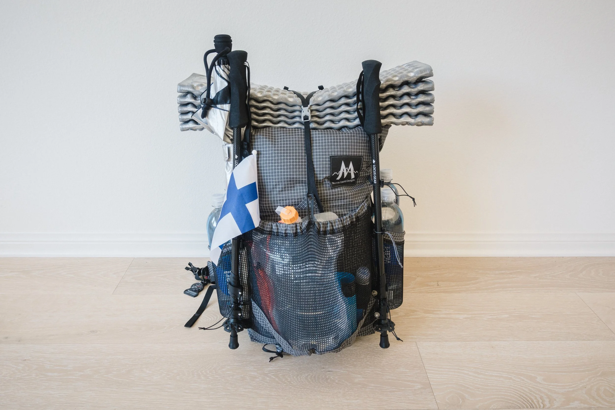
Base-weight (noun): The weight of your pack excluding food, water, and other consumables. Very important for Gram Weenies like me.

Bear Box (noun): Bear boxes are generally found in established campgrounds along areas of high bear activity. They are lockable bear proof boxes where you can store food and anything else that might smell attractive to a bear (cooking pots, toiletries etc.). The boxes are usually located a safe distance from tent sites.

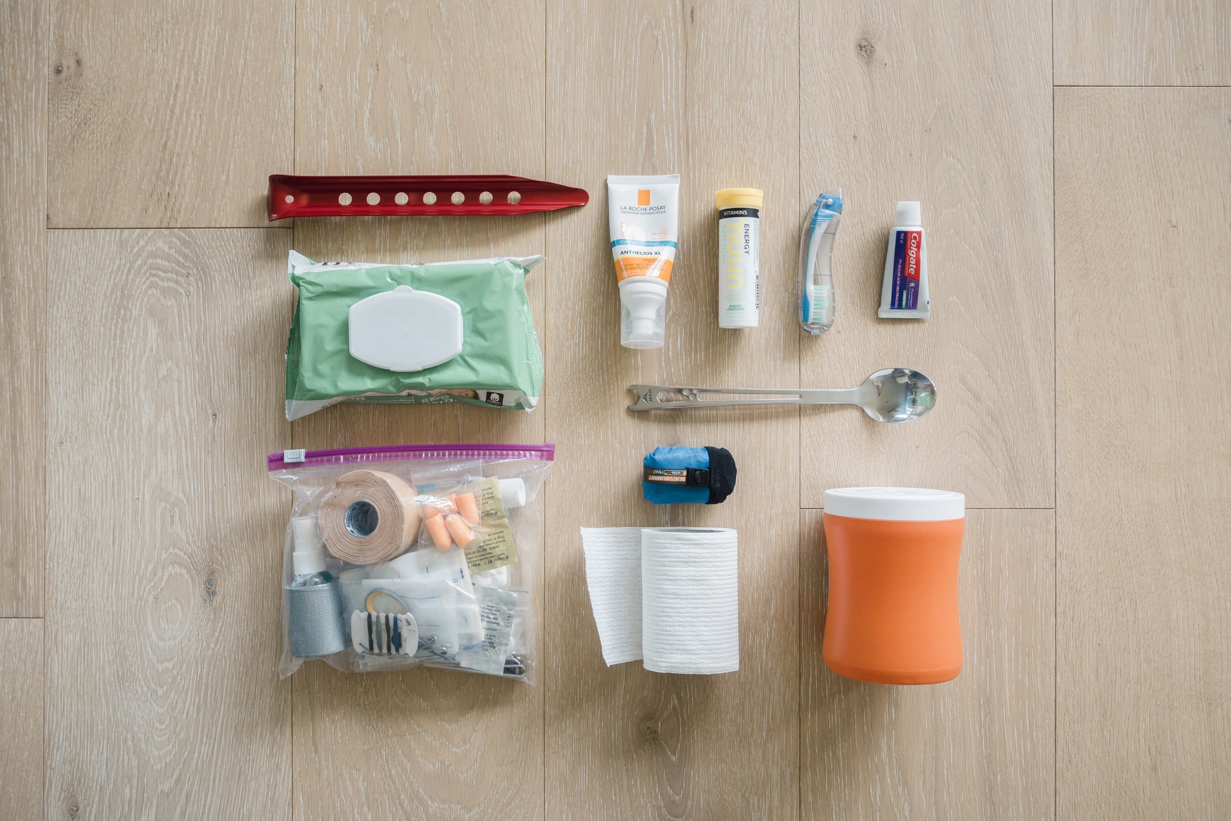
Bear Can (noun): Short for a bear canister. Similar to a bear box except that it is portable and designed to be carried by hikers. A bear can is mandatory in several sections of the PCT, mostly through the High Sierras. It should be stored at least 100 feet (30m) from your campsite but also well away from cliffs, ledges, and rivers. Bear cans are typically loathed by hikers because they are bulky, rigid and heavy. But they do make a convenient camp stool.

Bonus Miles (noun): These are all the extra miles that aren’t officially part of the PCT but will nevertheless need to be hiked during the course of a typical thru-hike. These include miles to and from resupply points, post offices, lodgings, off-trail water sources, scouting for sheltered and/or flat campsites, prospecting for a nice Cat Hole and the inevitable navigational mishaps.

Bonk (verb): Running out of energy to hike due to eating too few calories.

Bounce Box (noun): The Bounce Box is a package that you continually mail to your future self as you travel along the trail. Not all hikers use this.

Bubble (noun): Also known as the Herd (check below).

Cache (noun): Stuff that is stored or squirreled away in a secret or inaccessible location, for use at some point in the future. Trail Angels and hikers themselves have increasingly cached food and water along the trail, particularly in the dry desert sections of Southern California.

Cairn (noun): A man-made stack of stones indicating where the trail continues.

Camel Up (verb): The act of drinking as much water as you physically can when you are at a water source. The theory is that you over-hydrate yourself as much as possible to lessen the need for carrying heavy water. “Cameling Up” at a cache is not considered good trail etiquette. Instead, hikers should only take what they really need, leaving as much of this precious commodity for a potentially more desperate hiker behind them.

Cat Hole (noun): One of the cornerstones of LNT (Leave No Trace) philosophy, and also, considered good trail etiquette. It's a hole you dig to not leave your poop out on the trail. Cat hole should be 6-8 inches deep, 200 feet from campsites or trail, and far away from all water sources. You should always carry out your TP (and for the love of god, do NOT burn it!).

Cowboy Camping (verb): Sleeping outside in the wilderness without an overhead shelter (i.e. no tent or tarp). If weather, crawlies, and bugs permit, this is a fast way to setup and take down your camp. Also, a good way to enjoy the stars on a clear night.

Day Hiker (noun): A hiker who is only hiking for a day.

Dry Camping (verb): Camping without a nearby water source. For the most part, thru-hikers will want to camp close to a water source to save the hassle of lugging water to cook or to drink. In bear country, hikers often cook their dinner close to a water source and then carry on hiking for a few hours after dinner.

FKT (acronym): Fastest Known Time. Every few years someone will test themselves by attempting to hike from one end of the trail to the other, faster than anyone else has ever hiked it. If they accomplish this goal, they have the fastest known time. Current supported FKT is held by Karel Sabbe, who in 2016 finished the 2659 mile PCT in 52 days, 8 hours, and 25 minutes. That’s averaging over 50 miles (81km) per day.

Flip-Flop (noun): A tactic used to complete the trail in a single season whereby you do a section of the trail, then skip a section with the intention of going back and doing that section later. For example, in a heavy snow year, a thru-hiker might skip the Sierras, finish the rest of the trail and then return to the Sierras once the conditions are more favorable to finish off the missing part.

Floaties (noun): Any item found floating in your water after filling up your water bottles. Usually, poop.

Giardia (noun): A nasty intestinal parasite that causes acute stomach upset, chronic diarrhea, nausea, and all of the other associated unpleasantries. This unsavory little character is transmitted outside of the body via feces and seems to somehow always find its way into water sources. Giardia is a major incentive for thru-hikers to practice good trail hygiene, adhere to the LNT philosophy and always filter or treat questionable drinking water.

Glissade (verb): From the French word for sliding. In theory, glissading is a controlled way to expedite one‘s path down a steep slope of snow or ice by gliding gracefully on the feet or buttocks. In practice, it’s hikers sliding down snowy or ice-covered hills on their asses while having an incredible time. Also known as ass-path.

Gorp (noun): Another term for trail mix.

Gram Weenie (noun): A hiker who becomes obsessed with reducing his or her Base Weight. I would consider myself to be a Gram Weenie.

Herd, The (noun): A large group of thru-hikers that sets off together along the trail. Usually happens in the Southern California and thins out by the time hikers reach Northern California. The herd can cause congestion, overcrowding, and damage to the trail. Being behind the herd has the benefit of bountiful Hiker Boxes.

Hiker Box (noun): A box where hikers donate unwanted food or gear for other hikers. Typically found at resupply points along the trail.

Hiker Funk (noun): This obnoxious smell is the result of a unique combination of excessive sweat, economical use of laundry, irregular showering and a generally scant regard for personal hygiene.

Hiker Hunger (noun): Walking dozens of miles per day, every day, up and down mountain passes burns a lot of calories. Since you can only carry so many calories on your back, your body is constantly running a deficit and you are constantly hungry. This insatiable, bottomless hunger that torments thru-hikers is called Hiker Hunger.

Hiker Hobble (noun): A phenomenon where once the hiker removes his or hers backpack, he/she starts to limp and wobble. Usually, develops after the first hundred miles, and doesn’t let up.

Hiker Midnight (noun): 9:00 pm (although hotly debated). Most serious and well-mannered thru-hikers will be tucked up by this time so that they can get a good 8 hours of sleep and still be up at the crack of dawn.

Hiker Trash (noun): Hiker Trash is a term used to describes the consequences of living in the wilderness, surrounded by your own funk for months on end. Often confused with homeless.

HYOH (acronym): Hike Your Own Hike. Everyone's hike is different so be respectful of other people‘s needs, gear choices, pace, and so on. Not meant to be used as an excuse for acting like an asshole on the trail.

JMT (acronym): The John Muir Trail which overlaps the PCT for almost 200 miles / 322 km in the Sierra. JMT hikers typically head southbound while most PCT hikers head northbound.

LNT (acronym): Leave No Trace.

Mail Drop (noun): One of the ways for thru-hikers to resupply themselves with food, equipment, and other essentials while on the trail. Packages are sent for general delivery to post offices in towns along the trail where they are held until collected by the hungry hiker. As this method of resupplying depends on the inconvenient opening hours of post offices, many thru-hikers choose to resupply as they go and only send mail drops to locations where groceries are not available.

NoBo (noun): Northbound hiker.

Nero (noun): Nearly a Zero. A day when you only hike very few miles. Neros often occur when a thru-hiker arrives in a trail town and needs to take care of resupply, laundry, and other town activities before heading back on the trail.

Pee Rag (noun): A small piece of fast drying, absorbent fabric that some/most female thru-hikers carry on the outside of their packs. Helps to keep the Hiker Funk at bay.

Pink Blaze (verb): The act of hiking more quickly than you normally would, with the intention of catching up to a certain female hiker; to hike according to the schedule of a female hiker.

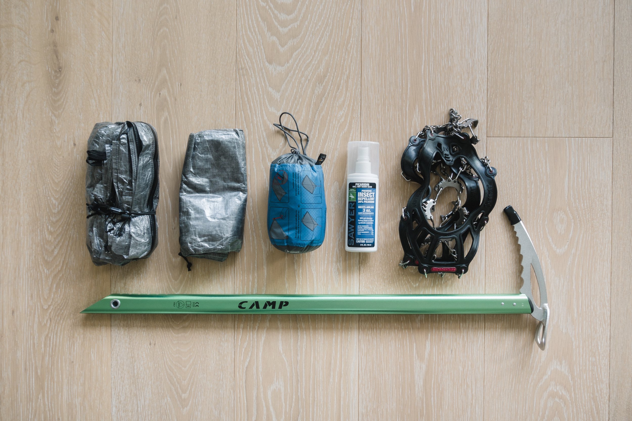
Postholing (verb): The term is derived from the hole that would be dug to sink a fence post into. When hiking across snow and your feet break through the snow your legs look like aforementioned fence poles sticking out of the snow. Postholing slows movement to an agonizing crawl, takes a ludicrous amount of energy and can be dangerous because it’s often impossible to know what's hidden beneath the surface. Postholing is one of the things hikers dread as they head into the Sierra. Can be mitigated by timing snow travel to early morning when the surface of the snow is still frozen from the night before.

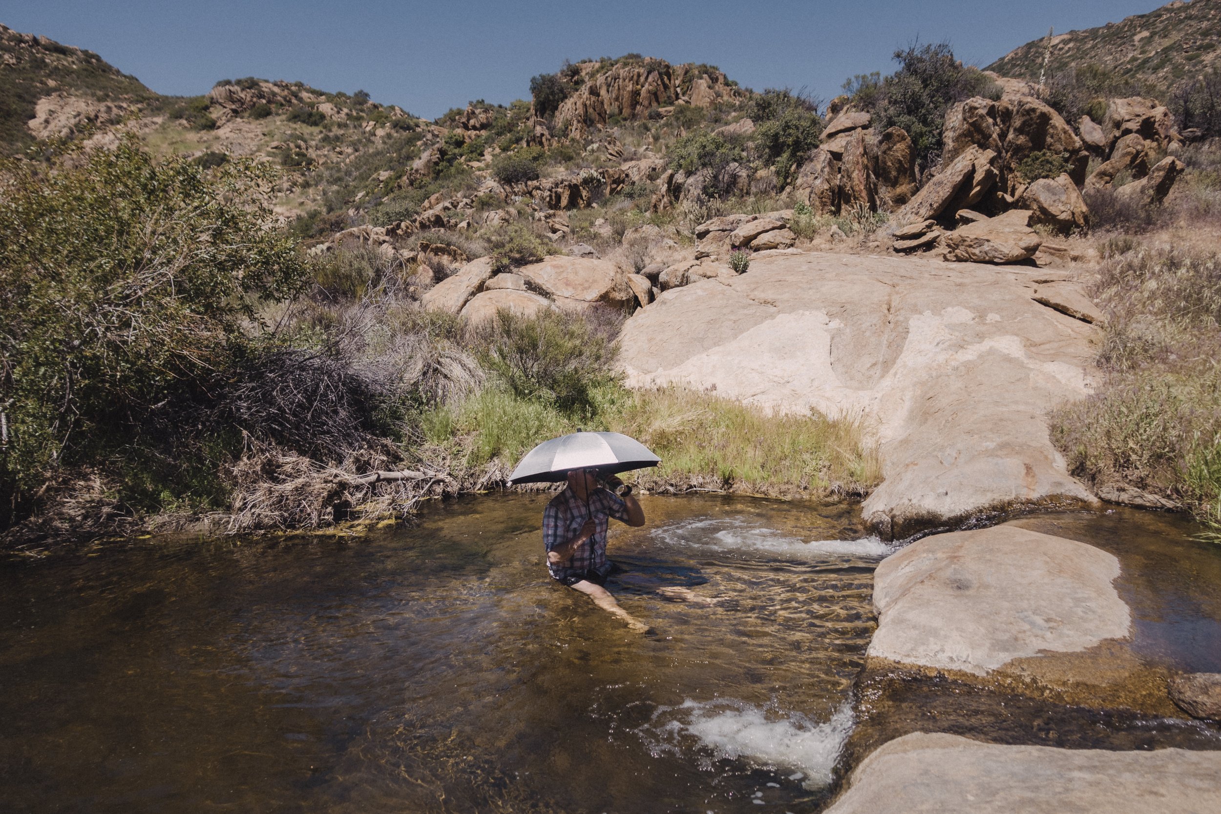
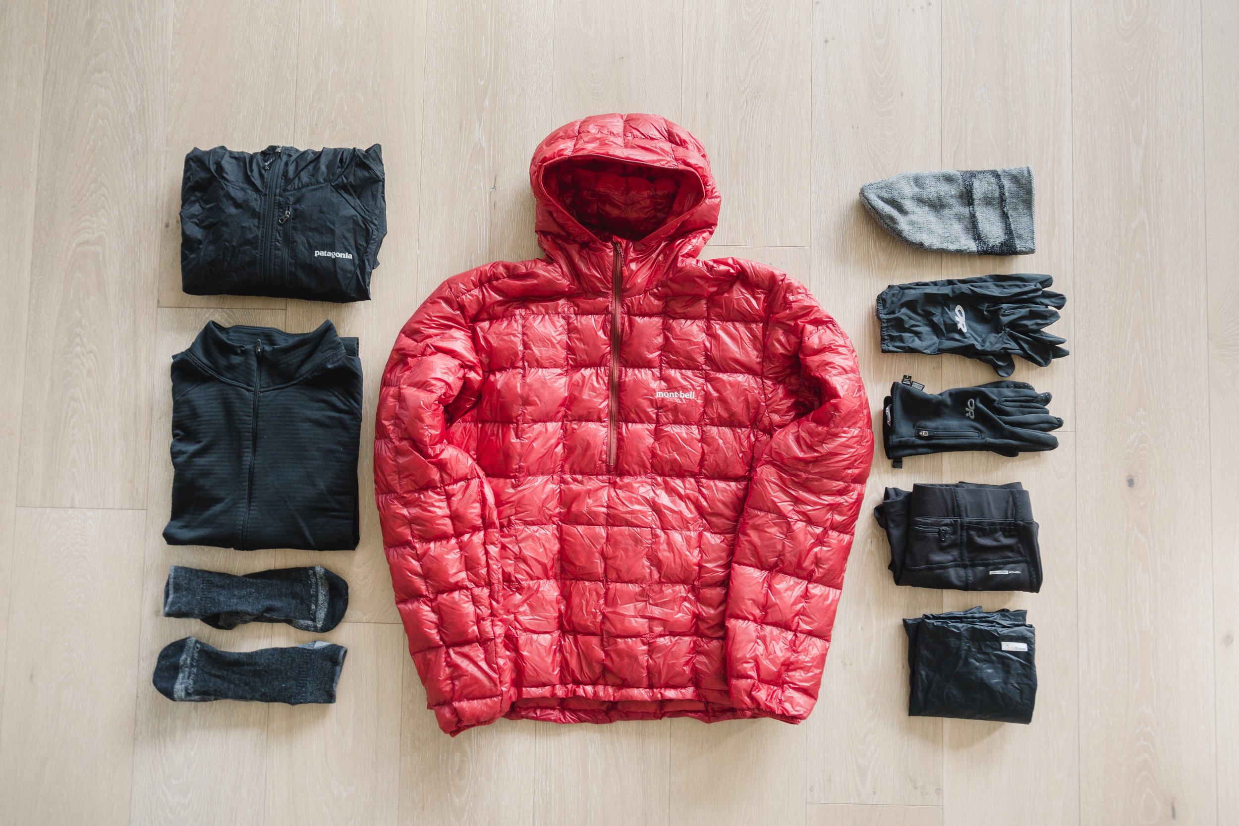
Puffy (noun): A name for a down jacket.

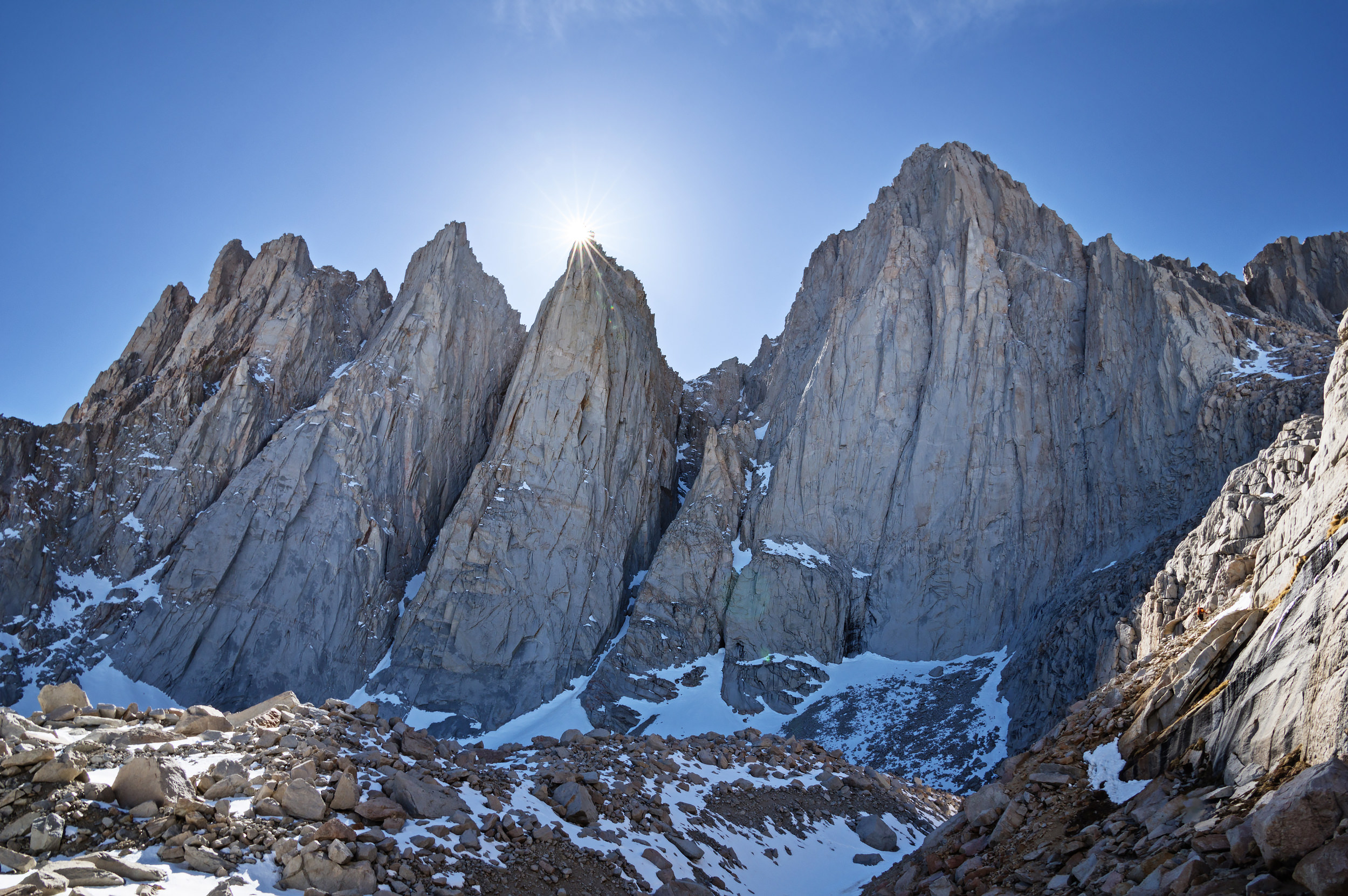
Ray Day (noun): June 15th. In an average snow year in the Sierra Nevada Mountains, Ray Day is the best date to leave Kennedy Meadows on a northbound thru-hike. Named for Ray Jardine, the Author of the Pacific Crest Trail Hikers Handbook. This date is based on two factors: it’s late enough to allow sufficient snowmelt in the Sierras for a safe hike, and it’s early enough to allow time to reach Canada before winter.

Resupply (noun): When a hiker hobbles out of the wilderness and back into town to get food and electricity.

Ride Bride (noun): A female hiker accompanying a male hiker when attempting to hitch a ride to town. A male thru-hiker who is accompanied by a female is far more likely to pick up a ride.

Section Hiker (noun): A hiker who's only hiking a section/sections of the PCT.

SoBo (noun): Southbound hiker.

Stealth Camping (verb): The term given to camping in an unestablished site or on land without permission from the landowner with the intention of not being seen. Offers a greater degree of solitude and can also reduce the chances of bear encounters.

Sun Cups (noun): An uneven surface of snow resembling a giant egg carton. As the snow melts in the spring, pockets of water form on the surface of the snow. This water warms up in the sun and causes the snow under it to melt faster than the surrounding snow. The resulting uneven surface is difficult to walk on.

Thru-Hike (noun): Traditionally a contiguous hike from one end of a trail to another. Usually, the term is only applied to hikes longer than 1,000 miles /1,609 km.

Thru-Hiker (noun): A hiker who is attempting to complete a Thru-Hike.

TP (acronym): Short for toilet paper. LNT code of conduct requires that if you pack it in, you must always pack it out.

Trail Angel (noun): A person who performs acts of Trail Magic and assists hikers expecting nothing in return, monetary or otherwise.

Trail Family (noun): A group of hikers that stick together and become very close as a result of their shared experiences along the trail.

Trail Legs (noun): About 4-5 weeks into a thru-hike your legs start to get used to the grueling long days and become incredibly strong, allowing you to hike for miles and miles.

Trail Magic (noun): Any random act of kindness that is offered or provided to thru-hikers. These amazingly generous deeds are like magic because they seem to always occur at a time or in a place when they are most needed; a water cache in a desert, a ride into town on a rainy day, or otherwise awesome occurrence.

Trail Name (noun): A nickname used by a hiker during their thru-hike, given by other hikers. An easier way of identifying hikers instead of their actual names, especially if you have numerous John’s on the trail. There are few unwritten rules when it comes to trail names. Generally, you don’t get to choose your own trail name, it is given to you by other thru-hikers and it will reflect your personality, appearance, style of hiking or some quirky thing that you do on the trail.

Trail Register (noun): A logbook, piece of paper, or otherwise inscribe-able object used for documenting hikers passing of a point on the trail.

Triple Crown (noun): The Triple Crown of Hiking is an informal title awarded to those who complete all three of the major U.S. long-distance hiking trails; The Appalachian Trail (AT), The Pacific Crest Trail (PCT), and The Continental Divide Trail (CDT). Only about 500 people have completed this 7,910 mile / 12,730 km feat of endurance. Only a small handful of hikers have managed to get the job done in a single calendar year.

Ultralight hiker (noun): A hiker who’s base weight is under 10lbs / 4,54kg.

Vitamin I (noun): Trail name for Ibuprofen.

Vortex (noun): Anything off of the trail that sucks a hiker in and is difficult to leave. A vortex will keep a hiker off the trail for an extended period of time.

Yogi (verb): The act of cleverly soliciting food, drink, rides, or otherwise useful things from unsuspecting strangers hikers meet along the trail, often without directly asking. From Yogi the Bear who managed to obtain picnic baskets from unsuspecting campers, though Yogi’ing doesn’t involve the same techniques. Yogi’ing is often done "Columbo style”, by striking up a conversation with a non-hiker, asking leading questions, and allowing the person to decide whether he wants to offer help.

Yo-Yo (verb): Whereupon reaching the end of the trail you simply turn around and head back to where you started. This is pretty rare but does happen.

Zero (noun): A rest day when zero trail miles are walked. Zeros are typically spent in trail towns or at the home of a Trail Angel but can sometimes be taken on the trail. Some zeros are planned, others are forced upon the hiker by injury or exhaustion.