Day 68: To Mammoth Lakes
Date: July 6, 2017
Miles: 6.5 miles (10.5km) + 3.5 miles over the Mammoth Pass (non-PCT miles), from mile 897.4 to mile 903.9.
Health: Tired and my right knee hurts a bit.
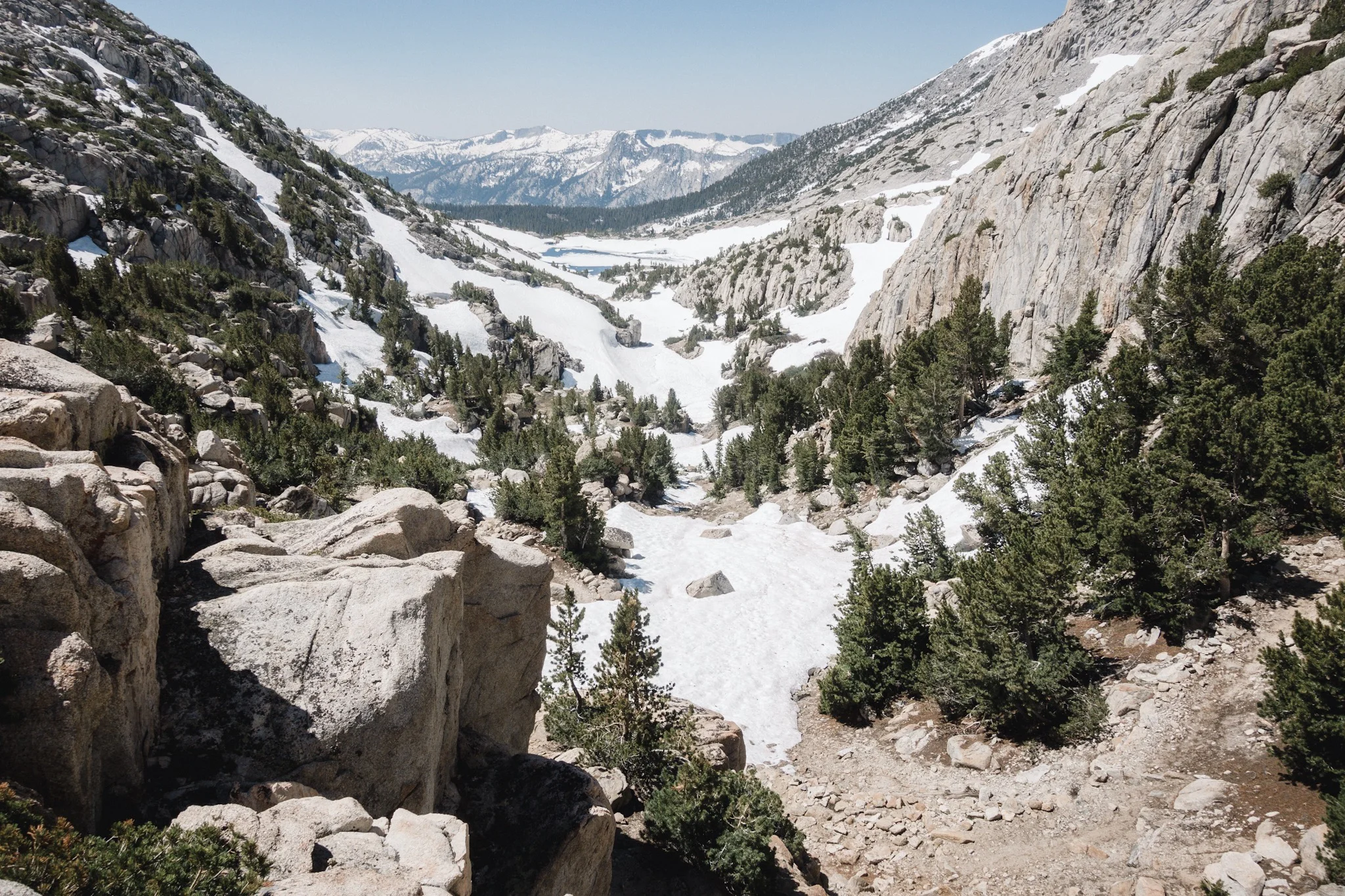
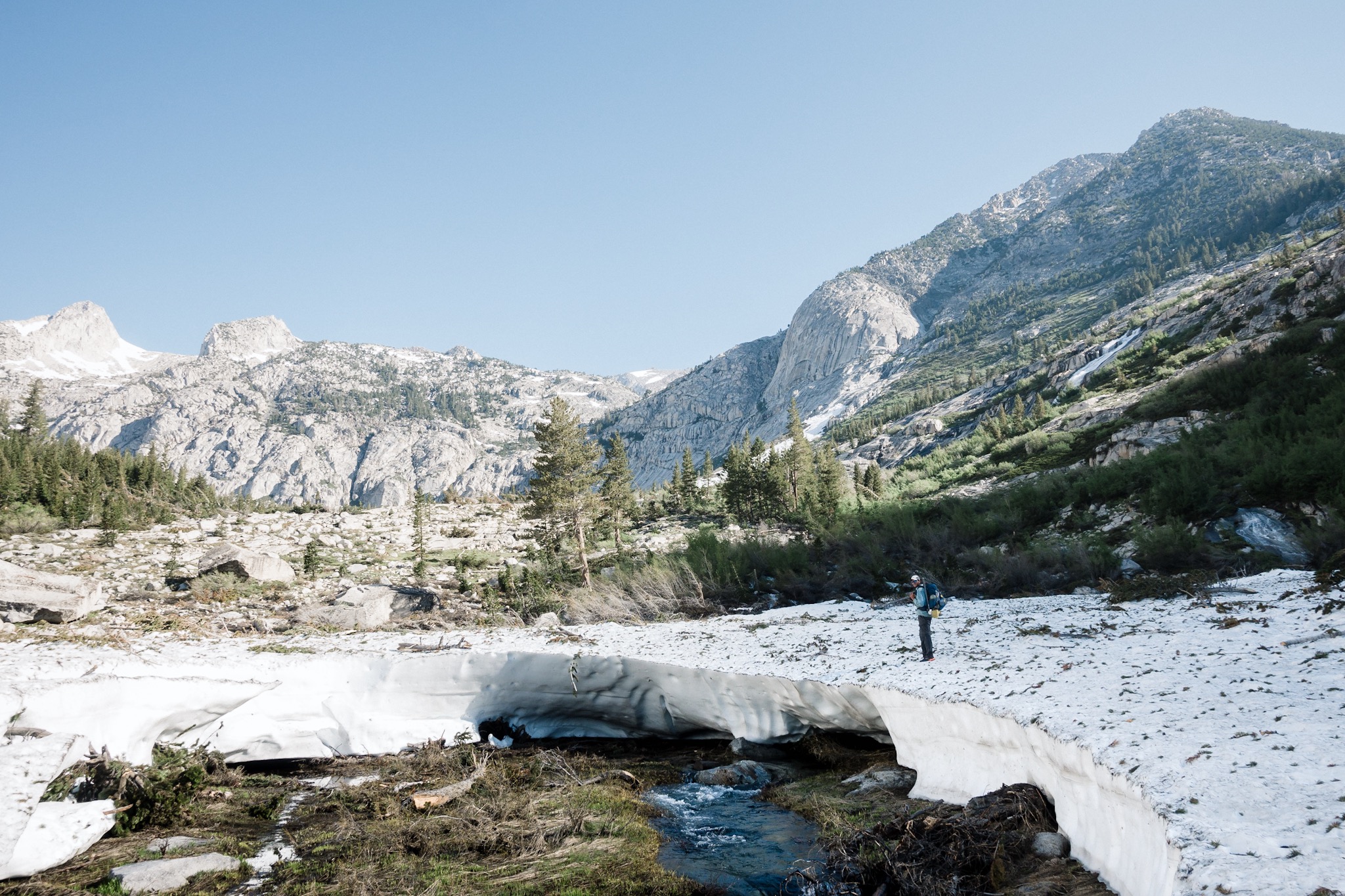
We're getting to town today. Finally! As we only have 6.5 miles on the PCT and then 3.5 miles over the Mammoth Pass to get out of the mountains, we get a late start at 6:30am. The long night of sleep felt good but my body is so beaten up that it's clearly not enough. Going through Sierra in record snow is rough!
As we're leaving the camp, I notice I have a rock in my shoe and stay behind as others head out. I shake my shoe and check my sock but as I but my shoe back on, the rock is still there. Annoying, but I have to get going. It's not a long hike so I'll just get used to it.
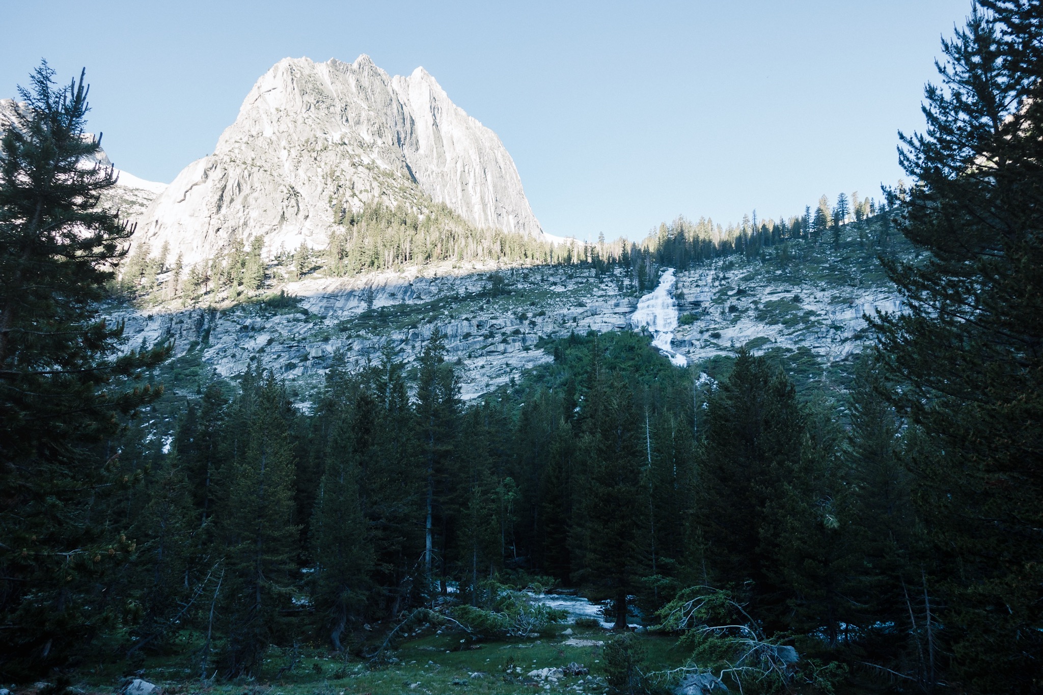
The trail follows along a mountain side and is quite easy. I soon catch the others and we hike on in a nice line, wiggling along the mountain. Spirits are high as everyone has spend almost two weeks in the mountains and getting to town is kind of a big deal.
My legs are not yet warm and my right knee starts to hurt. I slow down as I know that once the muscles warm up, I'll be fine. I still send a satellite message to Mikko in San Diego, asking if he could ship my knee brace on express to get it in Mammoth tomorrow. It might come handy on the next long stretch on snow.
I'm a little behind and hear yelling and hollering from ahead. As I reach others, I see them standing around the 900 mile marker. Can't believe we're here, 1/3 of the trail done. We take the mandatory photos and then hike on.

The spirits are still high but we soon hit snow again. We don't mind as we're going to town today. And then my phone peeps and I look down to see I have reception. Everyone takes out their phones and for awhile we all hike with our phones out, checking real world stuff (read: Facebook).
Then we get down in a gulley and lose the reception. Back to hiking and looking at the nature.
After a while we get the reception back and I call my parents who are at their summer place. My brother is there as well with my nephew and niece. We FaceTime for a good while. It's great to talk Finnish for awhile, and to talk with my family. Then I call my other brother to catch up with him as well. Time goes by quickly when you're distracted and we soon reach the junction. Awesome!
I'm getting really hungry as I didn't feel like eating a Clif bar or a Pop Tart for breakfast. I've eaten way too many of them on this section and the shear thought of one makes me gag. And that's all the food I have left. I sure I can make it to town without a breakfast.
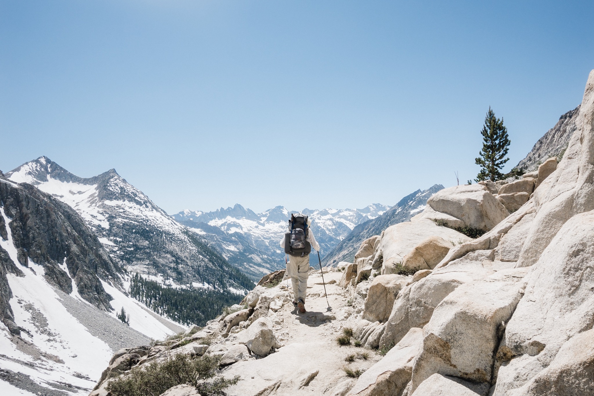
As we head on the side trail leading to Mammoth Blis comments how it's all downhill from here. I celebrate in my head thinking it's just what I needed. A quick hour long downhill walk and then we're in town.
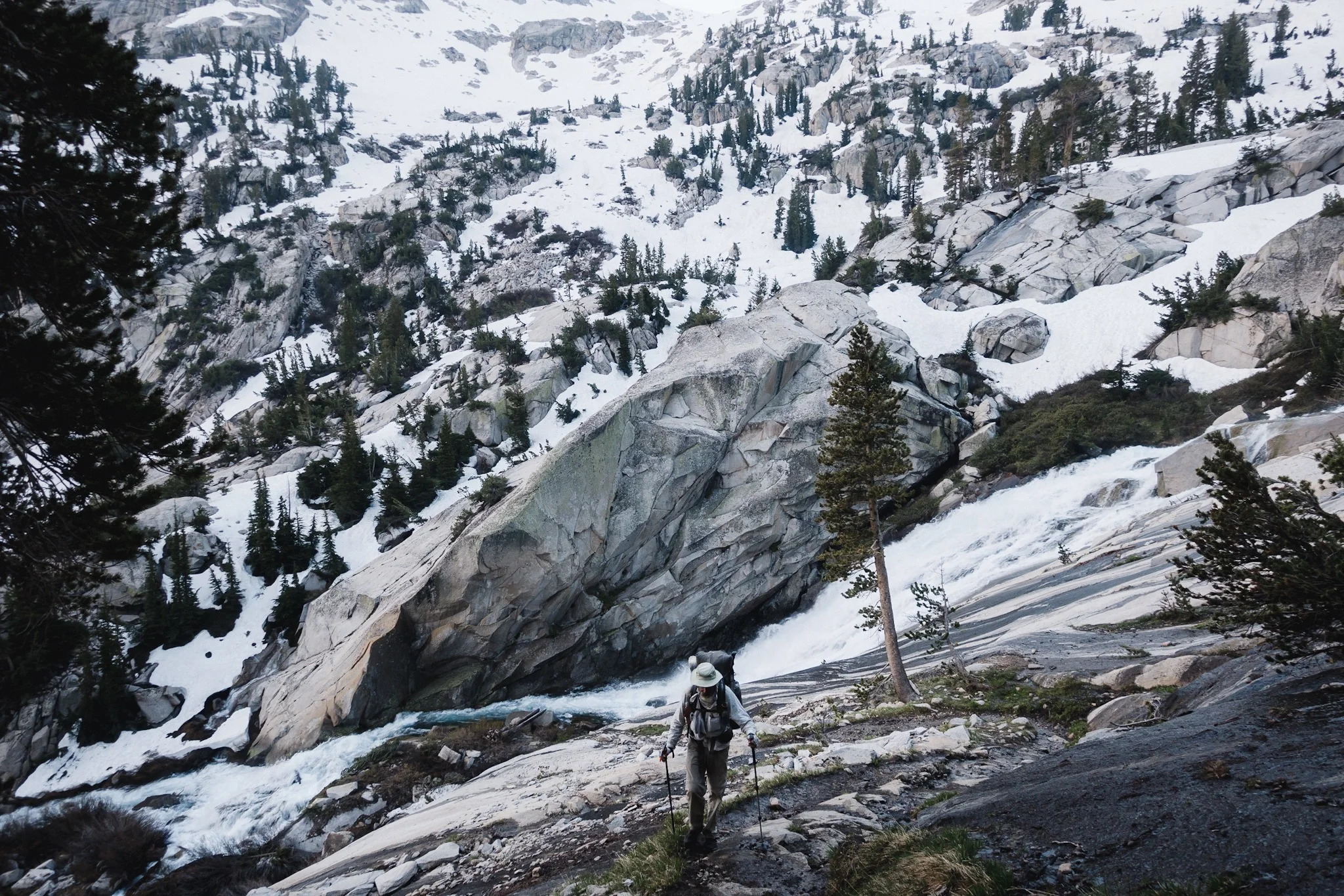
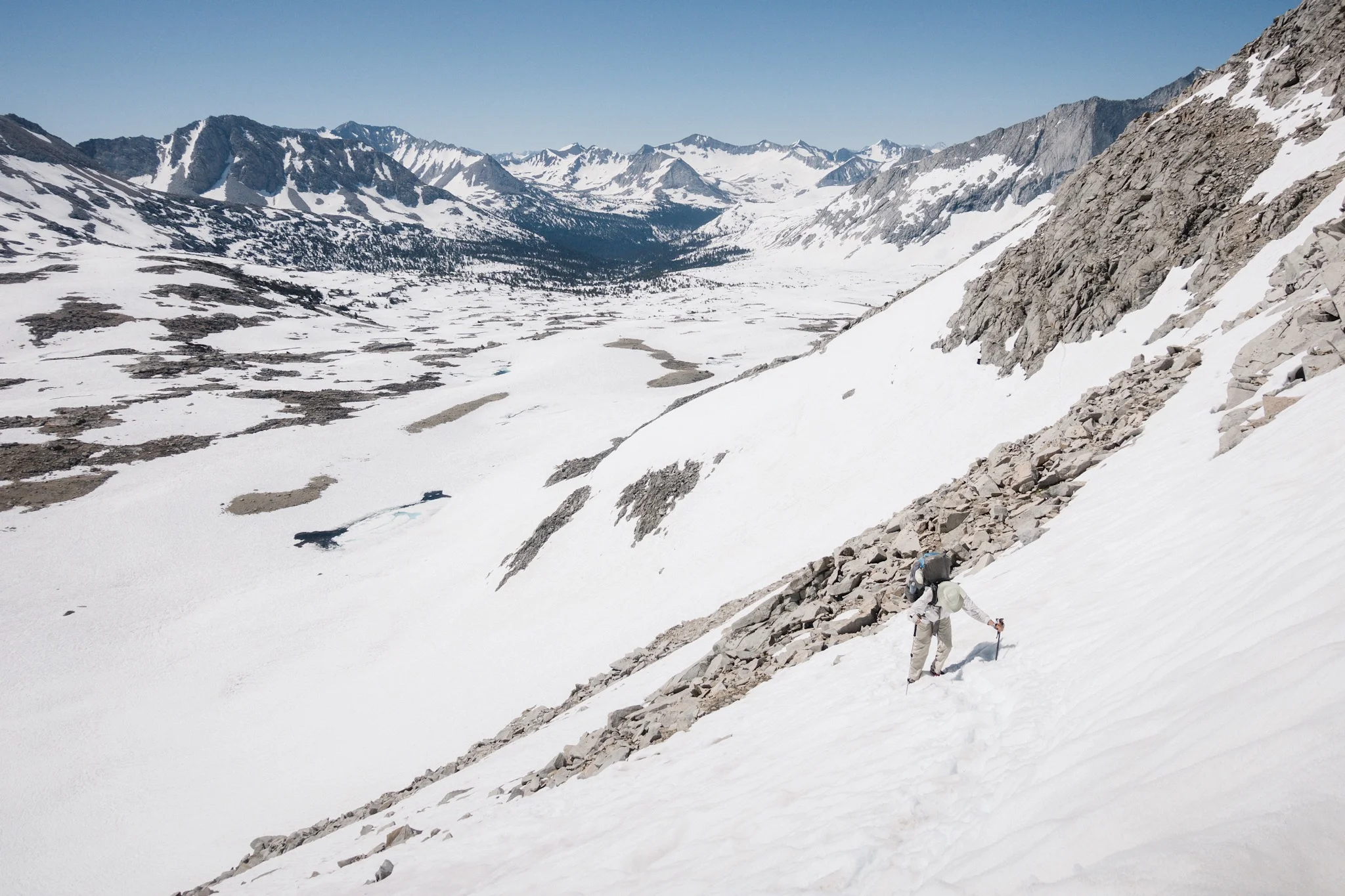
Well Blis wasn't quite right. We start climbing and lose the trail due to the snow. This is part for the course while hiking in Sierra but when you're hungry and expecting an easy downhill walk to town, not good. I start cursing at the snow and feel really hangry. I take the Clif bar from my pocket but can't make myself eat it. I just have to make it to town.

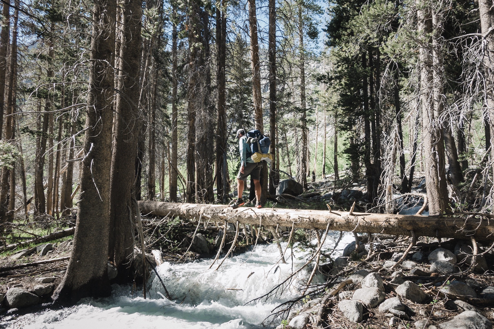
Happy Feet hopping over a fallen tree.
We hop over fallen trees, climb hills and head high snowbanks. Getting forward gets slow and hard. I start cursing more and more in my head and few times some of those curses get out. Airplane Mode tries to cheer me up with her list of "reasons I like snow". It's a good list but I'm too deep in the "I hate snow" mode. She senses that and switches to reverse psychology and starts cursing at the snow more than I do. I can't help but start laughing. That was a great move!
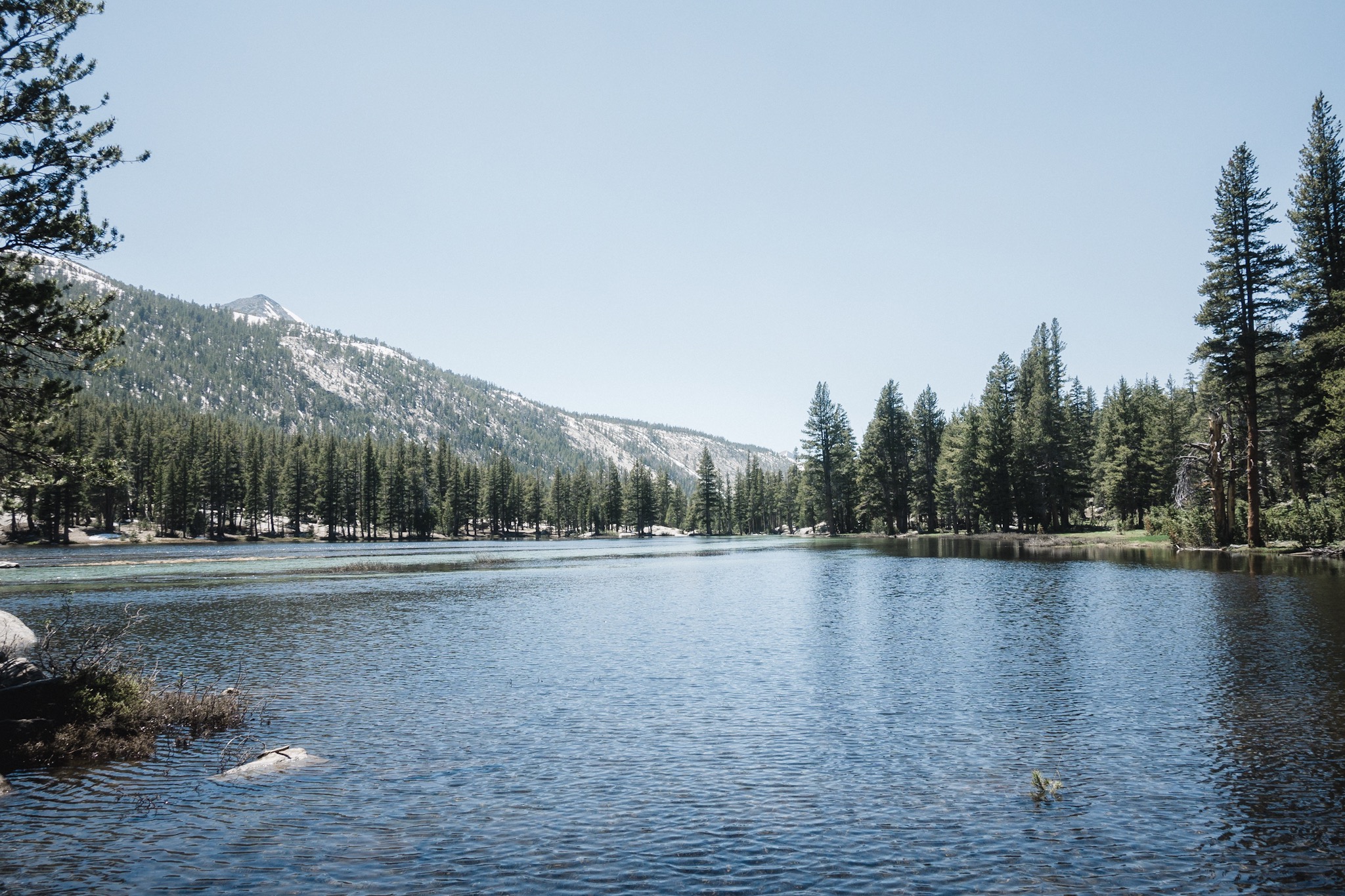
As we walk along, Airplane Mode cursing at the snow and me laughing behind her, we reach the last lake before the trailhead. Airplane Mode decides to bet me a large pizza in town if I jump into the lake instantly. I ask if I can take my clothes off and she says no. I have to jump into the lake and stay under water for 30 seconds. I throw my backpack to the ground and jump right into the lake. Blis and Airplane Mode take a video as Airplane Mode does her best to count to thirty as slowly as she can. The water is ice cold but hey, free pizza!
Soon the thirty seconds are over and I climb out. I'm soaking wet and we still have 0.4 miles to go. Hopefully that's enough time to dry me out. I put my backpack back on and start hiking to warm up.
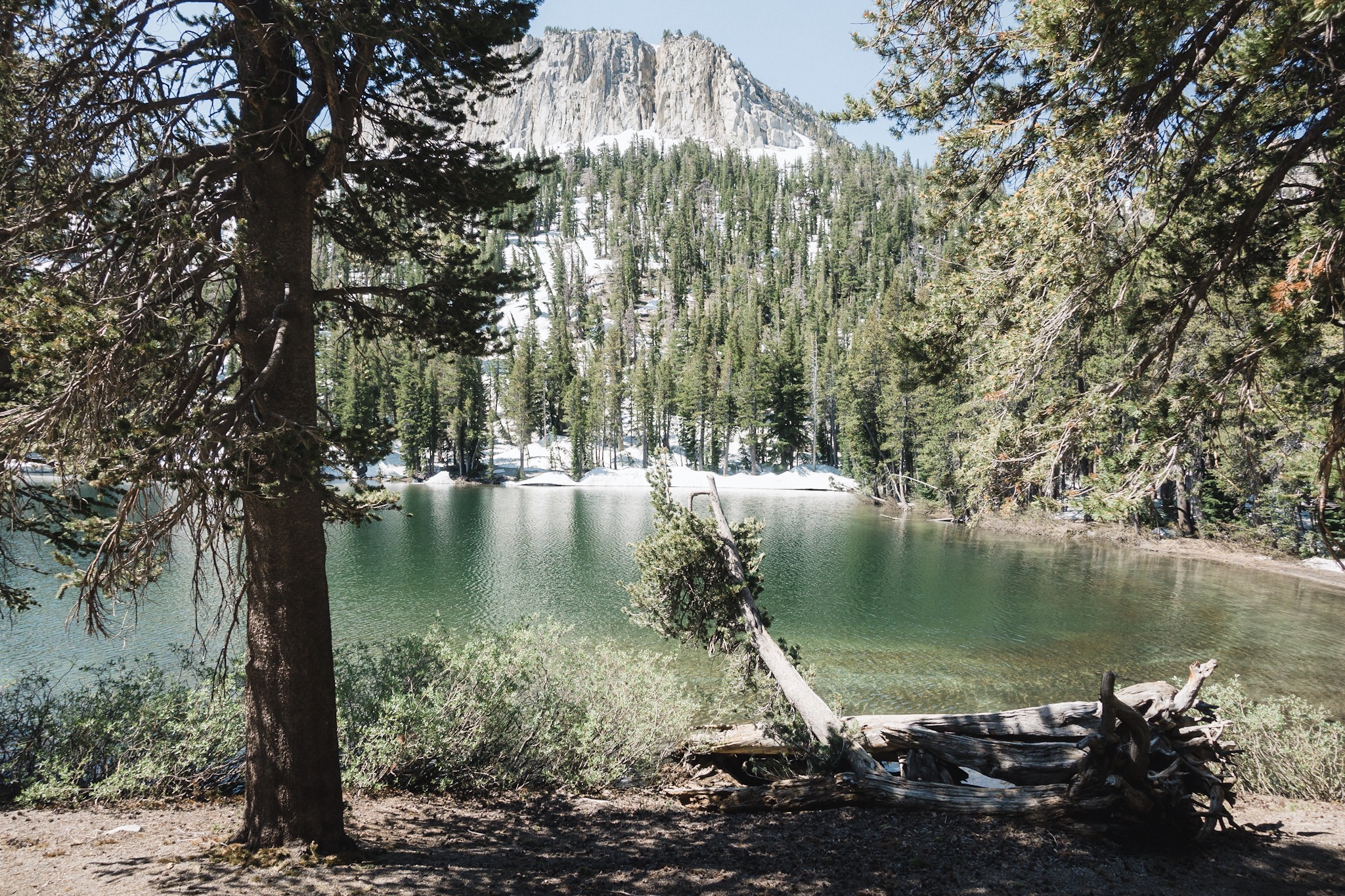
The lake I jumped into.
We reach a downhill with large patches of snow and no sight of the trail. We start just walking downwards trying to maintain course. Suddenly I'm again in a really good mood. And wet. I try to only walk in the sun to stay warm and to dry.
Once we get down we see the trailhead and the cars. Civilization! We speed up as we see the trolley that would get us down and to the town. The ride is free and we hop on.
As the trolley doesn't have any windows, it gets pretty chilly as we're moving and Blis offers me his jacket as mine is buried deep in my pack. I'm still quite wet so the wind chill is pretty chilly.

Reaching civilization again.
After a short drive we reach the town but have to switch to another trolley to get down to were our motel is. While we wait for it, I dry myself in the sun.
In the first trolley we met a young guy who likes hiking too and he asks if he could hang with us while we're heading to the same direction. He seems fun and new company is always appreciated. He's about the same age as Indigo and Juniper.
After the second trolley we reach our hotel but everyone's so hungry that we decide to eat first. We hit the pizzeria close by and Carlos, the young guy we met, joins us. I also spot DG on the other side of the road and he joins us too.

Our ride back to town.
It turns out DG and Topo got to Mammoth yesterday. They had seen my note on trail but went on, thinking I would catch them before the next pass coming out of VVR. We did a short day then and stayed a half a day behind them.
We get in the pizzeria and soon Topo also joins us. Carlos buys the whole table pitchers and we happily have a few breakfast beers.
After stuffing our faces full of food, soda, and beer, we walk across the road and Blis and I get our room. Airplane Mode already got herself own room and Blis, Happy Feet, Indigo, Juniper, and I are sharing another room. Only me and Blis show up at the reception as places usually charge more if there are more than two in the room.
After showers and putting our clothes to laundry, Blis and I head to old part of Mammoth to do some gear shopping. I need new shoes and socks. My last pair of Injinji socks got a hole in them and I accidentally burned my last pair of Darn Toughs as I was drying them on fire. And my shoes are starting to break up and have no more cushion on them. No wonder as I've walked with them since Idyllwild, a good 750 miles (1,200km) back.

The crew.
We get to the outfitters and I find my shoes soon. Size 10 Altra Lone Peak 3.0's. New color this time to get some variation on what I look down all day long. I also buy new Darn Tough socks.
Blis needs a lot more. He's been having trouble sleeping on his 3/4 length XLite pad due to his legs hanging out (he's tall), and because his elbows fall off the pad. He gets the XLite in large, which means it's longer but also a lot wider. He also gets new shoes as his are also destroyed, but doesn't get new microspikes to replace his broken ones. With the reports we keep hearing, we might not need microspikes anymore. He also gets new tips for his Leki trekking poles. Those are his third replacement tips so far. Mine are still like brand new.
KB, Dandelion, and Fireant are also in town and we keep messaging back and forth. It's great to be able to communicate with people again. On the way back we run into Fyre and Day Tripper. We didn't know Fyre was here and we're so happy to see her again. We thought she might have flipped north like most others did.
We talk for a while and then Blis and I head back to our motel. As soon as we get there we just fall on the beds. The room is quite small even for two, but with five people and everyone's gear, it's quite tight. But we make it work.
As I was walking back, I noticed that I still felt that rock in my shoe even though I was wearing my new shoes. Strange. At the motel I look at my foot and notice a small bump at the bottom of my left foot. As I touch it, it hurts. This is why I've been limping all day. The bump is in a place where I can't quite see or reach it. Indigo helps me and after a short investigation she notices that there's a splinter inside. She gets out a needle and tweezers and gets it out in couple of minutes. It hurts quite a bit as it had infected already. No wonder I was limping.
In the evening Blis's sister comes to visit and we all go out to eat Thai food. At the restaurant Fyre and Day Tripper happen to come to the same place, and then Dandelion, Fireant, and Roadrunner join us. It's so great to see everyone.

Blis's sister came over to say hi.
Dandelion and Fireant are heading out tomorrow but we keep telling each other we want to hike together again. We'll be only a day behind so there's a very good change we'll catch them. I so miss hiking with them!
After a long and laugh filled evening everyone starts to feel tired, it's already eight o'clock. We head back to the Motel 6 and pretty soon everyone's in bed. Blis and Happy Feet share one bed while Juniper and Indigo share the other. I take the small spot on the floor as I don't mind. I really enjoy sleeping in my sleeping bag.
It's so great to be back in town. Tomorrow's a zero and the day after we nero out of town. I'm going to just rest and do my resupply tomorrow. And work on my blog all day.
Sponsored by:
![]()