Day 66: Vermilion Valley Resort

Date: July 4, 2017
Miles: 7.6 miles (12.2km), from mile 873.5 to mile 881.1.
Health: Feeling really great. I'm ready to start doing longer days and hit Northern California.
My alarm went off at 4am but I snoozed it until 5am. I only had to do about 5 miles to the VVR junction and then about a mile to the ferry. The ferry was leaving at 9:45am so I had ample time.

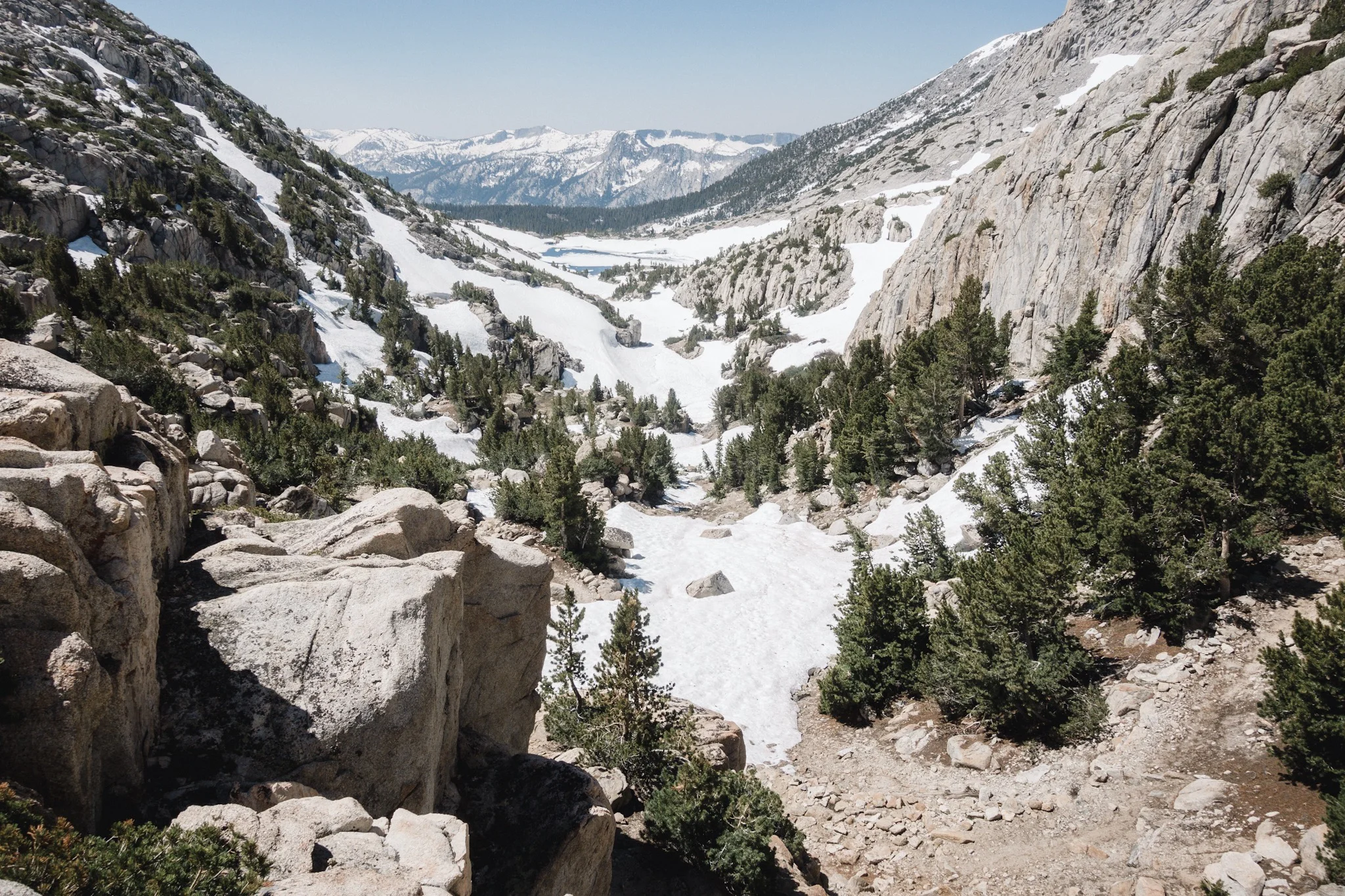
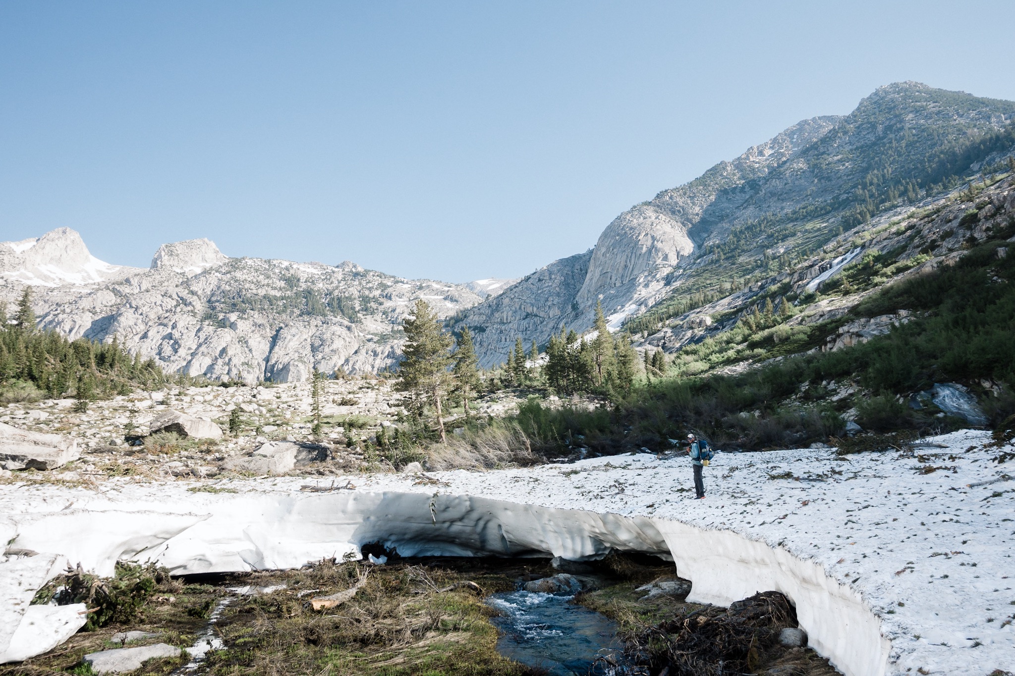
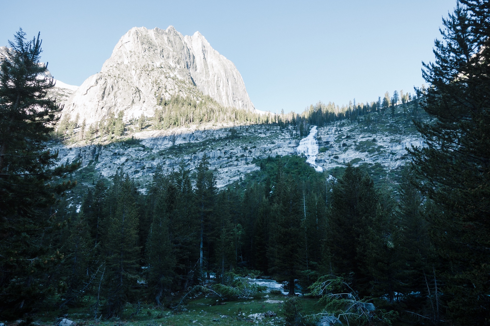
Morning views.
Stopping early yesterday meant that I got to sleep a lot. Which I felt in the morning. I felt really good and like I'd want to hike long today. But today I was going to Vermilion Valley Resort to get a small resupply and charge my electronics. My InReach had died yesterday and my phone was running so low that I'm not sure I could make it to Mammoth with it.
Before leaving camp I leave a note on the trail for Topo and DG that I'm going to VVR today.

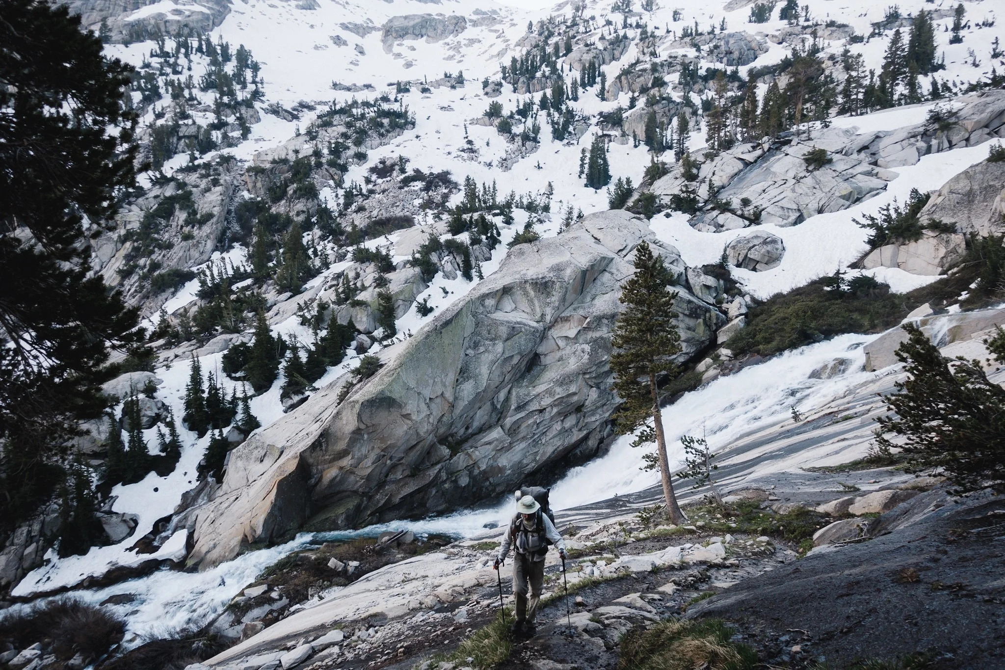
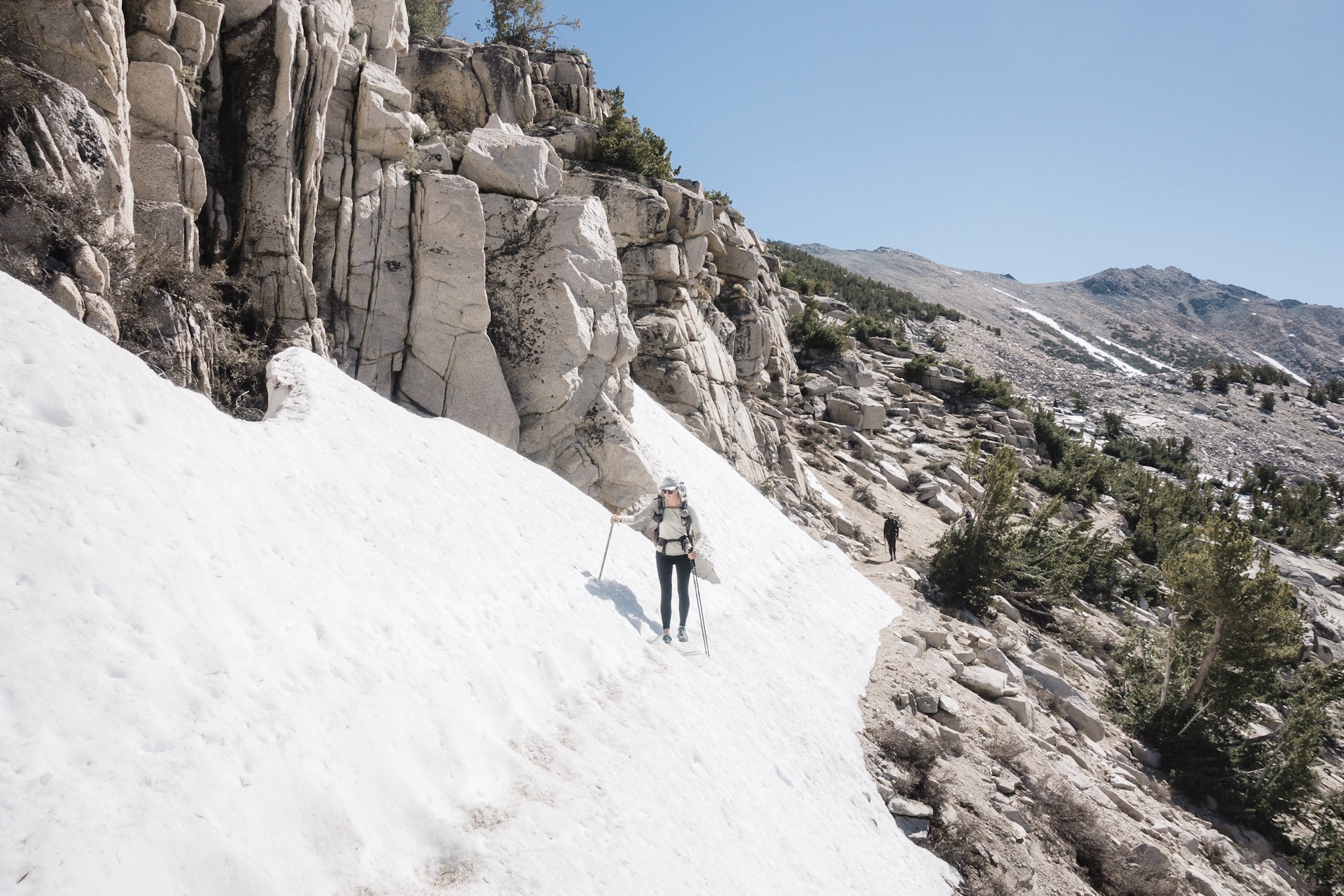
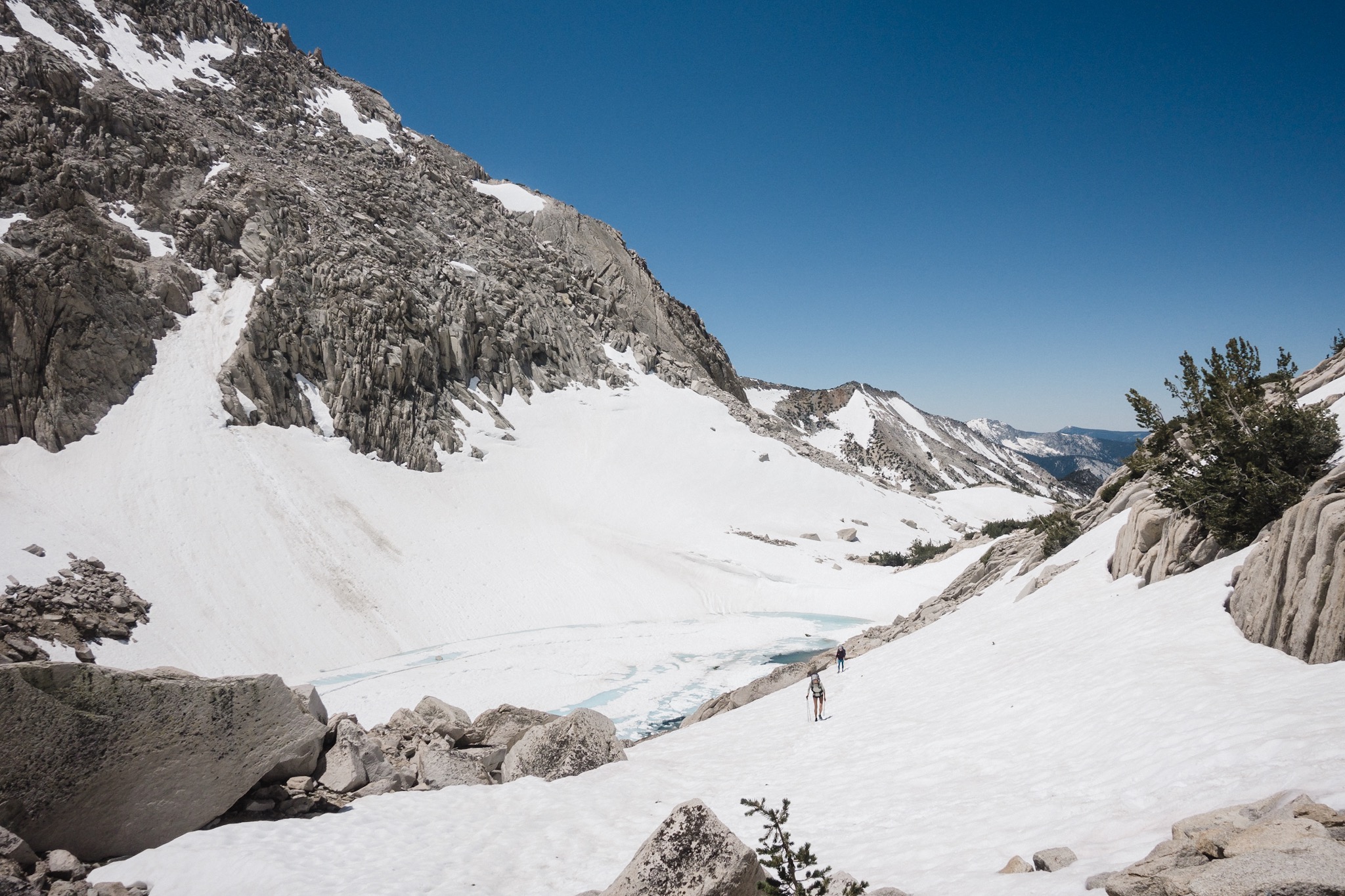
The trail climbs about 1,000 feet from my camp spot before descending over 2,000 feet down to the valley where the ferry to VVR leaves from. I take the climb quite easily and make it up in no time. I guess doing over 5,000 feet of elevation gain every day has its benefits.
As I get to the top of the climb the mosquitoes come out. It's not like in Finland, but they sure are annoying. I keep a little faster pace to outrun them.
At one of the trail junctions I notice a note on the sign. It says: "Reindeer and Topo come to VVR. B". Who is B? I hike on wondering who is B but can't think of anyone.

Then the trail starts going down. It's like a switchback after switchback. The trail is quite easy and I make good time. Soon I start hearing the river down at the bottom and little after that I reach the bottom. Less than a mile and I'm at the junction.
I leave the PCT to head towards the ferry. The trail gets a lot muddier and the mosquitoes more hungrier. I'm wearing my Houdini jacket so my torso and hands are okey but they are hitting my legs. I stop and take out the bug spray. After few sprays I get to hike in peace again.
I soon reach the ferry but there's almost no one there. There are only two lovely ladies who are heading out to hike the surrounding area. We chat while they setup their gear and I wait for the ferry. They ask about my gear, about the passes and snow and river conditions. They are also heading to Mammoth later and we might meet up there again.

On the ferry over to VVR.
Then the ferry arrives. It drops three hikers and I'm the only one going in. Weirdly quiet for the 4th of July?
I speak with the driver and he tells me there were over thirty hikers coming in yesterday and that most of them got wasted last night and are still sleeping. We also talk about the lake Edison we're on and how it's a manmade lake. Then I realize, Blis! Of course, it was Blis who left the message. Oh man, maybe I caught up to them? I so hope he's still in VVR!

VVR.
Once we get to the resort I get a quick rundown on where to go and what to do and then I head towards the main building hoping to score a burger.
As I round the corner I see Blis and Airplane Mode sitting there. I casually walk up to them and it takes them a moment to notice me. And then we all start yelling. It's so awesome to meet them, and especially after spending almost two days alone.
We hug and share stories from the trail. Also Happy Feet is there, as are Indigo and Juniper. Also Taylor and the Swiss and the Jew Crew (that's what they call themselves) are there.

James and Happy Feet.
The breakfast has just ended but I get a soda and a bag of salt and vinegar chips. I love these chips! I also get a free beer, as do all the hikers coming to VVR. I really like the place!
We sit with everyone and talk. It's good to see everyone again. It's been over a week since I saw Blis and way longer the last time I saw Airplane Mode. Juniper and Indigo are new to me. I later learn they started the trail from Tehachapi.

Ready to head back out.
When the lunch opens, we all move to the terrace and order cheeseburgers. It's so good to have real food instead of Snickers and Clif bars. I have to be more careful with my next resupply as this one was a disaster.
Blis and his crew are heading out on the 4pm ferry and I decide to join them. While the VVR is great, I want to make it to Mammoth and do a proper resupply. I buy some Idahoan potatoes for dinner for tonight and tomorrow and that should be enough. I also get to recharge all my devices.

There's a very poorly working wifi but it only gives you maybe one or two Instagram photos before crapping out. Not even enough to check email. And no phone reception.
We relax all day and then finally time comes to get back on the trail. I weight my pack before we leave and depending on the scale, it's either 21 or 27lbs (9.5 or 12kg). With the Sierra gear, only a couple days of food and a liter of water, I'm pretty sure the it's closer to 21lbs.

Going out the ferry is almost full. I learn that about halfway through the lake you get cell reception and once that happens every hiker has their phone out. We still had some reception at the end of the lake so people just stayed at the beach, checking their phones.

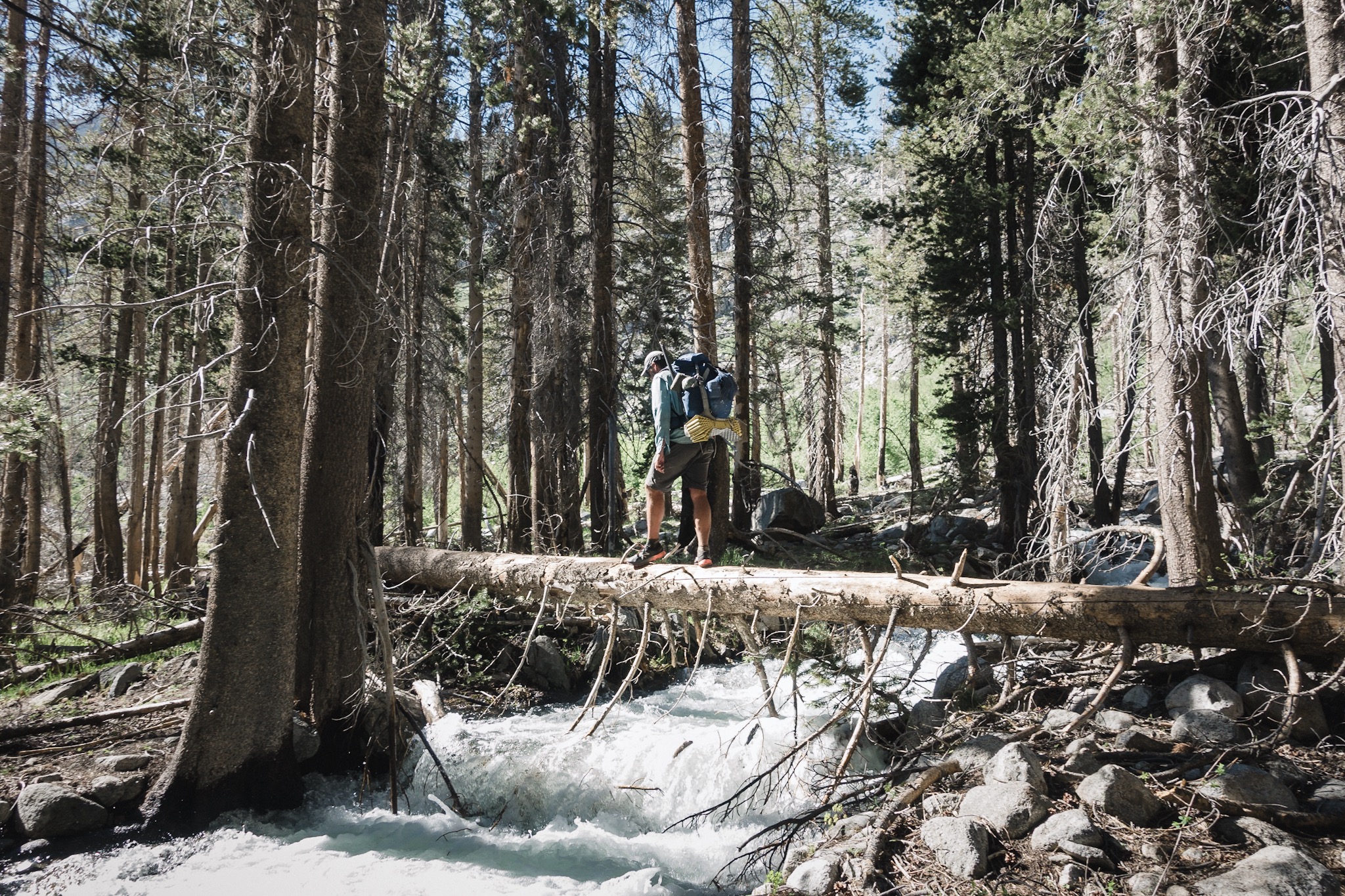
Juniper crossing a stream over a log.
We soon hiked out and got back to the junction and the PCT. We're setting up going over the Silver Pass tomorrow but it's not far so we only can do very few miles. We climb little over 1,000 feet and cross the Mono Creek over a log. Usually you'd cross the creek higher, on a waterfall, but this time of the year there's so much water that it would just sweep us down the waterfall. As we look up, we can see the crossing and the waterfall and it would be a pretty long drop.
We decide to camp here and deal with the second waterfall in the morning. We need to cross the Silver Creek high on a smaller, but still quite scary looking waterfall.

Indigo about to cross Mono Creek over a log.
As we sit by the fire drying our gear, two JMT hikers come down from the waterfall and we get to see what it looks like. It's going to be an interesting morning tomorrow. We offer them marshmallows and they warm their cold hands on the fire for a while. Then they head out, going towards the VVR junction.

S'mores.
We sit by the fire eating dinner and sharing stories until 9pm rolls in. Hiker midnight. Everyone goes to bed and I stay over to make sure the fire is properly put out. A small mouse keeps me company while I warm my feet on the hot rocks around the fire pit. The stars are out and it's so beautiful. I still can't believe I'm here and doing this every day. It feels surreal. And the Sierra are so unbelievably beautiful. If I didn't have to get to Canada before winter, I could just stay here and wonder around these mountains all summer long.

Blis and Happy Feet.
Sponsored by:
![]()