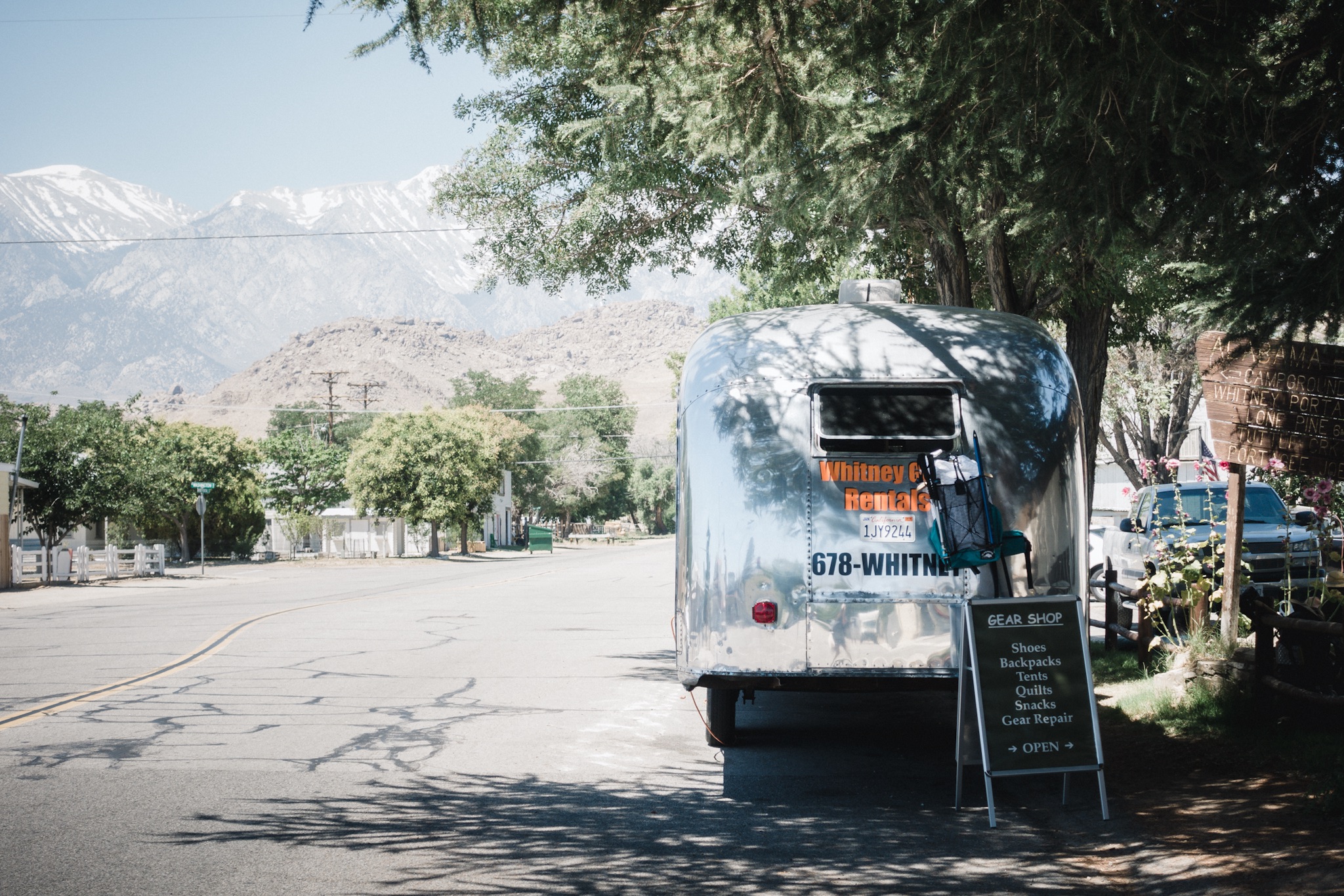
Day 60: Water, water, everywhere

Date: June 28, 2017
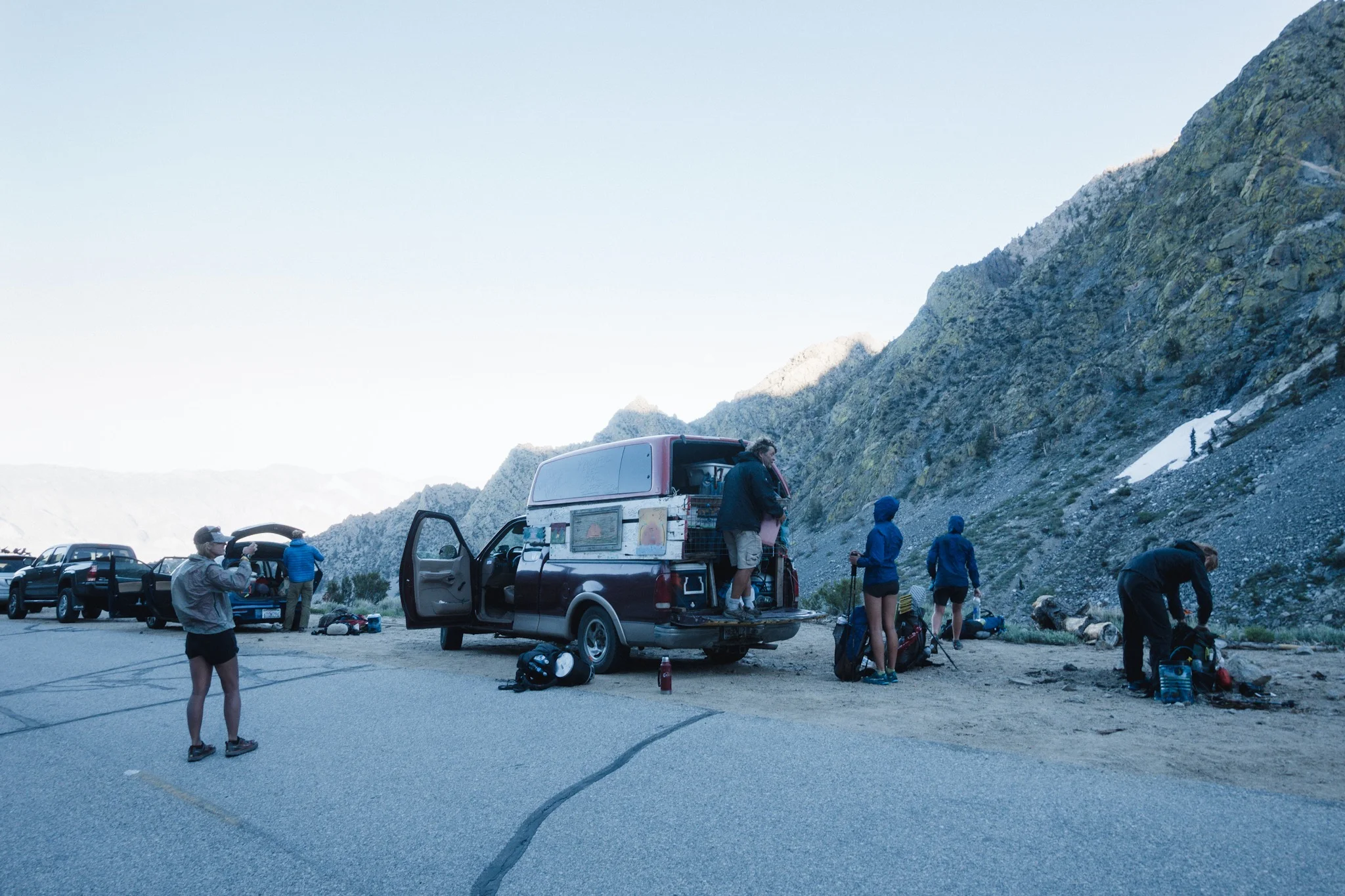
Miles: 6.1 miles over Kearsarge pass, non-PCT miles (9.8km) + 10.9 miles (17.5km) from Kearsarge Pass Junction to mile 799.7.
Health: Felt tired in the morning but feeling great.
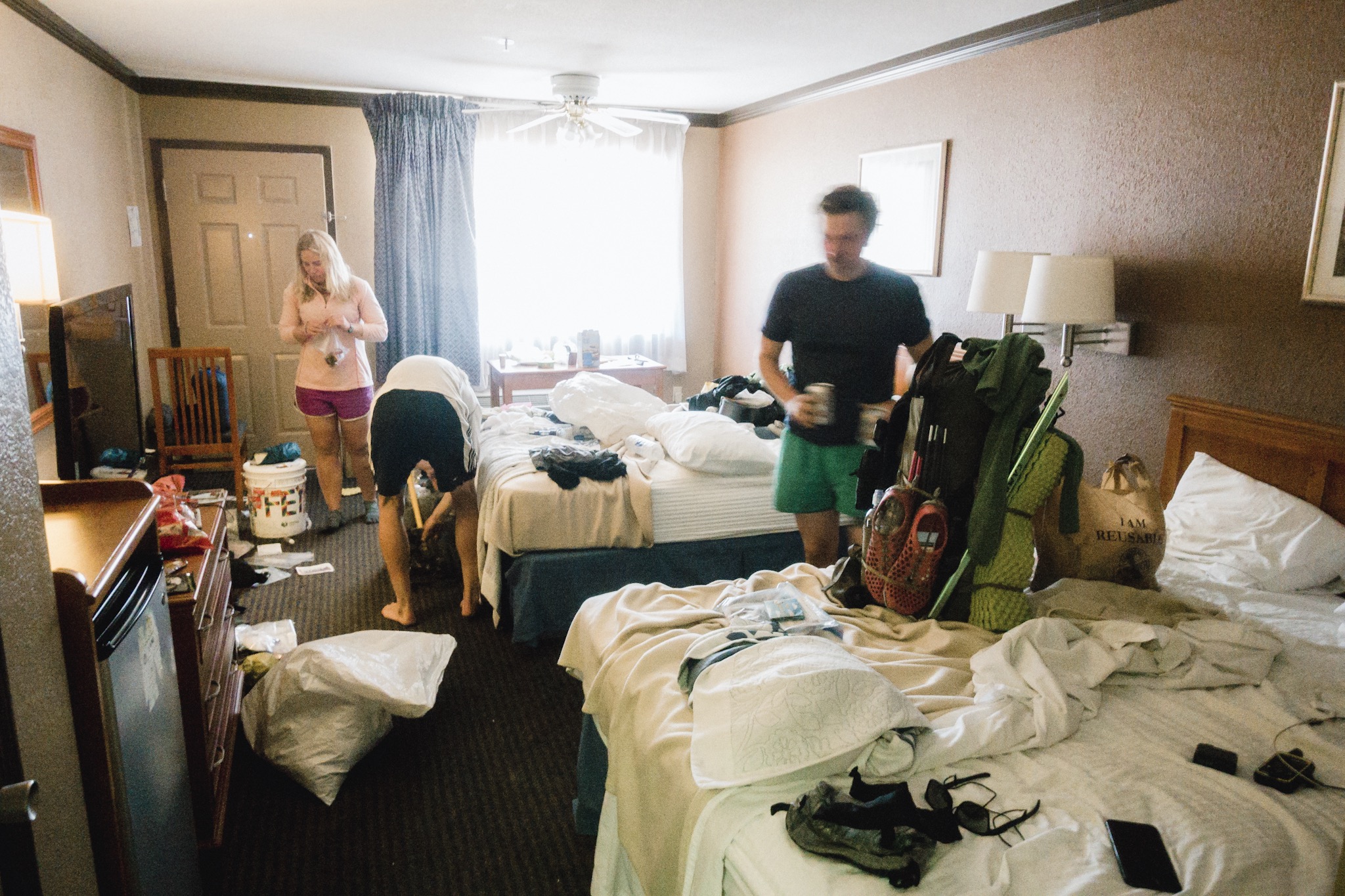
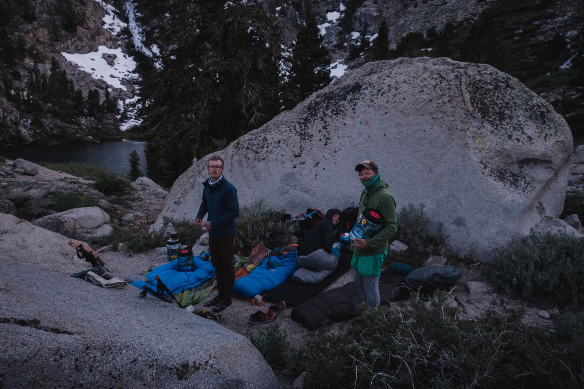
We wake up and quickly take down our camp. It's really windy and cold and I have to add more clothing on to not freeze. Pony and her group had already left before we managed to wake up.
I'm feeling really tired and not feeling like hiking at all. The thought of climbing close to 3,000 feet over a snowy pass with a pack full of ten days of food doesn't make my mood any better. But we're here to hike so we move on. It's 6am, still dark, cold, and windy.
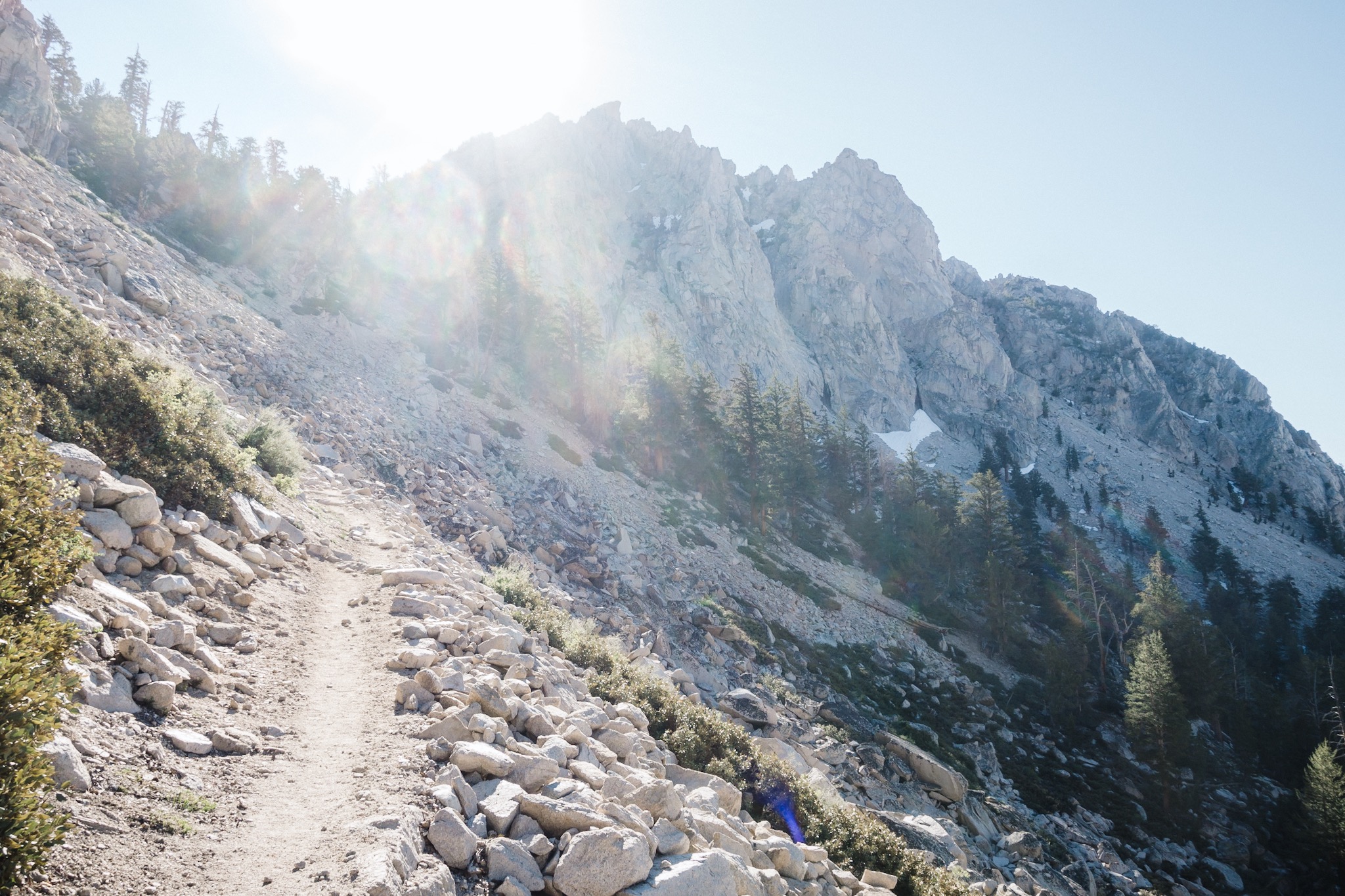
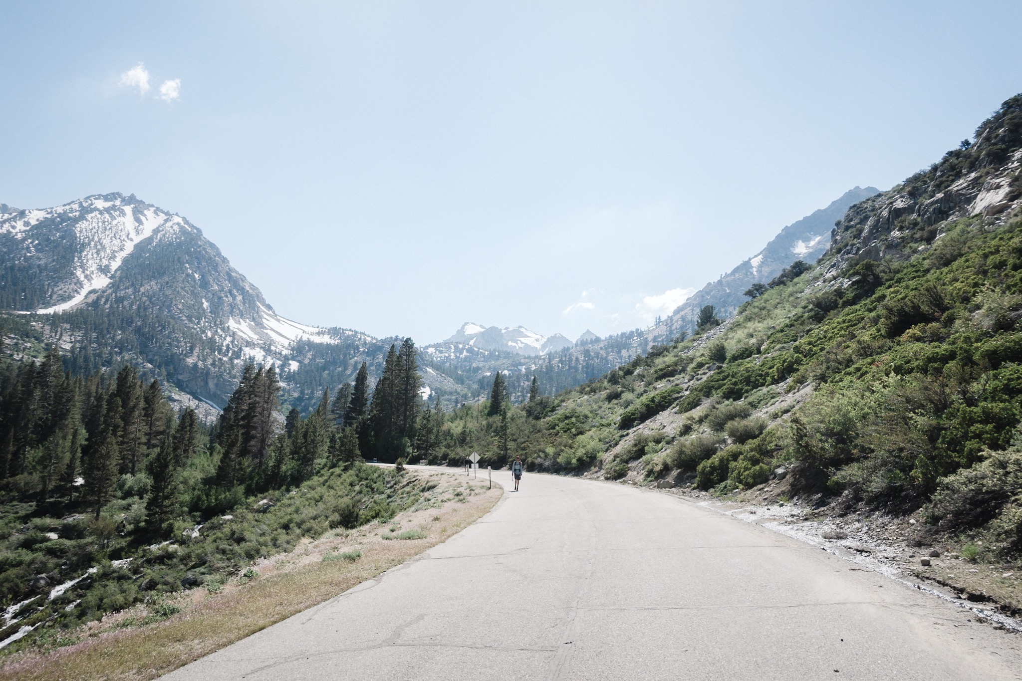
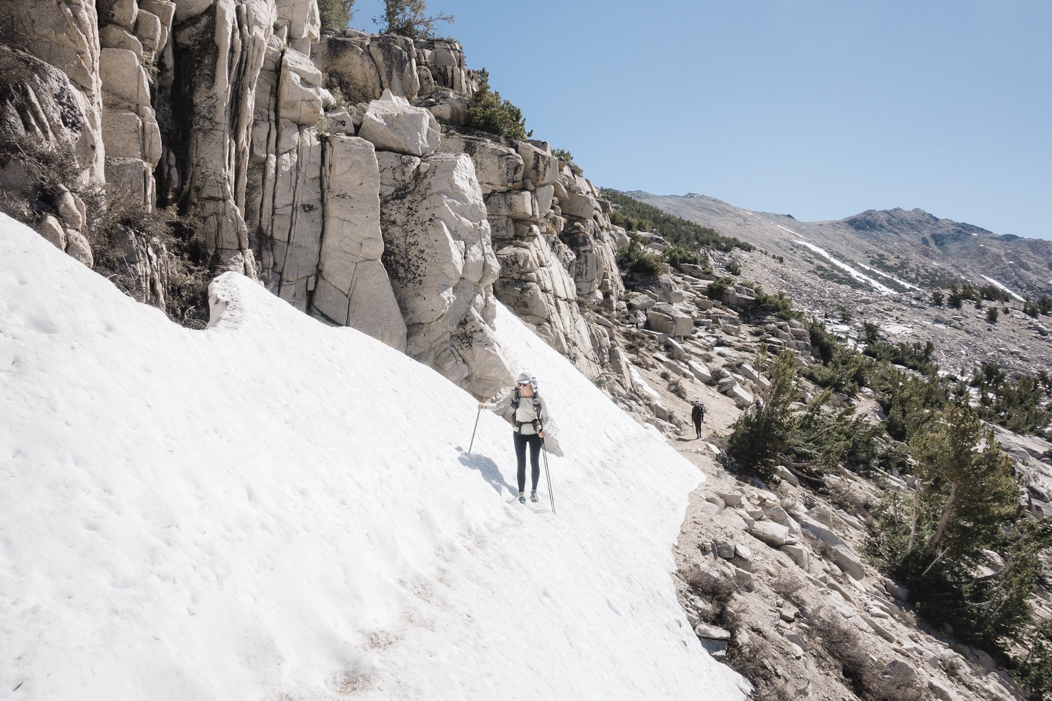
I'm last to leave and slowly stumble my way forward. I feel pathetic. The trail is still clear of snow but I know what's coming. We climb to the second lake and then to the third. Then we start climbing on a rocky path and I see Dandelion and Fyreant stopped a little ahead of me. Dandelions hiking pole broke on the climb and she's trying to order a new one while we still have cell reception. That sucks, as we're just heading out for seven to nine days into Snowy Sierra, where you'll definitely need your poles.

Looking up on the last climb up to Kearsarge Pass.
We continue on and soon reach what would be switchbacks, but are now a face of snow going straight up. From here on, we'll be on snow all the way up to the top of the pass. We take out our microspikes and the ice axes. The snow is still icy and I have to really jam the axe to the snow to get a good grip.

Last push up on Kearsarge Pass. The pass is the notch on left.
There is no trail or route, it's more like an "choose your own adventure". Everyone takes their own route and soon we all disappear searching for the fastest or easiest route up. It's a steep climb and I'm moving slow, mainly thanks to the heavy pack.
The climb goes faster than I though and we soon reach the last climb up to the pass. From here there's a clear route carved to the side of the mountain and we start climbing it in a row like ducks.

Chipmunk at the top of the Kearsarge Pass.
We reach the top and the climb was much easier than I thought it would be. I was really dreading the climb so this suits me well.
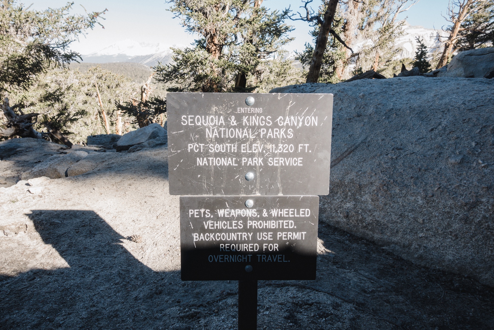
We don't spend much time on the top, we've all been here before. It's time to climb down on the other side and get to the PCT junction. All this work and climbing and we've not moved a single mile along the PCT. Resupplies in Sierra take a lot of time and effort.
Dandelion crossing a snow chute blocking the trail.
We choose the upper road back to the PCT, and after few switchbacks, find ourselves back on the snow. And the "choose your own adventure" continues. We hop on and over frozen sun cups and fallen trees, trying to find the trail. Every once in a while we see a glimpse of the trail, only to loose it again. Moving forward is painstakingly slow and requires a lot of work.

After wasting way too long in the snowy forest, we find the trail again and start working our way through the ice chutes blocking the trail. We eventually get to the one where Pony had to self arrest two days ago. Luckily no one slips this time.

Our group moving on snow.
Then we get down from the rocky path and get back in to the forest. And we lose sight of the trail again. Everyone starts working on their own paths. I'm the first one to reach the PCT junction and stay there waiting for the others. KB is first to arrive and we start eating second breakfast. Soon, Dandelion and Fireant show up too. The sun is already up and we sit on the warm ground. I just want to stop here and sleep.

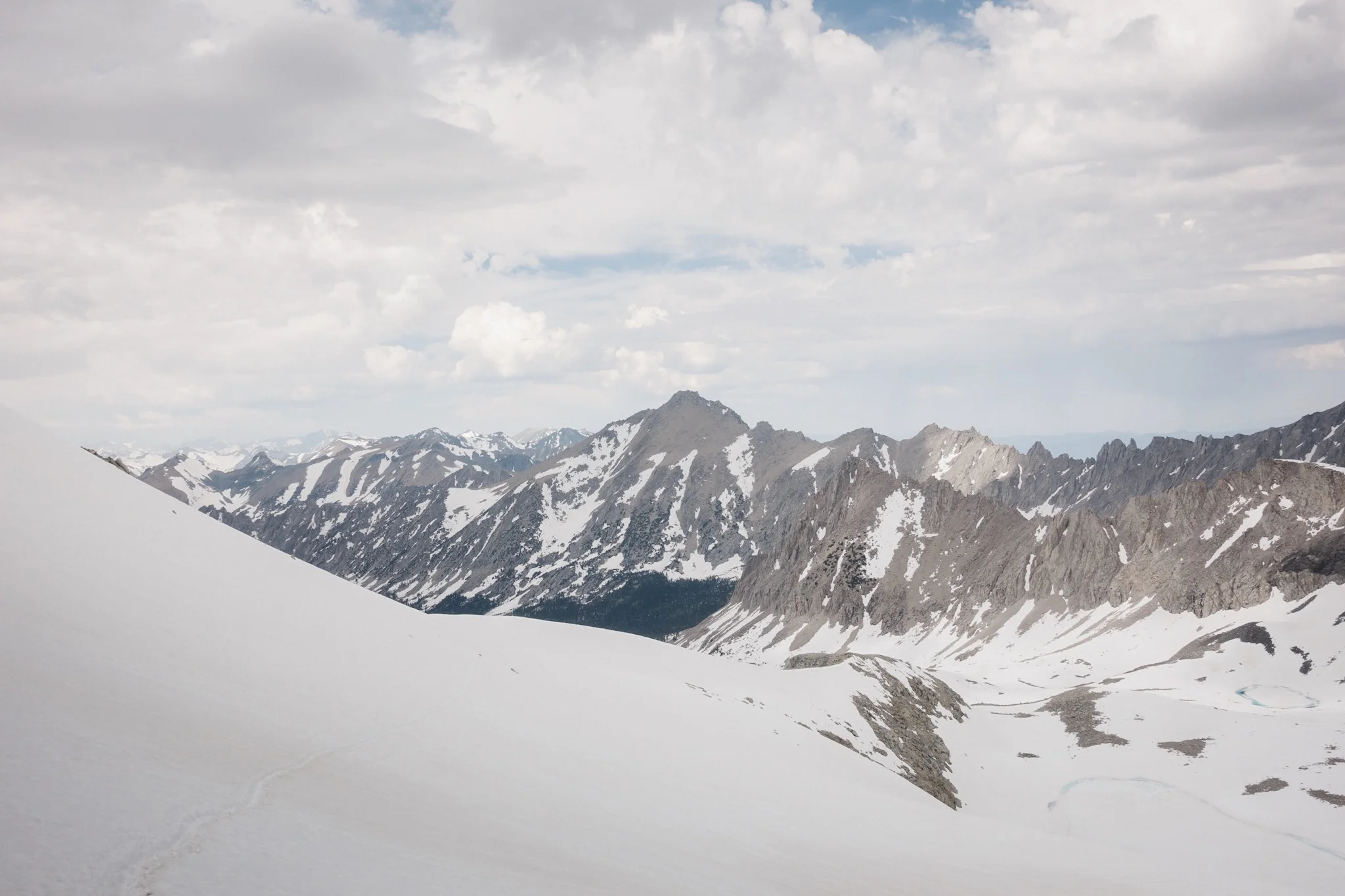
Looking up on Glen Pass. See the group of people up in the middle for size reference.
We get back on the trail, talking about stopping at the next water source to get more water. We literally take ten steps over a snow bank and arrive at a stream. Great, how didn't we see it here. We stop again to filter water.

Dandelion and Fireant approaching Glen Pass.
From here, we have only few miles to our second pass of the day, Glen Pass. We slowly push through the snow and get to the approach to the pass. The snow gets deeper so out come microspikes and ice axes. After about a mile of gradual climbing, the mountain turns straight up in front of us. We see a group ahead of us, climbing what looks like a very steep wall of snow. This is where the switchbacks would be, but now it's just a wall of snow. We follow the footsteps of previous groups and start climbing.
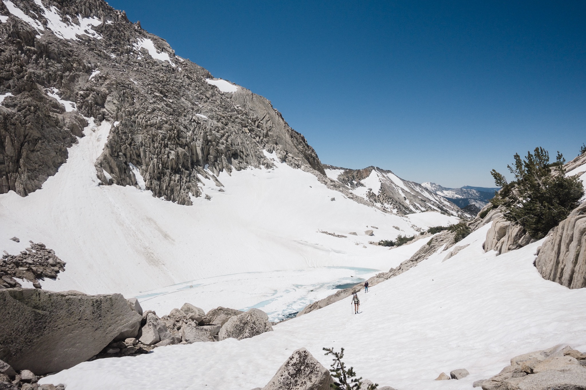
We climb slowly, making sure not to loose our footing as it's a steep slide down to the lake below. We hop over few rocks and get to the steepest section. I don't want to look down.
Thankfully the climb is not long and we're soon up on the top of the pass. We sit down in the sun and the rocks nicely block the wind blowing at the top. We eat and rest. I feel like I could fall asleep here but it's too hot in the sun. Fireant and I try to both sleep behind the same rock, but it's too hot and we both complain about the sun. There's no shade and we're above 12,000 feet so the sun burns quite mercilessly.

Last push up Glen Pass.
Pony's grew catches up to us. We thought they were ahead of us. We need to start going as we still have two big river crossings to do and the rivers get deeper and stronger as the day goes on and the sun melts more and more snow.

Descending down from Glen Pass.
What follows is an epic glissading party down the side of the mountain. For the next few hours we hike down and glissade every change we get. On one long glissade Fireant looses her ice axe midway down. I catch it going down but foolishly start celebrating midway and loose it again. Dandelion catches it and brings it down. Other than the cold snow hurting my buttocks, glissading is my favorite thing out here.

Break at Rae Lakes.
We soon reach the Rae Lakes down below and start going around them. We have to cross a stream between the lakes and get quite wet while crossing it. The water is freezing but we can't stop to dry ourselves, we have two more rivers to cross.
We reach the first river and its flowing quite nicely. The water looks about hip deep. I cross it with Fireant as the current is quite strong. While midway through, Dandelion breaks her second pole, right at the strongest current. I go back in to the water to lend her my pole so that she can cross safely.

Looking down to the valley.
It's already quite late but we decide that we want to get ourselves on position to cross the next pass early in the morning. This means we need to cross one more river and it's going to be flowing nicely thanks to all the snow that has had time to melt all day.
We hike on with wet gear. My socks and shoes haven't been dry for the past five or six hours. On the way we cross some smaller streams. It doesn't matter as our shoes are already full of water.
The lower in elevation we get, the less there's snow, and we soon find ourselves walking on a trail again. There's still snow but at least we can see where the trail leads.

Finally down on dry trail.
We reach the last river and cross it easily. It has a strong current but not a lot of water. We have still few miles to do to make it to the approach for the next pass tomorrow so we keep moving. Water splashes from my shoes as I walk.
I look at the watch and it's almost 8pm. We've been on the move since 6am. Moving in the snow here is slow and tiresome.
The scenery is just absolutely gorgeous. It has been like this all day, but I really like how it looks here at the bottom of the valley.

Our tent-city. Mine in front.
On the way down we see two deer just eating right on the trail. They don't seem to mind us and follow along with us for a while. Right before the campground we see a bear ripping a tree trunk apart. We make our presence know to her and she soon moves further in to the forest. My second bear on trail so far. I'm so excited!
Our camp is just minutes from where we saw the bear. Thankfully there's bear boxes here. We dry our gear over the fire and then head to bed.

Campfire.
We had an epic day today. We hiked 17 miles in snow covered Sierra, no easy task. While doing so, we climbed two mountain passes, Kearsarge and Glen. We crossed two rivers and countless streams. And on top of that saw a bear. I'm smiling from ear to ear as I slip inside my sleeping bag. Tomorrow is going to be another rough day, with possibly two more passes to go over.
Sponsored by:
![]()