Day 30: Hiker Heaven and my birthday

Date: May 29, 2017
Miles: 0
Health: Stopping is not good for your body. Resting feels good but it's hard to get moving.
Note: as my camera is still broken (see day 25), all photos here are from iPhone 7 Plus.
I wake up at 7am but still feel tired. Rest, beer, and having nothing to do makes for loud hikers. I think I got to sleep around midnight.
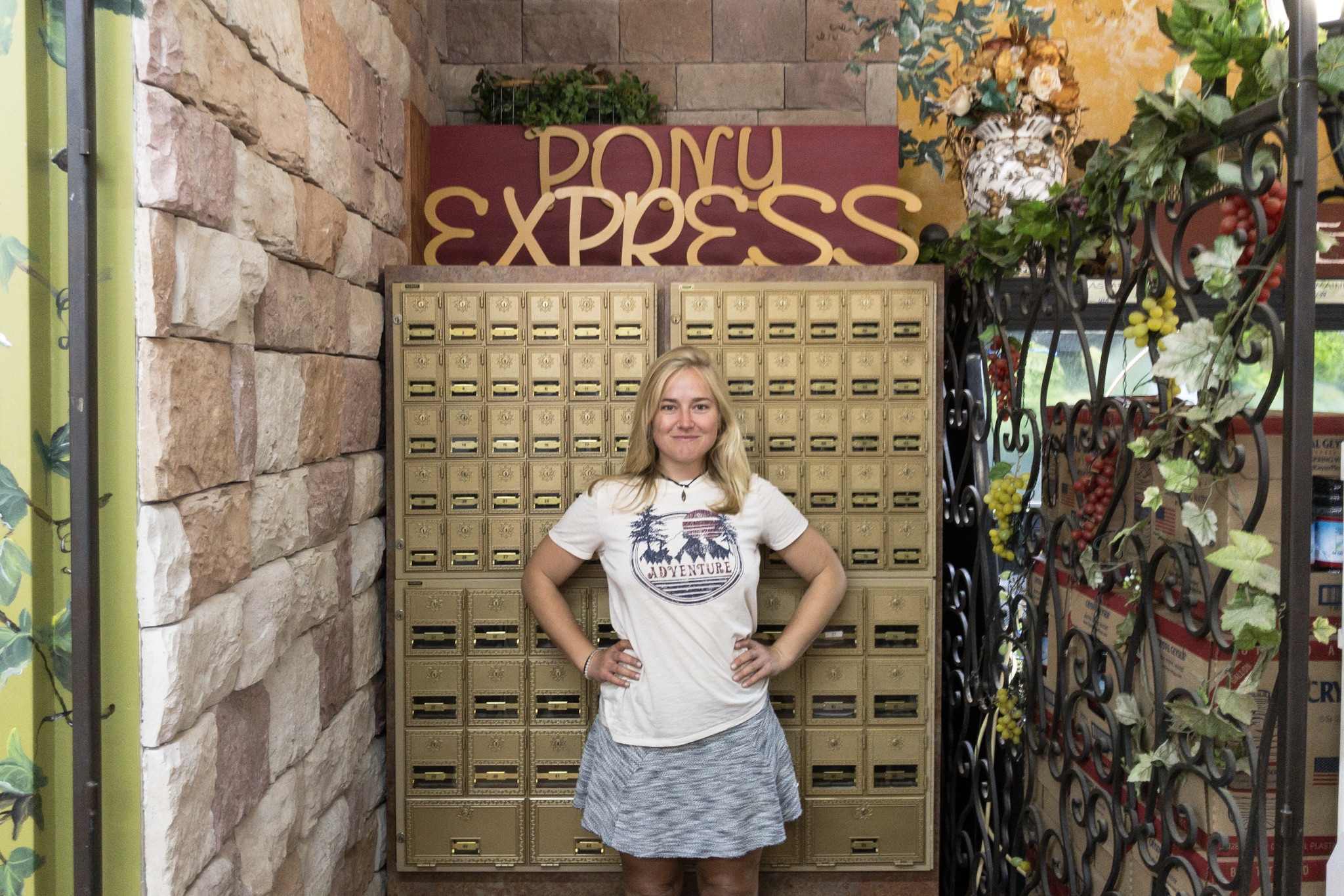
Pony found her name in the store.
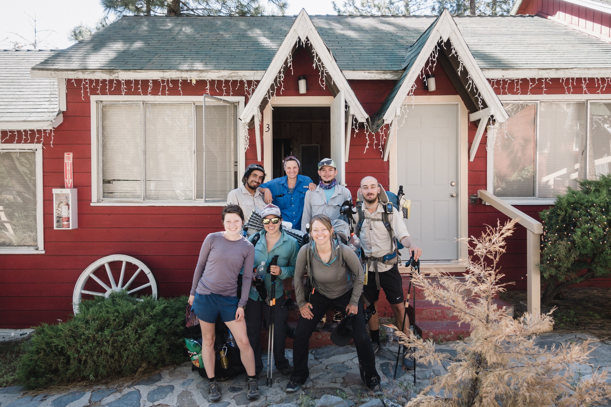
Most of us pile on to the 8am ride to town to get breakfast. As we get in everything is closed. Memorial Day. So instead of restaurant breakfast we all buy food from the grocery store and head back to Hiker Heaven. I buy a large bag of store made lime flavored tortilla chips and store made guacamole and salsa.

The recharging station.
At Hiker Heaven everyone seems to be moving in slow motion. There's an air of relaxation. I sit down and eat my chips with people I've not yet met. There's about 60-70 hikers in so there are a ton of new faces around.
The word has gone out that I have a birthday today so everyone I meet congratulates me as we meet. As I generally don't like to celebrate my birthday it feels kind of weird to have so many people congratulate you in person.

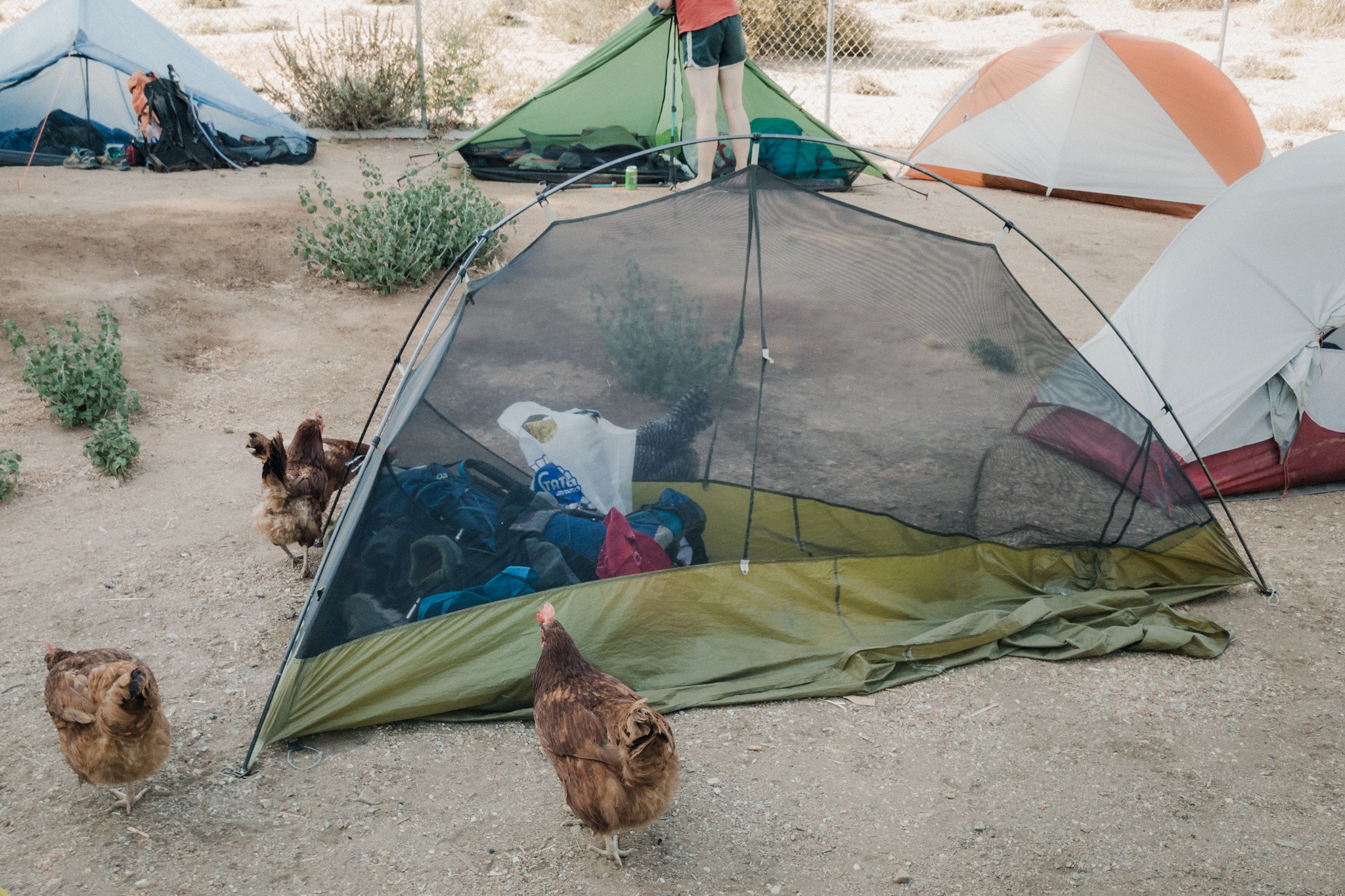
Chickens raiding someone's tent.
The day moves slowly. I do my laundry, watch Netflix, drink sodas and beer, and hang in the shade relaxing. I feel pretty out of it, like I have no energy. That's what happens when you're on the move for a long time and then stop.

Ride to town.
Around 5pm we head back to town for birthday margaritas and Mexican food. We fill up a large table and eat and drink.
As we get back to Hiker Heaven I see Kelley, Derek, and Bianca and sit down next to them. We talk about the trail but all of a sudden I'm surprised by a large group of people standing behind me and three cakes being laid in front of me. One of the cakes has candles with numbers 2 and 9 on them :)
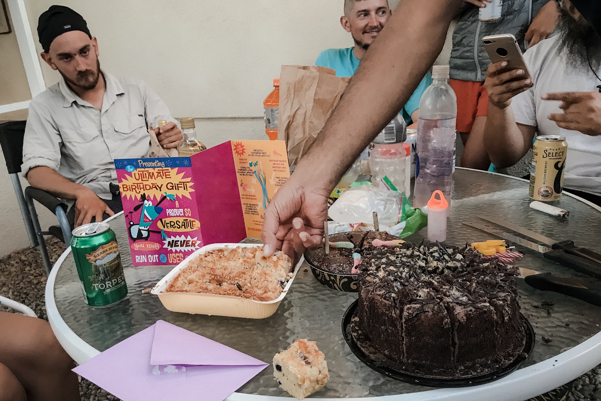
My three birthday cakes.
I'm totally surprised by this. The people singing, the super nice birthday card and the cakes get me all teary eyed. I just cried yesterday, I can't cry two days in a row. I try to read all the nice messages people have written on the card but can't without starting to cry. I'll save them for later reading.

A sign in one of the trailers.
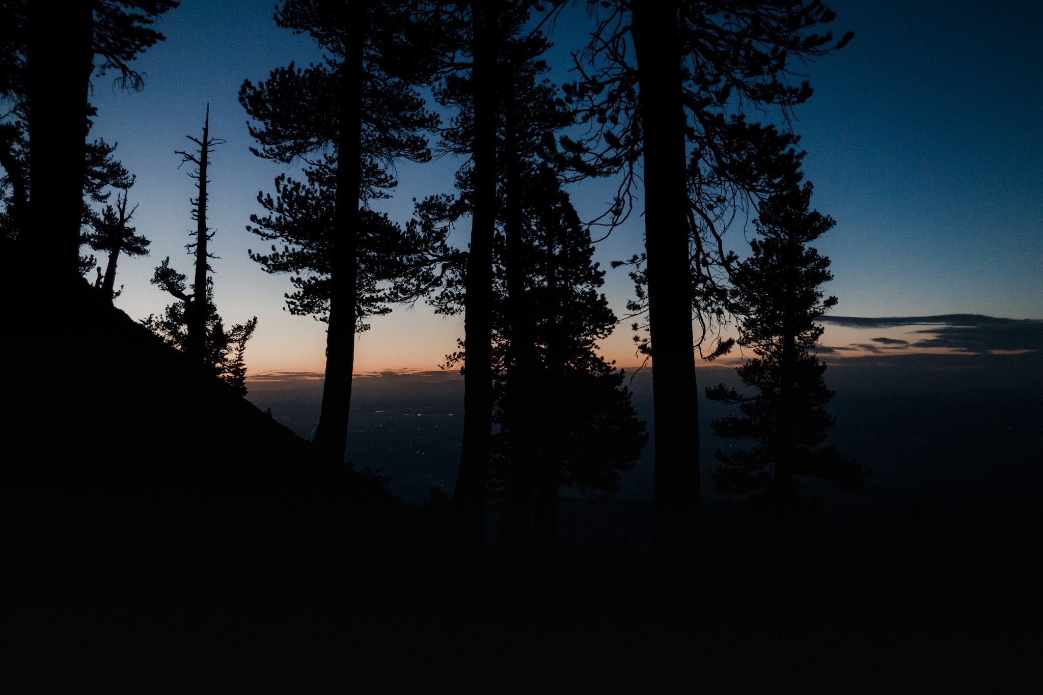
We eat all the cakes and enjoy the beautiful sunset. I've spend my birthdays in some weird places doing some weird things but this has been one of the nicest ones.
I completely forget to take any photos during the day so this is a very photo limited post.
Sponsored by:
![]()