Day 32: Leaving Hiker Heaven

Date: May 31, 2017
Miles: 19.9 miles (32km), from Aqua Dulce to mile 474.2.
Health: After two days of laying around my legs are not in hiking condition. Slight pain on my right lower shin.
Note: as my camera is still broken (see day 25), all photos here are from iPhone 7 Plus.
I slept poorly again. While Hiker Heaven is an awesome place, it's not great for resting. People make noise until late at night, and the sun wakes you up around 5:30am.

Morning tasks.
Today the morning was luckily cloudy and I woke up around 6am. Time to pack up everything and get on the 7am ride to town.
All my gear quickly find their spot in my backpack but my shelter is still wet from the moisture. Sadly there's nothing I can do, I have to dry it out later today.

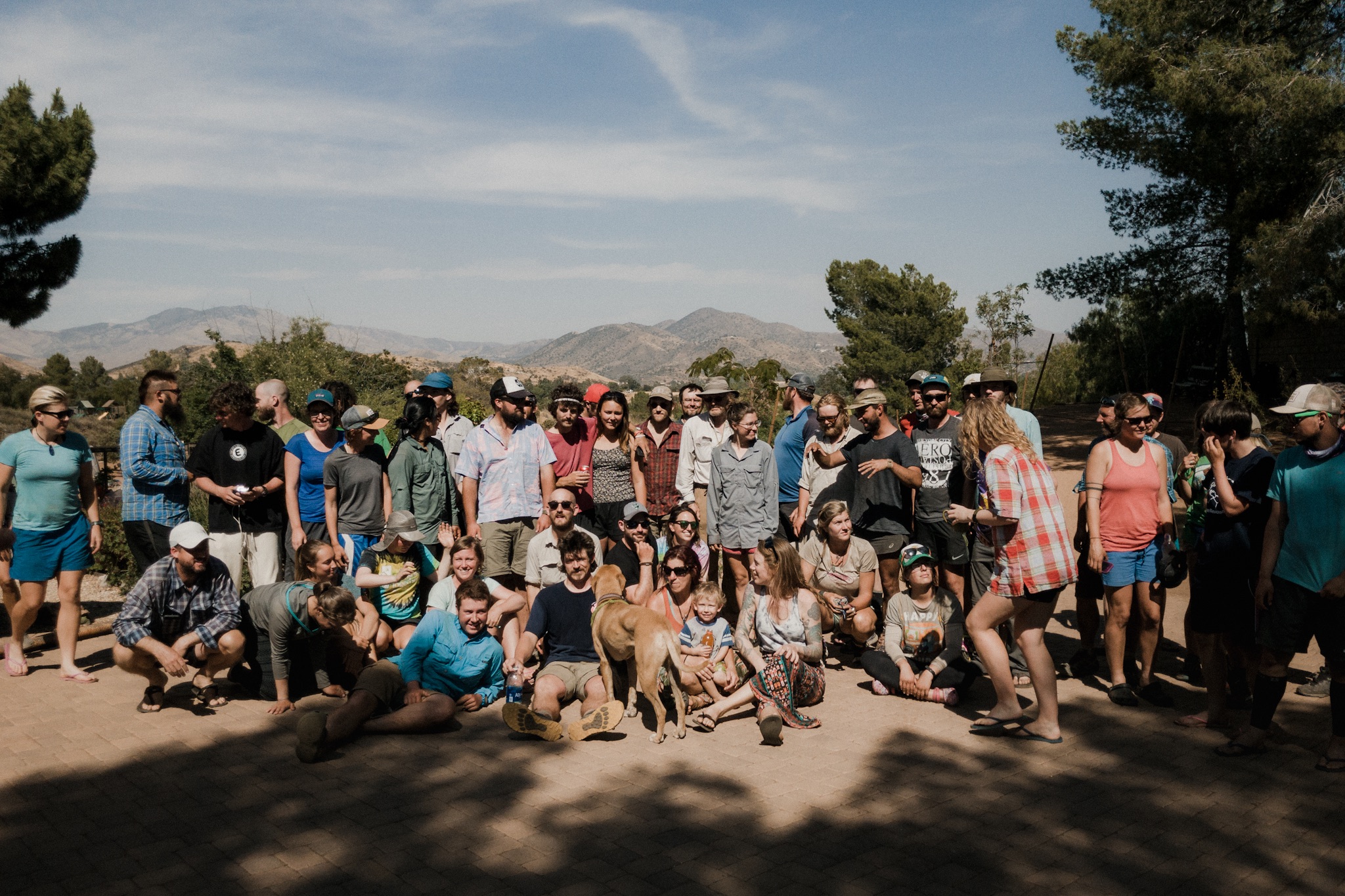
Everyone getting ready to leave.
About 20 hikers climb onboard the first ride to town. I lost my 0,75l Smart Water bottle so I need to get one from the store before going out. As I'm in the store I politely ask if the lovely ladies running the Deli could make me a breakfast burrito. The Deli opens at 8am but the lovely lady agrees to make me one if I can wait 10 minutes. I gladly agree.

Aqua Dulce General Store.
While I'm waiting I hear that the driver is giving a ride to the end of the road walk out of town. The PCT follows a paved road from here for about two miles. Hiking on the narrow road is not only boring, but dangerous, so getting a ride to the trail would be really helpful. Sadly the Deli lady is already making my burrito so I have to pass on the ride. Everyone else hops on.
After I get my breakfast I start the dull road walk out of town. I eat my bacon burrito and try to avoid the traffic. It takes me about an hour and a half to reach the proper trail again.

Road walk out of Aqua Dulce.
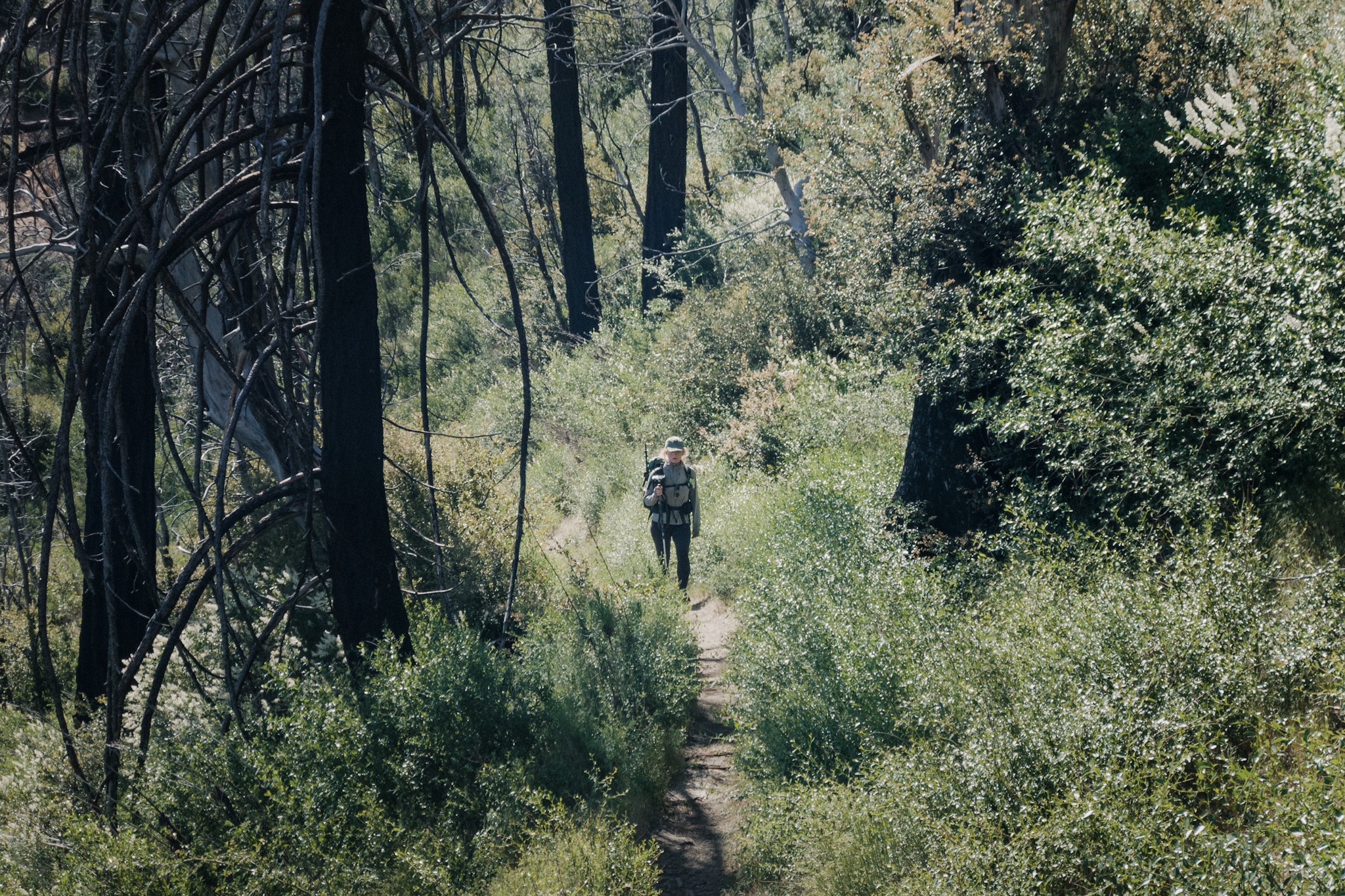
As everyone's about hour, hour and a half ahead of me, there's no way I'm able to catch up to them. Right after the road walk, the trail gains around 2,000 feet (600m) of elevation so I spend the next two hours climbing up.

The start of the sand trail and the mountains we climb.
On one of the more open vistas I can see Sunshine and Fyre far ahead of me. I start a timer on my clock to see how far they are. Once I reach the spot where I saw them I look at my clock and they are only 30 minutes ahead of me.

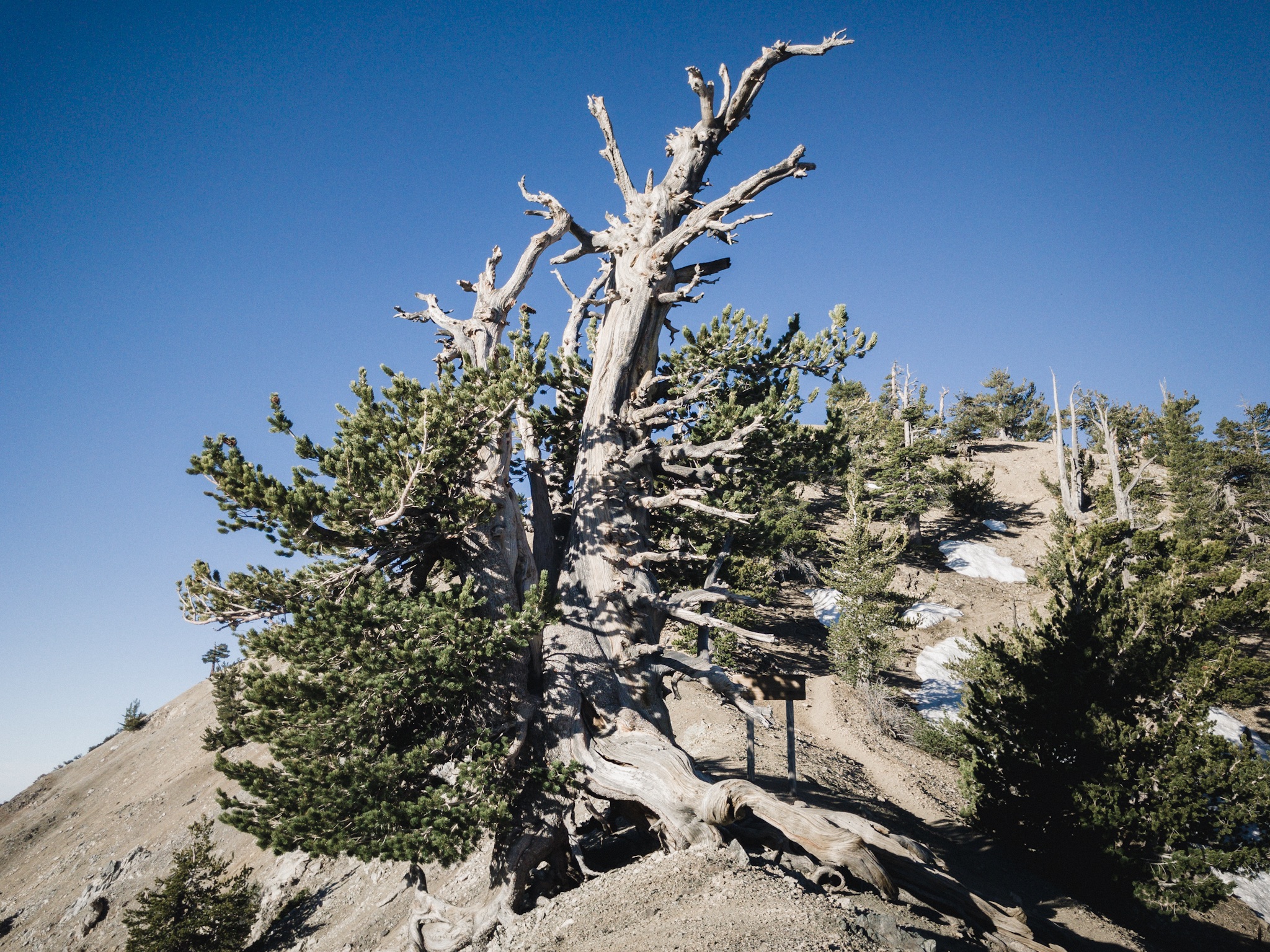
Almost at the top.
Once I reach the top of the climb I get a message from Sunshine that they are now at the next water source. I look at the map and it's only about a mile away. I try to send a message that I'll be there in 20 minutes but the message doesn't go through and I lose the reception.
As it's all downhill to the water I try to hike faster, hopefully they're taking a break at the water and I can catch up to them. As I reach the water, there's no one there. I look around and the spring looks kind of creepy, and there are tons of flies around. Not a nice spot to take a break. It's almost lunch time so they must take a break soon, maybe a bit down the trail?

More climbing.
I refill my water bottles and head back on the trail. Whenever I see more of the trail I try to look for them to see how far ahead they are. But I can't see them. At one point I can see a long stretch of the trail but see no movement on it. They must have skipped lunch, or maybe I missed them somewhere and they are behind me? I hike on alone.
Other than that quick sighting of Fyre and Sunshine, I've seen no other people on the trail the whole day. Finally I'm getting so hungry that I have to stop. I make some cold soaked ramen and add a bit of tuna in it. As I wait for the ramen to soak I fall asleep. I've been sleeping poorly for the past couple of nights and the lack of sleep is catching up.

The road and where I fell asleep.
I get woken up by water falling on my head. Rain? It's raining a little but not enough to actually get wet. This is the second time it has rained on this trip. I eat my over soaked ramen and get back on the trail.
Right as I'm leaving Riley pops up around the corner. It's good to see a familiar face. I haven't seen him since we climbed San Jacinto together. He's hiking with a friend and they are stopping so I continue alone.

After the first climb the trail is pretty easy. I see tons of lizards, two snakes, hummingbirds, bugs, and tons of flies. What's up with all the flies?
At one point I run into Dragon and Andrew. They're having a break along the trail and they tell me Sunshine passed them over an hour ago, and Fyre over half an hour ago. And that they are both pushing the full 24 miles (38.6km) to Casa De Luna – as the home of trail angels Terrie and Joe Andersson is know.

Dragon and Andrew.
The trail feels so effortless, and it's still early, that doing the last 6 miles to Casa De Luna would be fairly easy. But my body is still reeling from not sleeping enough, and I feel like getting to the Andersson's would make this another night of poor sleep.
I decide that I'm staying at the camp spot 4 miles from the Casa De Luna, getting to bed early, getting a good nights sleep, and then hiking there in the morning.
I get to the camp spot around 5pm and I'm in my sleeping bag before 7pm. Instead of cowboy camping I pitch my shelter to let it dry during the night. The spot where I'm sleeping is on a saddle high up, so there should be no condensation in the morning.

My spot for tonight.
Just as I'm thinking this is the first night on the PCT that I'm sleeping alone, I hear a group of hikers coming up on the saddle. I know few of the hikers from yesterday as we shared a ride to Hiker Heaven. One of the girls is called Snake Bite.
My shelter is on a good, well protect spot, but the ground is a little slanted. I stuff my food bag under my legs to even out some of the downhill. Hopefully tomorrow I can get a ride from the Andersson's to Lake Hughe post office to pickup my camera.
Sponsored by:
![]()