Day 79: All the trail magic and the return of trail puppers
Date: July 17, 2017
Miles: 25.9 miles (41.7km), from mile 1,056 to Showers Lake at mile 1,081.9.
Health: Feeling great.
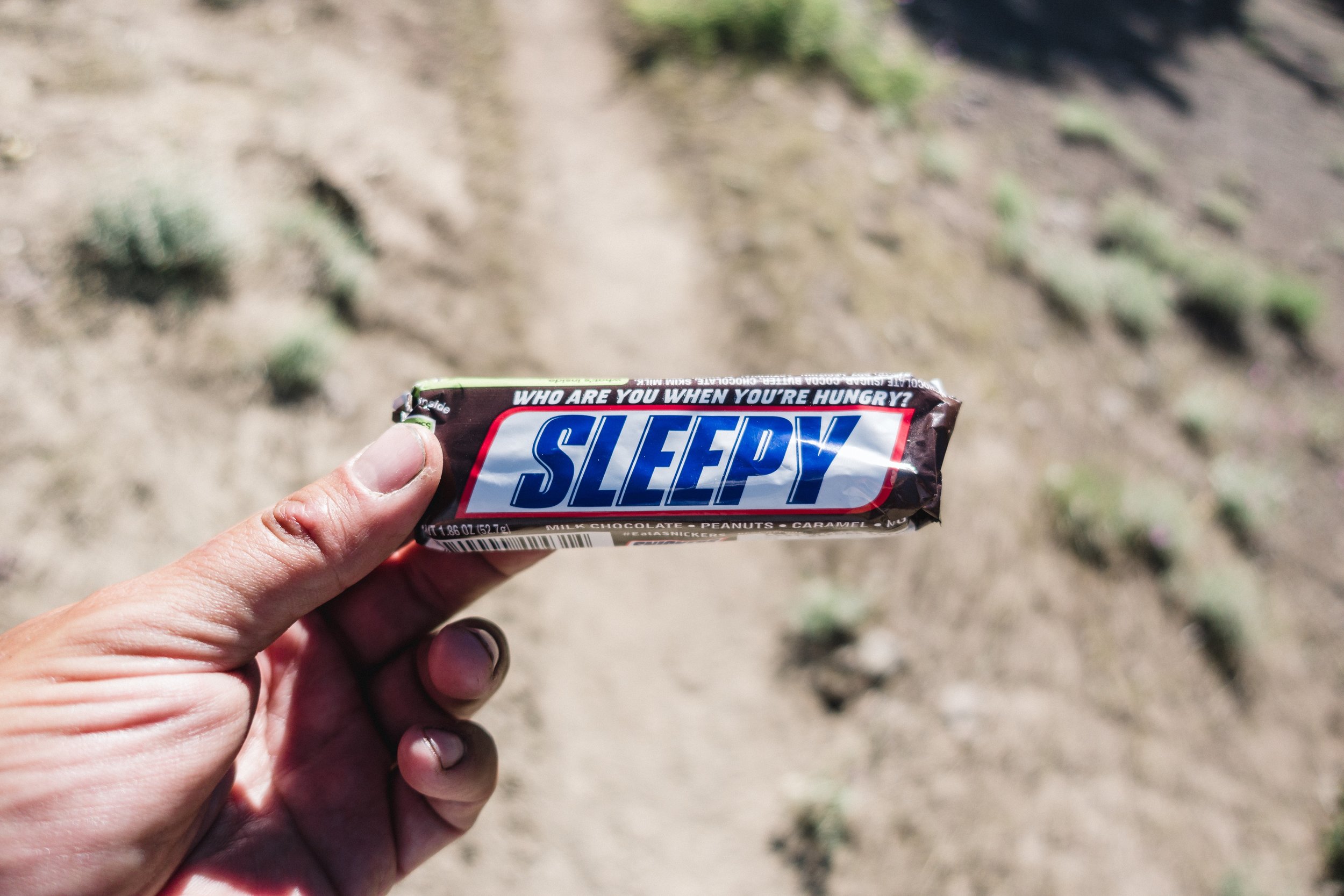
Today was a really epic day! Throughout the Sierra, we didn't see any trail puppies – mainly because dogs are not allowed there – and had barely any trail magic. So when you come out of Sierra and you have a day full of both, it's a good day!
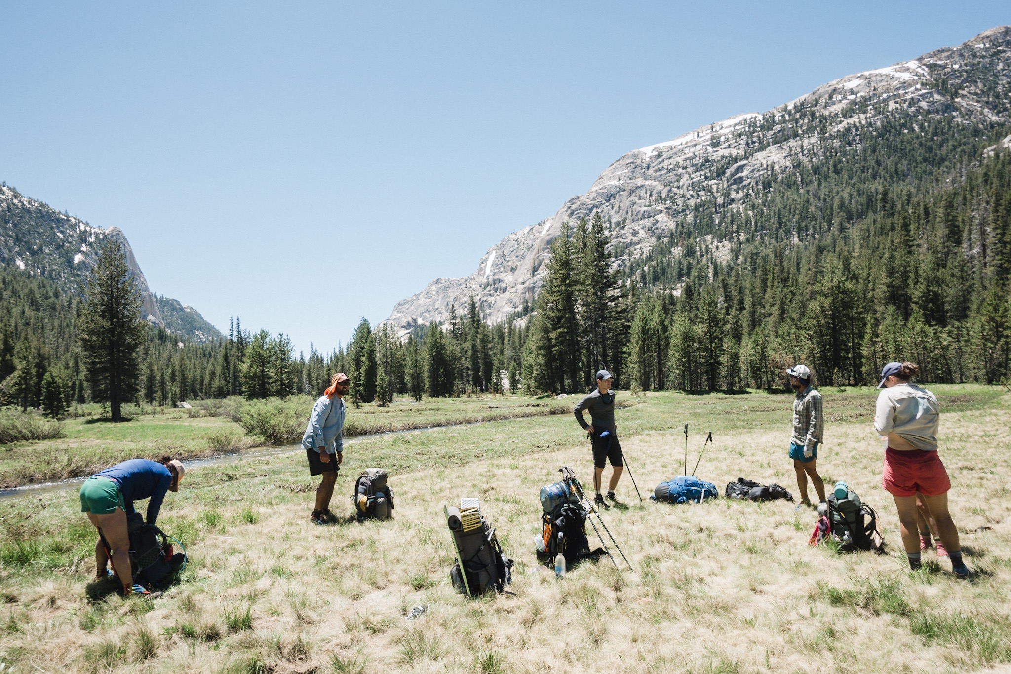
We woke up late again. I had trouble falling asleep last night as I felt I hadn't spent enough of my energy during the day. After eating breakfast and watching the sun rise behind the mountains, White Rabbit was first out the camp. He said he had a meeting to attend to, something about sending faxes or papers. Reroute was next and I left last, thinking I'd catch them soon.

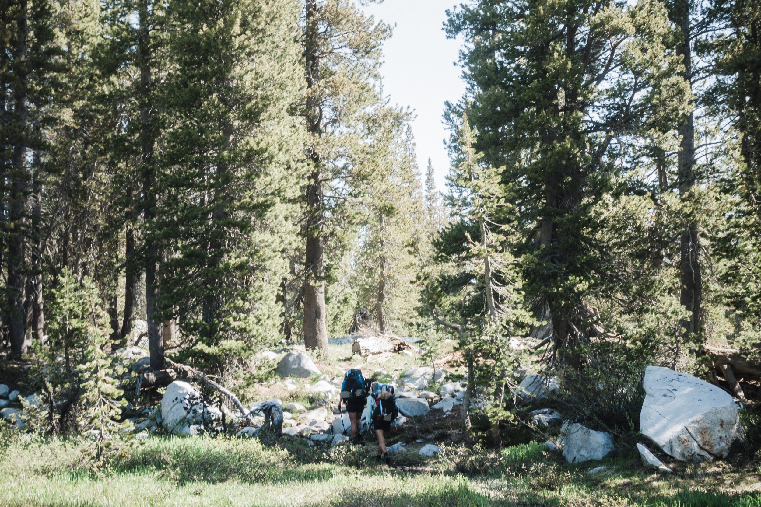
Reroute.
I didn't catch Reroute but I met White Rabbit shortly when he stumbled out of the woods. We hiked together for a while but then my mobile phone came alive on one of the ridgelines, I have cell reception! I needed to send and reply to few messages so I stopped on the ridgeline as White Rabbit pushed on. The quick break grew to about half an hour and suddenly I realized I had to keep hiking to make miles.
Early morning ridge hiking.
Soon after the social media break I too had a meeting to attend to and diverted off trail, to the left, and into the woods. After both of these breaks I really needed to boogie down to catch up to White Rabbit and Reroute. I thought that if I’d hurry up, I’d catch them when they stop for lunch.
There were only a few spots with snow at the beginning of the trail but other than that the trail was pretty clear. This meant I was moving fast. I soon reached a stream and while crossing it, noticed a pile of Coca-Cola and Sprite cans in the water. Trail magic!
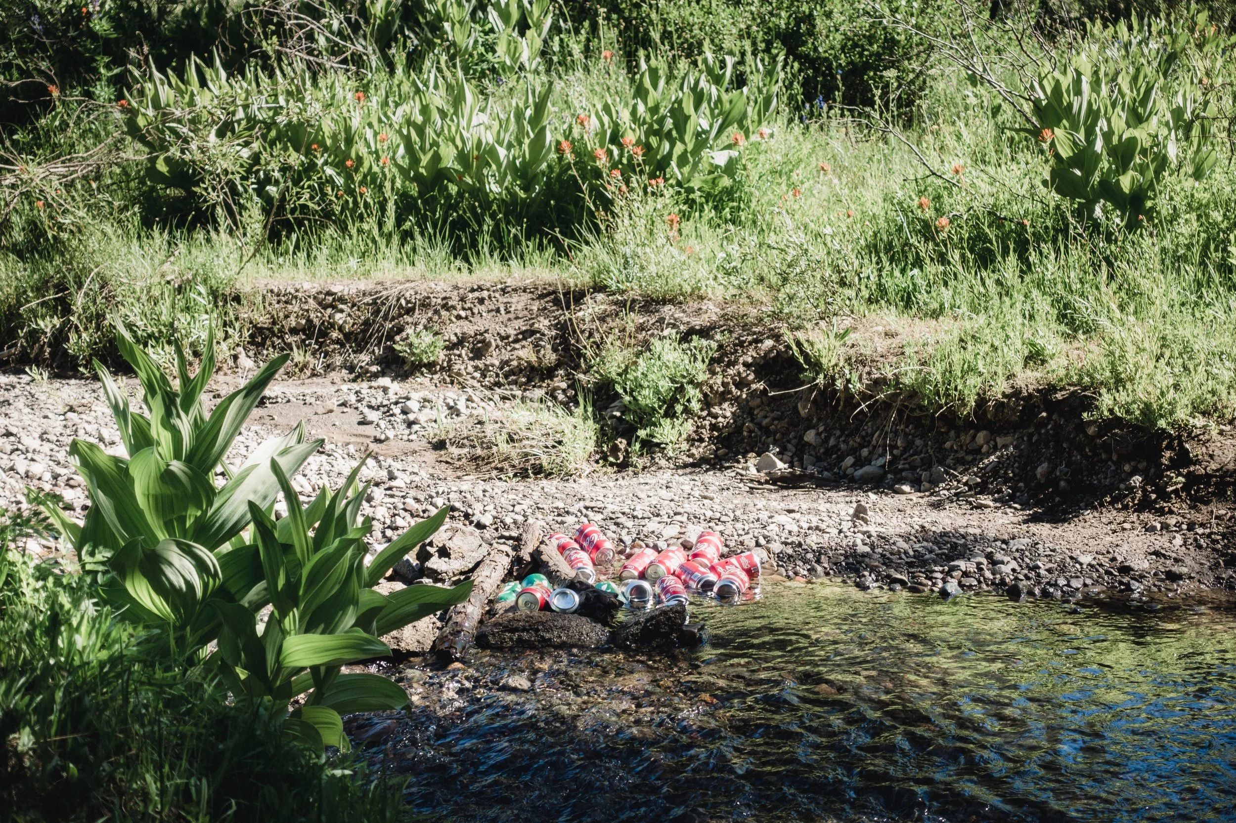
Stream with ice cold sodas.
Just last night we had talked about how we missed ice cold soda and now someone had hiked here and brought all these sodas to the ice cold stream. People and the trail community are so awesome! Thank you to whoever brought these here! I sat in the shade by the stream and drank a cola with a smile on my face. It was close to 100 degrees (39c) outside and an ice-cold soda tasted so good! I wanted to drink another one but thought about the other hikers behind me and instead crushed the can into my backpack and headed on.

Yay! for ice cold soda on trail.
Not long from the sodas, I get startled by a large animal heading towards me on the trail. I had both of my earphones on, with music at full volume, so I was caught off guard. A big white dog? I look a little up the hill and see two more, and then two older ladies. Trail puppies!
I stop for a chat and the two ladies tell me they work as volunteers at the Carson Pass information center and were walking their dogs. They told me that the center was about 12 miles (19.3km) from here and that there's usually sodas and some food for PCT hikers at the center. Sounds good! I could definitely go for a second ice cold soda.
I played with the three dogs for awhile, talked about the trail with the ladies, but eventually, I needed to keep moving. I thought about making it to the information center for lunch, but that would be a total of 20 miles (32km) between breakfast and lunch. Might be pushing it a bit too far.
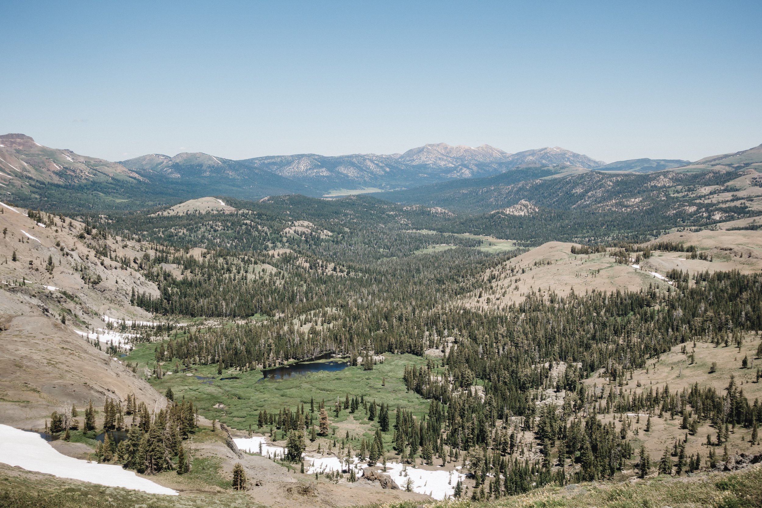
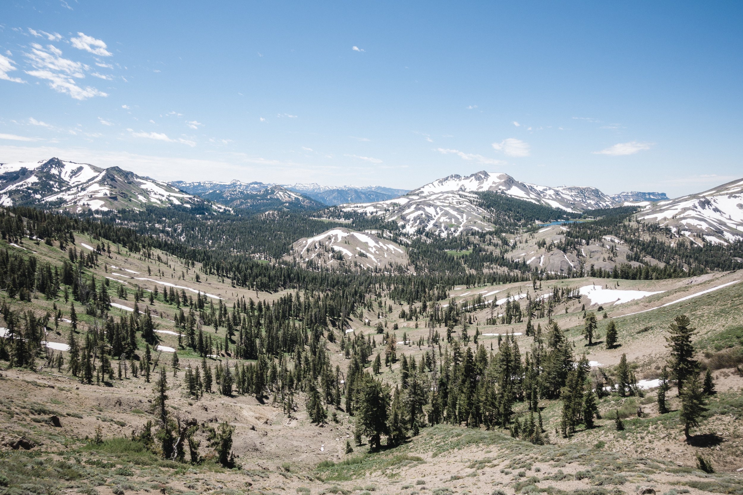
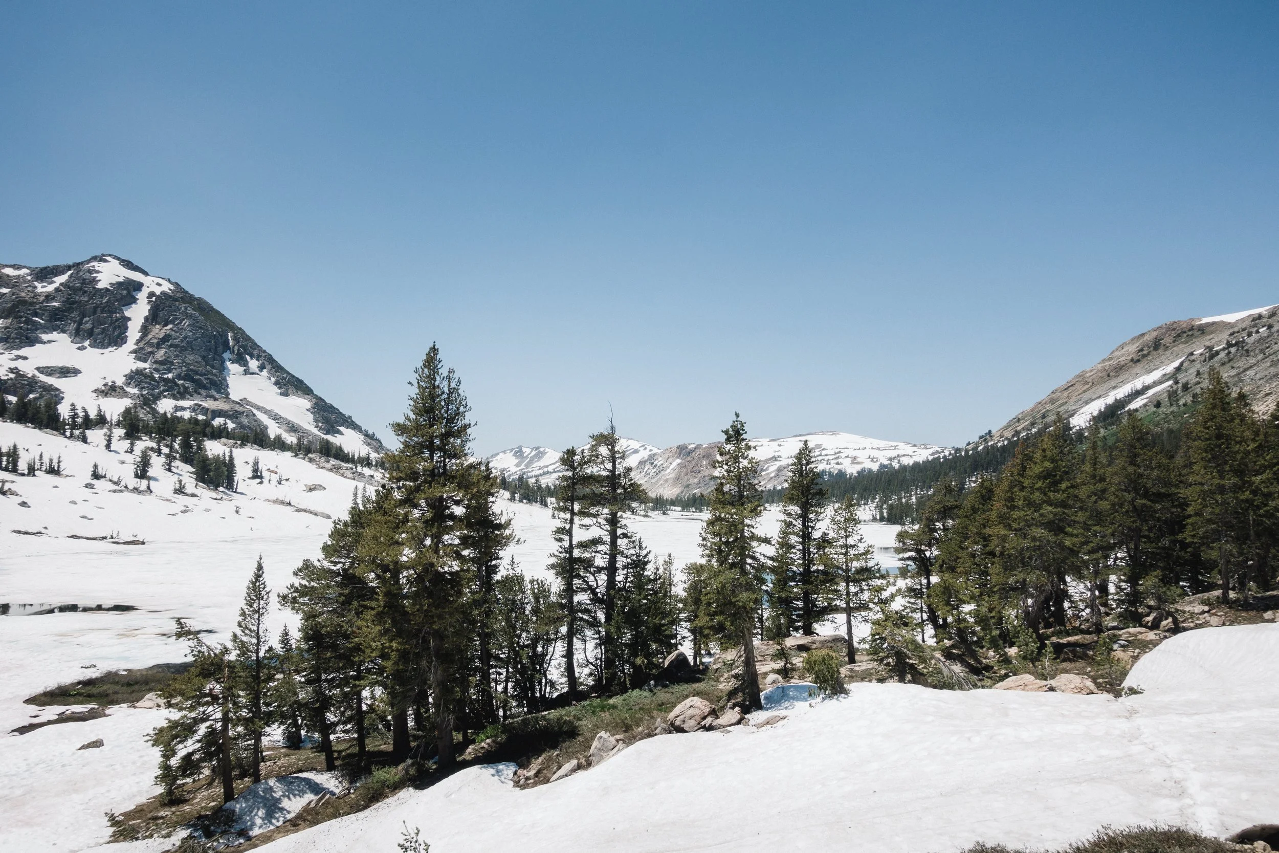
Views down to the valleys.
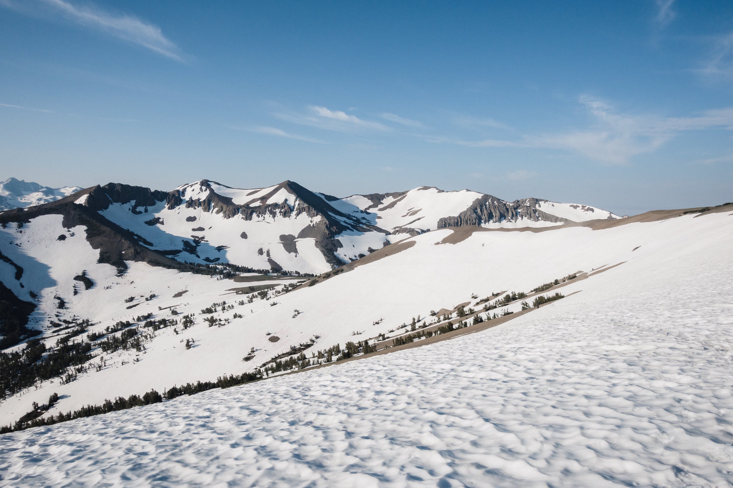
At one point the trail took a turn up and I could see a large snow chute completely going across and blocking the entire trail high above. On the other side was a steep mountainside, on the other steep cliff down to a valley far below. Not a spot where you’d want the trail to be cut off.
I didn't see any steps on the snow, and it looked like getting on the steep snow would be a nasty spot to slip – especially being alone. As I got closer to the snow chute I saw that people had climbed down the rocky cliff below it and when I reached the snow chute I could see why. The snow chute looked like a ski jumping hill. If you'd slip, you'd have very little time to self-arrest before you'd slide and fly over the rocks and drop straight down to the valley far below. Not good!

Flatter views.
To get to the rocks below the chute I had to climb straight down a steep rock face. This was super sketchy as there was nothing but two feet wide edge below to stop me if I slipped. I was going down on all fours, making sure I had a good grip with each step. Feeling the rocks loosening and seeing loose rocks constantly fall down into the ravine made me feel really uneasy. Once down on the small edge, I followed the narrow path under the snow chute and around it. Once on the other side I climbed back up on the trail and kept going. Not my favorite spot!
Soon I crossed a road and met a couple who were bouldering and talked with them while cuddling with their lovely dog. She just leaned against my legs as I scratched her legs and belly. I miss my dog so much but seeing all these trail puppies helps a lot!

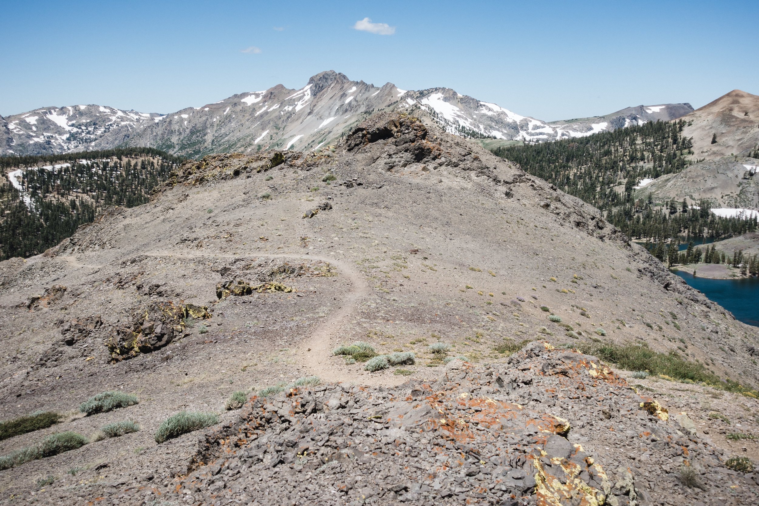
NorCal climbs are getting smaller.
I was almost 16 miles in and still hadn't caught up to White Rabbit or Reroute. How fast and far had they gone for lunch? I was getting hungry and my snack pocket was running low. Right then I see a large black dog running towards me in the snow. She runs around me, goofing around and just enjoying the snow. I climb up the snow face and soon see her owners up on the hill.
As I get closer they ask if I'm a PCT hiker. I tell them yes and they ask me if I have everything I need with me. I tell them I'm all good without thinking too much and they ask me if I'd like a turkey sandwich. A turkey sandwich? Well yes, yes I would.
They tell me that they're here trying to find a way to one of the lakes to go fly fishing but the snow had stopped them and they had brought the sandwiches for lunch. But as they had to turn back now, they'd be happy to give it to me. Random trail magic, how awesome!

Trail on a patch of snow.
As we get to their car little down the hill they hand me a big, 6-inch sandwich with all kinds of goodness inside. Even avocado. My lunch just got so much better! I don’t have to eat cold soaked Idahoan Potatoes.
After thanking them for their kindness, I hike a little further until I find a nice spot by a small stream between towering mountains. I sit in the shade and eat the sandwich. Oh. My. God! It tastes so good! First the sodas, all the dogs, and now this? How epic has this day been!

Trail magic sandwich.
After lunch, I keep going down the valley and after some time, start seeing other people. Day hikers. I must be getting close to the information center. I talk with some of the people and then reach the center. As I get there, there's a cute older dog that comes towards me and I have to pet him for a while.
After some doggy time, I get to the center only to find it closed at 4 pm. It's 4:12 pm. As I'm standing there, two thru-hikers outside call my name and tell me they got me a set of goodies from the center. I go over and they have a soda, some cookies, and fruits. The center hands these out for free for PCT hikers. How nice!

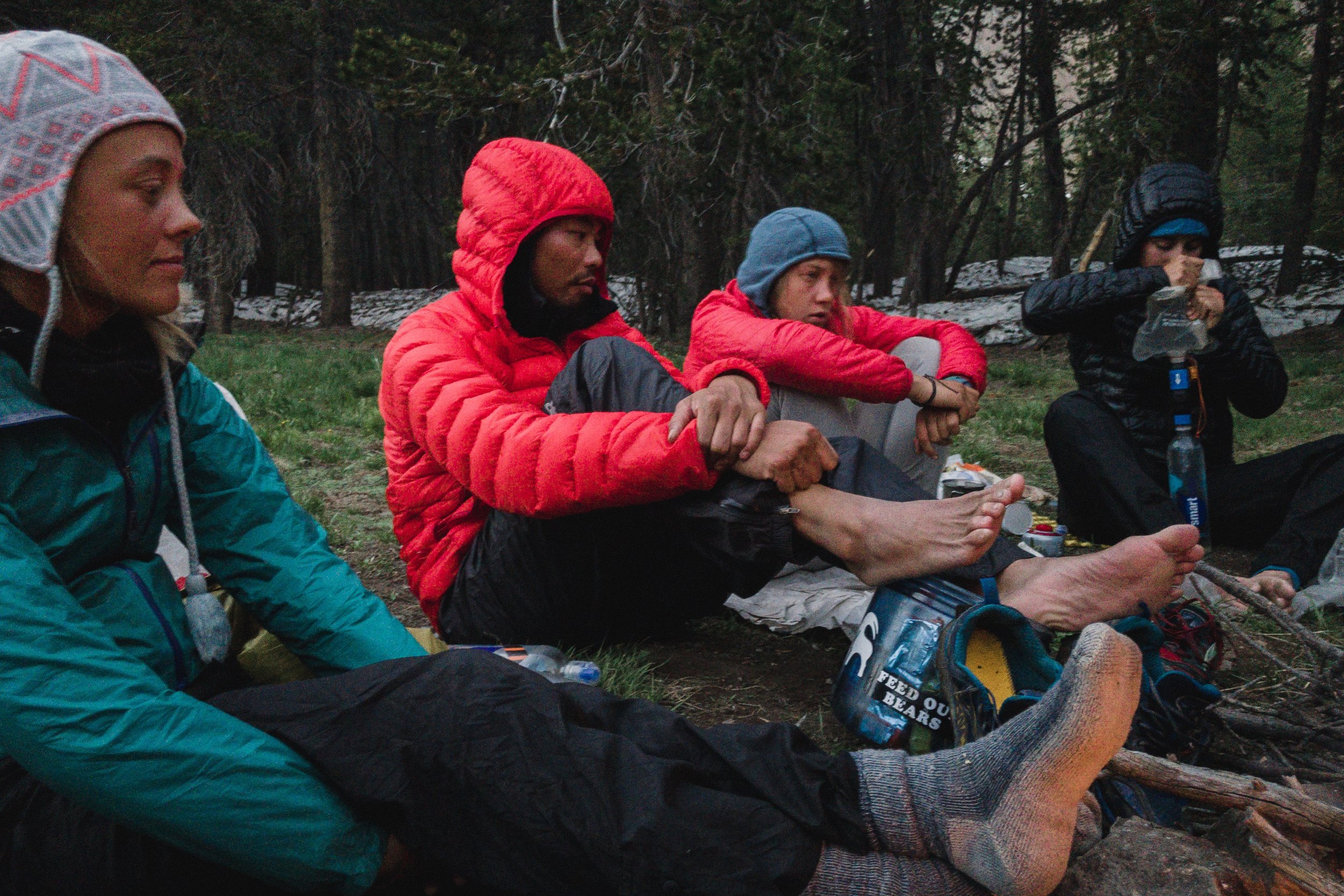
Our table full of trail magic.
The guys also have a ton of other food. They had met two ladies and they had given them a big pack full of town food. They had mini carrots, guacamole, berries, bananas, mandarins, and all kinds of other good stuff that hikers grave for but don't want to carry. We share all this food while sitting on the tables outside the visitor center.

As we're eating all this, a lady comes over and asks if we're thru-hikers. As we say yes, she opens her backpack and pulls out ice cold beers for all of us. What’s happening?!? Where getting trail magic over trail magic over trail magic. She tells us she hiked the PCT in 2011, another record snow year, and her trail name was Outlaw. Thank you, Outlaw! Now I’ve had both, ice cold beer and sodas.

Meadow.
Just a little after Outlaw left White Rabbit and Reroute appear. I thought they were ahead of me? Apparently, they had eaten lunch on one of the lakes and took a side trail and I hiked past them. We share our beers and food with them as there's plenty to go around. One of the things you learn on the trail is that there’s always enough to share with others, no matter how little you might have.

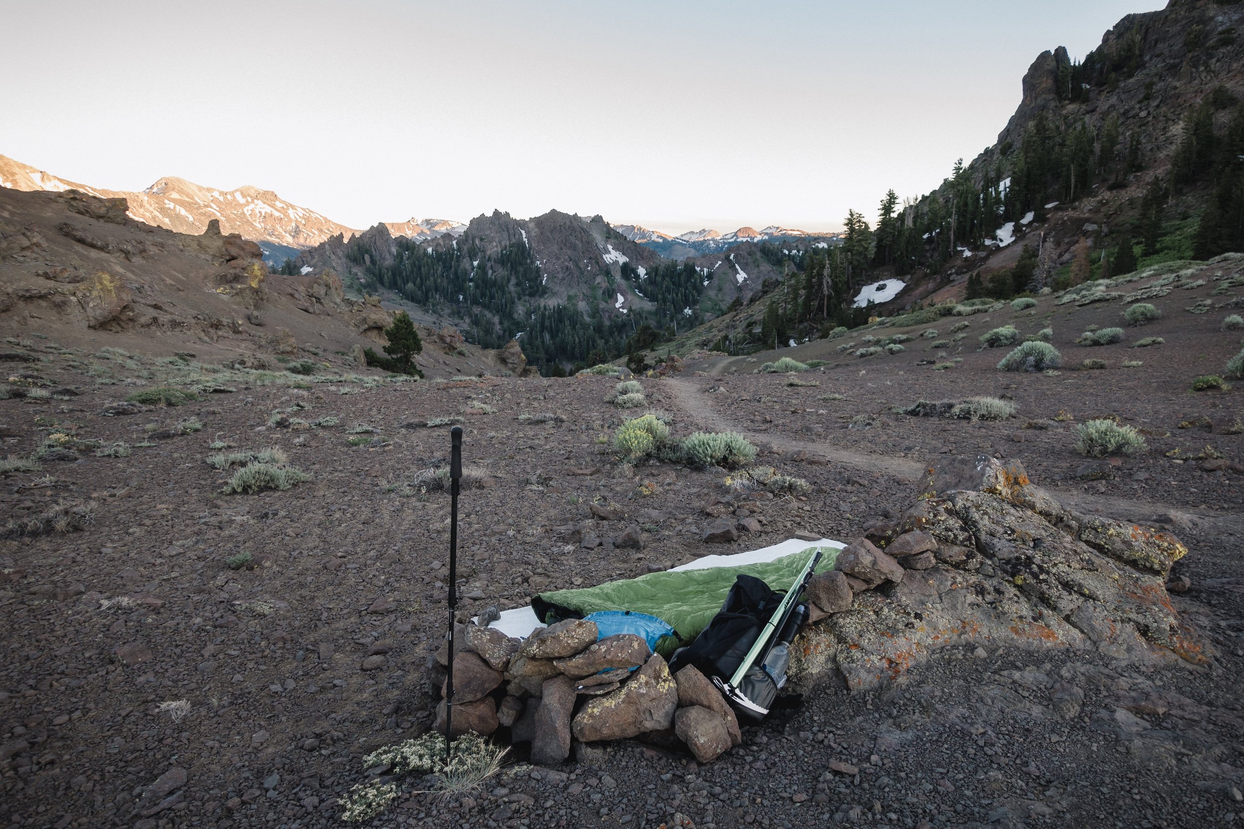
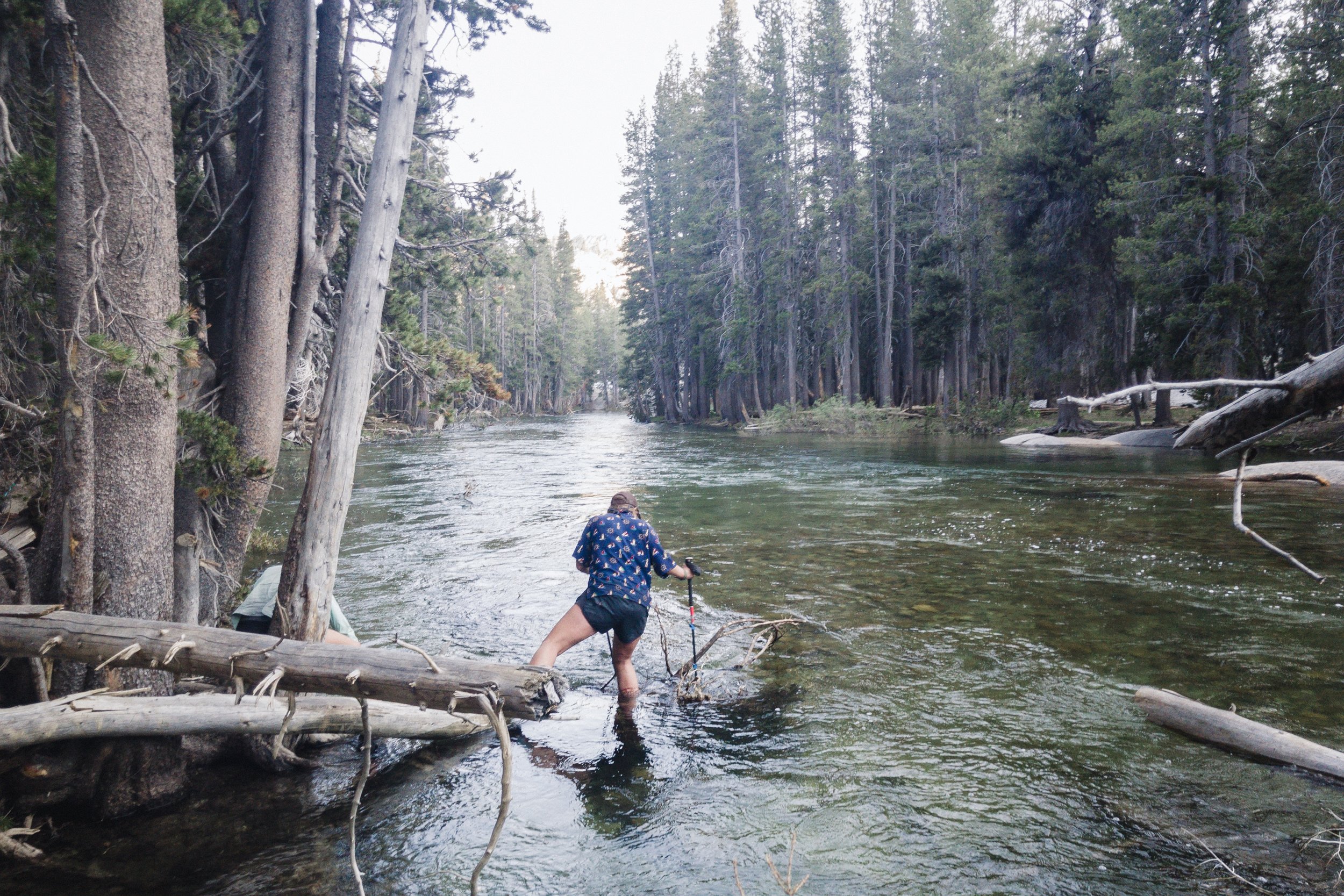
Showers Lake.
From here we have only five miles left to get to the Showers Lake, a good spot to camp. The trail climbs up from the pass, then leads through a large, beautiful meadow, and then climbs up for a while and finally reaches the lake. Such a beautiful spot!

My camp at Showers Lake.
We set up camp, eat dinner, although I'm still full from the goodies earlier, and go to sleep. What a day! Met so many doggies, got a ton of trail magic, and the trail was again relatively easy and snow free. It feels quite easy to do 25 mile days, which is a good sign. Once we clear all the snow, I want to start doing 30's to get some buffer between getting to Canada and the oncoming winter.
Tomorrow we'll hit South Lake Tahoe for our next resupply. I'm already dreaming of all the all-you-can-eat buffets there. The trail feels really good!
Sponsored by:
![]()