Day 28: Feeling my trail legs coming along

Date: May 27, 2017
Miles: 17.5 miles (28.2km), from Mill Creek Fire Station to North Fork Ranger Station.
Health: Feeling really good. The past few short days have given me a ton of time to rest.
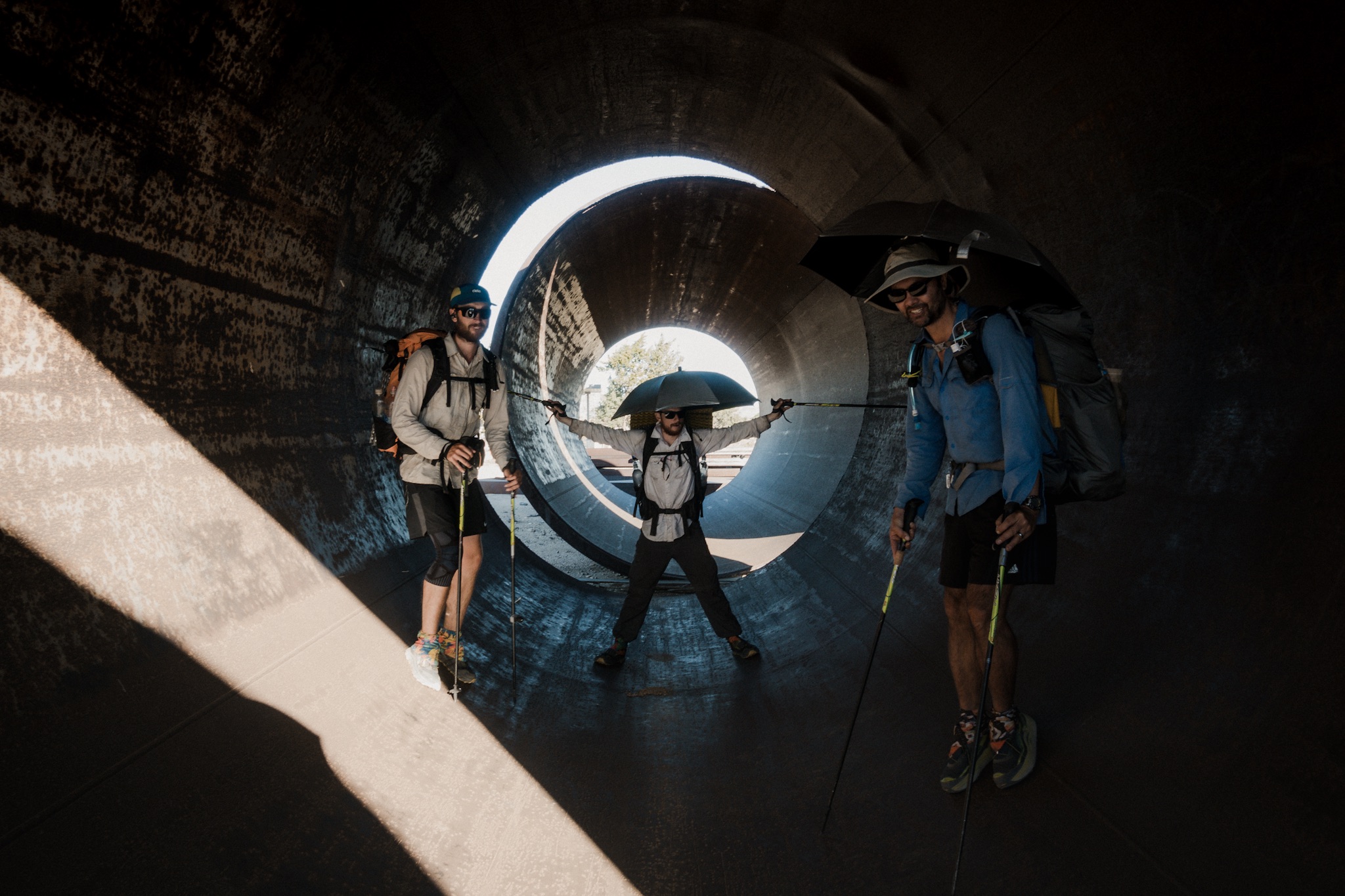
Note: as my camera is still broken (see day 25), all photos here are from iPhone 7 Plus.
What a night. I woke up around 3am feeling all wet. Wondering if it had rained I started to look around in the dark and noticed everything was covered in light layer of frost. We had cowboy camped right on the shoulder where all the clouds from the sea pass through and they had dumped all the cold moisture on us during the night.

My gear all wet after the night.
My sleeping bag was at parts completely soaked through, and I noticed a puddle of water inside, next to the zipper. Uh. I was too tired to care, and it was still warm inside the bag so I just positioned myself around the puddle and went back to sleep.
I woke up again at 5am, hoping I had just dreamed all that. No such luck. By this time everyone else was also waking up and wondering what had happened. No one else had water in their bag. I toss and turn a lot when I sleep so I must just kept melting the frosting on the zipper, and slowly piling that in the bag as I moved around.

Morning climb.
We were again in no hurry as it was going to be a colder day so everyone moved over to the picnic table to dry their stuff up. While we ate breakfast we talked about the water carriages for the day, and how far people were hiking. Wilder and some of the girls were pushing for the longer option, and Blü was doing the shorter one. I decided to see how the day would progress.
As my bag was soaked, and I wanted to dry it and not compress wet down, I stayed back as others left. It took about 35 minutes for my bag to dry in the morning sun.

Climbing up from the shade.
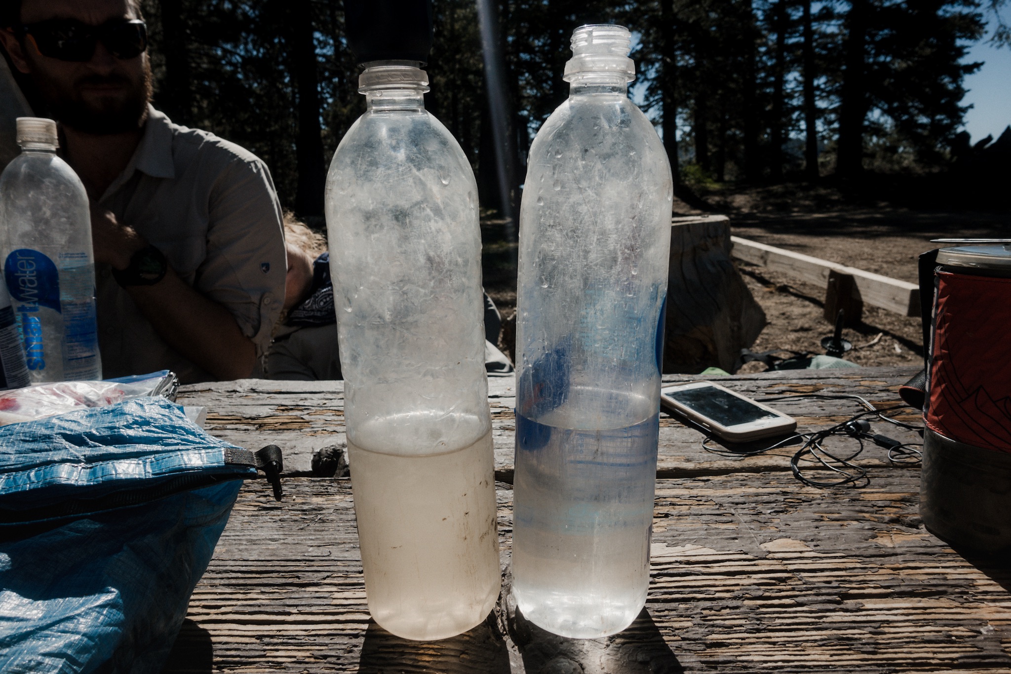
I filtered a liter of water for the 7 mile carriage to the next source, cameled up another liter, and then started heading down to the trail. To get to the trail I passed by the campground and surprise, Sunshine was there. As I didn't see her yesterday I was certain she had stayed few miles back up on the ridge. Derek and Kelley were there also.
We sayd quick hello's and I crossed the highway to get to the trailhead. As I was doing that, a pickup pulled next to me and a man named Jim approached me, asking if I could help his crew. They were doing trail maintenance and asked me to record the trail mileage for all areas on the ridge that were overgrown. They were approaching me from the other direction and we would meet later in the day. We shook hands and I thanked them for the awesome work they were doing by keeping the trail open and hikeable.
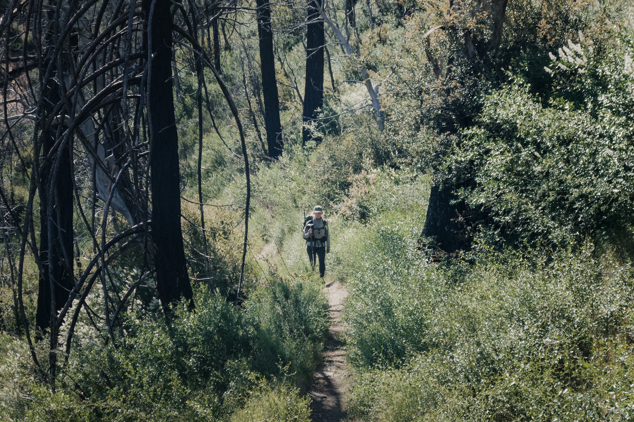
Sometimes the trail is green.
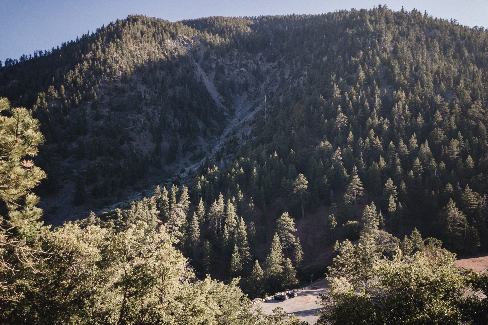
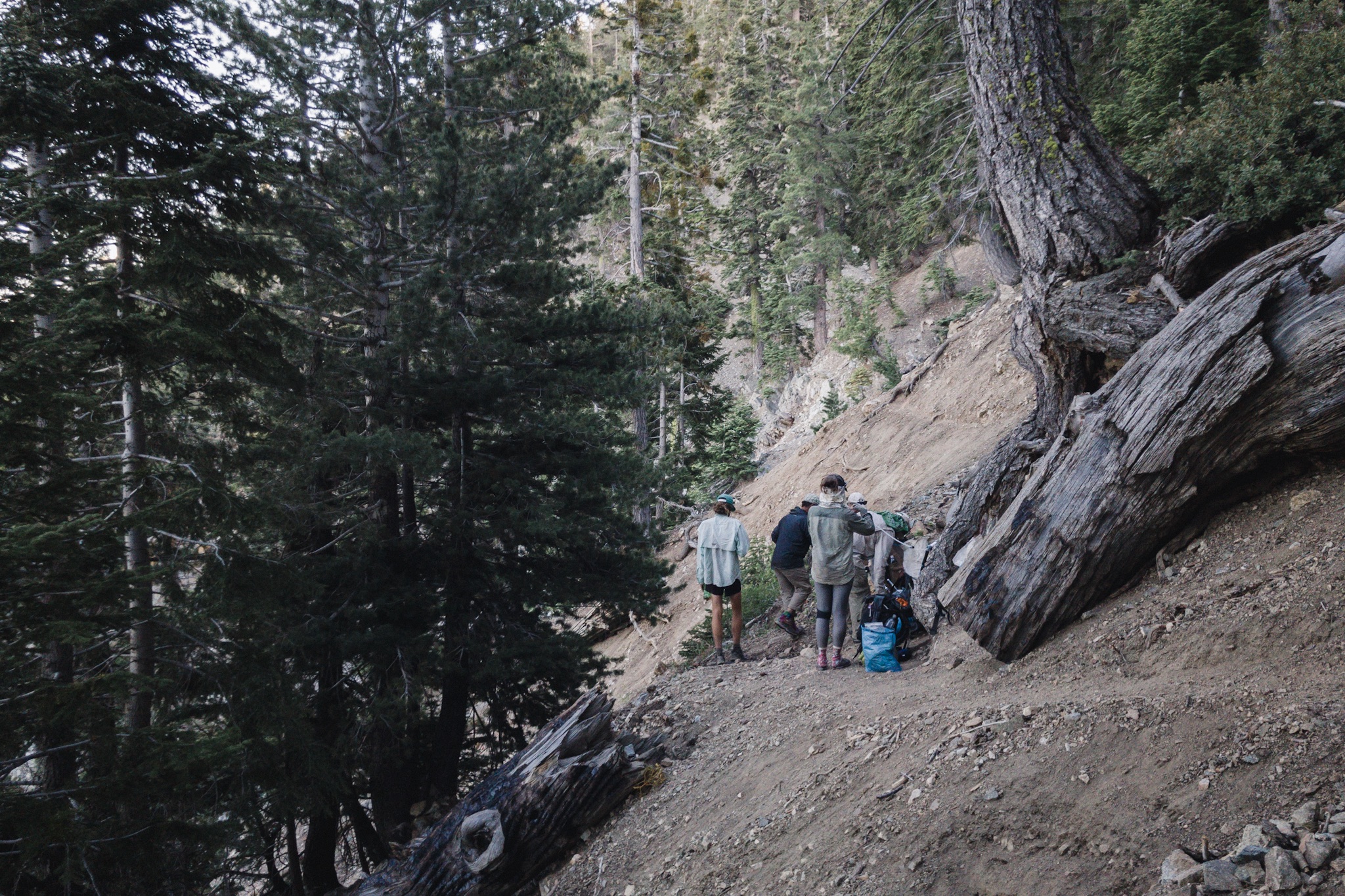
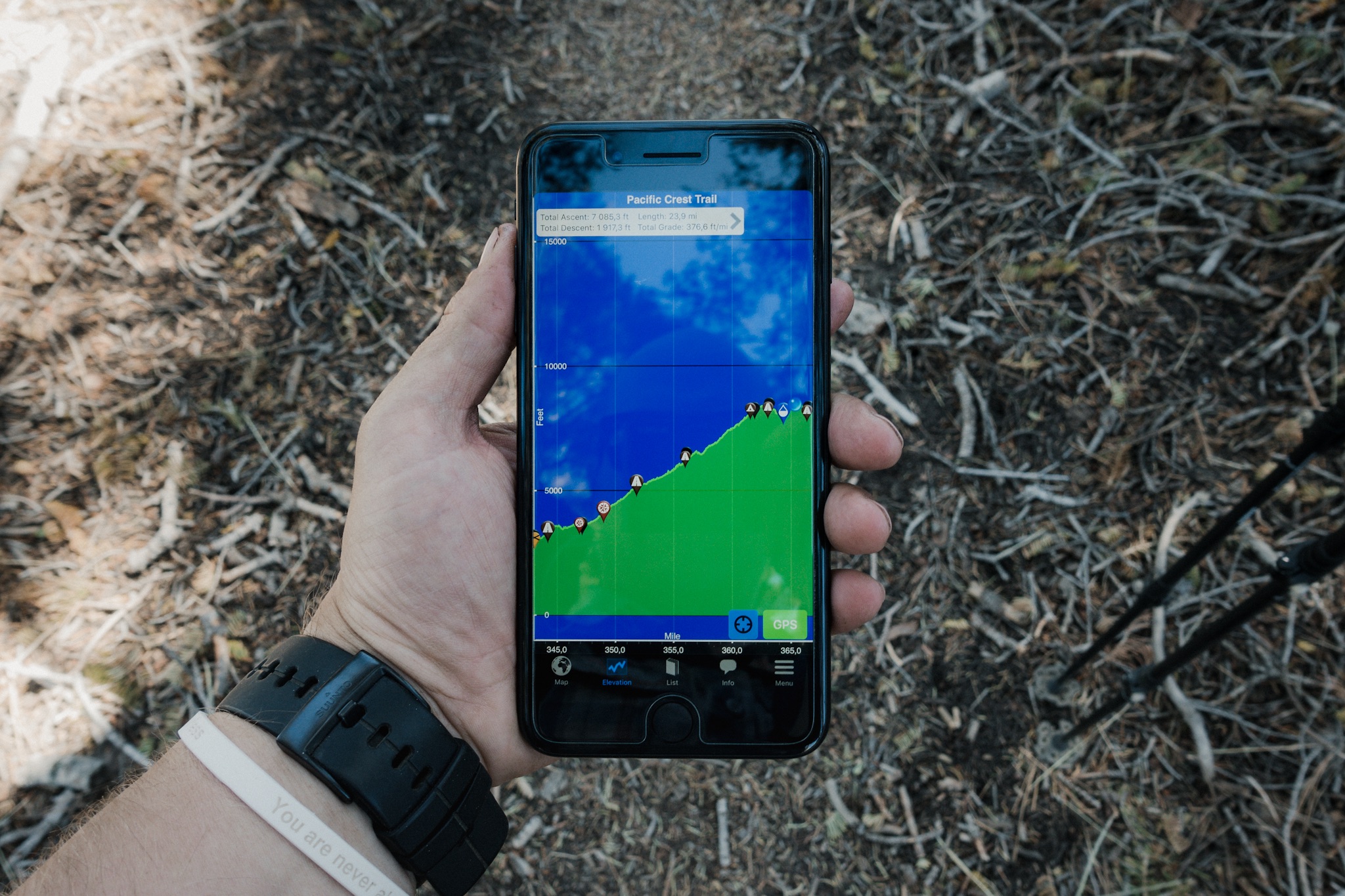
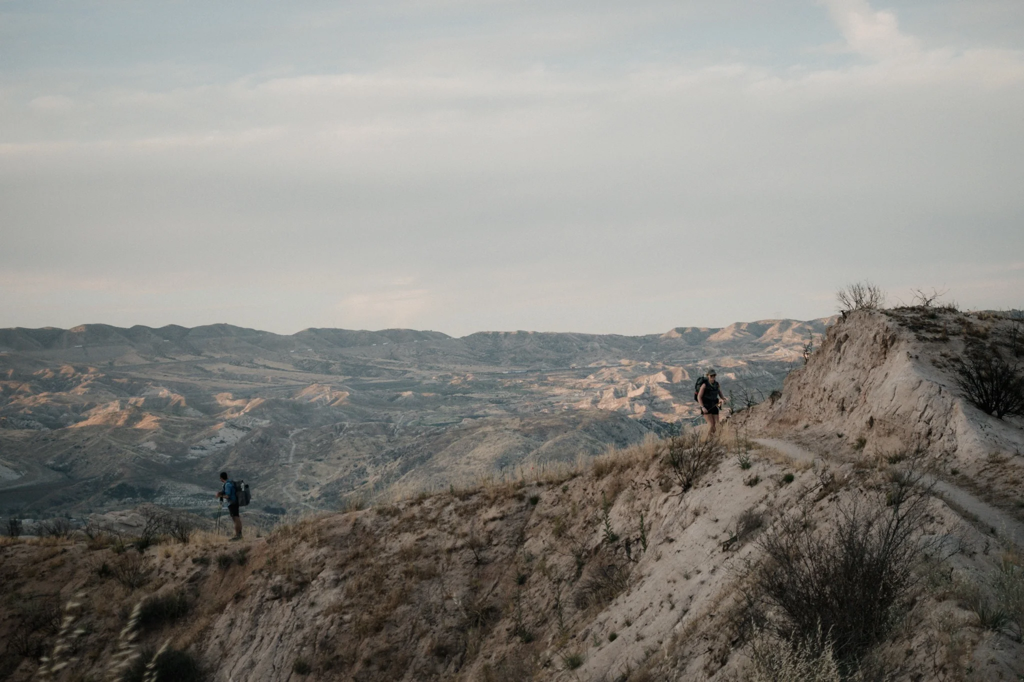
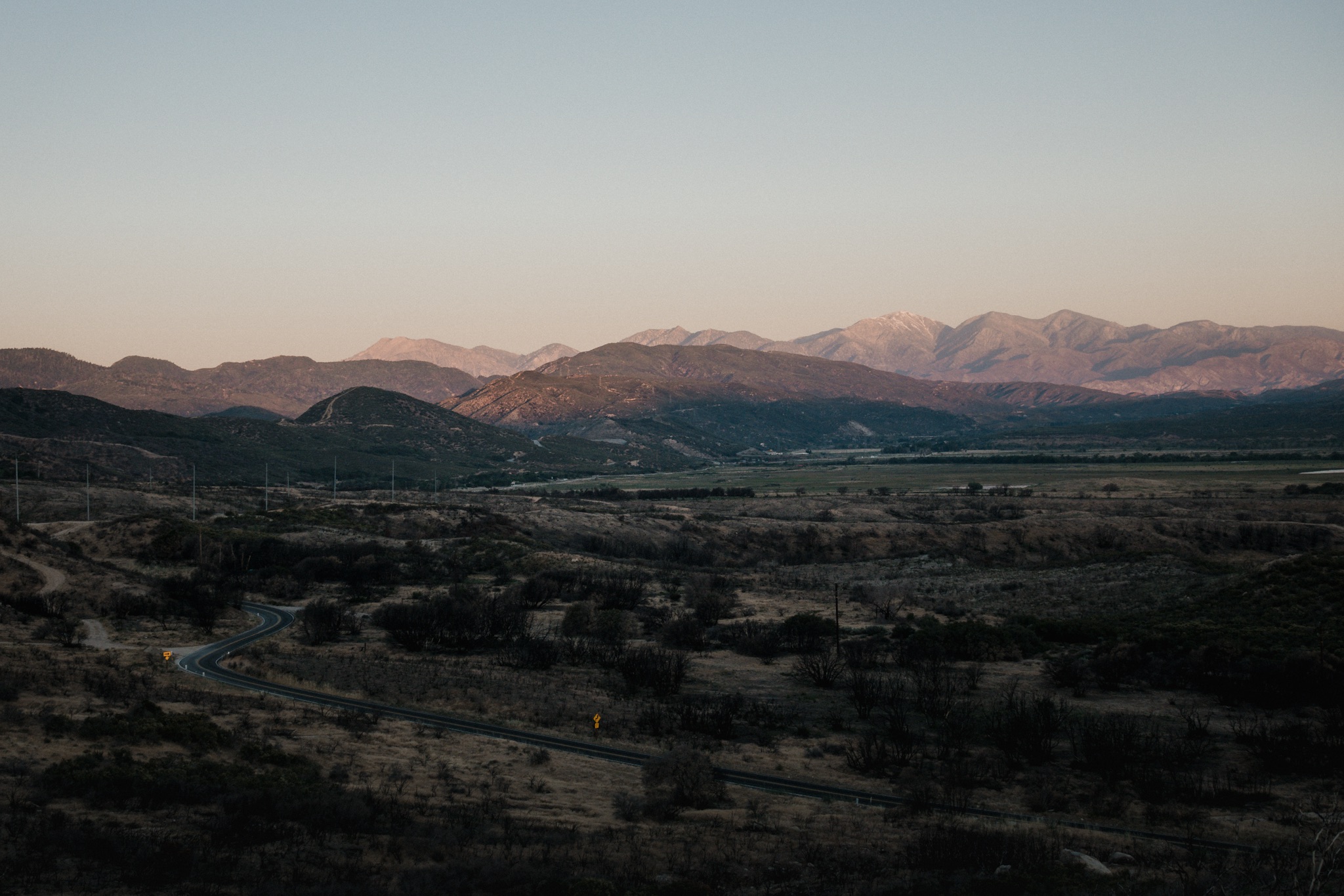
Today was again going to be a funny day, as due to the fire closure, we could either hike to the ranger station, making it a 17.5 mile day, or hike to KOA, making it a 26 mile day (41.8km). As I was climbing up the first hill up to the ridge line, I looked at the elevation profile and it looked pretty easy, in PCT terms. We had few over 1,000 feet climbs, but it was mostly downhill towards Aqua Dulce. This would be the theme to come for several days as we're slowly descending towards Mojave desert floor.

Baton climbing up.
During the morning I passed many spots of Poodle Dog Bush. By now I could tell when I was approaching them by the awful smell of the plant. Luckily they weren't directly on the trail and were easy to avoid. It's just another annoyance to look after both, rattlesnakes, and Poodle Dog Bush.
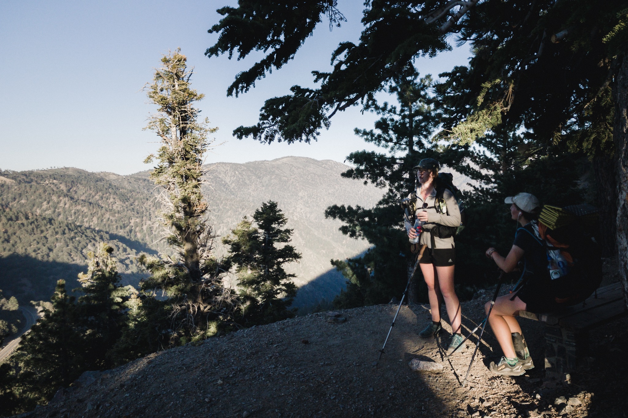
The trail was again easy and fast. At one point I was taking photos and Sunshine caught up to me. Guess I was going slow with all the pole twirling and singing along to the music from my headphones. We made the last mile to the water source together and met Blü and few other hikers there. I had barely touched my water so far.

Resting on the water source.
As Blü and Sunshine continued on after filtering enough water for the next 10 miles, I stayed behind to eat a bit more as I was getting hungry. The day was going fast. If I would continue with similar pace I would be at the Ranger Station some time after midday.

There are flowers on the desert.
Shortly after I left the water, I met up with Jim and his crew and gave them the coordinates to the overgrown areas. It's a good thing that they are working on these as there was one section where many of us almost fell from the trail as you couldn't see your feet through the thick brush and the trail just disappears. My hiking pole saved me from tumbling down the face of the mountain on that one.
As I hike after Blü and Sunshine, I see couple of snakes, hummingbirds, countless lizards, and few chipmunks. The chipmunks always crack me up, they're so cute.

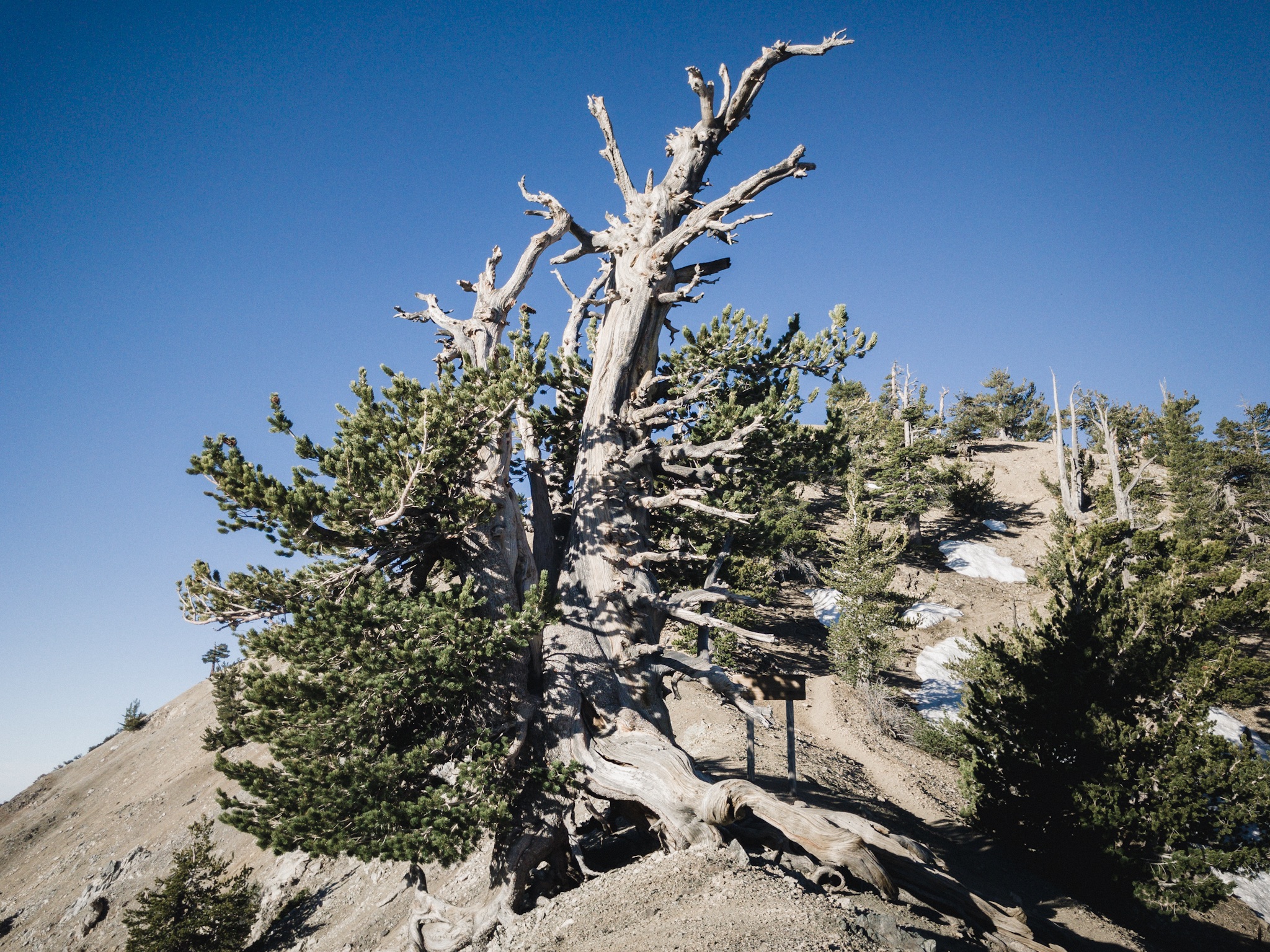
The views are always amazing.
At one point, up high on the ridge line I notice my phone has reception and I quickly call my mom. I also notice I've gotten some comments and messages from readers and read through them. Talking with my mom and all the nice messages get me on such a good mood that I smile for the next half an hour and hiking feels really good. I can't wait to get to Aqua Dulce to answer everyone's messages.
Trail legs

Climbing up.
Lately I've noticed that most of the climbs don't feel that bad anymore and I can just simply power through them with almost no change in pace. I can also easily hike for three-four hours without stopping.
We're getting to be about four weeks in on our hike and that starts to be around the time thru-hikers start getting their trail legs. It will take another two to four weeks to properly have them, but I definitely notice a difference. Now that I see that we're about to go up on a mountain, I don't feel like I'm going to die. I still dread the over 3,000 feet climbs, but those are rarer.
I catch up to Blü and Sunshine as they are taking a siesta under a large pine tree next to the trail. While I feel like hiking on, the shade and the possibility of eating more, are just too much to pass by. I scavenge my food bag for something different.

Sunshine literally sleeping on trail.
After some Nutella tortillas I have to move back to the sun as it's too cold in the shade. Blü sleeps in his sleeping bag and I climb next to Sunshine on a log. We talk about important things like which way we put a roll of toilet paper on a holder, and whether we put salami or cheese on top on a bread. Then we fall asleep, right on the trail.
I get woken up as few hikers come by. While the two still sleep I gather my things and continue on.

Soon I reach the Ranger Station and meet familiar faces there. But not Wilder and the girls. I've missed them by few hours. I want to push on but not knowing where Wilder and others are planning to stay, and not having any good plans, I sit down and enjoy the one dollar ice-cold drinks that you can buy from the Ranger Station.

How many hikers can you fit on a picnic table.
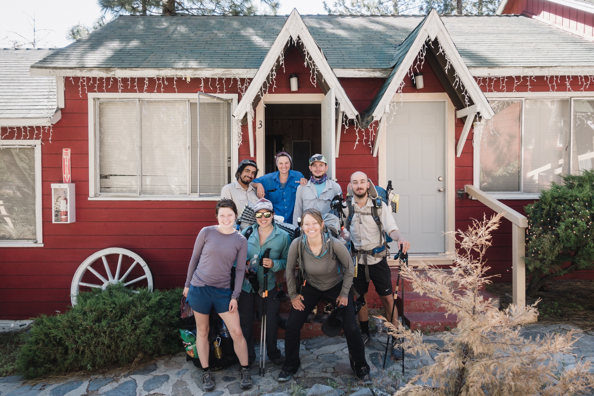
Sitting down was a mistake. I get lazy and the cozyness and the amenities of the campground, versus hiking 8.3 miles alone to unknown, get the better of me and I get soft and decide to stay. Blü and Sunshine arrive. A little later Pony Express and Queso Grande also arrive. We haven't seen them for over a day. It's great seeing them again as our little group has been getting smaller and smaller as Fyre and Blis are off the trail and Andrew and Dragon are somewhere behind us.

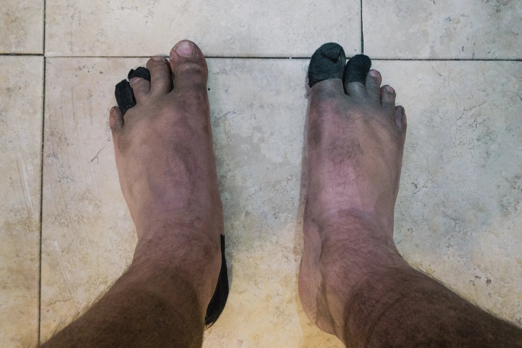
Hiker hands.
We all sit around the picnic table, sing and play ukulele, and have a good time. At times this feels more like camping in a group, just doing long miles in between.
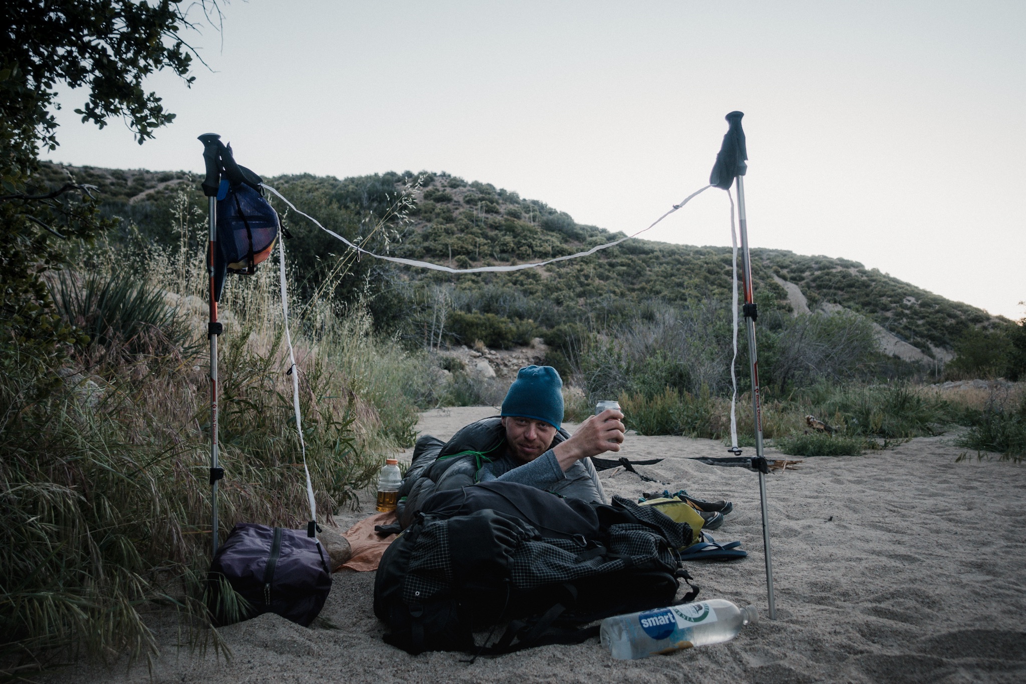
We cowboy camp again and I fall asleep listening to the power lines rattling close by. Tomorrow we push to Akton and then to Aqua Dulce.
Sponsored by:
![]()