Day 14: Whitewater Preserve

Date: May 13, 2017
Miles: 16.7 miles (28.9km), from Interstate 10 highway bridge to mile 226.2.
Health: Tired. Legs are still hurting from San Jacinto. Did not sleep well under the bridge.
The night was just horrible. It was a mix of constant buzz from the highway above, occasionally interrupted by the freight train going by, and getting sand blown into your mouth by the constant wind. I tried to shield myself from the wind by hiding behind a rock but that only helped a little.
This also meant that I was in the light of the highway, not in the shadow like Blü. When I looked up I could see the stars and the highway sign for Exit 110.
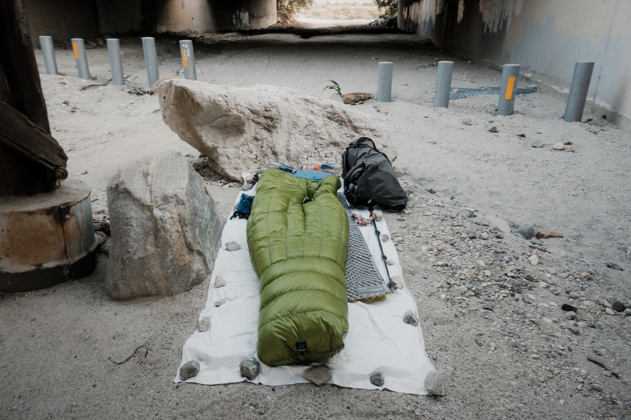
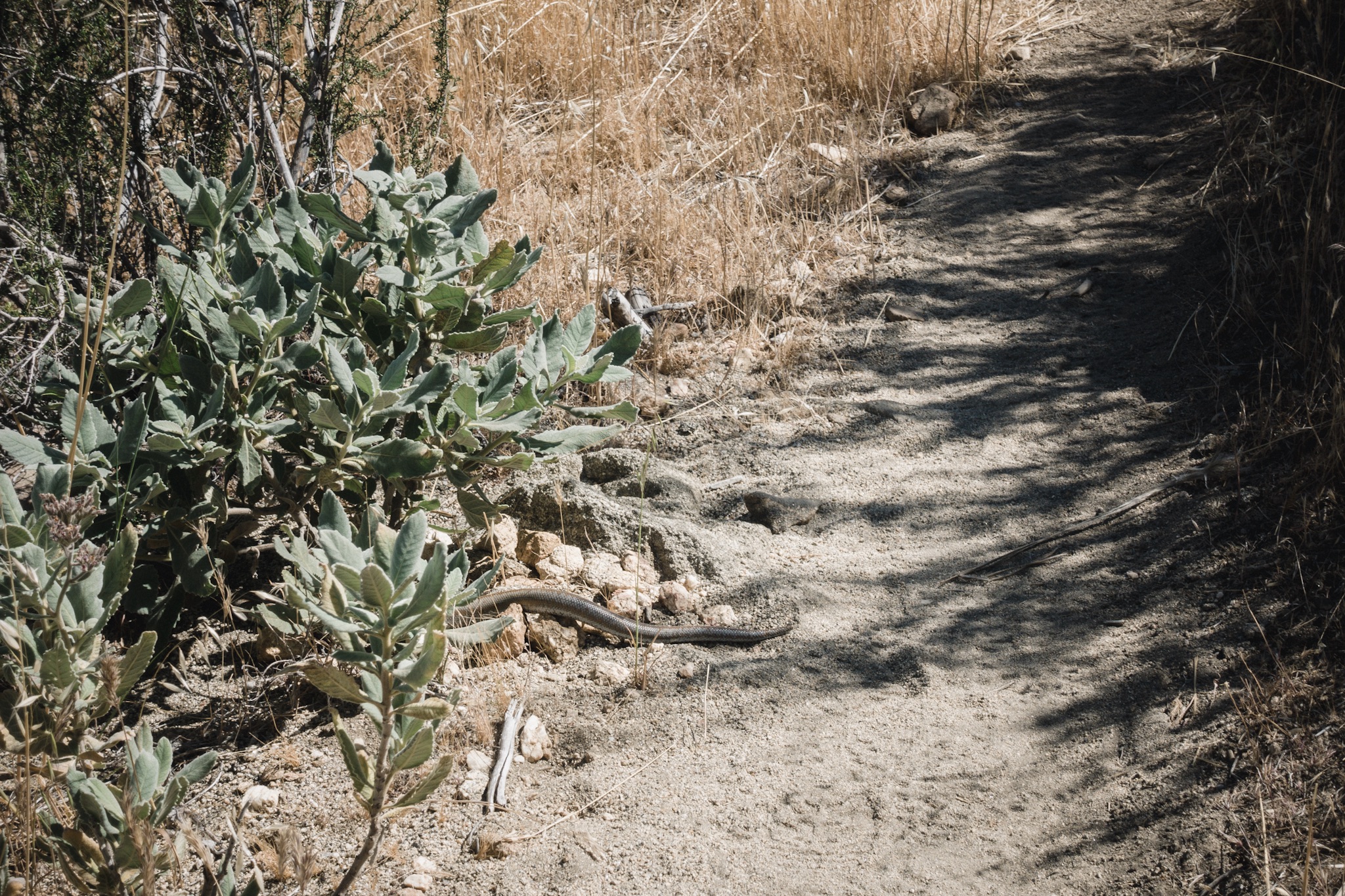
Where I slept last night.
I finally woke up to Blü calling me. It was late, 7am. He was already packed up and ready to go. I had woken him up earlier when I had tried to clear my nose from all the sand.
We signed the wall under the bridge. I was still tired and cranky so I wrote my name and "did not sleep well". I later realized this was stupid as it wasn't the fault of the trail angels that I had slept badly here. I wanted to go back and write something nice as their cache was one of the best I've seen. I mean, who doesn't love ice cold beer in the middle of the desert?

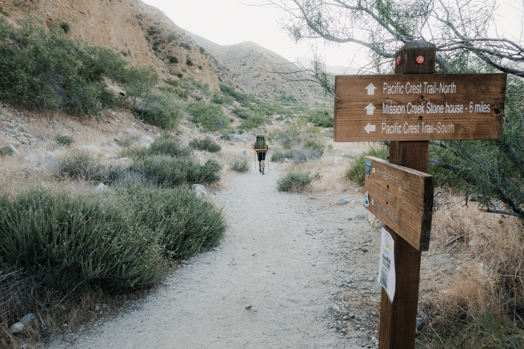
Blü left before me and I stayed behind, getting my things together. Strange that the others hadn't already caught up to us, they were only 4 miles behind us and usually they start early enough to already be here. Maybe they got trail magic from Coppertone on the way here?
As I got up from under the highway, I saw a dirt road with a pickup pulling up. Six or seven hikers come out of it and Neal and his brother are among them. I hear that they had first scored a ride to the nearby town to go eat at In 'n Out and then been invited over by another trail angel to spend the night with him.
So they were all well rested, clean, and they even had a breakfast. Neal's been constantly getting the best trail magic on the trail while we others seem to just miss it by a day or few hours. I think there's an theme for a trailname for him.
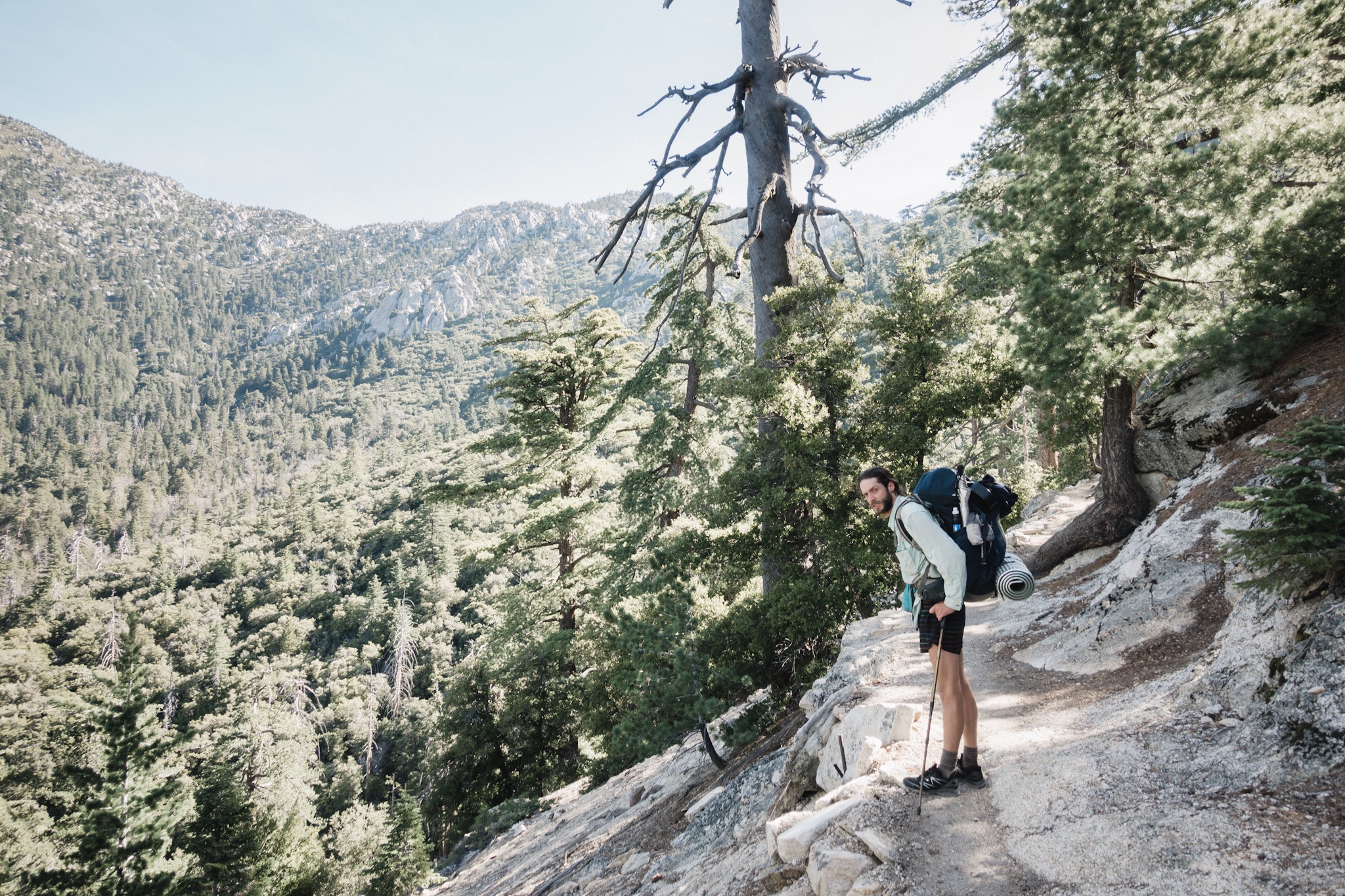
We all hike out towards the mountains and the wind farm in the distance. I'm soon way behind as my legs are totally wrecked from the over 20 mile descent yesterday. I have to stop every now and then to stretch my legs and soon that starts to helps, I'm gaining speed again.

Mesa wind farm.
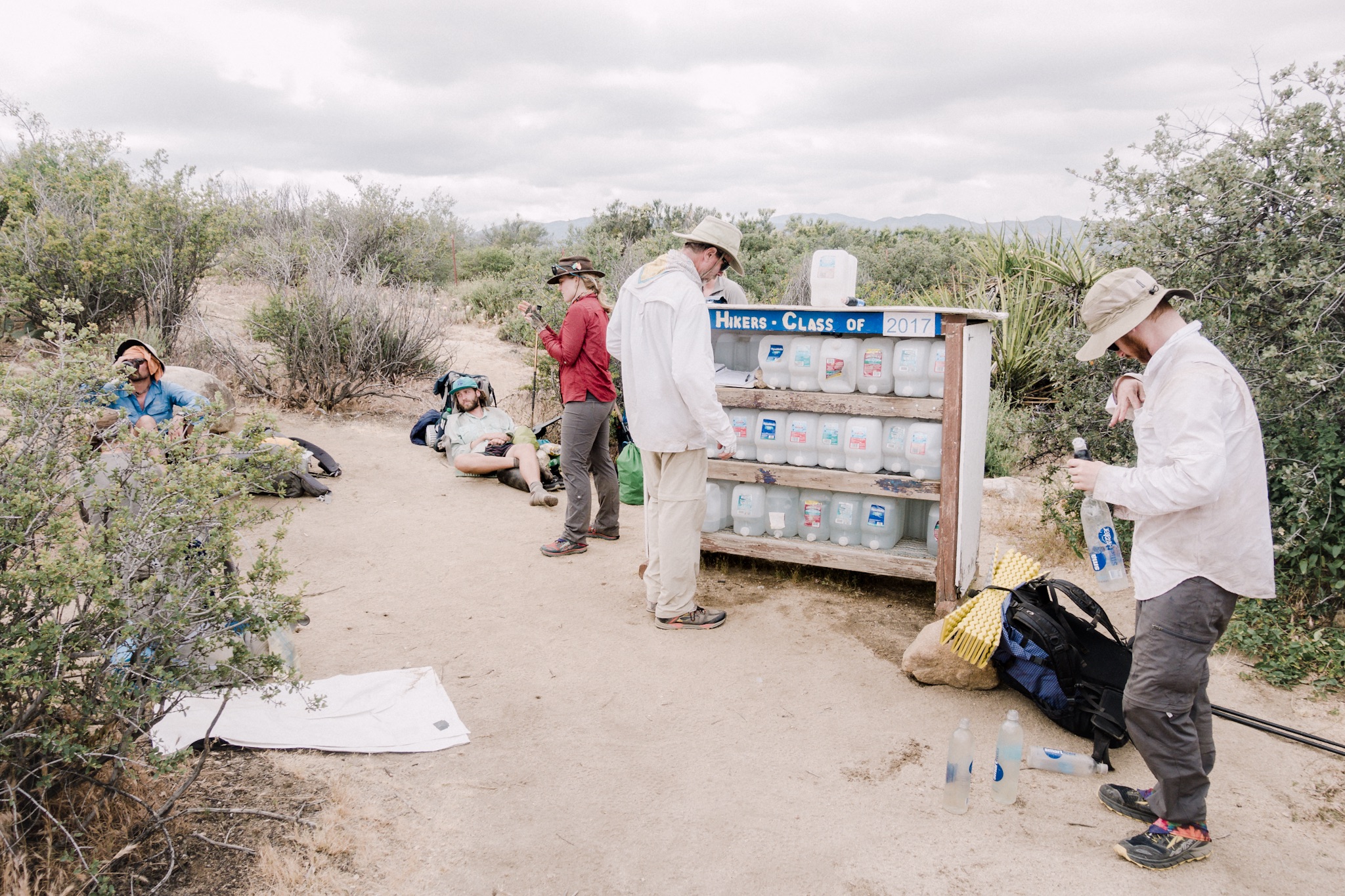
I hike past the wind farm and see a sign that says "Water and Shade". Water report says that the wind farm offices maintain a water cache there and they are very hiker friendly. While that sounds tempting, it's too early to take a break. I want to use the early cool hours of the day as productively as possible.
Soon I'm looking at a long climb and as the sun starts to heat the air again, I slowly start to climb upwards. As the sweat drops from my forehead, I question the sanity of hiking 2659 miles across multiple mountain ranges. My motivation is kind of low. It must be the bad nights sleep and the hunger. I pull a Snickers bar from my pocket and start to eat it as I climb.
Out in the desert you have to eat the chocolate bars early in the morning before they have time to melt!

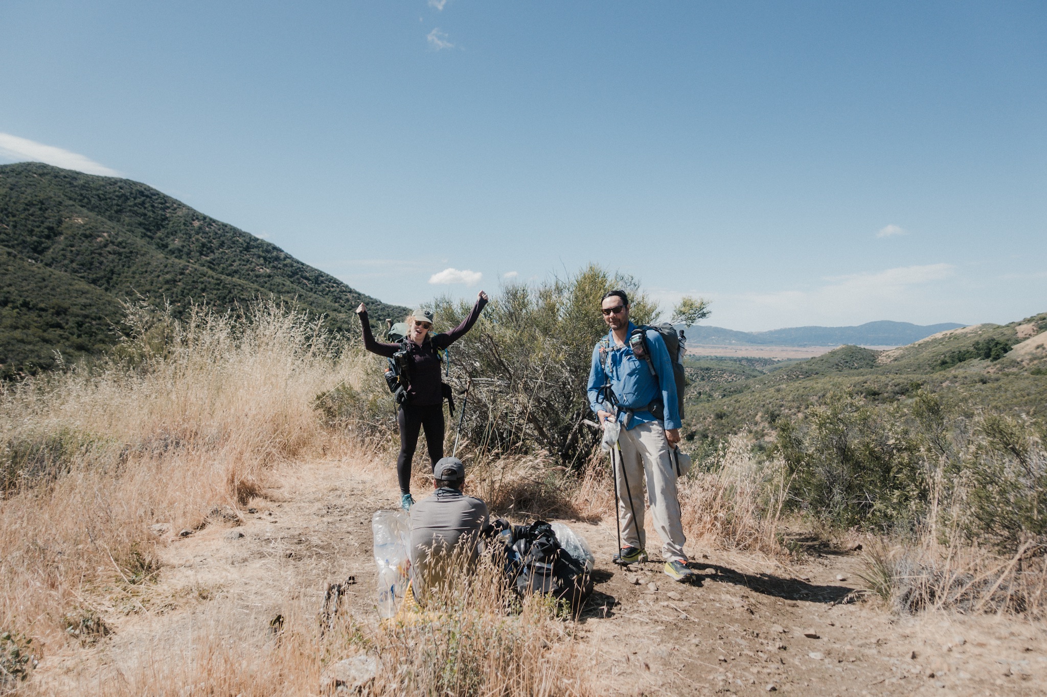
Neal and Aden hiking up switchbacks.
About mid way up I spot a perfect spot for a shade and a break. I get in the shade and start eating the trail mix I scored from the hiker box in Idyllwild. Soon I see hikers coming up the hill and it's Neal and his brother. Wait, how did I get pass them?
They had taken a break at the wind farm office with water and shade. It was a little of trail so I didn't see them there. I shoulder my pack and follow them for a while but the hill keeps getting steeper and steeper and at one point when the grade feels like 40 degree angle, I can't keep up with them anymore.
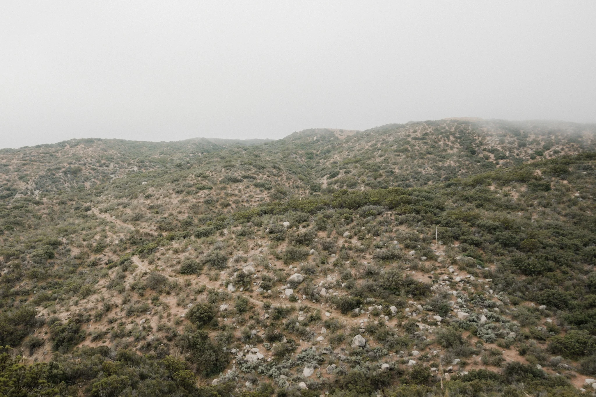
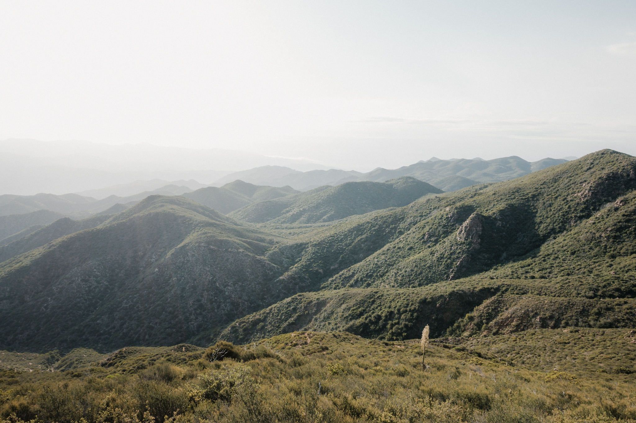
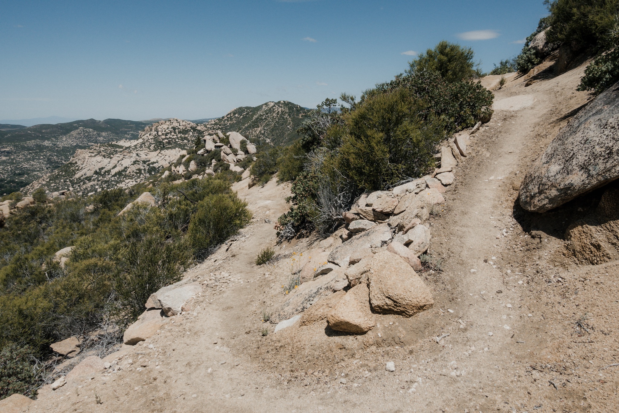
I keep going at my own pace and slowly get up the switchbacks. Even with my slow pace I soon get to the top. What a view! The valley opens up to a view of a mountain range with the trail slowly following the sides down to the valley. Not far downhill I can see Neal and Aden.

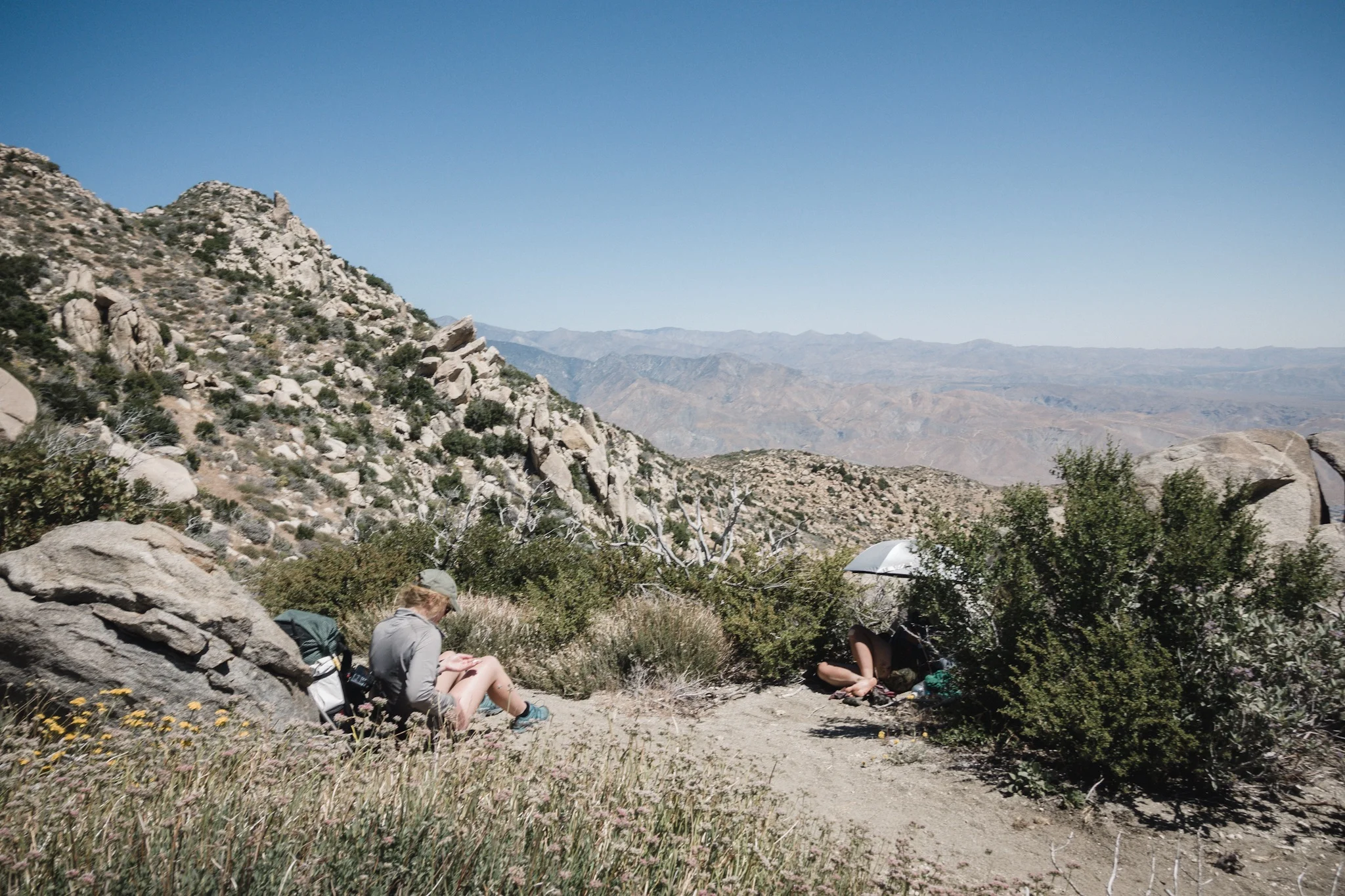
Find the hikers in the photo.
With a huge smile on my face I head after the brothers. My feet feel light as I head down and enjoy the beautiful sight in front of me. I think I even yelled out few times in joy.
The trail goes down to the bottom then climbs back up, only to go down again. I don't mind, everything just feels so good and I'm deep in the flow.
I keep leapfrogging with few other hikers and soon, on a high mountain path, the river where the Whitewater Preserve is, comes to view. I pick up my pace as I really want to get out of the heat and into the cooling water.
Also, I can't wait to see the rest of our trail family.

The trail.
While I can constantly see the river, the actual junction where you get off the PCT and turn towards the Preserve is still few miles down the trail. About a mile from the junction I meet first two young kids running, and then their parents and their dog. The poor puppy keeps panting in the heat and I stop to give him few scratches. The parents tell me they’re on their way "to the top of this thing". I ask what do they mean, at the same time looking at their gear and small, half consumed water bottles.
They point at the mountain and tell me they want to climb to the top to see the views. I tell them that the trail doesn't go to the top, but instead goes on for miles and miles on the side of the mountains and that there are no water sources or shade for many miles.
I continue down the trail while hearing the parents call out for their kids to turn back. Smart decision as they had barely any water and they were heading out in the hottest part of the day. As I continue I meet other day hikers, all going uphill. As I don't want to be a buzz kill, I just tell them to have a good time and try to see that they have even some water with them.
I catch up with the two hikers I've been leapfrogging and together we hike the 0.6 miles off trail to the Whitewater Preserve. Not knowing where to go we just follow the trail and make our way to the ranger station. There I find Aden and soon Neal joins us. By the Ranger Station there's a large park with green grass and big trees that provide a lot of shade. A perfect place to take a siesta!

Him and not him.
Aden sets up his hammock and me and Neal set our sleeping pads under the tree. Soon we're all sound a sleep. I wake up to the cold wind and take out my sleeping bag for some warmth. Neal has already done the same. We wonder where everyone else is, but fall back to sleep soon again.
After three hours of sleep we start packing our gear and getting ready to head out again. While we're making dinner, we're approached by a lady who informs us she's a trail angel. We have a long chat and she informs us that she's coming back tomorrow to provide trail magic here in the preserve. Sadly we're going to miss it.
Me and Neal head pack on the trail as the sun is setting and Aden stays in the preserve. His feet are hurting and he needs a little rest. Still no sign of everyone else. Wonder where they spend their siesta?

Looking back at San Jacinto in the distance.
The trail from the preserve is easy and flat and we enjoy hiking it, still keeping the fact that we still have a lot of climbing to do tonight in the back of our minds. As the sun keeps setting behind the mountains the views are simple breathtaking. We are so taken by the scenery and easy flow of the trail that we accidentally miss the last water source before the mountains and have to hike 0.4 miles back.

After the water source the trail starts to climb up and the combination of the uphill and constant photo taking leaves me way behind Neal. As I hike alone between the mountains in dusk, all the warnings and stories about the mountain lions in the area start popping in my head. I start freaking myself out and start to hike faster to catch up to Neal, remembering how hiking in a group of two or more drops the mountain lion attack possibilities to almost zero.

Sun setting behind the mountains.
After about half an hour I catch up to Neal and suggests we hike in a group due to the mountain lion warnings. He agrees and we hike in the darkening evening light, marveling at the beauty of the Southern California.
We talk for hours, and keep accidentally disturbing others who are already camping as we can't see their campsites in time due to the vegetation and darkness. We don't use our headlamps, but instead hike in the light of the moon.

Hiking in dusk.
It's getting really dark and we're having trouble seeing in front of us. We come up on a ridge with thick underbrush when all of a sudden we hear a loud roar from the brush right next to us. We freeze immediately looking at each other in silence. In few seconds we hear another roar. Shit. A mountain lion? We wait standing totally still. All of a sudden we hear "Waka waka waka" from the brush, followed by laughter. God damned!
We turn the corner and there, behind the brush, are Blis (Theo), Dragon (Pin), Andrew, and Harvest (Mary). Oh boy, they got us good!
They've heard us approaching from miles away. Maybe we should think more closely what we're talking about as others can hear us in the night for miles. After some swapping of trail stories and where everyone else was on the trail today, Neal and I head on.

Night hiking.
Soon it becomes too dark to continue without headlamps. We hike on for a while until I turn a corner and see two eyes staring at me from the brush. I stop and turn the power higher on my headlamp. Now I see two pairs of eyes staring at us from the brush. I turn my headlamp at full power… a deer. We had disturbed two dear who were hiding in the brush.
I was way too deep in my head tonight.
We hike on for few more hours until we get to a river where we see few people cowboy camping and four or five tents. One person looked like it could be Blü. Instead of pushing on, we decide to stay here as there is water and it would be nice to wake up with others. We set up our tents as quietly as we can and quickly get to sleep.
Sponsored by:
![]()