Day 87: Donner Pass

Date: July 25, 2017
Miles: 19.6 miles (31.5km), from mile 1,144.9 to North Creek at mile 1,164.5.
Health: Feeling better again.
Today felt like a short day and I'm amazed I got the miles done that I did. I woke up late as I had only 8.5 miles (14.7km) to the Donner Ski Ranch. I had looked at the map incorrectly last night and instead of 10 mile waterless section, I had to only make it to the Donner Pass. As the Donner Pass Ski Ranch opens at 11 am, doing 3 miles per hour meant that I needed to leave camp luxuriously late at 8 am.
After leisurely packing up camp, I skipped the breakfast as I had my heart set on having real food at the Ski Ranch. Also, as I was out of oatmeal and granola breakfast would've meant bars. No thank you.
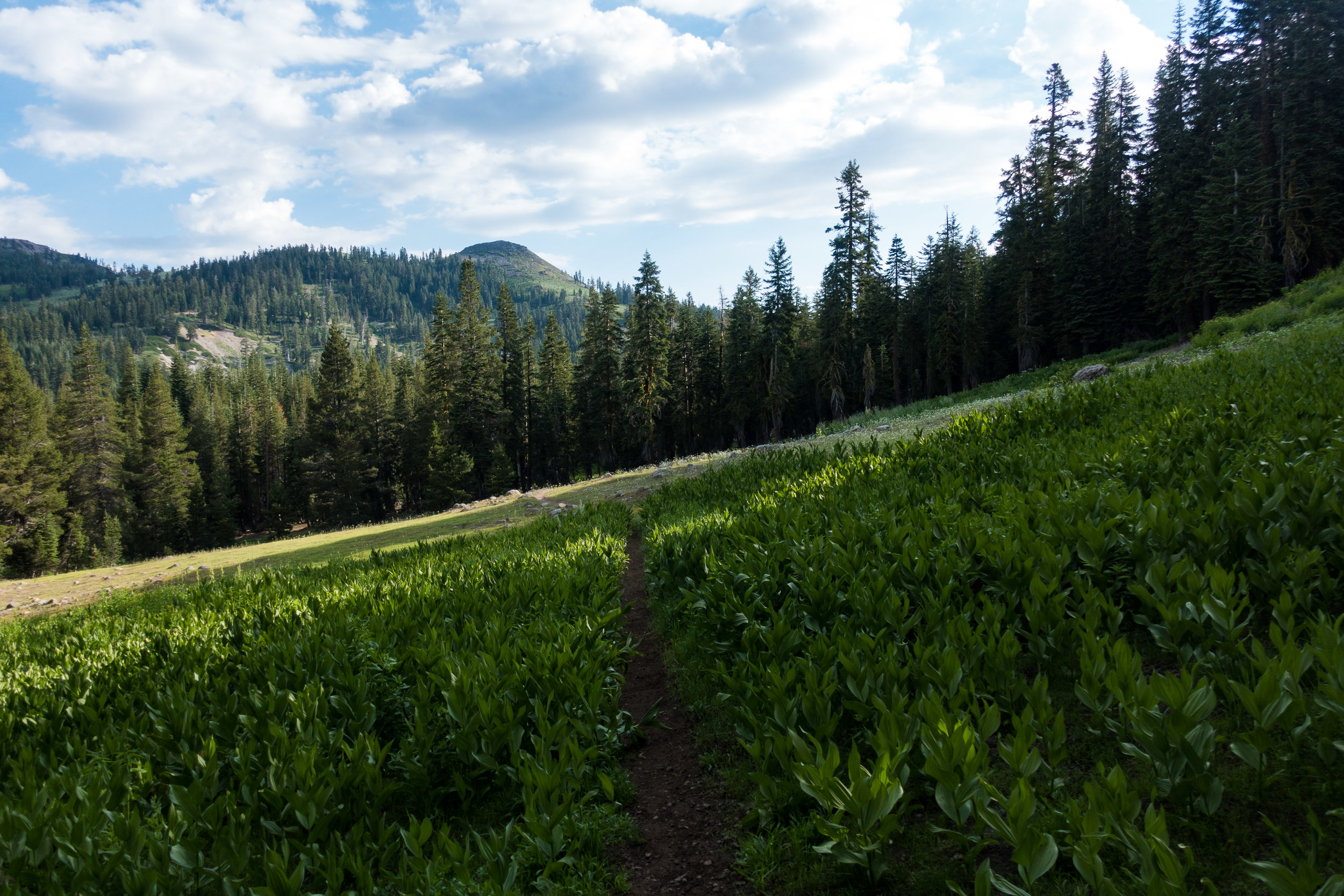
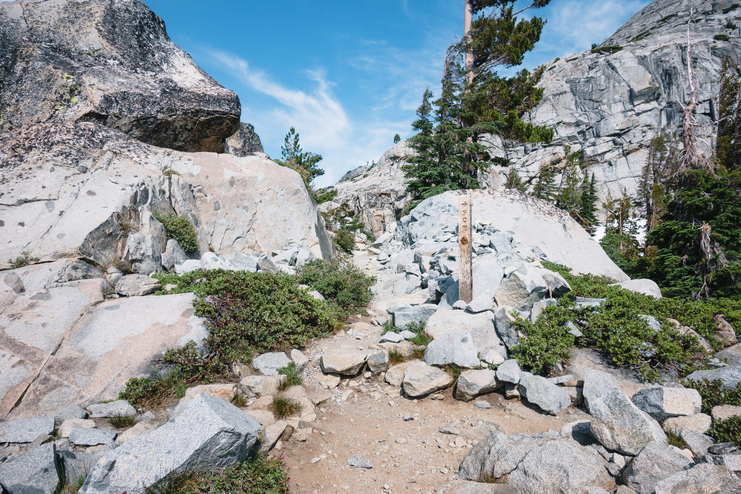
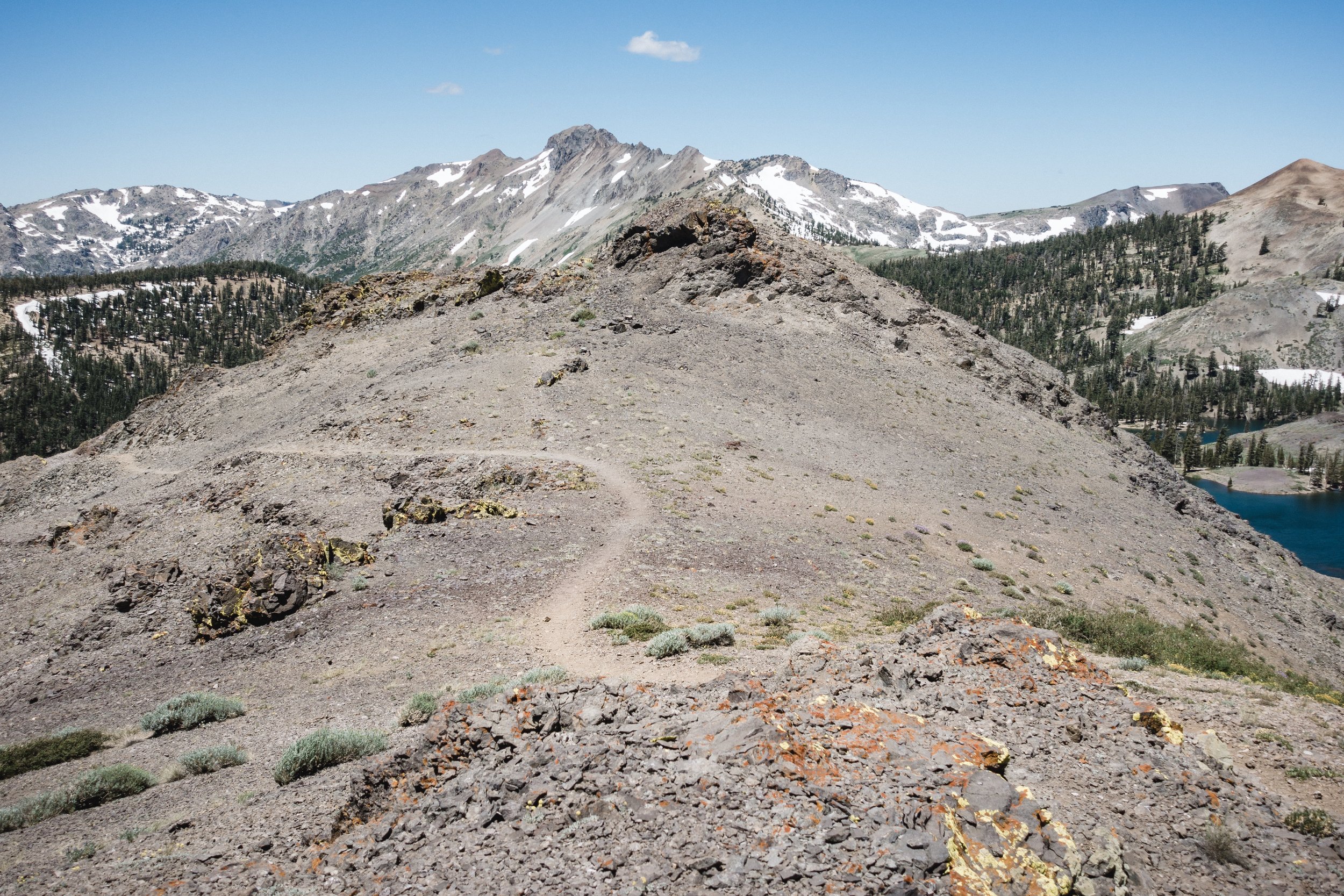
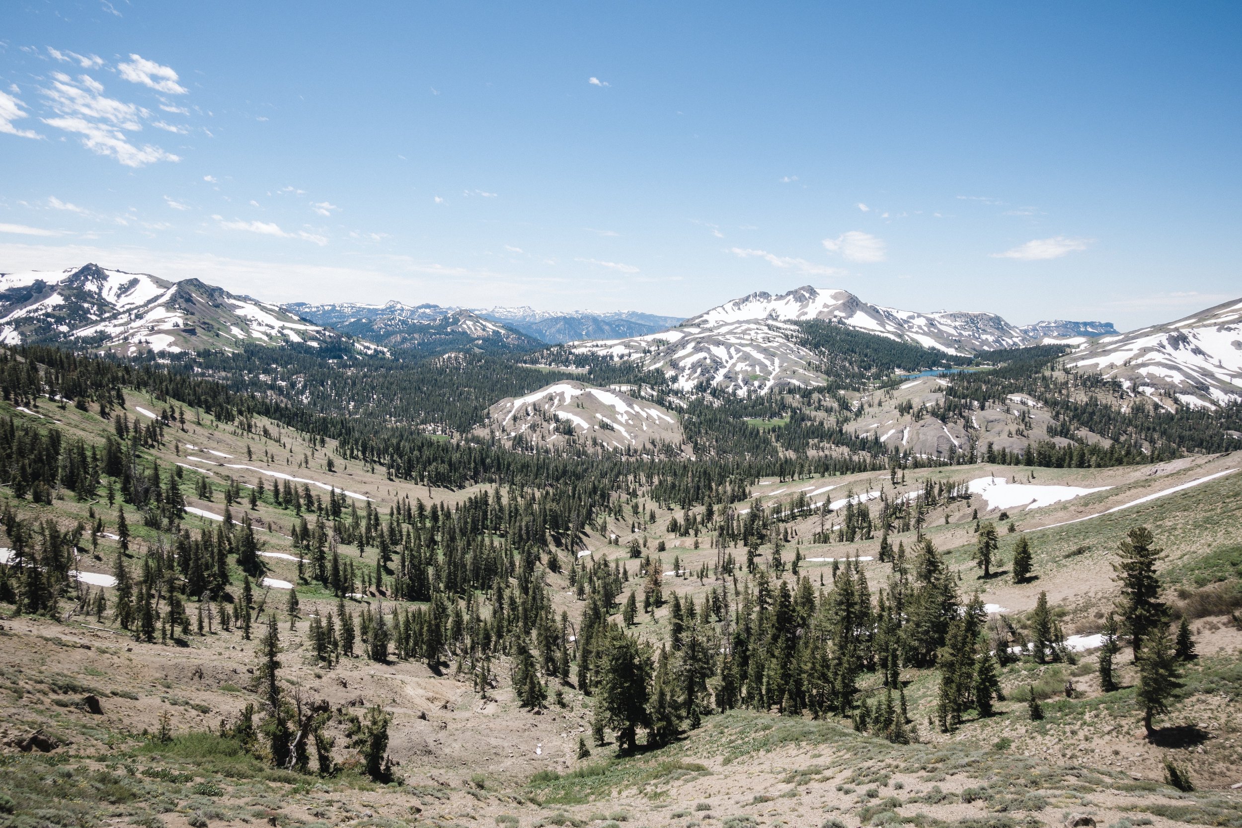
I climbed the couple hundred feet up from the forest I had camped at, to the ridgeline above, and started walking. All morning I had seen hikers pass by my camp but didn't recognize any of them. I thought they were either section hikers or faster PCT hikers catching up to me. As I soon started passing by all these hikers, even though they had a pretty good lead on me, I guessed they were section hikers. I felt bad watching them struggle in climbs as I easily cruised past them. They reminded me of how hard I struggled back when I started, almost three months ago. Has it already been that long? On one hand, Campo feels like I was just there, and on the other like it was forever ago.
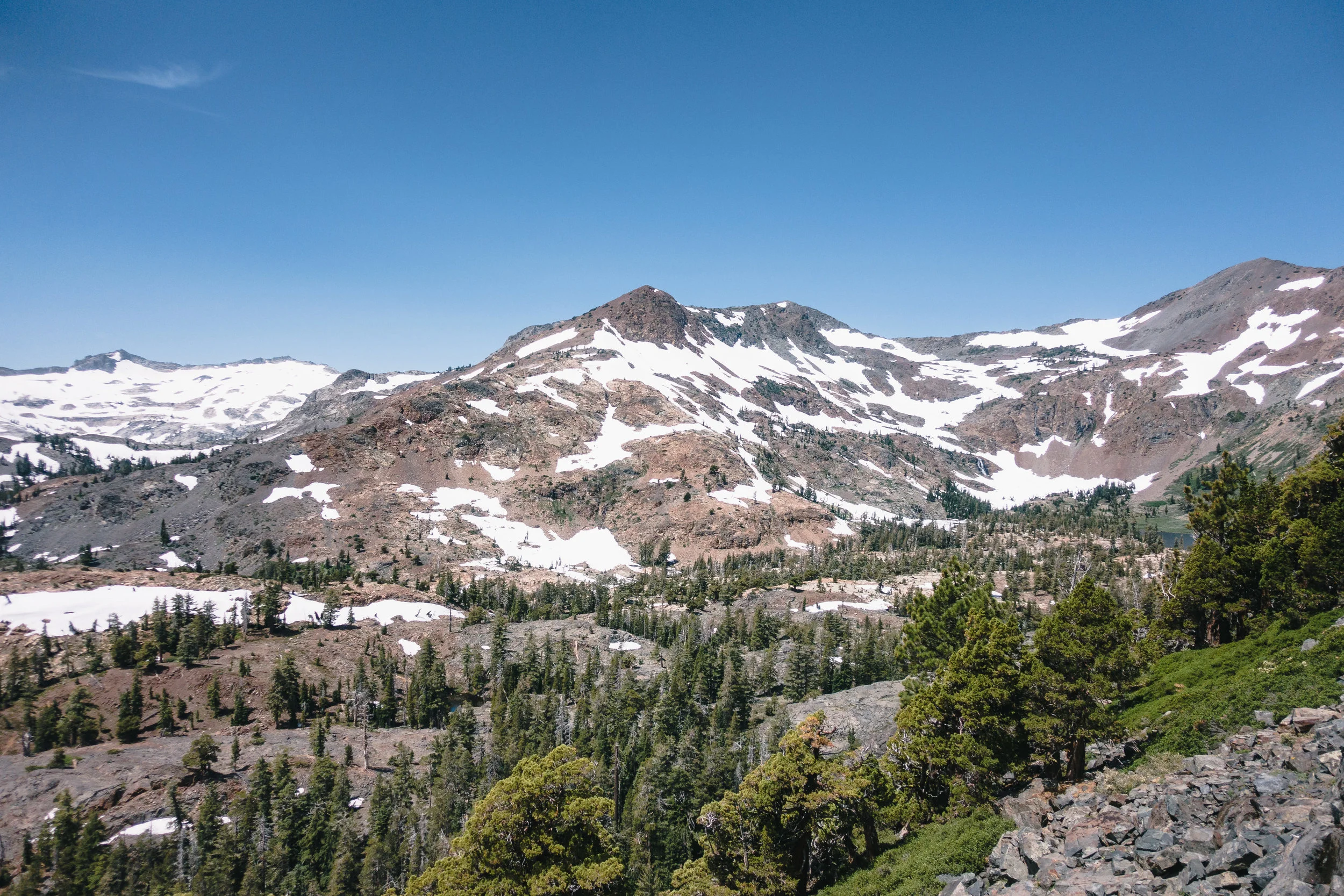
Morning views. You can see the smoke from the fires in the distance.
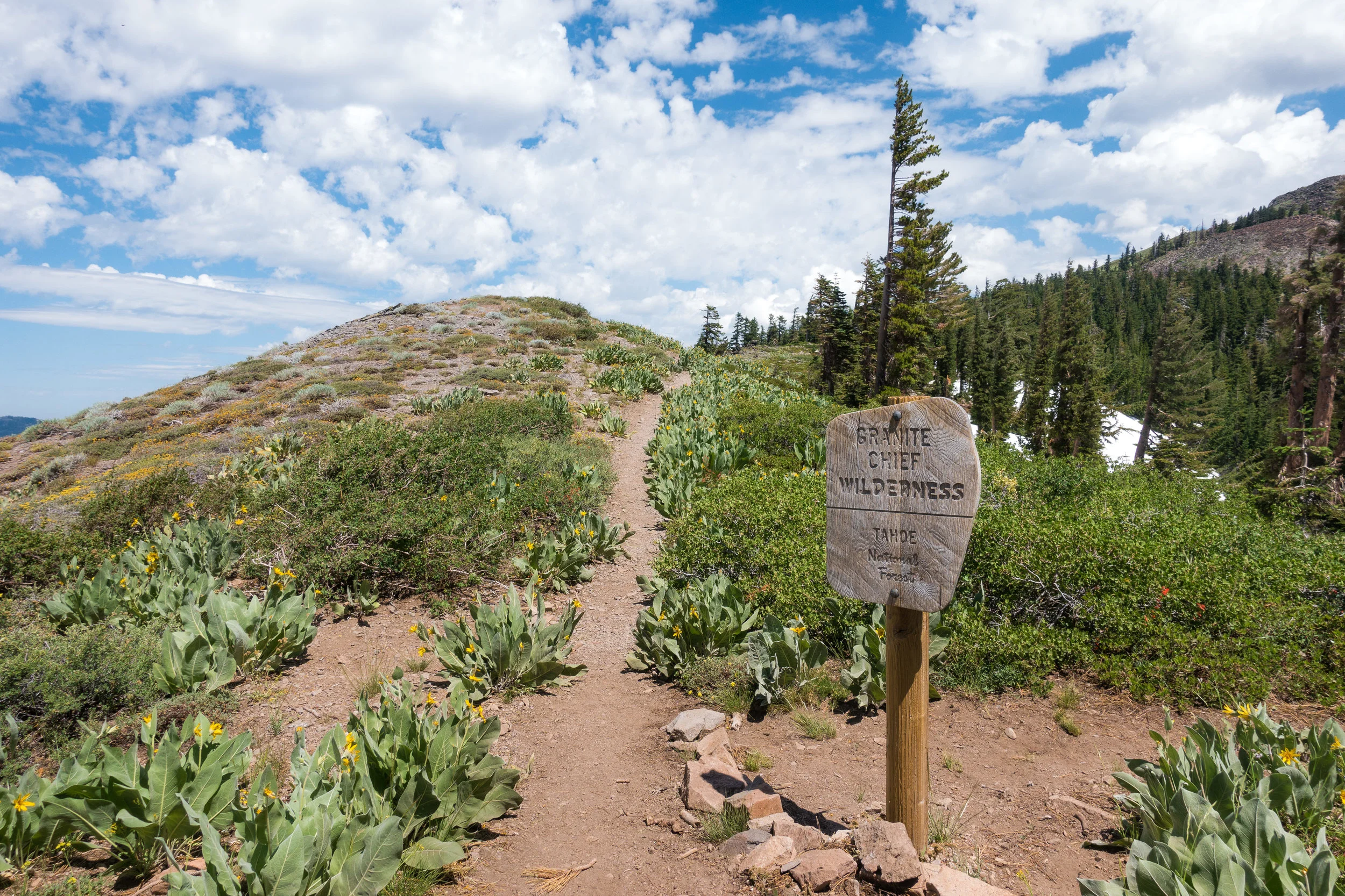
I kept hiking through the ski areas and soon the climbing up switched to climbing down. I could see the Donner Pass and the highway down below but I still had to get there. On the way down I kept passing people coming up. They were either PCT hikers who flipped and were now heading towards Sierra, or day hikers. I also met an older couple who were section hiking from Donner Pass to Sonora Pass.
As is the custom here, I greeted everyone and sometimes exchanged few words while giving them space. As they were climbing up, they had the right of passage. The person heading down should always yield way to the person climbing up.
One family of four asked me straight away if I was a thru-hiker. I said yes and their dad told me they had just seen others, and there are signs about thru-hikers posted on the trailhead. He also asked me if their daughters could ask me questions about the PCT and long-distance hiking. I told them I was in no hurry and to ask me anything they wanted.

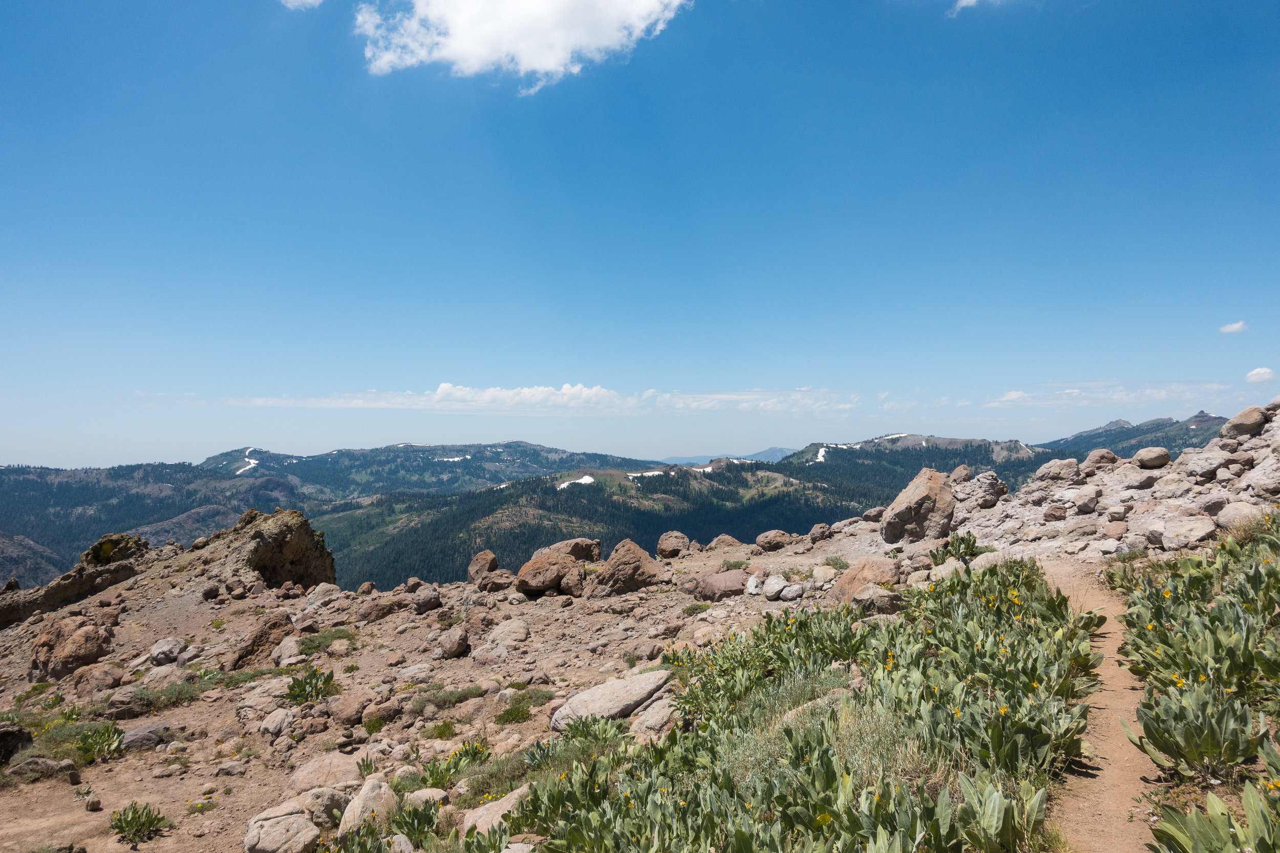
The highway at Donner Pass.
For about twenty minutes we talked about thru-hiking, hiking shoes, gear, where to start, can girls hike the PCT and the basic questions about the trail. I recommended that they look up PCT gear lists online and specifically woman thru-hiker gear lists (which are harder to come by). I also told them about the JMT and how it can be a great "trial run" to see how their gear works and if they actually enjoy long-distance hiking. It was nice chatting with them and their parents seemed to really encourage them to hike. I really hope they get on the trail and try long-distance hiking.
All these interactions meant that I wasn't moving as fast as I would have without them, but I still made it to the Donner Pass on time. From the pass, I walked along the road down to the Donner Ski Ranch where the restaurant is.
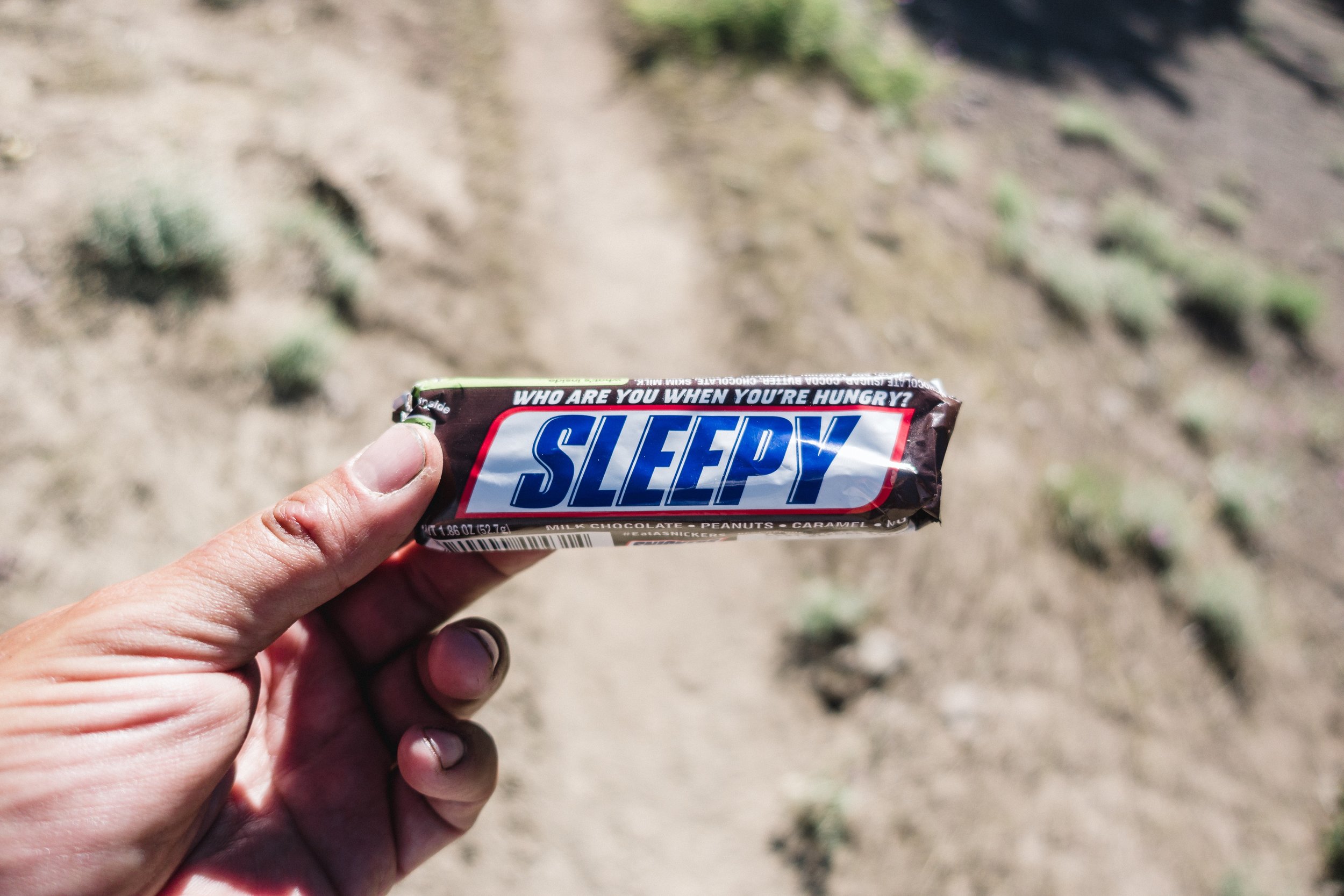
When I got to the restaurant I was immediately asked if I was a PCT hiker. I said yes and was told I had a free beer coming up. Free ice cold beer, the breakfast of champions! As I was enjoying my beer, I asked what food would be thru-hiker friendly and was told the nacho platter was huge and delicious. That's all I needed to hear.
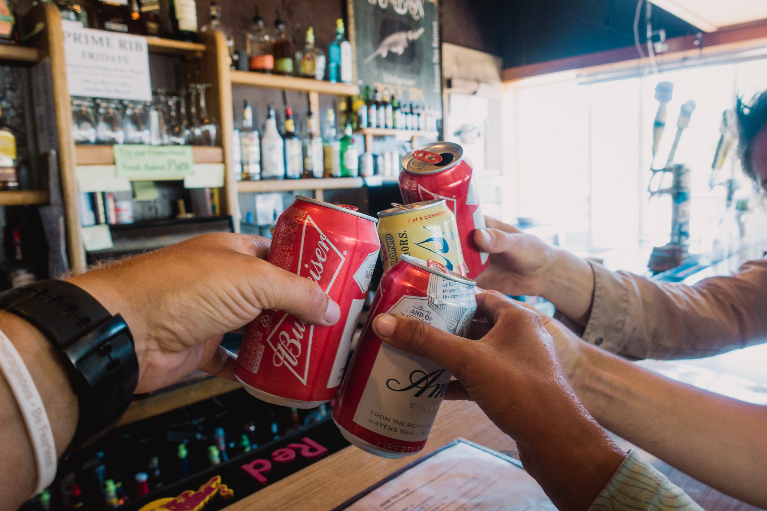
Free beer for PCT hikers!
I sat on the counter with few friends and as my nacho platter arrived, I could see why it was a thru-hiker favorite. This mountain of nachos could easily feed two or three people. Everything on the plate was made at the restaurant and it was delicious. I struggled a little with the last few bites but managed to conquer the mountain. Hiker hunger is a real thing.
The place was really cozy and hiker friendly. Free beer as you walk in the door, delicious and reasonably priced food and homemade pies! I was too full to take on the pie challenge but watched with awe as others did.
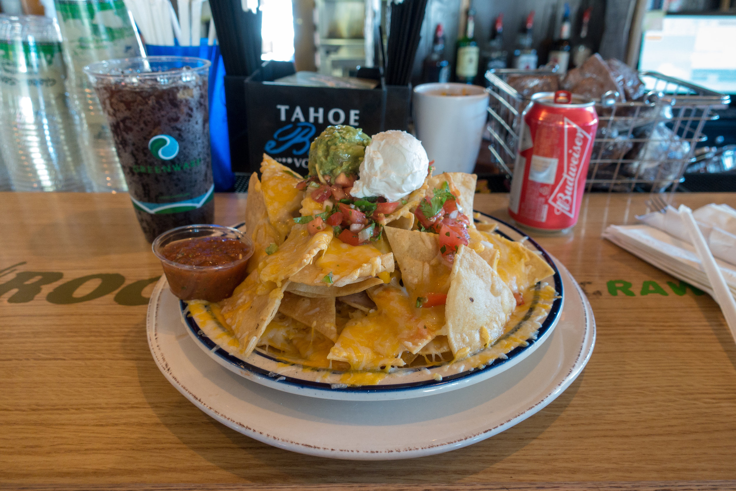
The mountain of nachos.
I also charged my electronics. This has really become an issue as my battery bank takes way too long to charge and doesn’t have enough power to last me from town to town. I really need to get a larger battery bank as I'm consuming more than I thought. And as the distances between town stops are only getting longer from here on out, the issue is getting bigger.
Others started heading out but I needed to wait for my battery bank to recharge more. Not only does the bank not last long enough, it takes too much time to fully recharge.
In the end, I spend over five hours at the Ski Ranch waiting for the battery bank to recharge and really needed to get going. I got out and started walking back towards the trail. Right as I was about to get on the trail I heard yelling and I saw some people at the trailhead giving trail magic. Well, I had already lost most of the day so why not a little more. It was a dad with his daughter and son. They were here from Bay Area.
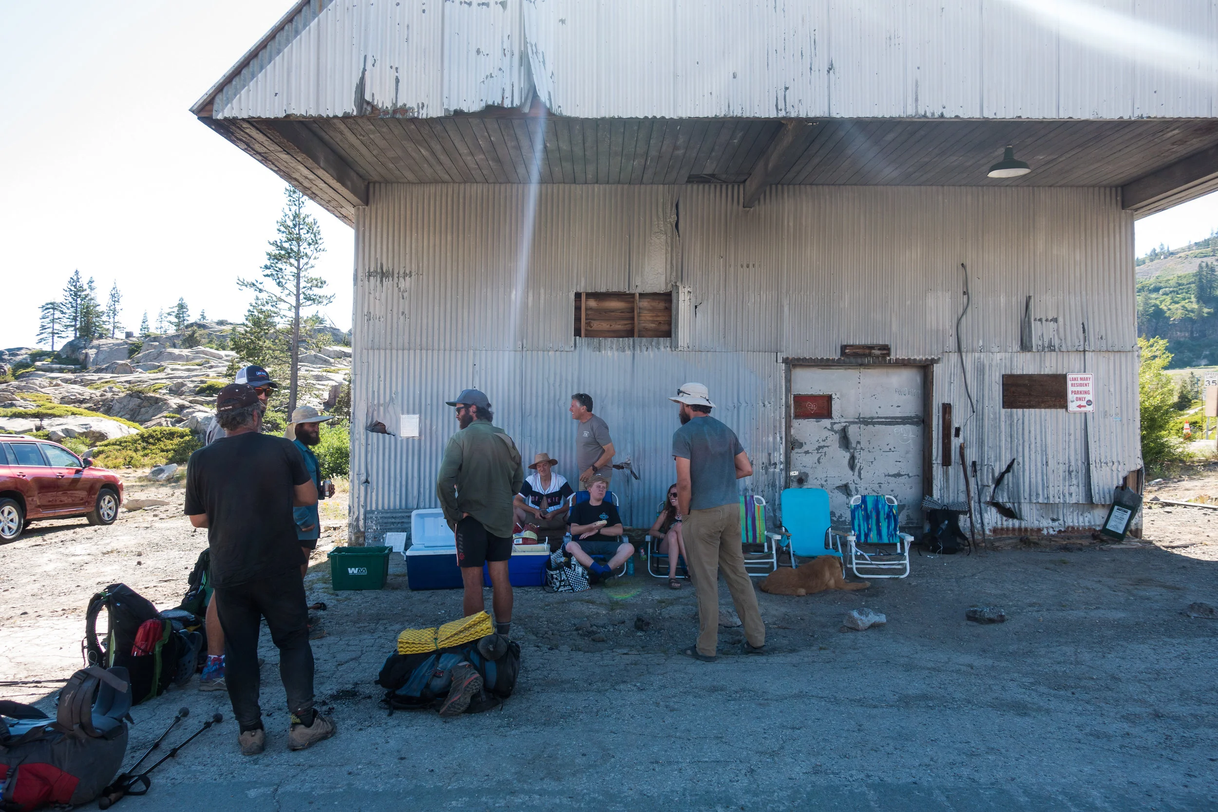
Trail magic at the trailhead.
I had a Pepsi and talked with them and incoming hikers for a while but I really needed to get going. It was already late and I had lost most of the day by not hiking so I had no expectations going out. I had little under three hours left before it would get dark. Unless I wanted tonight hike, I wasn't getting 25 miles done today.
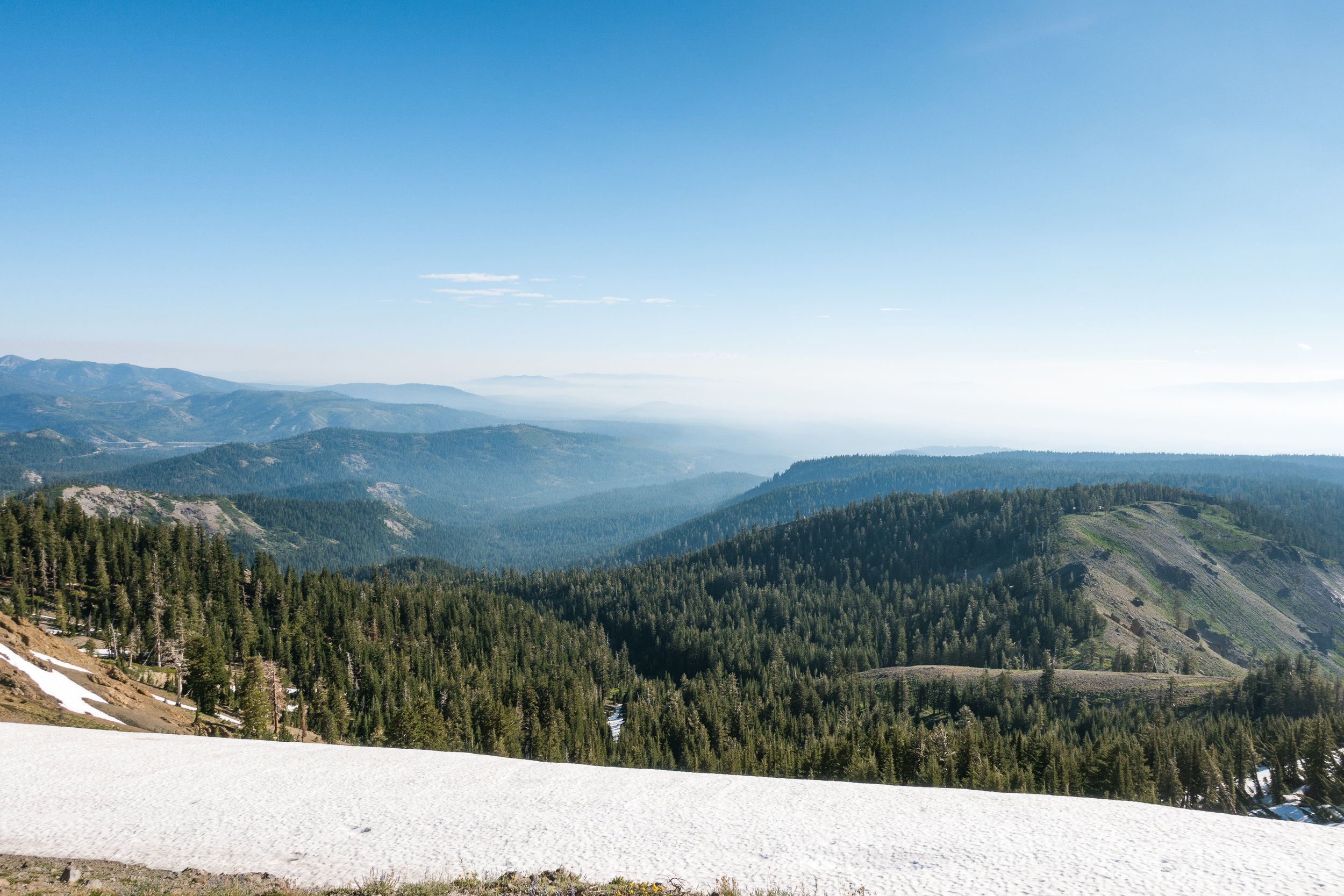
I just put my head down, turned up the volume and started walking, deciding to stop once it got dark. I was flying over the hills and hiking felt really good. On the way, I passed a couple of hikers who had left earlier and then saw no-one on the trail.

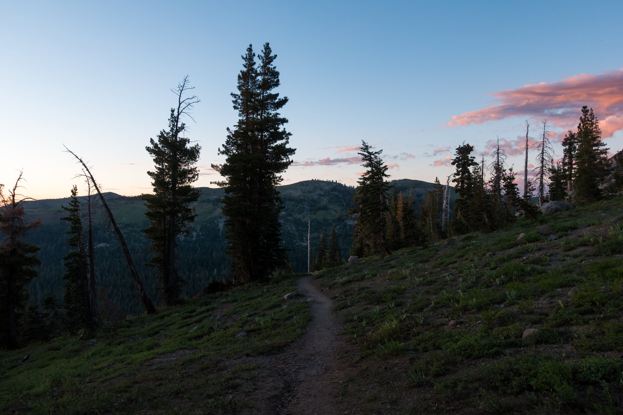
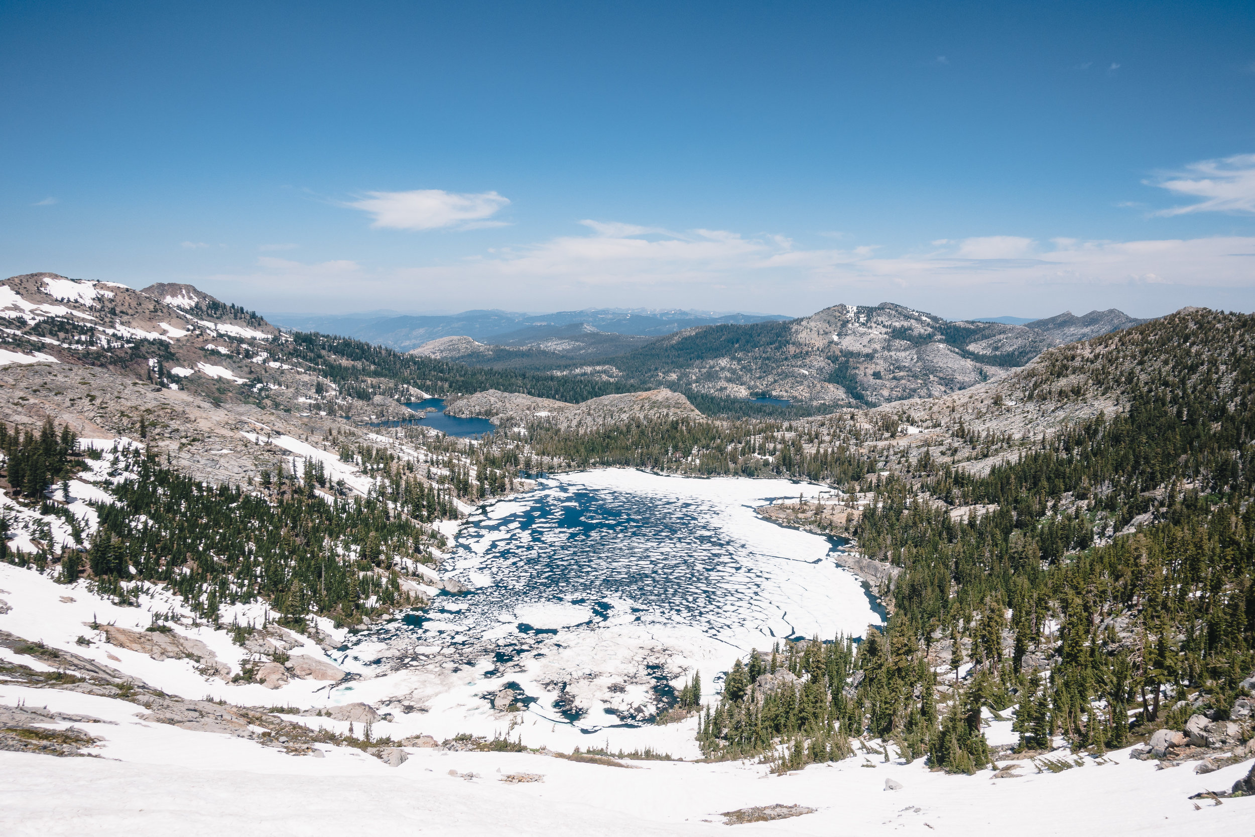
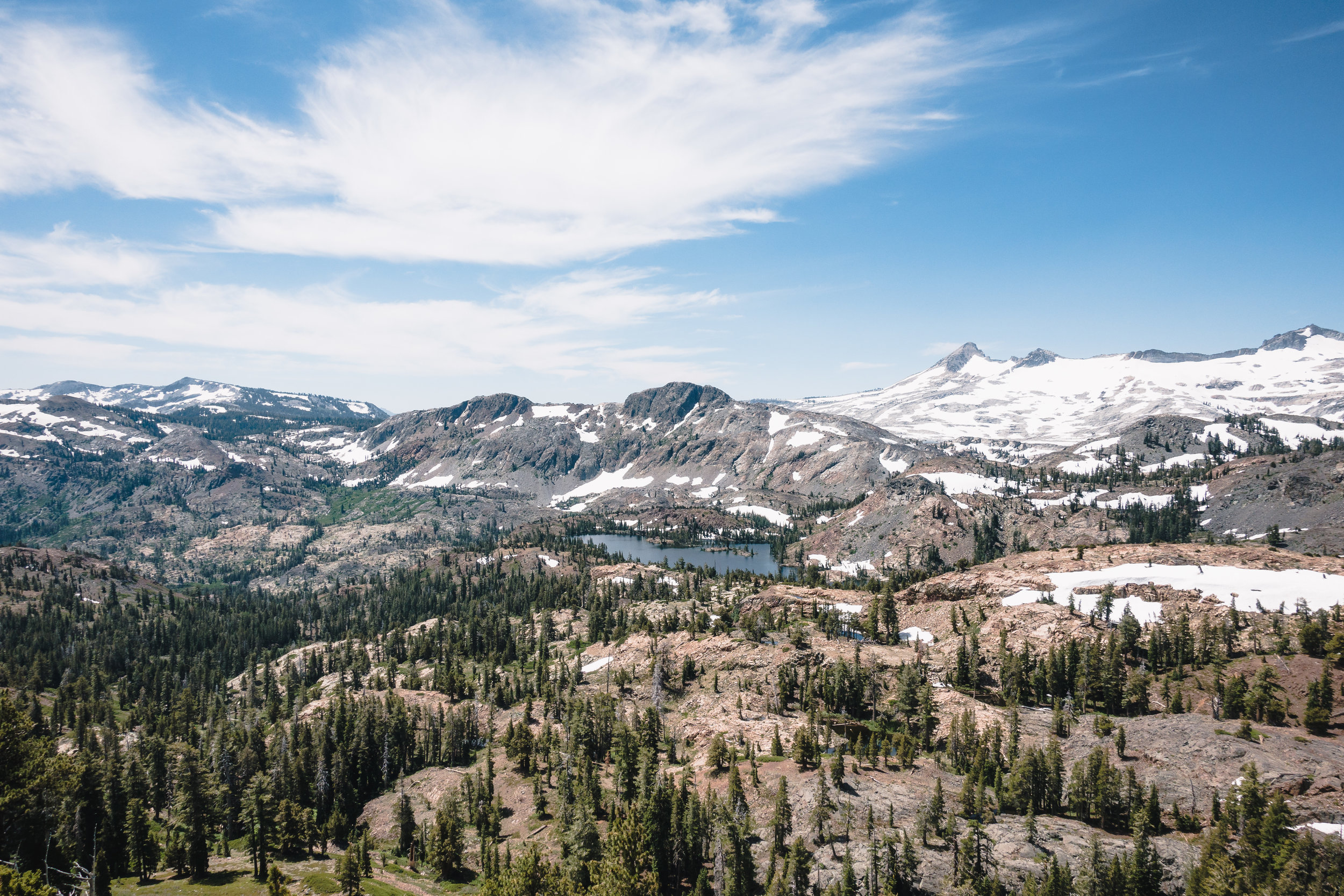
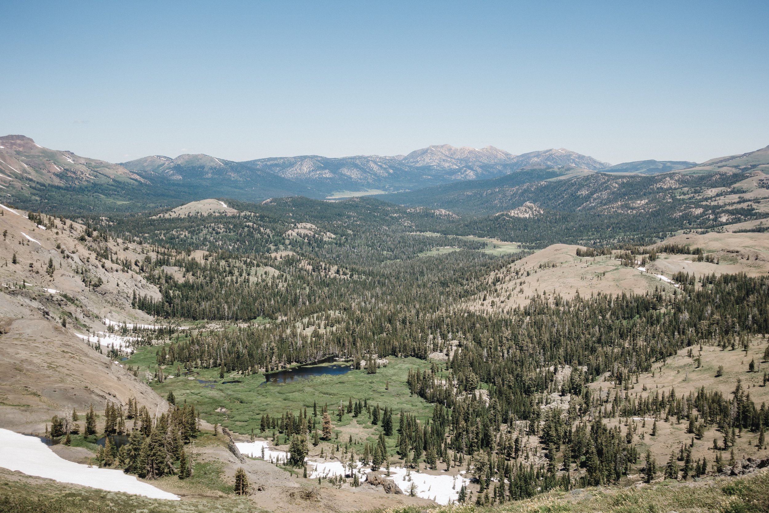
Evening views.
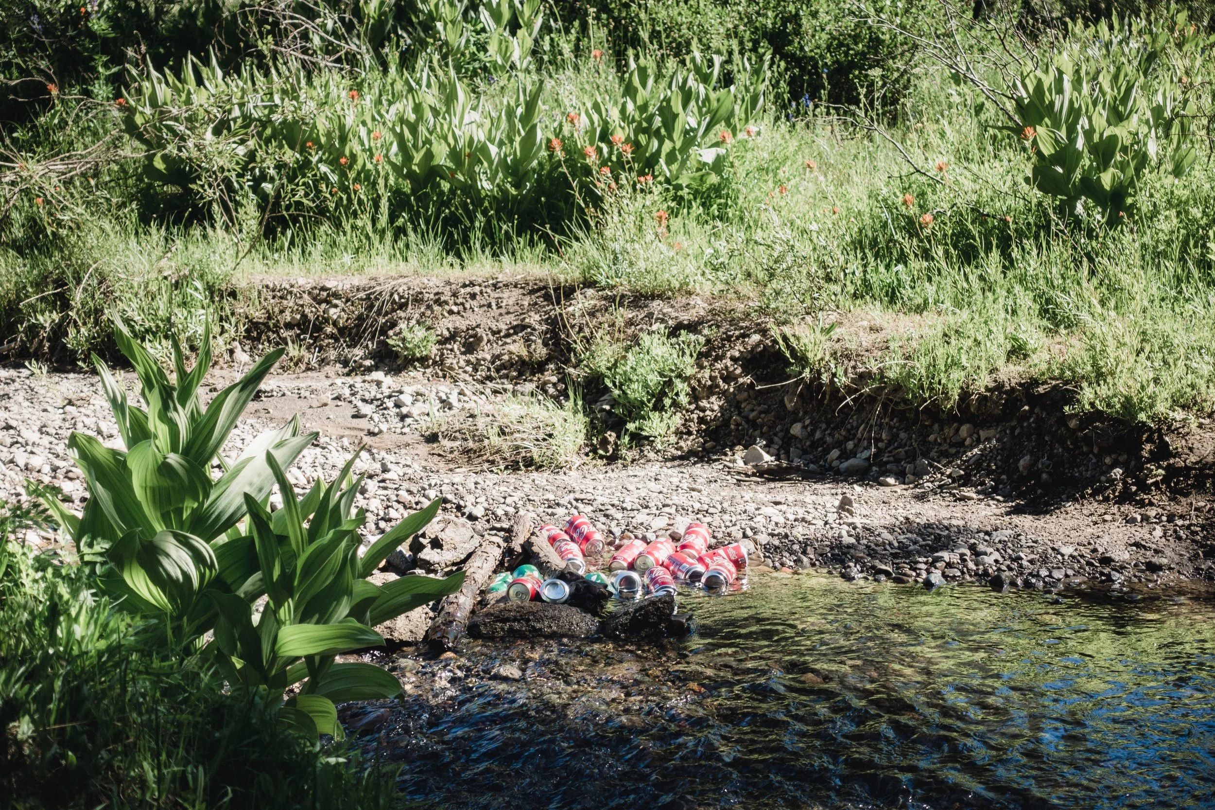
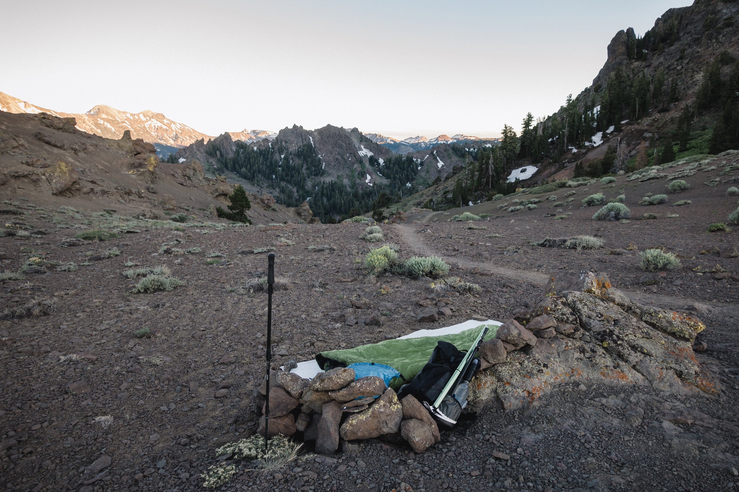
Looking at the map I thought I could make it to a nice looking river to camp. The sun was already setting and I reached the river just as it got dark. I saw few other tents there so I knew I wasn't camping alone tonight. I ate my dinner under my tarp, filtered some water, and then fell asleep.
My next goal is to reach highway 49, from where you access Sierra City. The highway is 31 miles away from here. I want to get to town early in the morning so tomorrow I’ll try to get as close to the highway as possible, leaving a short day for the day after.
Looking at my progress I see I've been too slow throughout this section. Originally I wanted to get to Sierra City tomorrow morning, which means I'm a day late from the planned schedule. I feel like instead of catching up to others, I'm falling behind.
Sponsored by:
![]()